

© Gemeinde Treglwang

© Gemeinde Treglwang
Dati percorsi
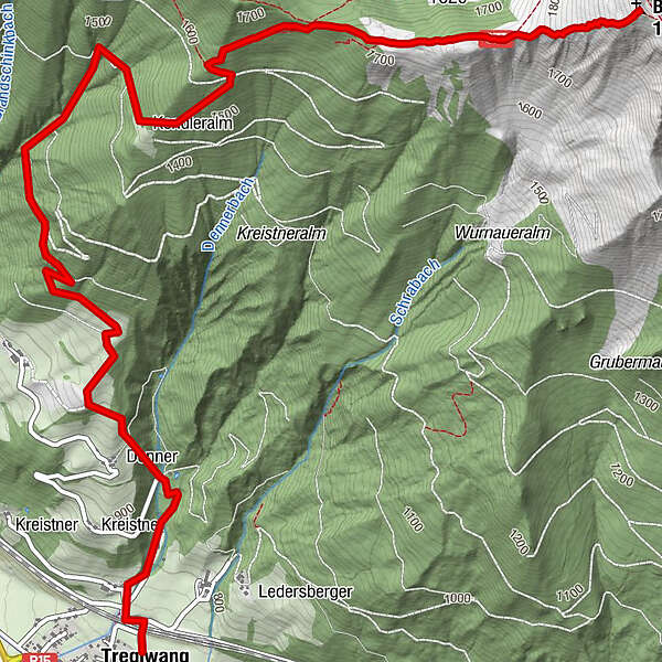
6,3km
766
- 1.930m
1.083hm
1.083hm
05:00h
- Difficoltà
-
intermedio
- Valutazione
-
- Punto di partenza
-
Bahnhof Treglwang (kein Zughalt), Parkplatz
- Percorso
-
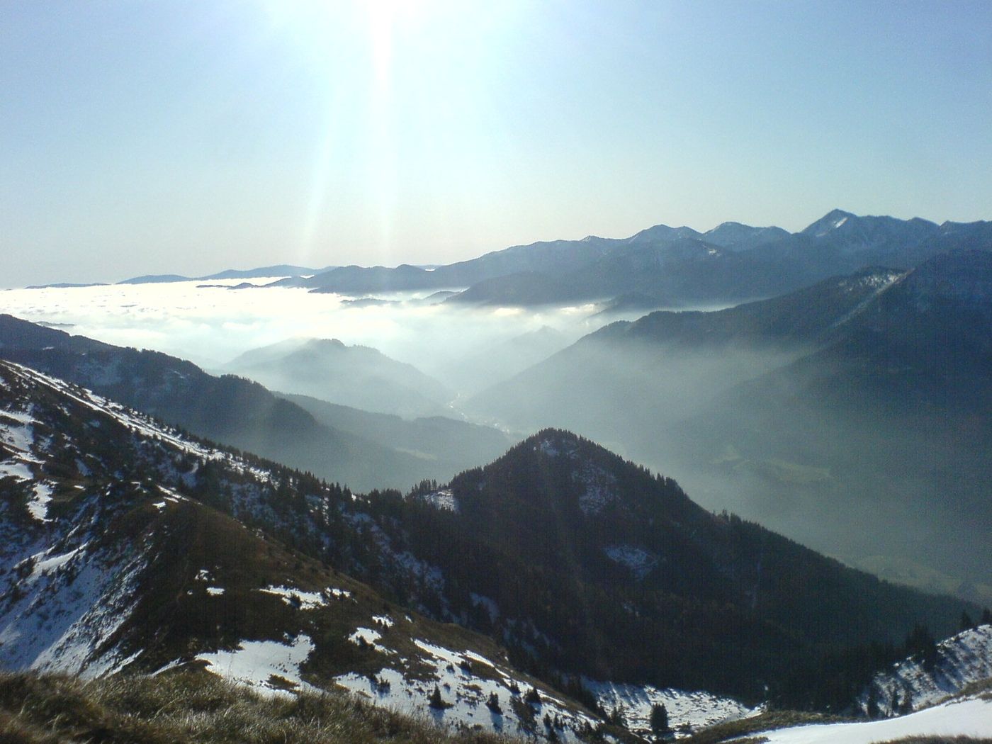
TreglwangBlaseneck (1.969 m)6,3 km
- La stagione migliore
-
genfebmaraprmaggiulugagosetottnovdic
- Punto più alto
- 1.930 m
- Riposo/Ritiro
-
Beim Ausgangs/Endpunkt GH Ploderer "Treglwangerhof", GH Reitmaier "Rainer"

GPS Downloads


Condizioni dei sentieri
Asfalto
Ghiaia
Prato
Foresta
Roccia
Esposta
 & Kaiserschild (rechts)")

")


