© Erlebnisregion Schladming-Dachstein - Alois Guggi

© Erlebnisregion Schladming-Dachstein - Alois Guggi

© Erlebnisregion Schladming-Dachstein - Alois Guggi

© Erlebnisregion Schladming-Dachstein - Alois Guggi

© Erlebnisregion Schladming-Dachstein - Alois Guggi

© Erlebnisregion Schladming-Dachstein - Alois Guggi

© Erlebnisregion Schladming-Dachstein - Alois Guggi

© Erlebnisregion Schladming-Dachstein - Alois Guggi
- Descrizione rapida
-
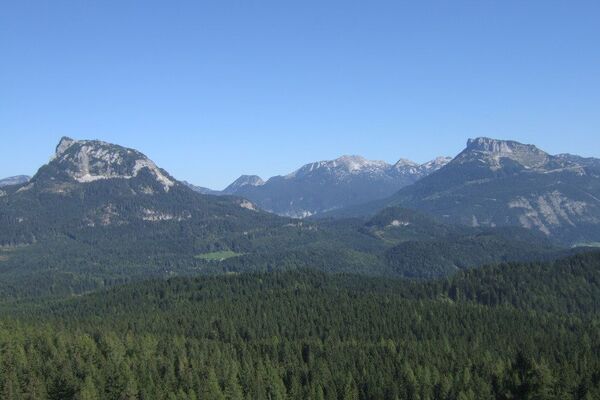
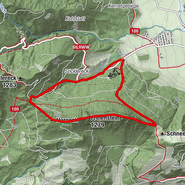
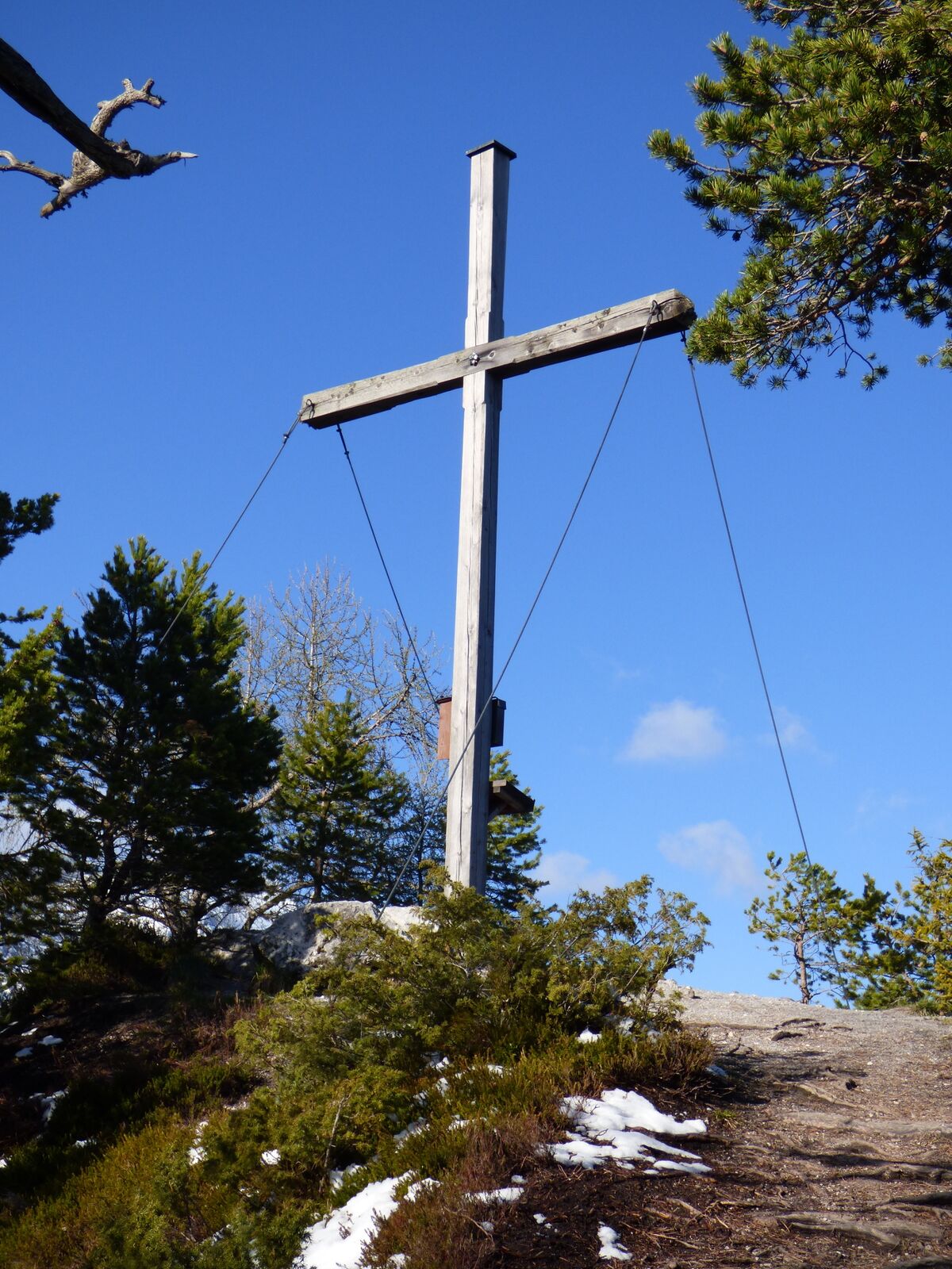
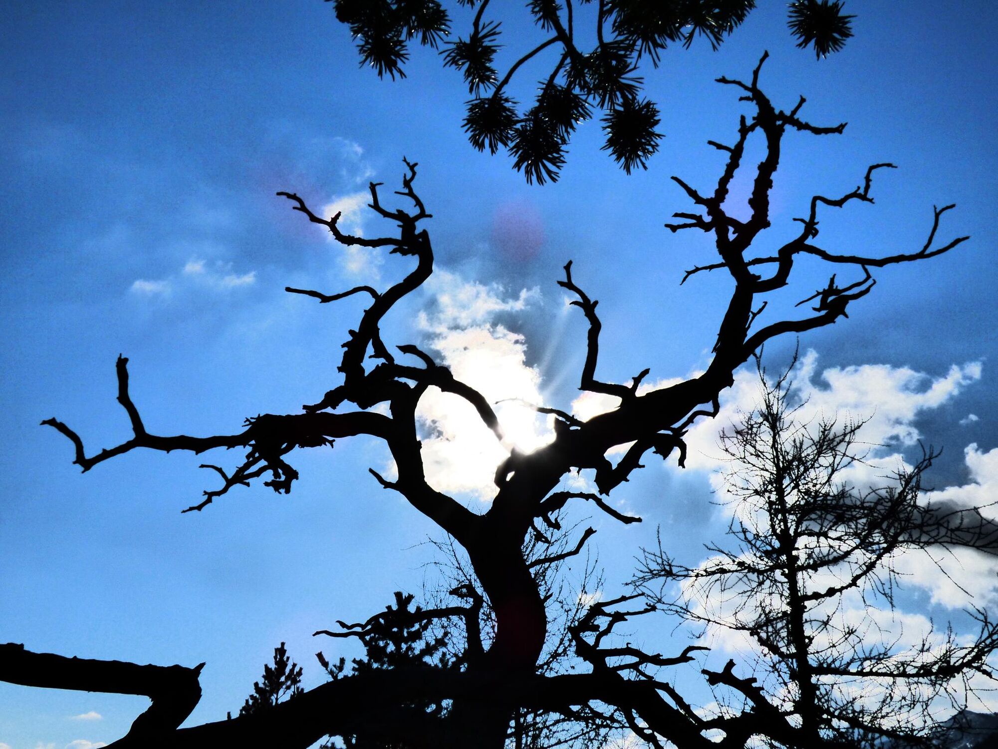
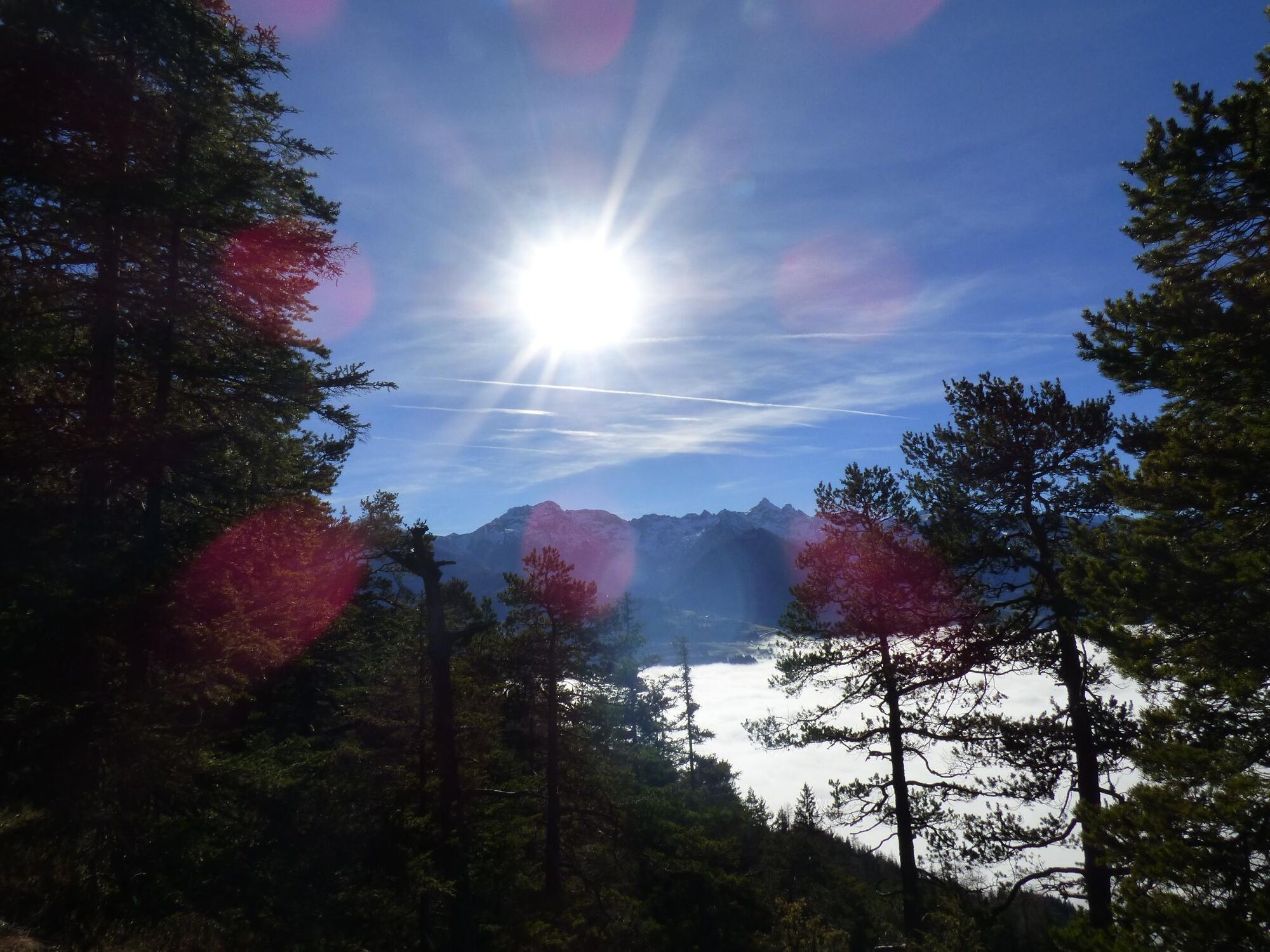
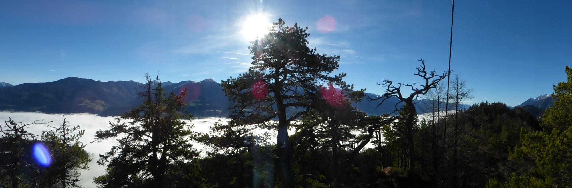
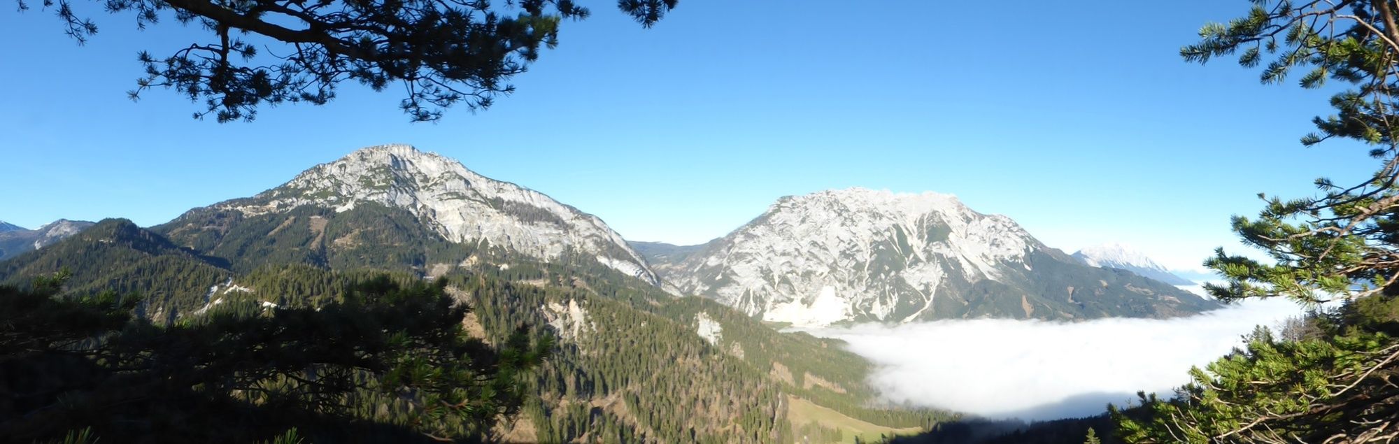
An inconspicuously sophisticated tour - from the adventure park, you will first travel to the left towards the summit cross entrance after the first steep climb. Travelling through the back of Freinstein, you will reach the Freinstein summit cross via a few steep steps and return to the starting point via Assacherscharte.
- Difficoltà
-
intermedio
- Valutazione
-
- Percorso
-
Gröbmingeralm0,0 kmFreienstein (1.279 m)2,1 kmHorneck2,7 km
- La stagione migliore
-
genfebmaraprmaggiulugagosetottnovdic
- Punto più alto
- 1.251 m
- Destinazione
-
Parking - Abenteuerpark Gröbming
- Profilo altimetrico
-


-

-
AutoreIl tour Freienstein Circular Trail è utilizzato da outdooractive.com fornito.
GPS Downloads


Info generali
Promettente
Altri tour nelle regioni
-
Schladming - Dachstein
3000
-
Haus - Aich
1365
-
Michaelerberg-Pruggern
234