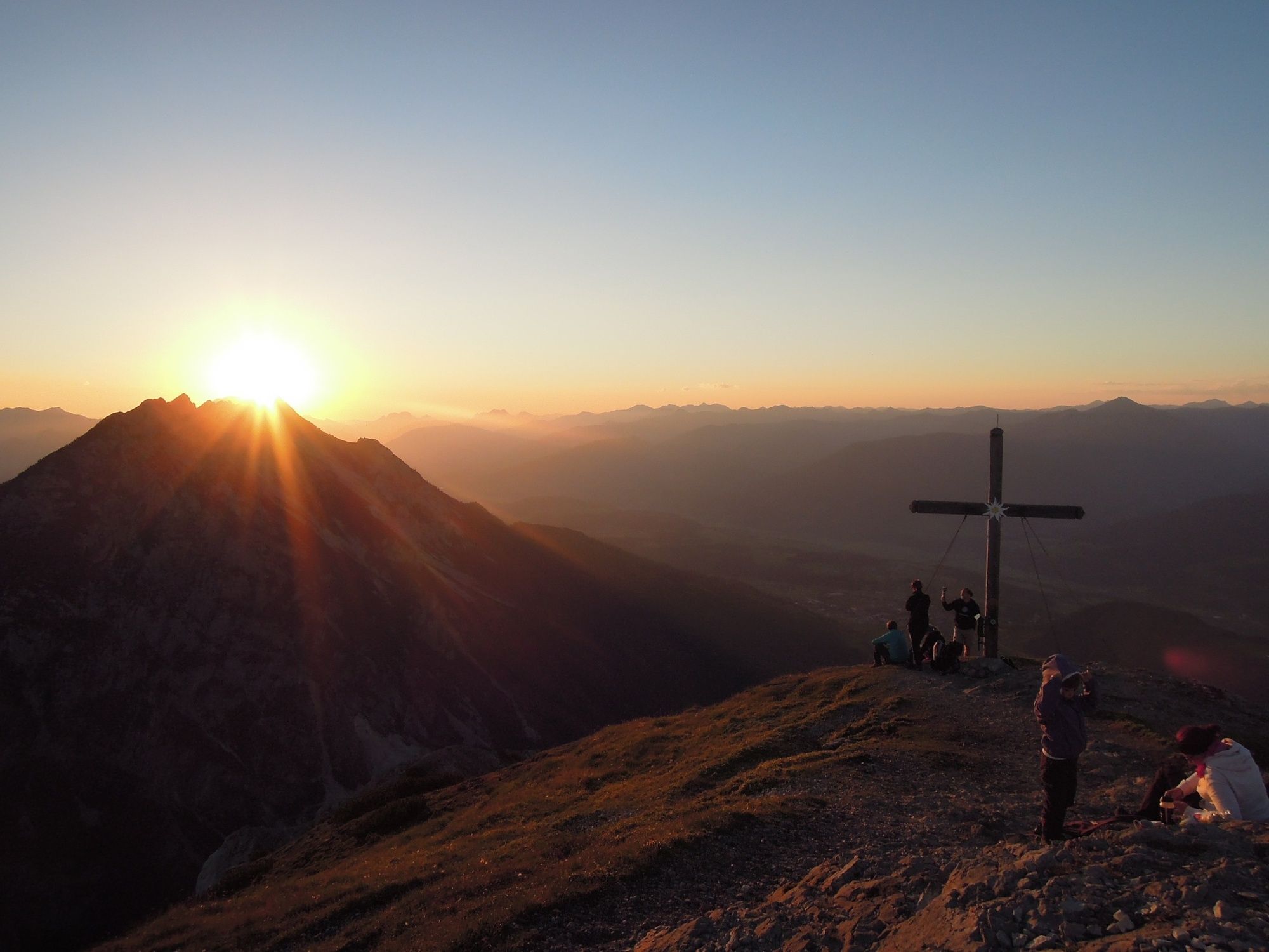
Stoderzinken, 2,048m through Öfen and Rotwandschlag

Escursionismo

© Erlebnisregion Schladming-Dachstein - Schladming Dachstein

© Erlebnisregion Schladming-Dachstein - Schladming Dachstein

© Erlebnisregion Schladming-Dachstein - Schladming Dachstein

© Erlebnisregion Schladming-Dachstein - Schladming Dachstein

© Erlebnisregion Schladming-Dachstein - Schladming Dachstein

© Erlebnisregion Schladming-Dachstein - Schladming Dachstein

© Erlebnisregion Schladming-Dachstein - Schladming Dachstein

© Erlebnisregion Schladming-Dachstein - Schladming Dachstein

© Erlebnisregion Schladming-Dachstein - Schladming Dachstein

© Erlebnisregion Schladming-Dachstein - Schladming Dachstein
- Descrizione rapida
-
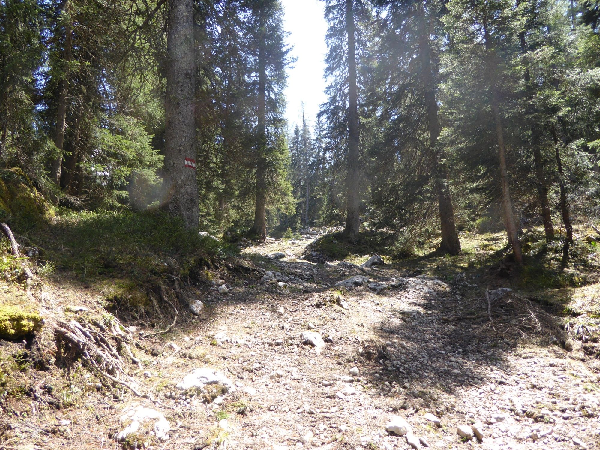
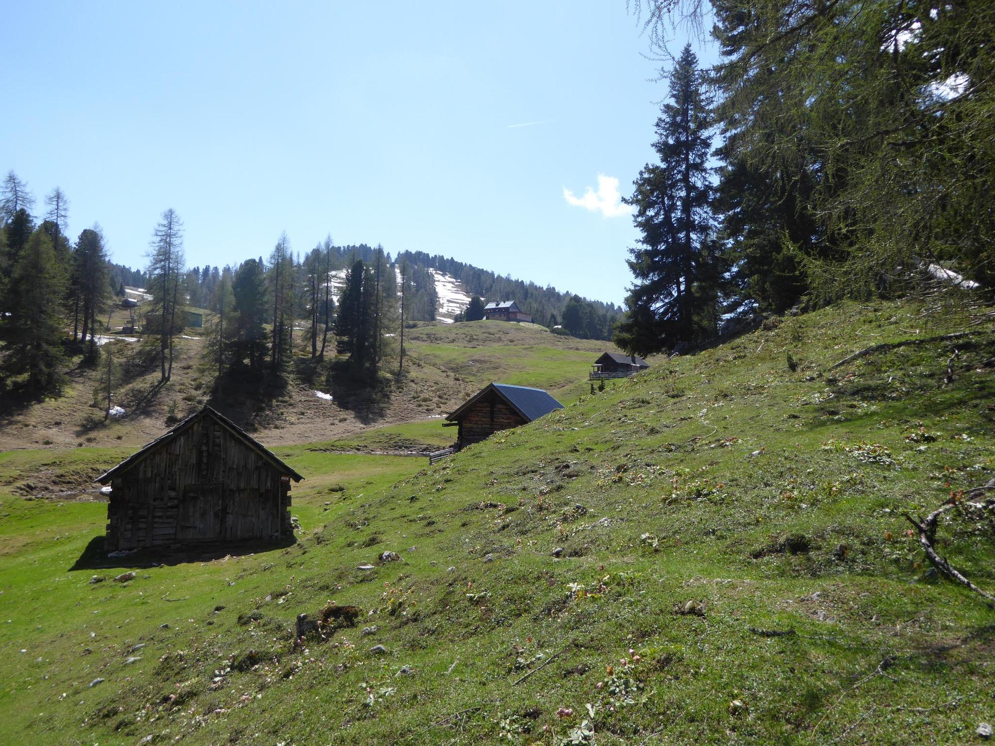
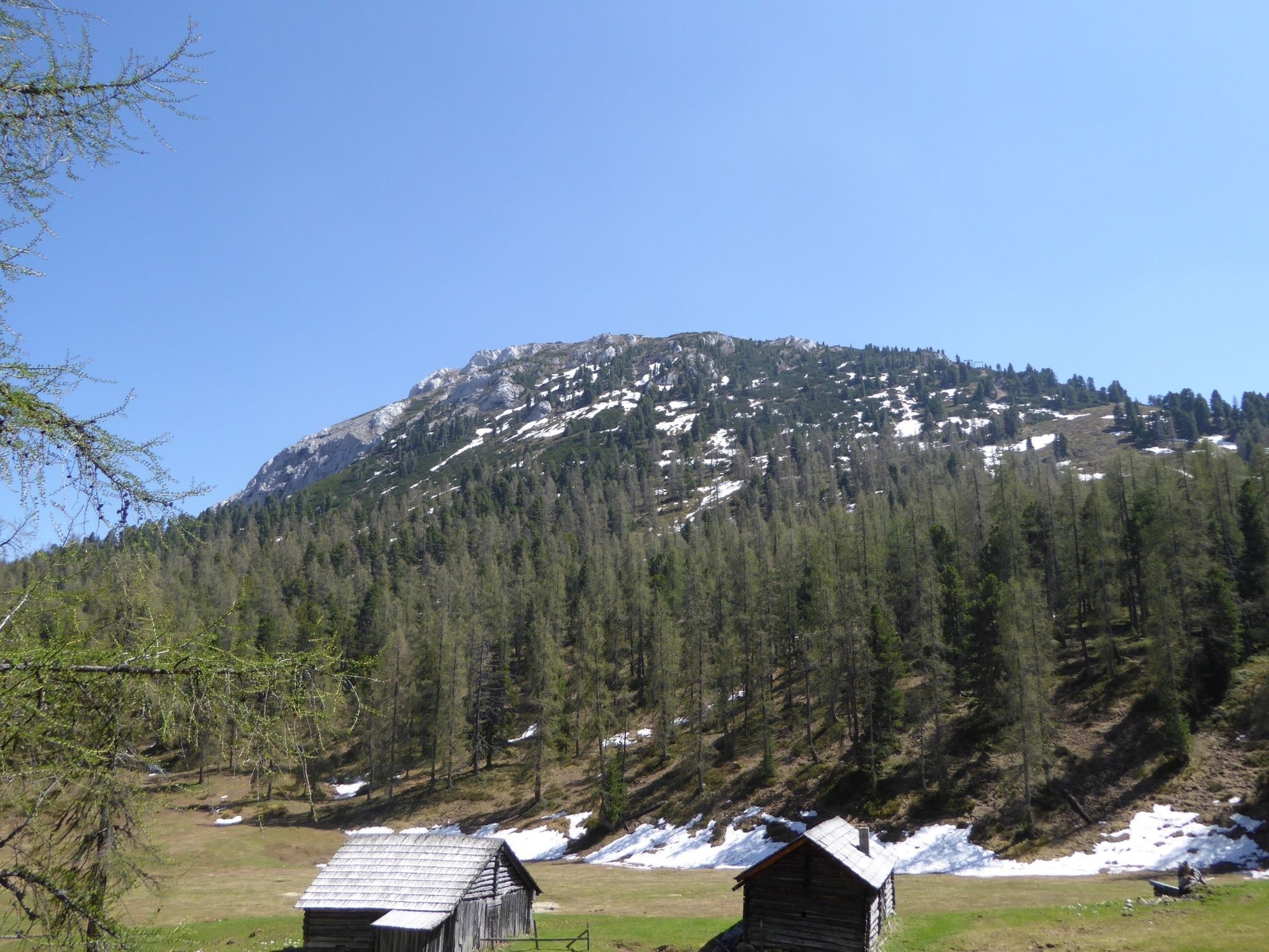
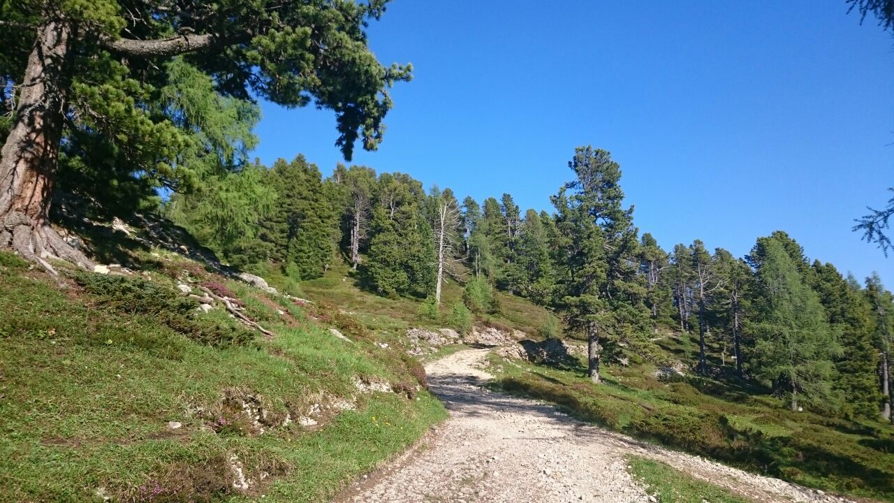
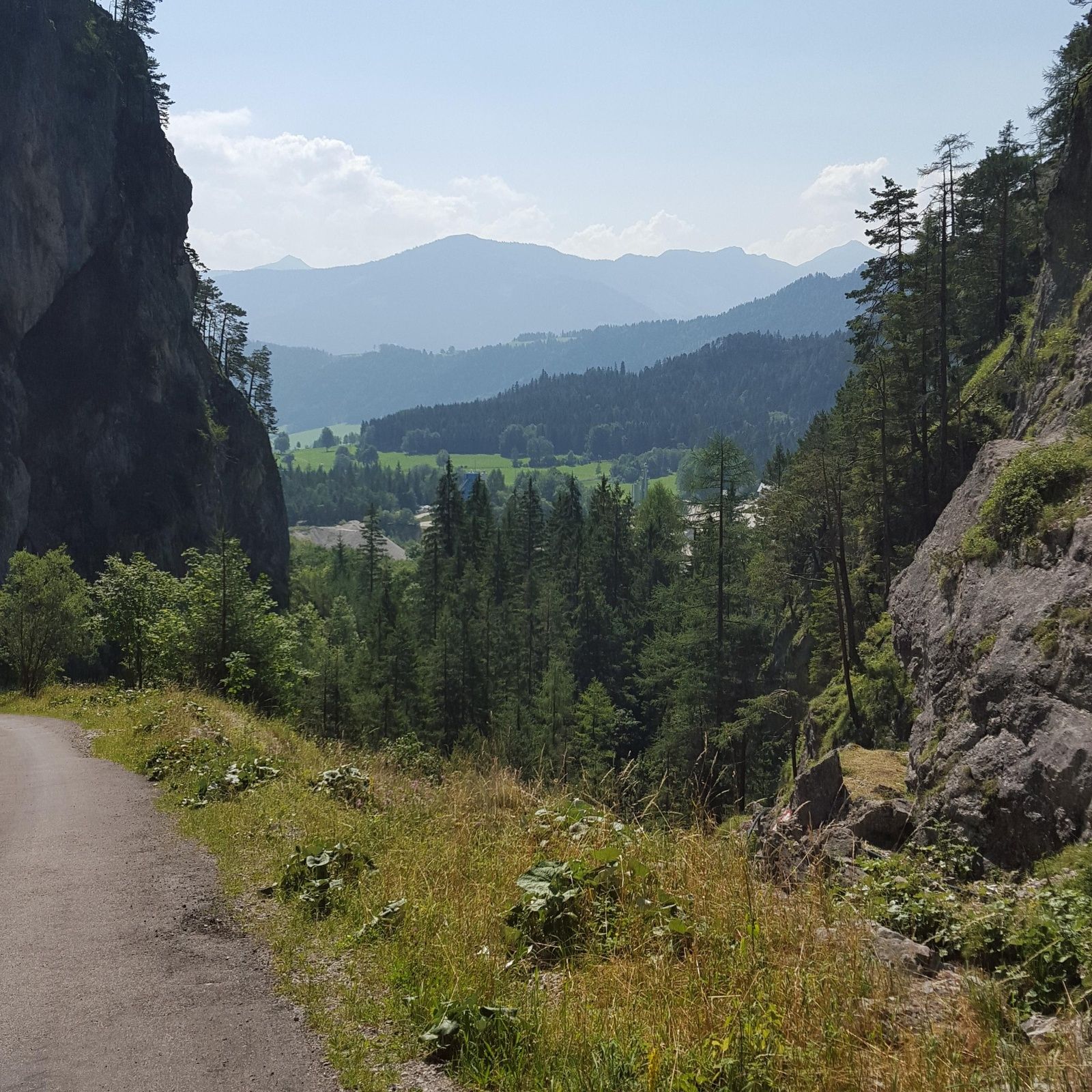
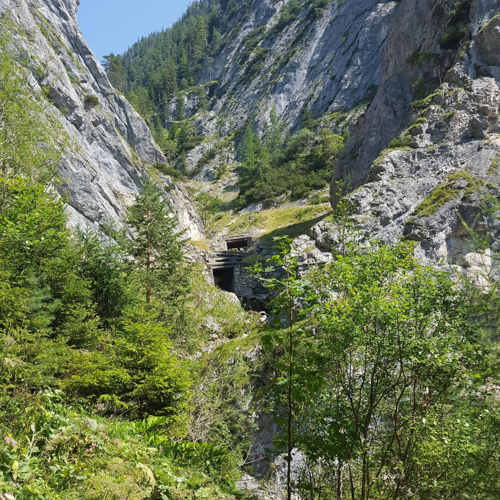
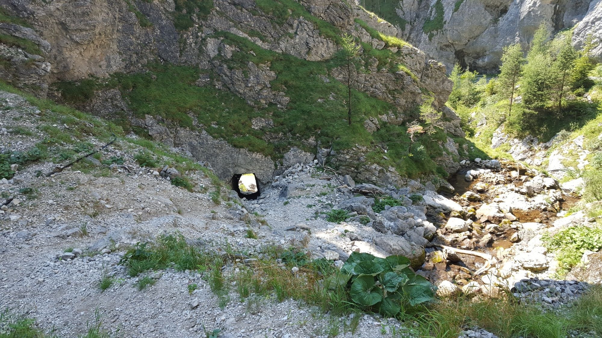
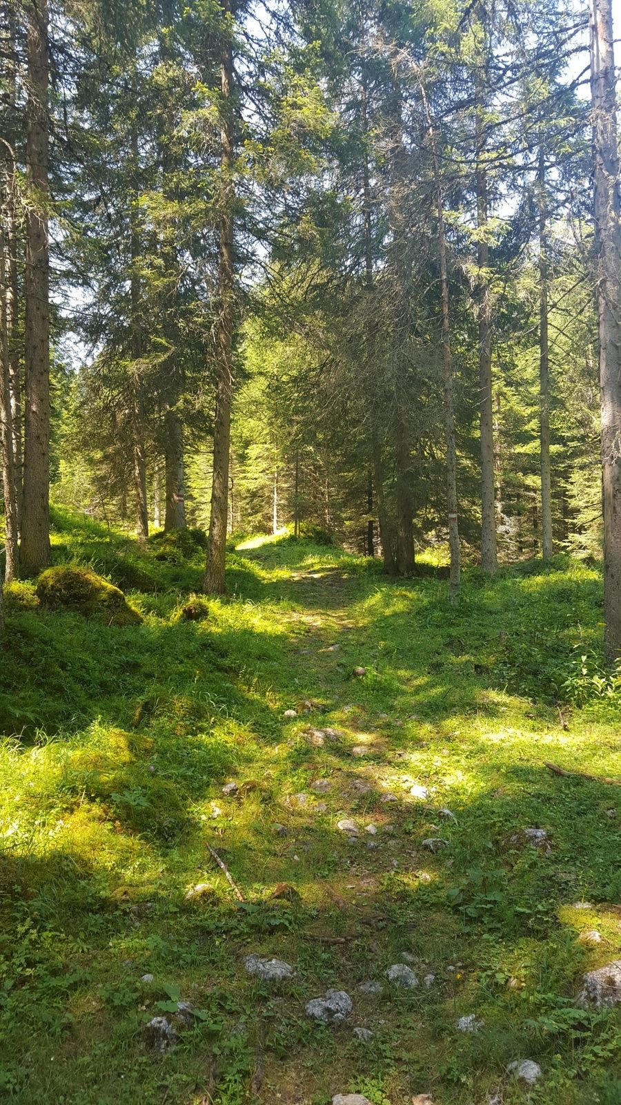
Go through the vast Öfen gorge via the Rote Wand (also known as Rotwandschlag) and continue towards Stoderalm, located in a peaceful area. From there, continue towards Stoderzinken’s peak.
- Difficoltà
-
intermedio
- Valutazione
-
- Percorso
-
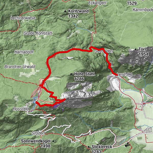
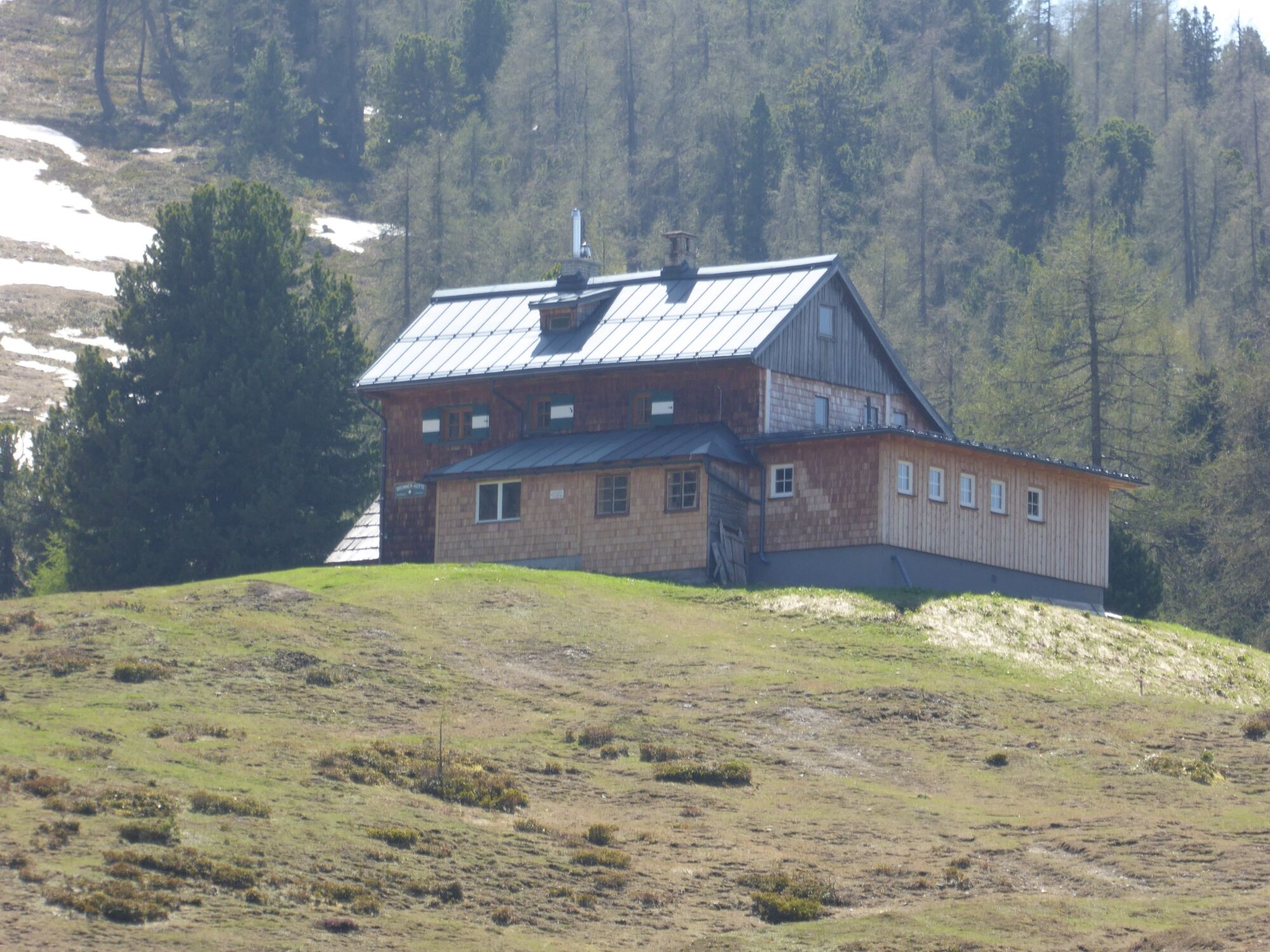
Seeboden1,0 kmStoderalm4,1 kmBrünner Hütte4,4 kmStoderzinken (2.048 m)5,8 km
- La stagione migliore
-
genfebmaraprmaggiulugagosetottnovdic
- Punto più alto
- 2.019 m
- Destinazione
-
Stoderzinken, 2.048m
- Profilo altimetrico
-


- Autore
-
Il tour Stoderzinken, 2,048m through Öfen and Rotwandschlag è utilizzato da outdooractive.com fornito.
GPS Downloads


Info generali
Punto di ristoro
Flora
Fauna
Promettente
Altri tour nelle regioni
-
Schladming - Dachstein
3000
-
Haus - Aich
1364
-
Aich
276


