


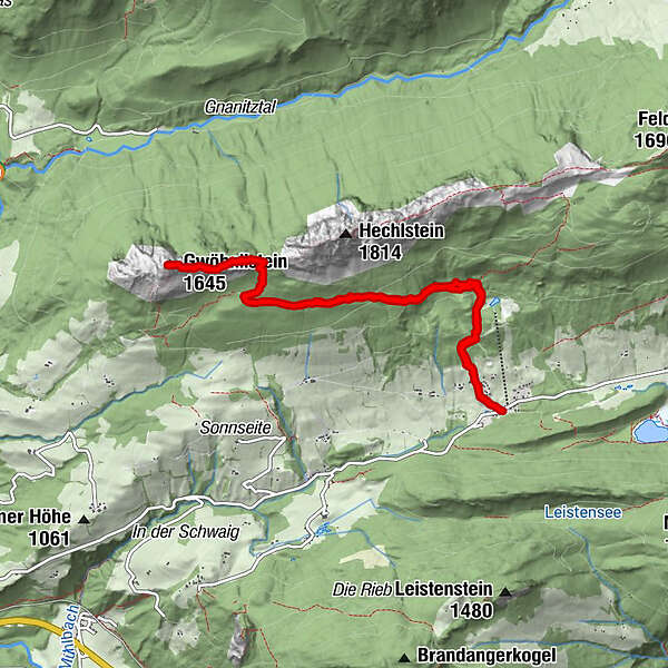
Dati percorsi
8,74km
1.114
- 1.609m
495hm
493hm
03:05h
- Descrizione rapida
-
Gemütliche Wanderung auf den Gwendlstein
- Difficoltà
-
facile
- Valutazione
-
- Punto di partenza
-
Wörschachwald (es ginge auch von Tauplitz aus oder weiter unten in Wörschachwald - also mehrere Wege führen zum Ziel)
- Percorso
-
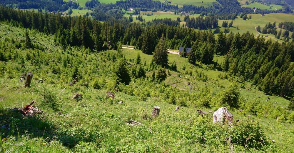
Wörschachwalderhof0,0 kmStruwin (1.521 m)3,6 kmGwendlingstein (1.645 m)4,4 kmWörschachwalderhof8,7 km
- La stagione migliore
-
genfebmaraprmaggiulugagosetottnovdic
- Punto più alto
- 1.609 m
- Riposo/Ritiro
-
ja, gäbe es beim Parkplatz
GPS Downloads


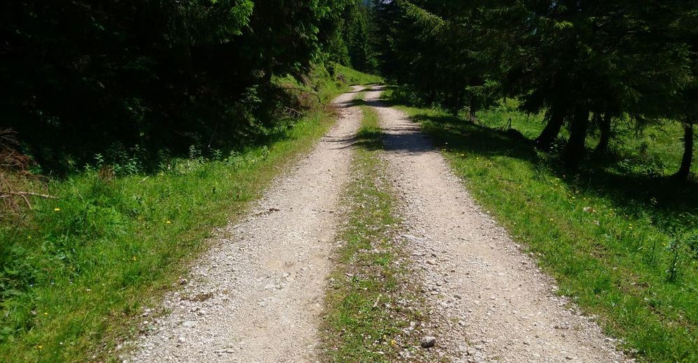
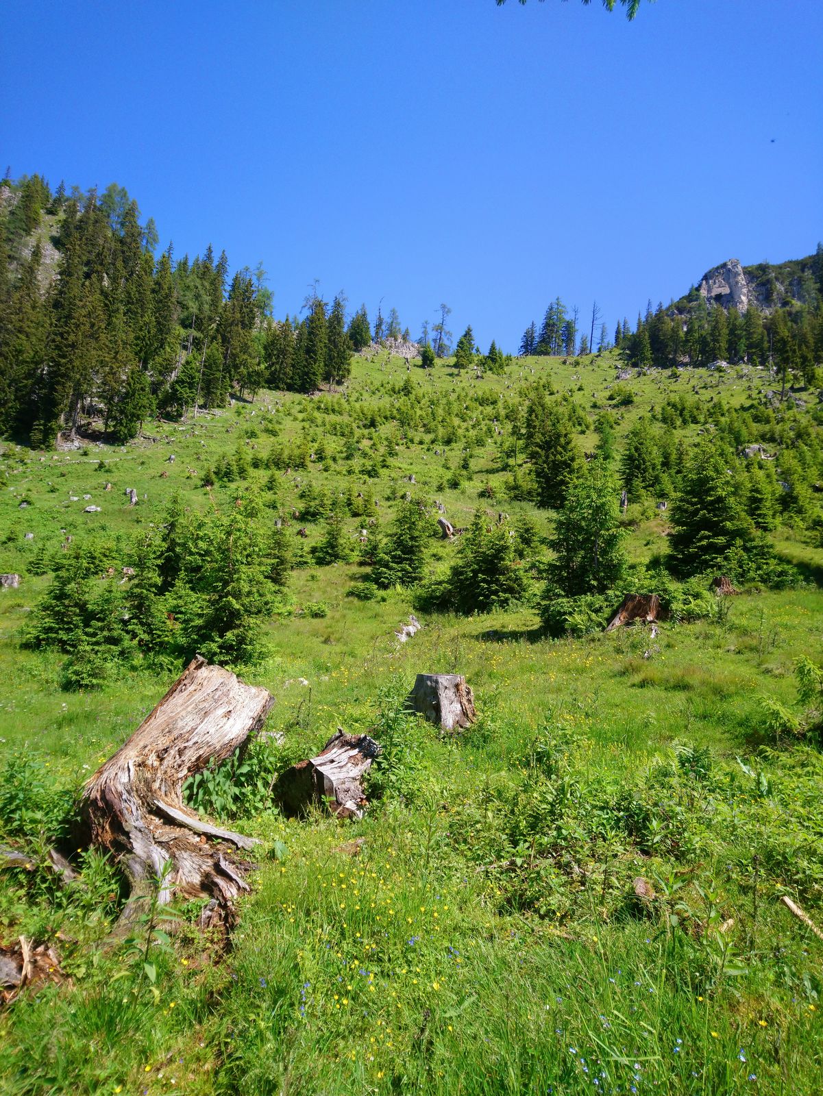
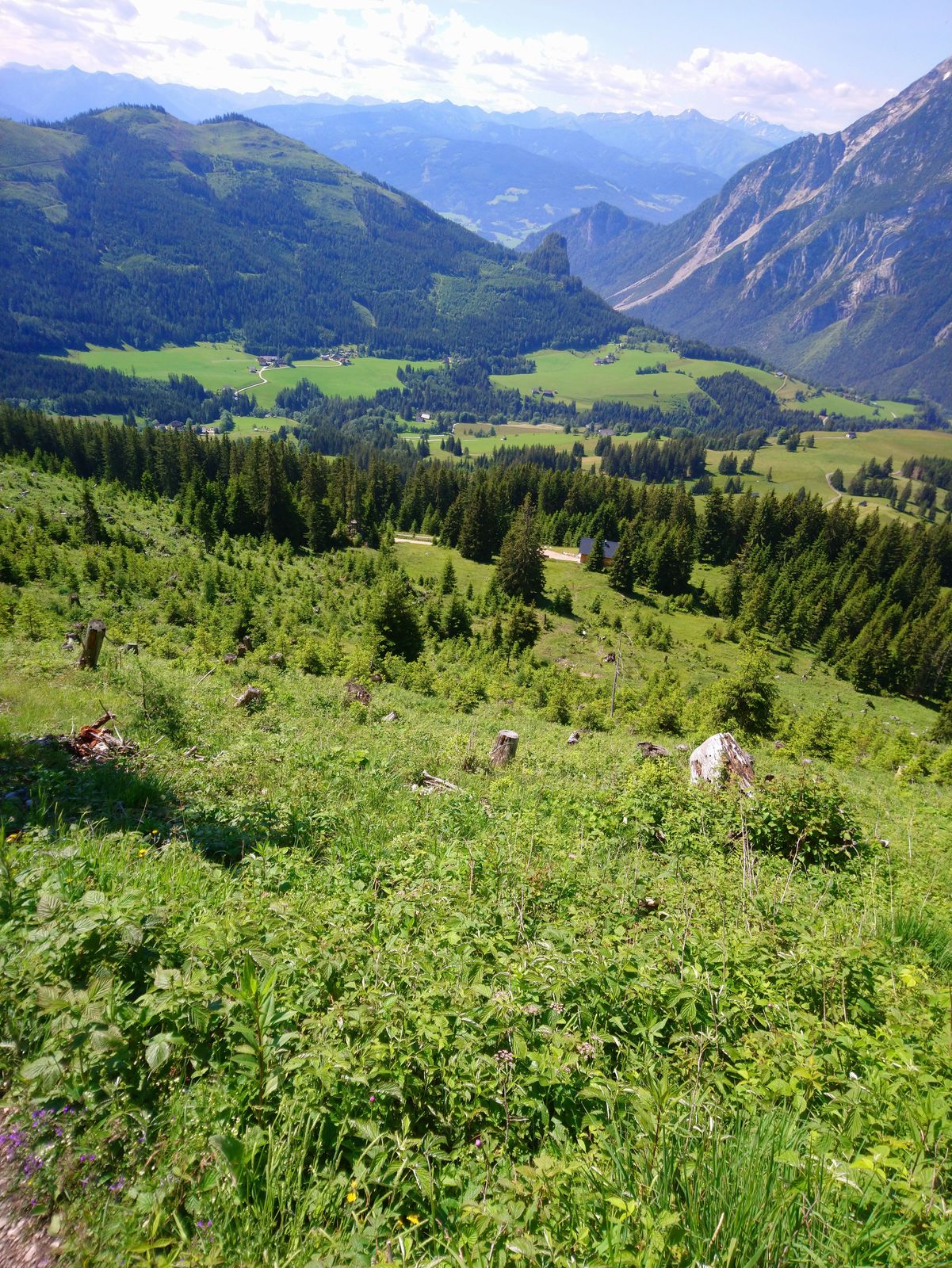
Condizioni dei sentieri
Asfalto
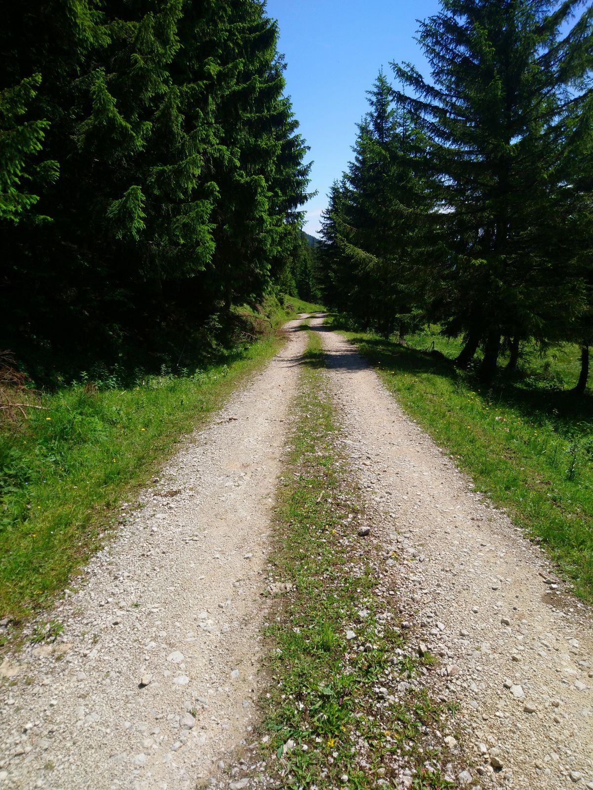
Ghiaia
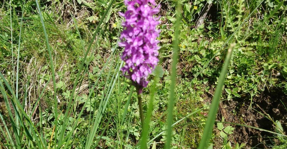
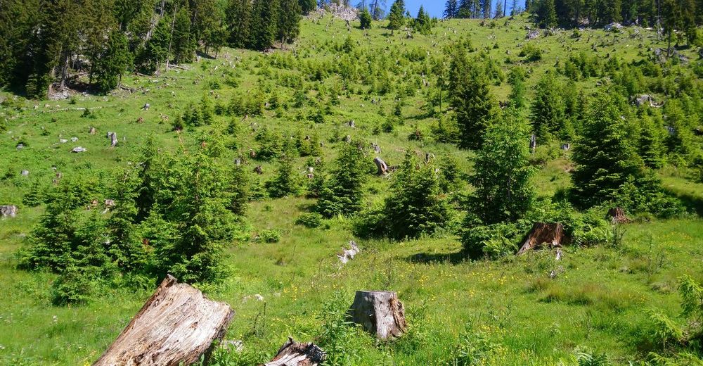
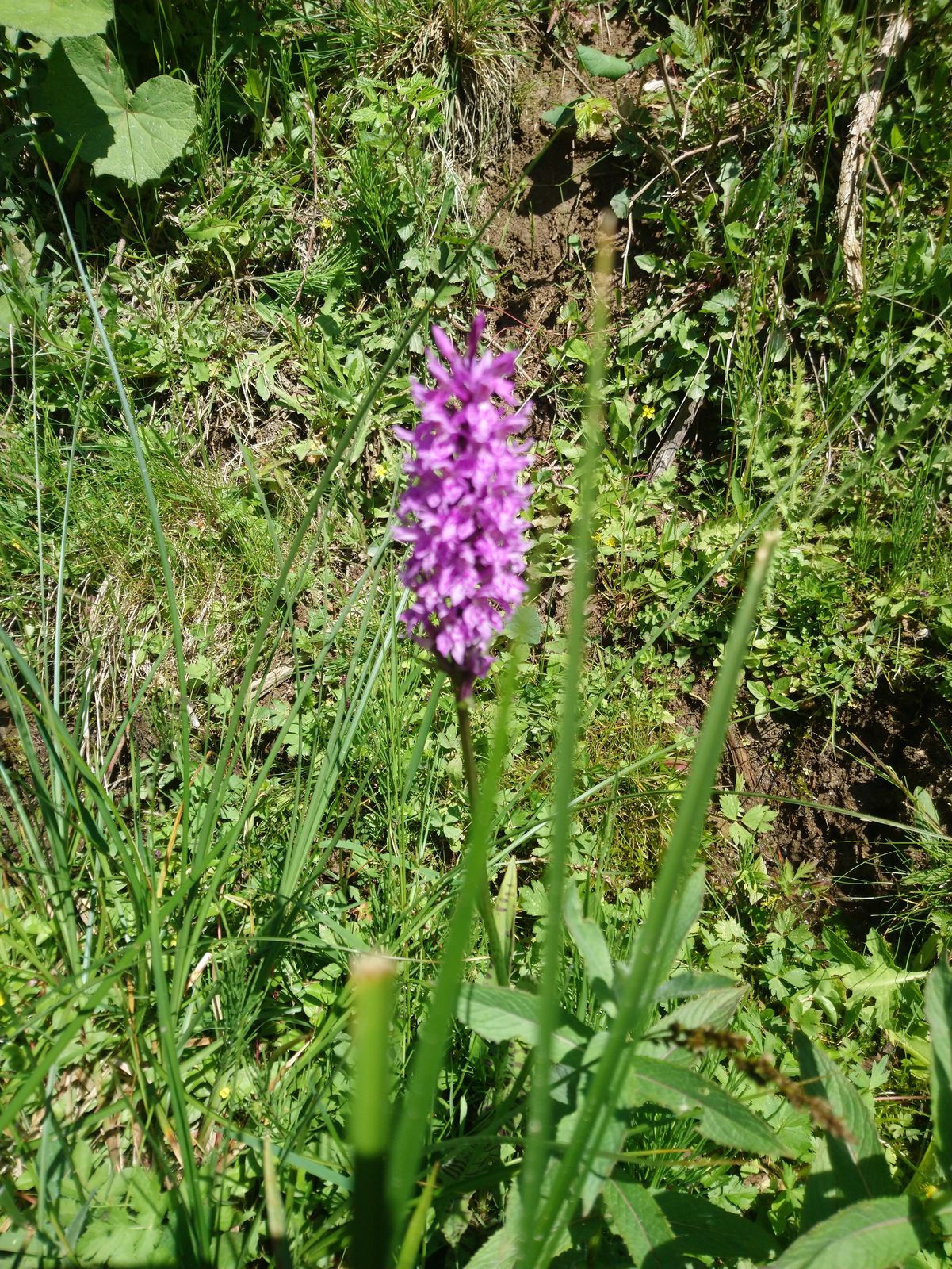
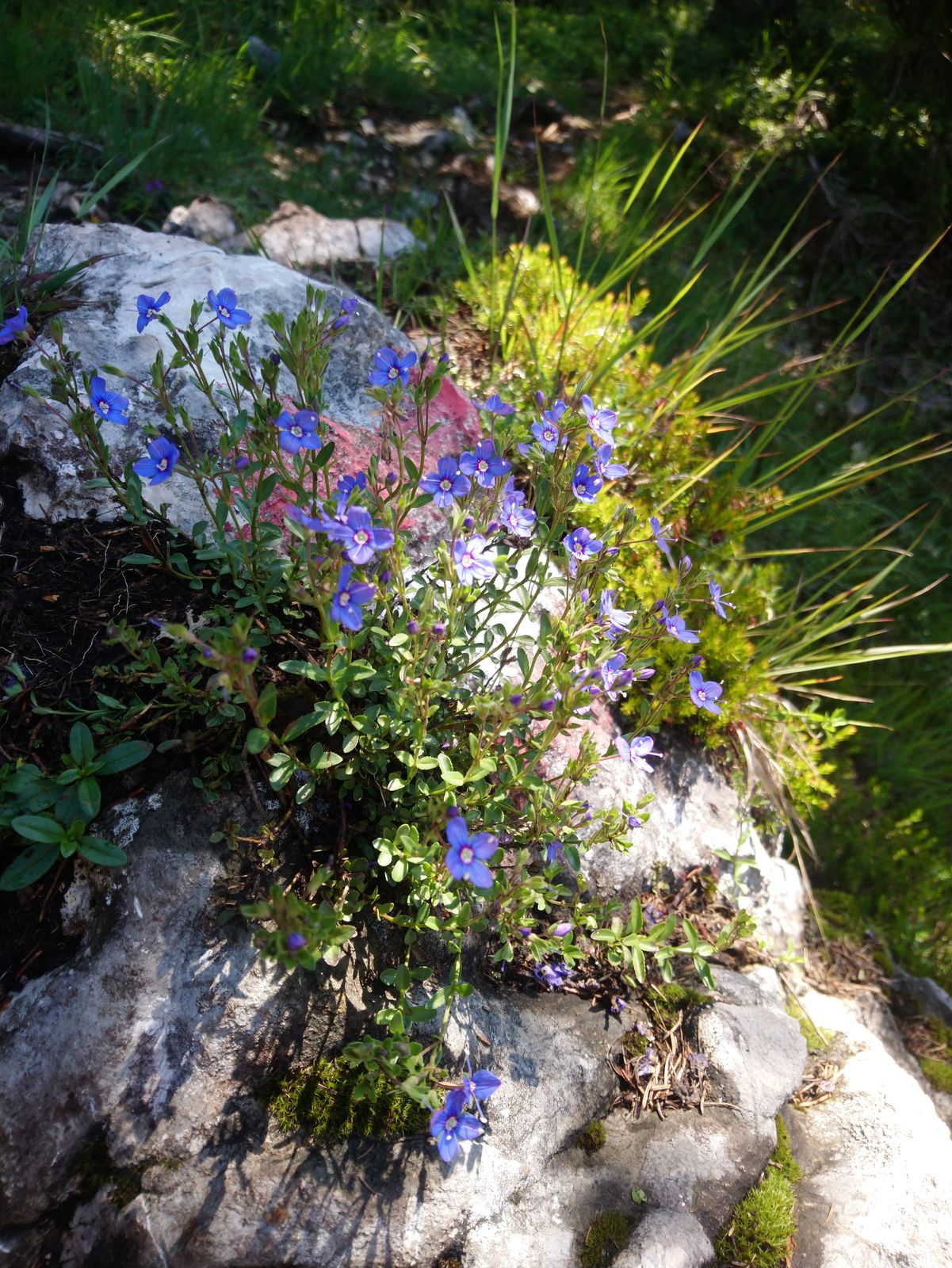
Prato
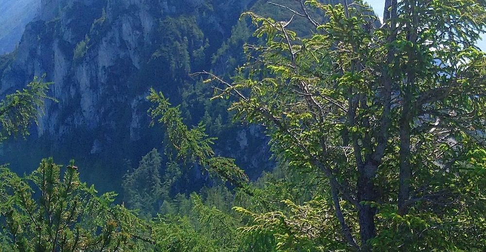
Foresta
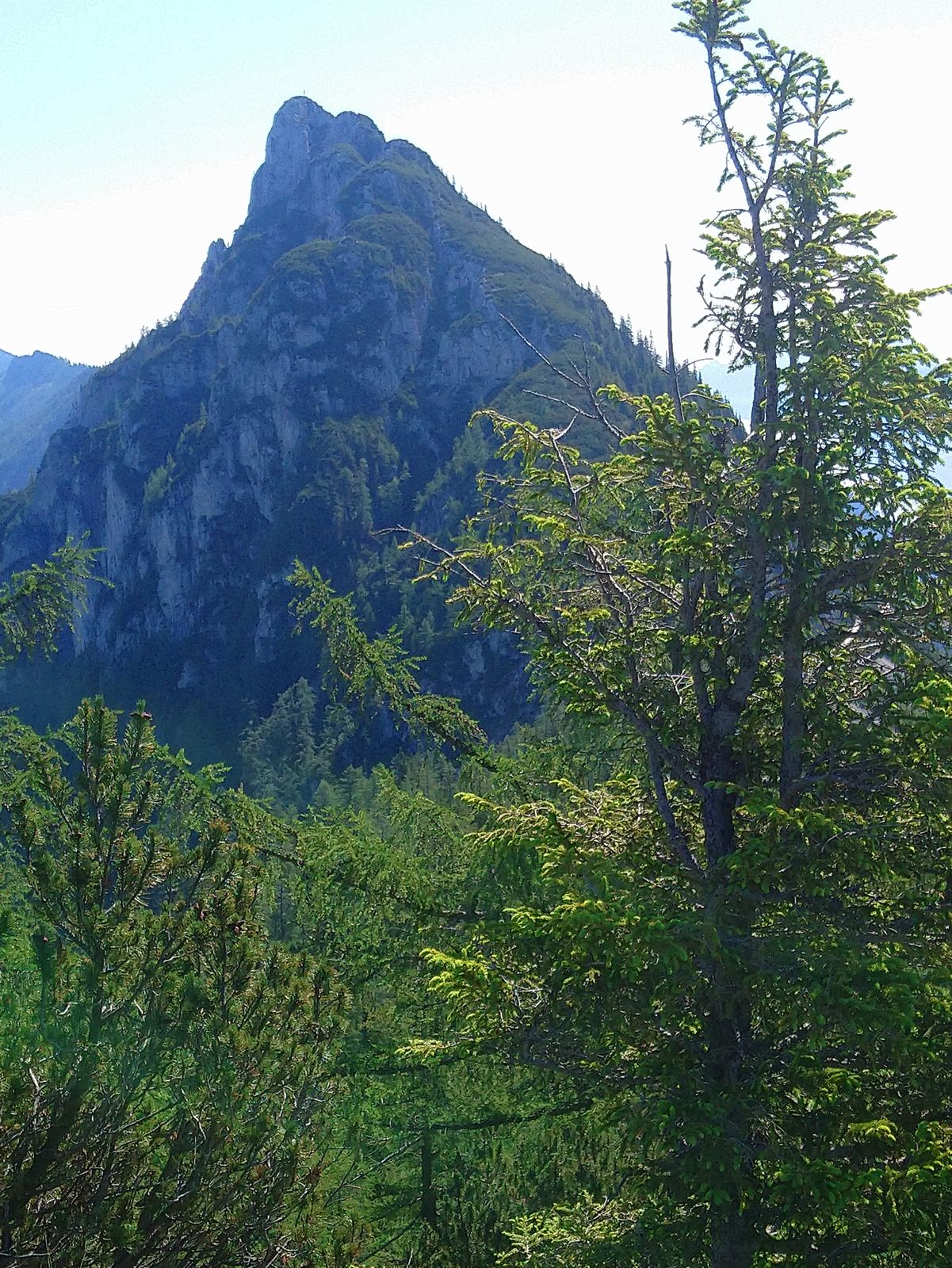
Roccia
Esposta
Altri tour nelle regioni


