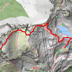
Dati percorsi
9,71km
836 - 1.290m
Distanz
571hm
441hm
L'ascesa
02:36h
 
Durata
Descrizione rapida

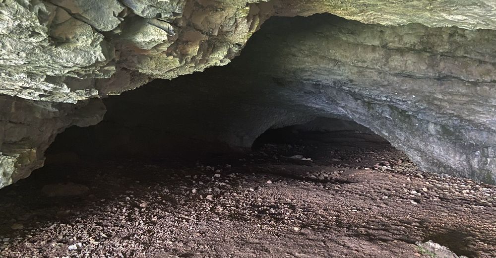
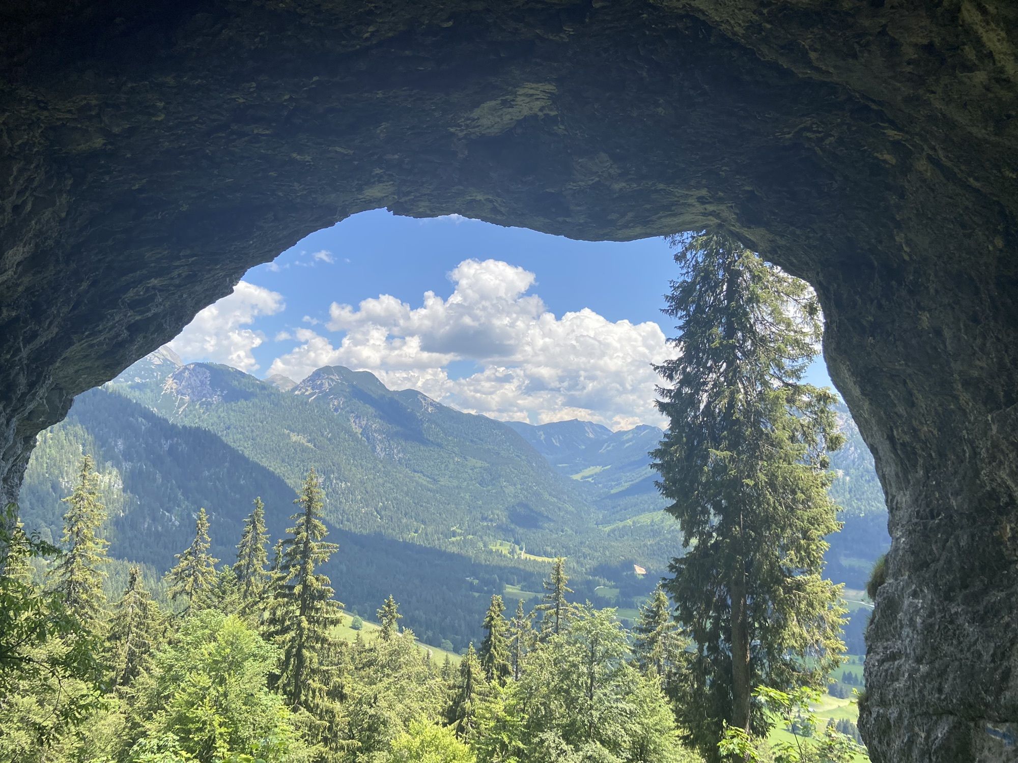
Gemütliche Wanderung

Difficoltà
facile
Valutazione
Tecnica
Forma fisica
Panorama
Avventura / Esperienza
Percorso
Furt
0,0 km
Furthberg
0,9 km
Mittelstation
5,7 km
Mittelstation
5,8 km
Tauplitz
8,7 km
Furt
9,6 km

Punto più alto
1.290 m

3,5
Valutazione complessiva

5

0

%

4

50

%

3

50

%

2

0

%

1

0

%

GPS Downloads
  • GPX GPS Exchange Format (XML)
  • KML Google Earth, Google Maps
Codici di download QR per telefoni cellulari
Altri tour nelle regioni

Tour popolari della zona

Loser: Loserfenster und Losergipfel

intermedio Escursionismo
2,48km | 266hm | 01:30h

Hinterstoder - Großer Priel

difficile Escursionismo
10,69km | 1993hm | 09:30h

Dolomitensteig

difficile Escursionismo
9,29km | 718hm | 05:00h

Schneiderberg im Almtal

intermedio Escursionismo
7,97km | 569hm | 02:49h