


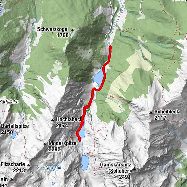
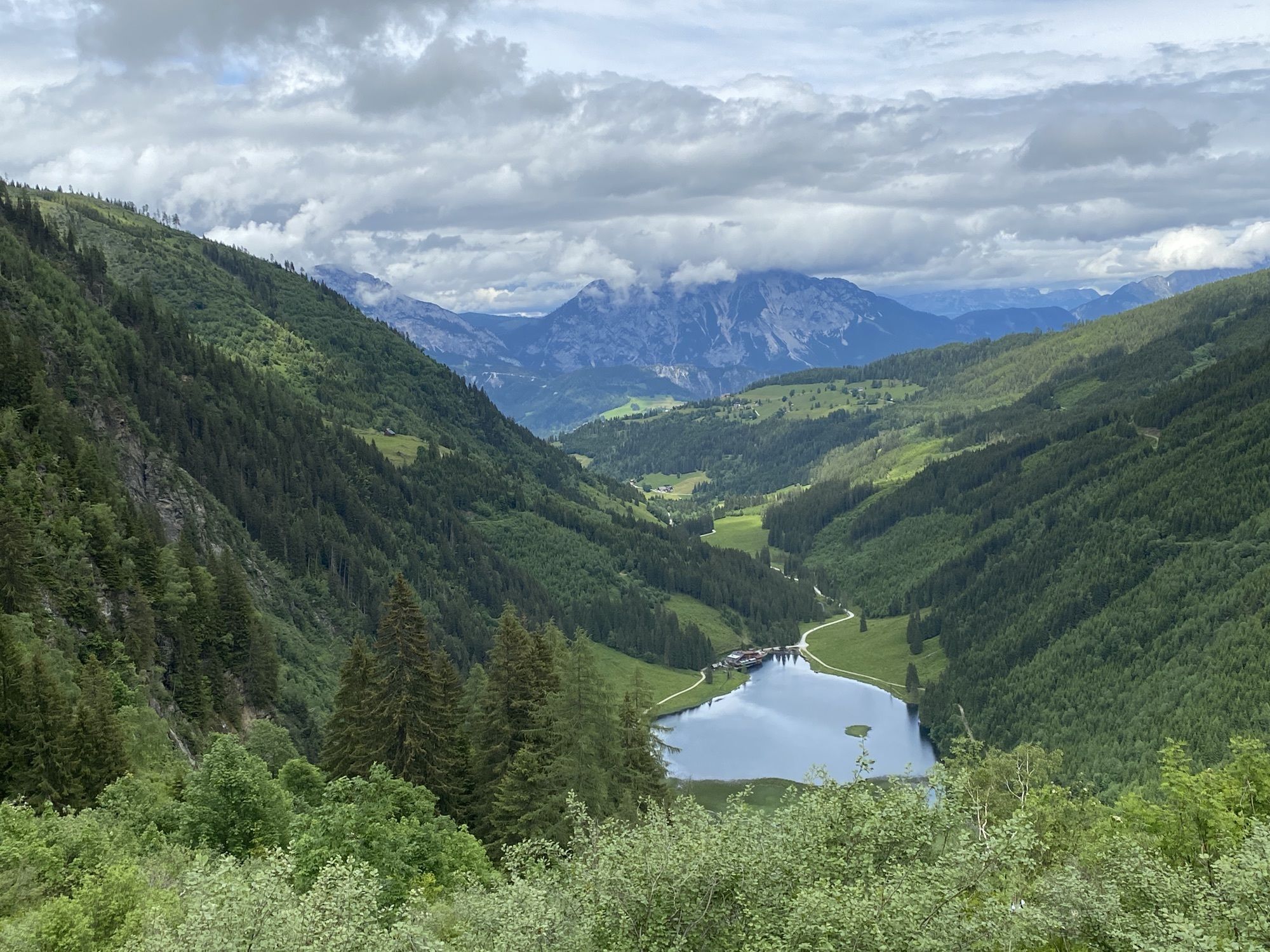
Dati percorsi
5,45km
1.151
- 1.529m
362hm
419hm
02:07h
- Descrizione rapida
-
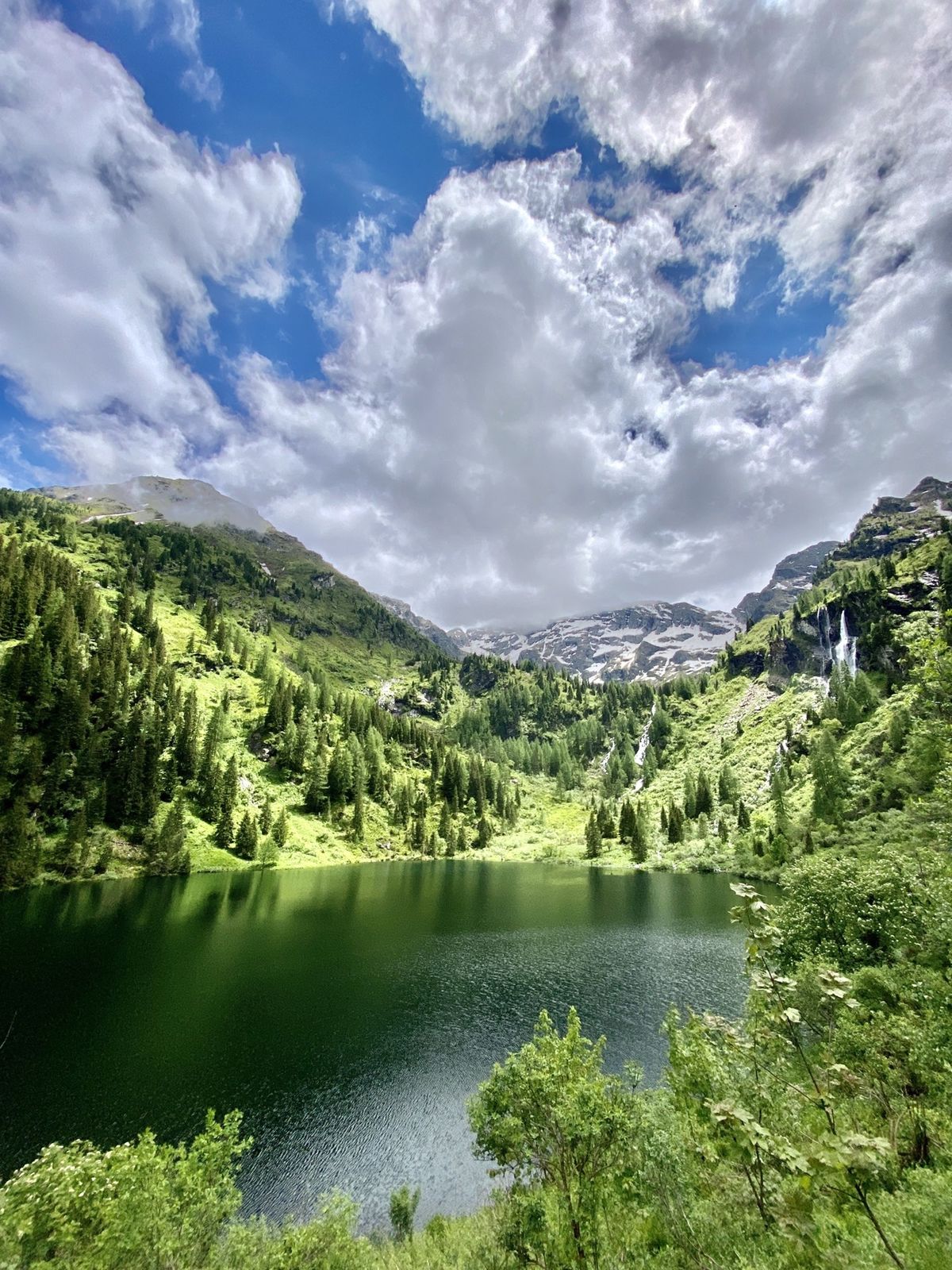
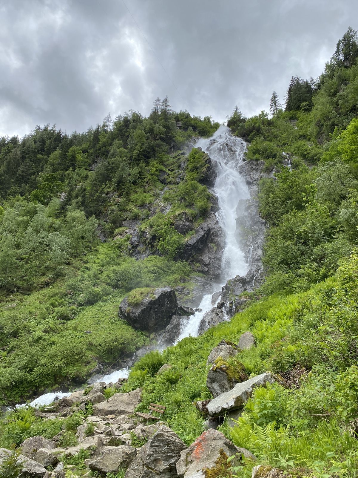
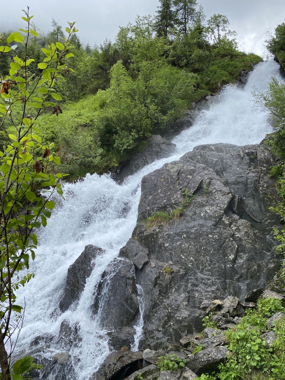
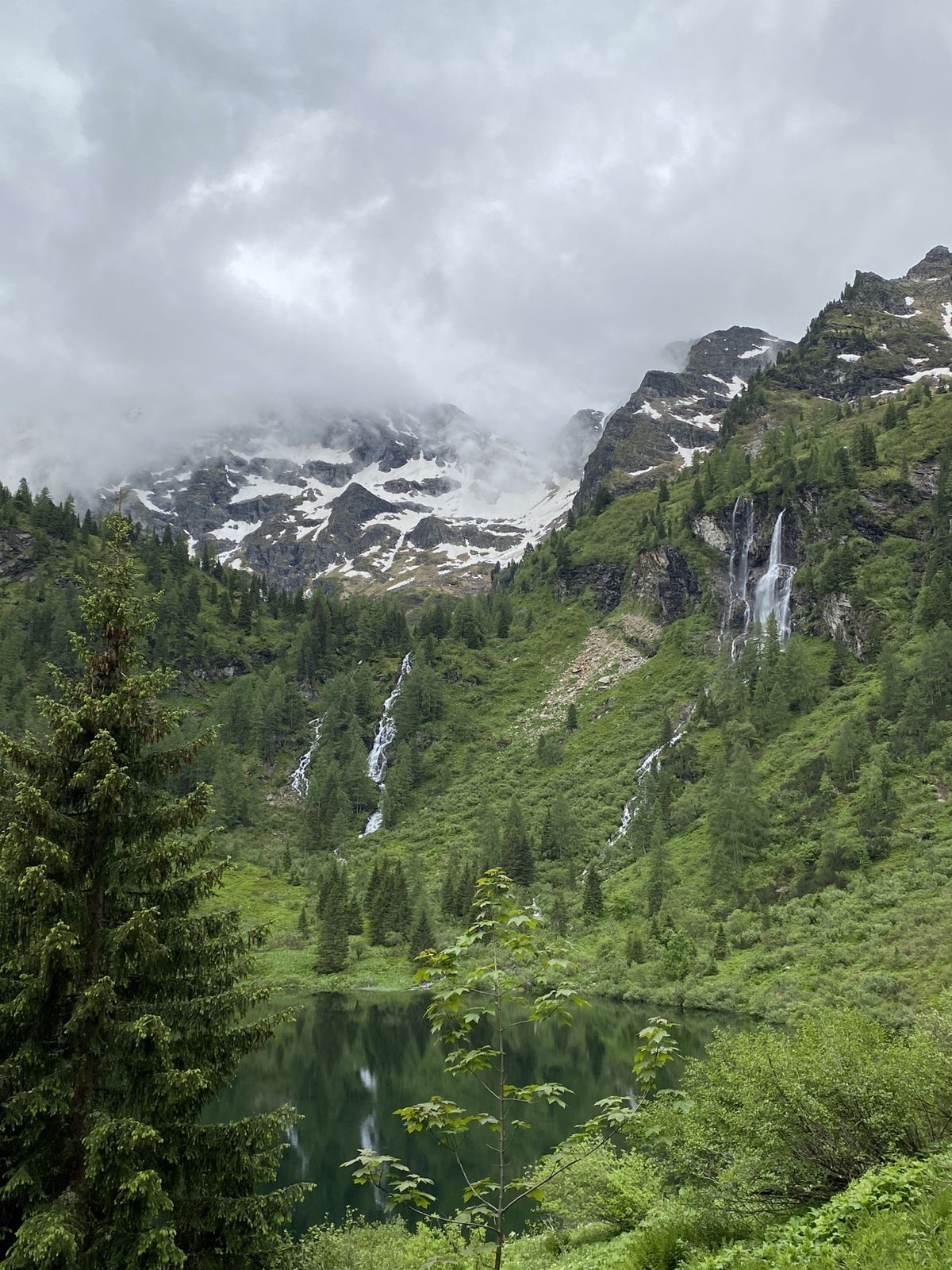
Vom steirischen Bodensee hinauf
- Difficoltà
-
intermedio
- Valutazione
-
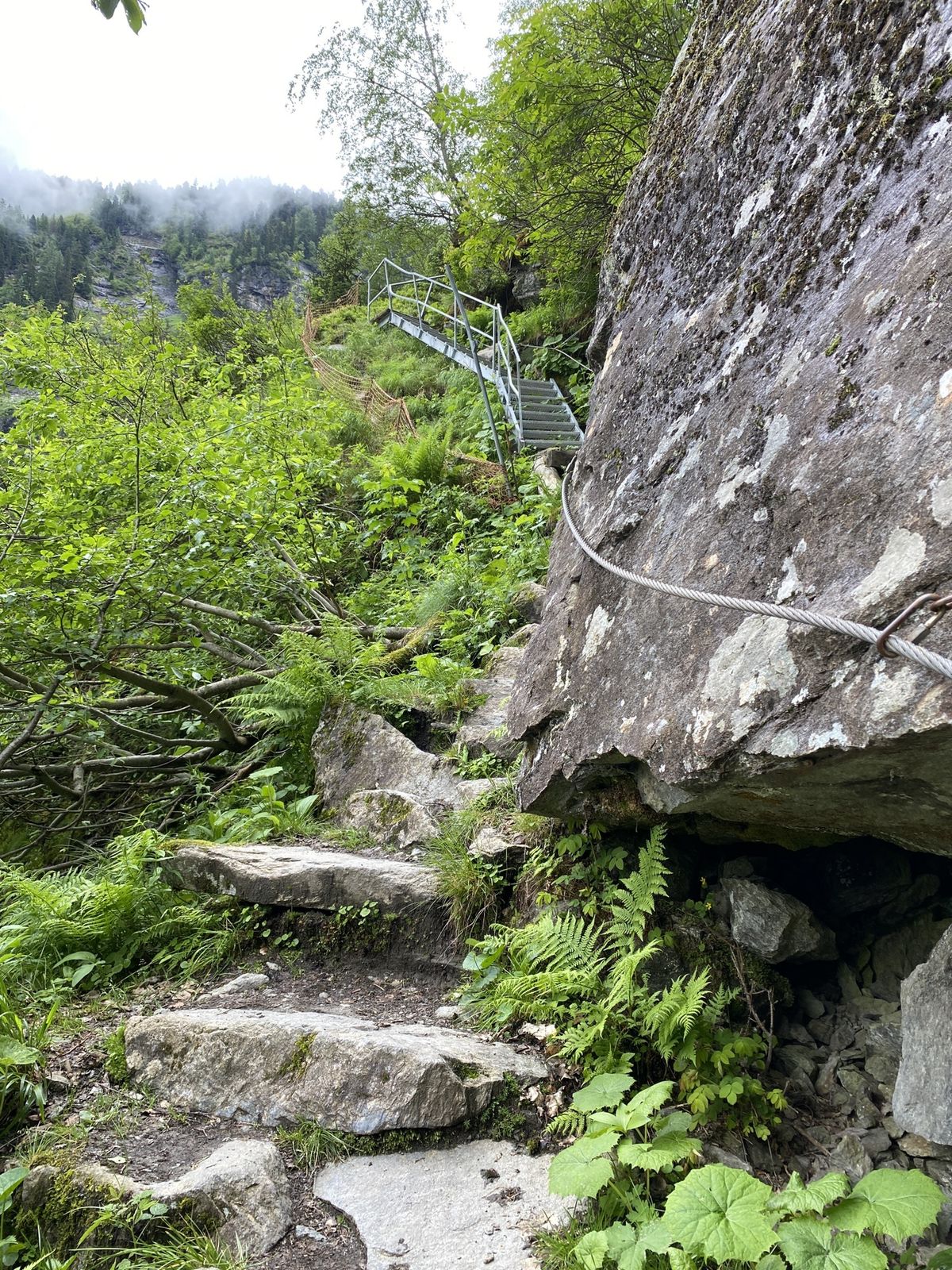
- Percorso
-
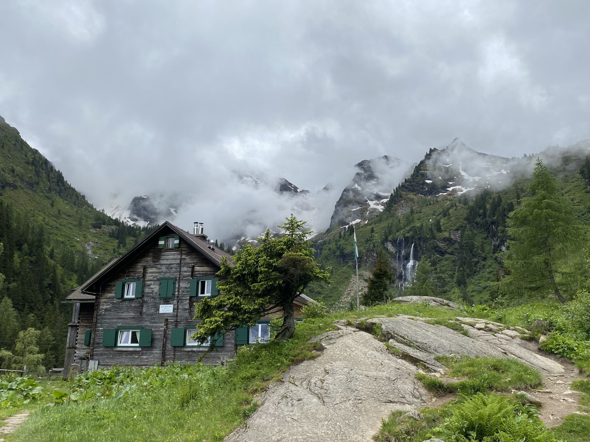
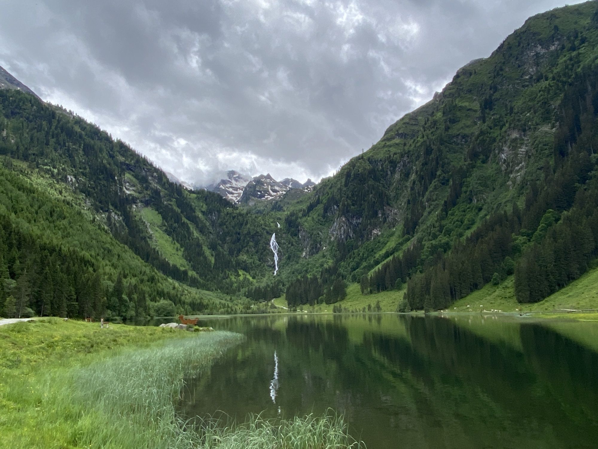
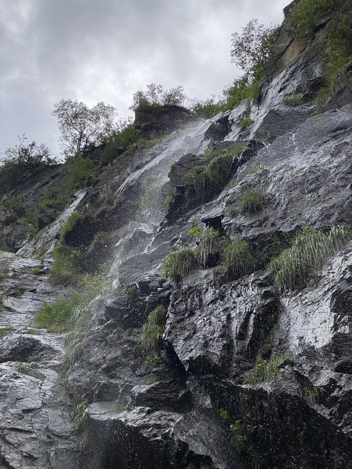
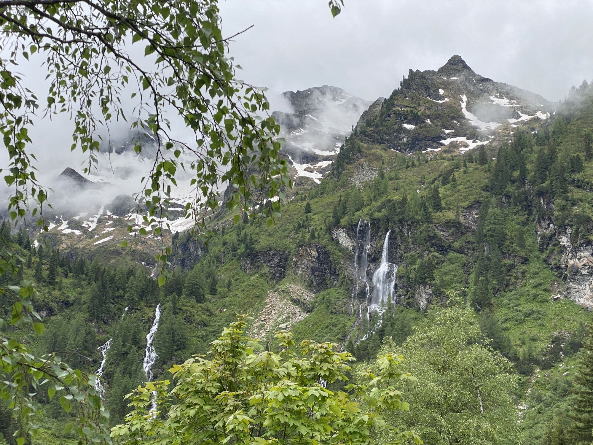
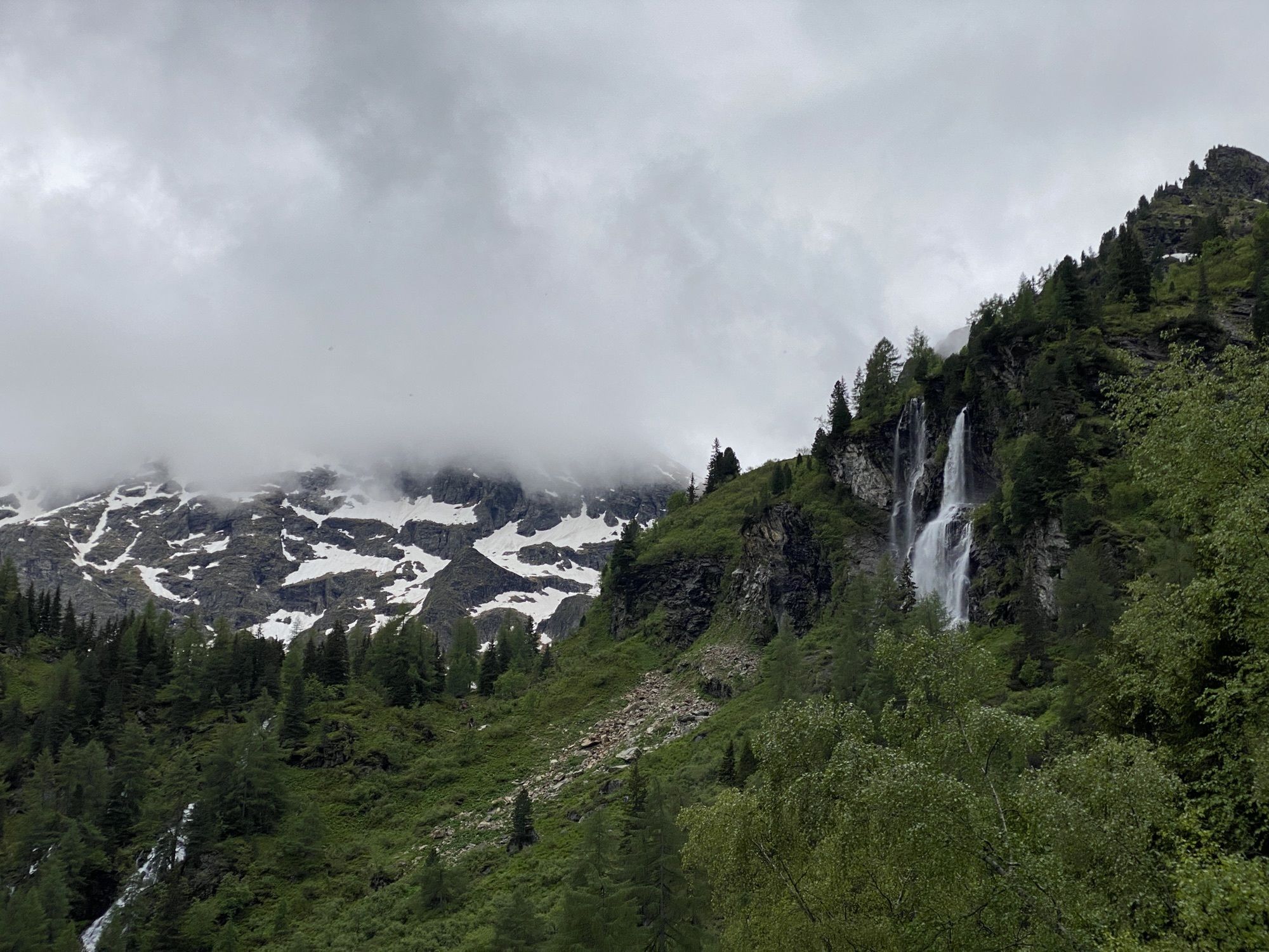
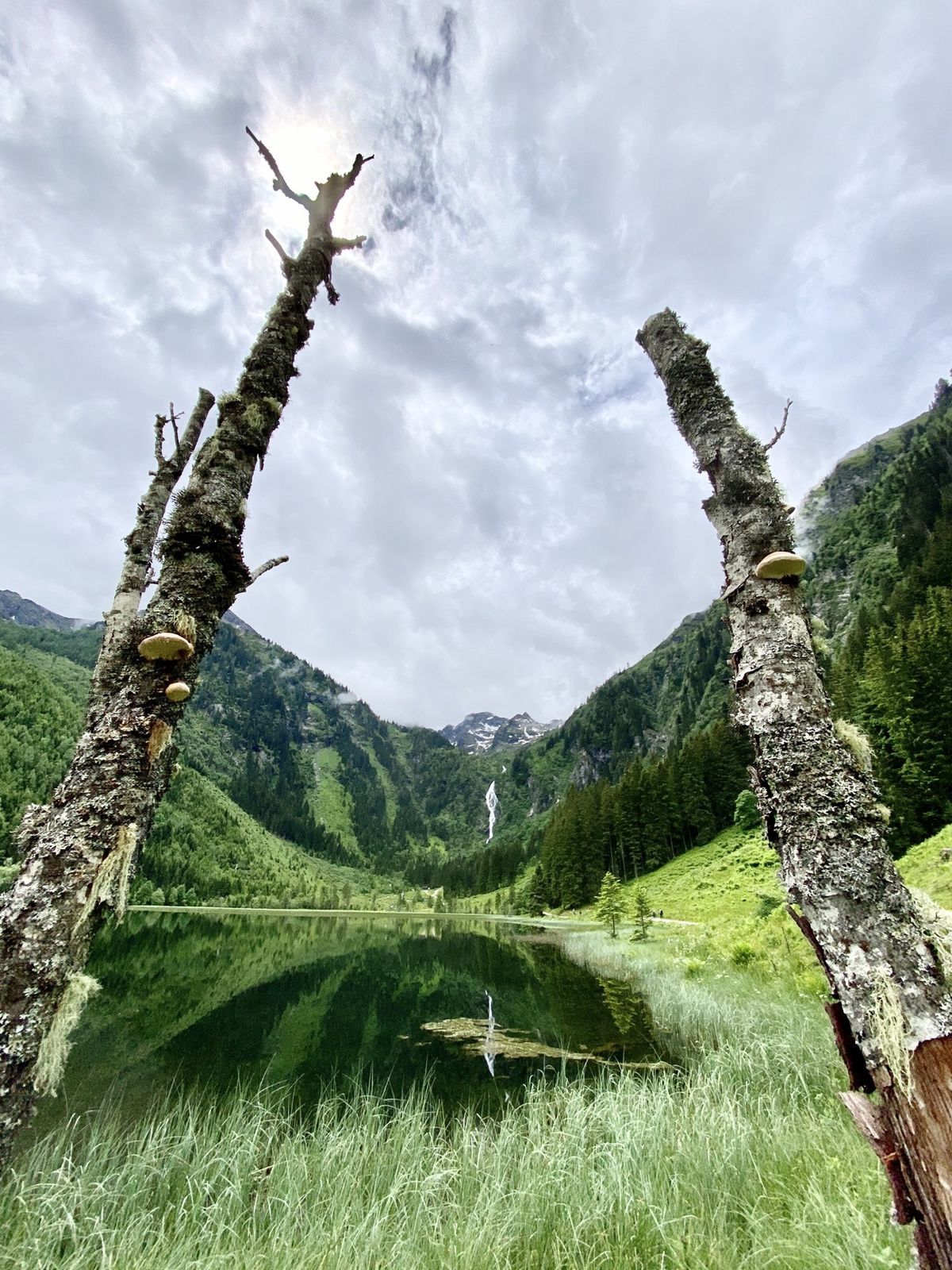
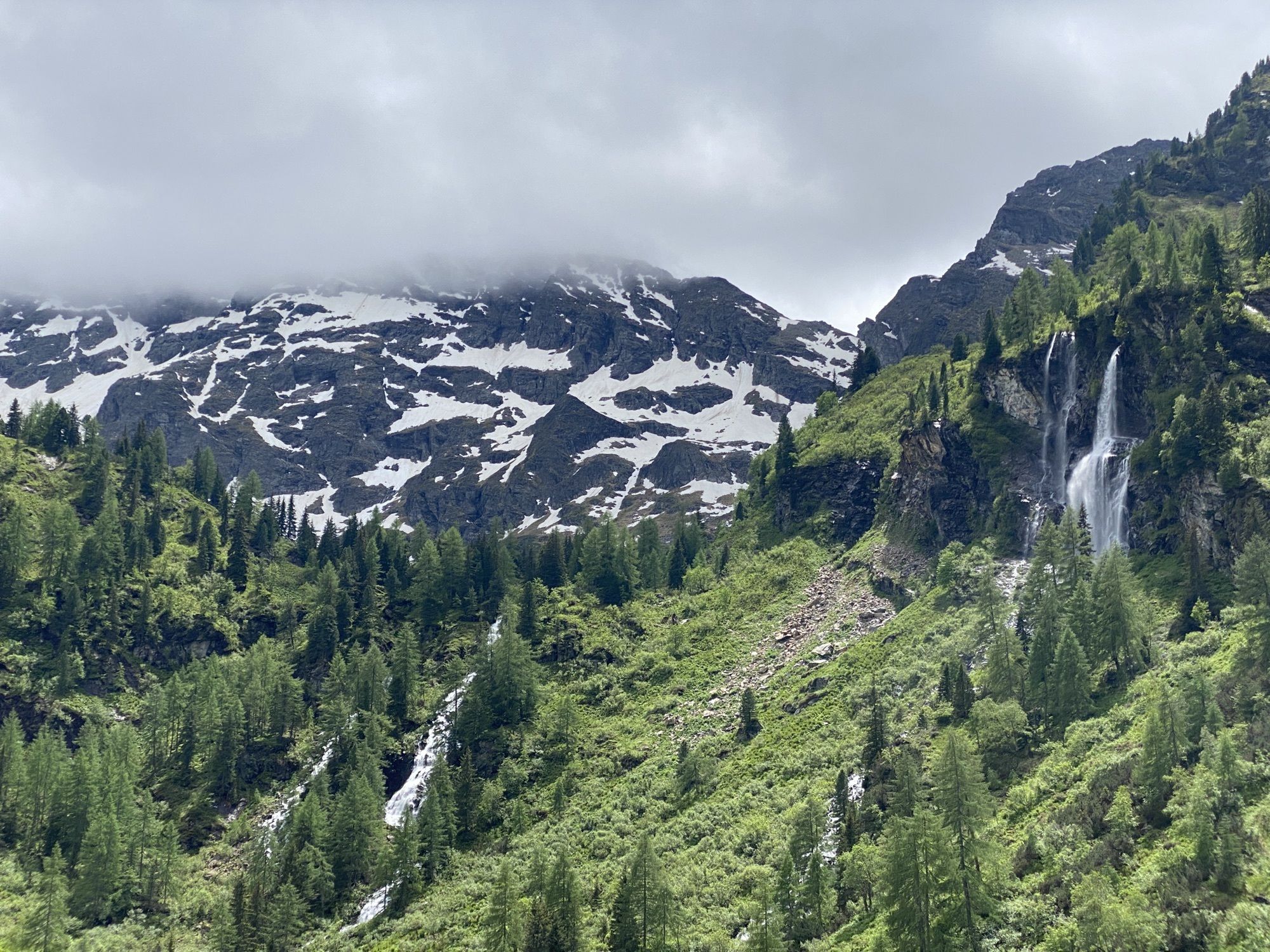
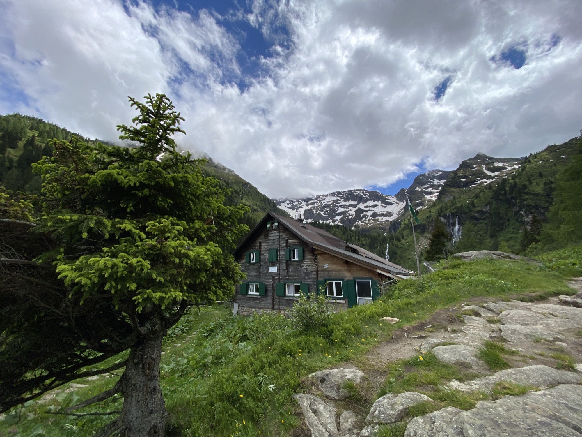
Bodenseewasserfall0,4 kmHans-Wödl Hütte (1.533 m)1,1 km
- La stagione migliore
-
genfebmaraprmaggiulugagosetottnovdic
- Punto più alto
- 1.529 m


GPS Downloads


Altri tour nelle regioni
-
Schladming - Dachstein
3001
-
Haus - Aich
1364
-
Aich
275


