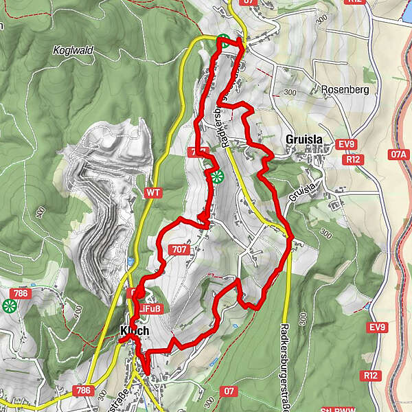
Dati percorsi
7,29km
273
- 401m
224hm
233hm
02:11h
- Descrizione rapida
-
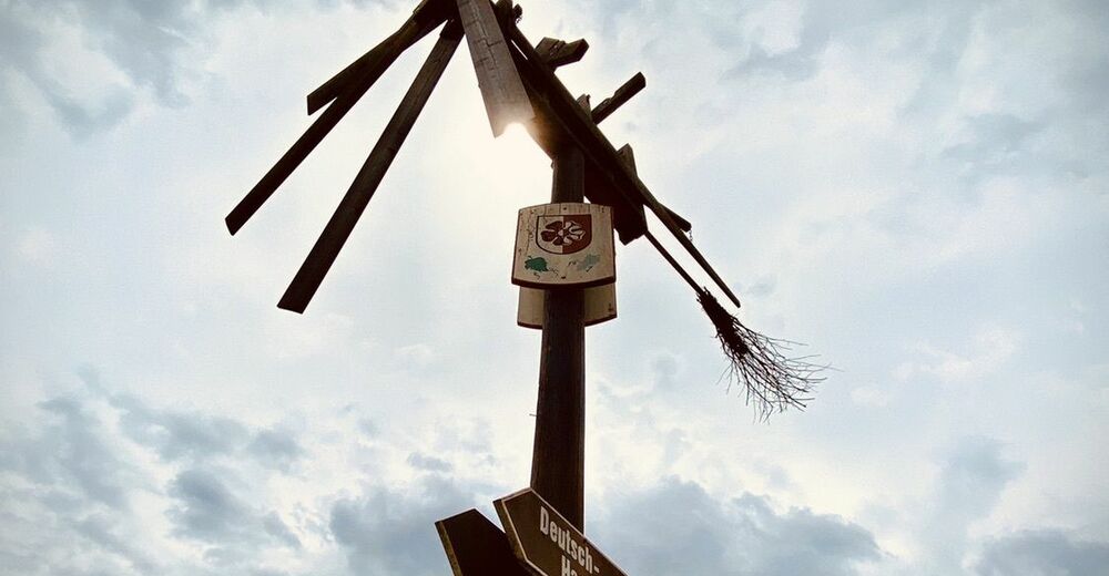
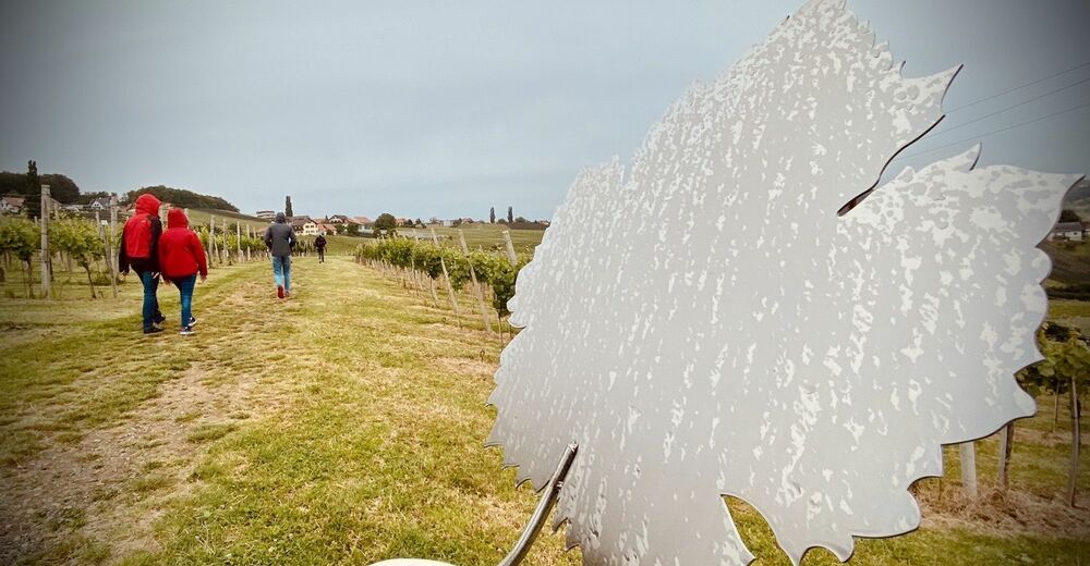
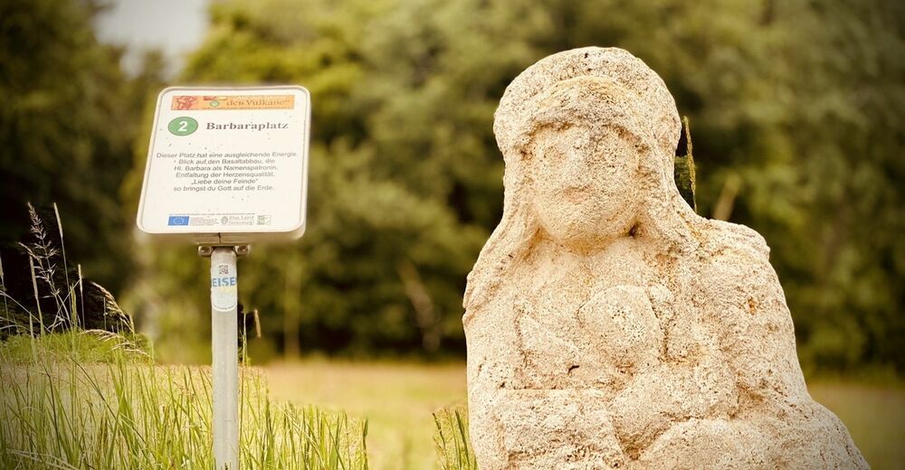
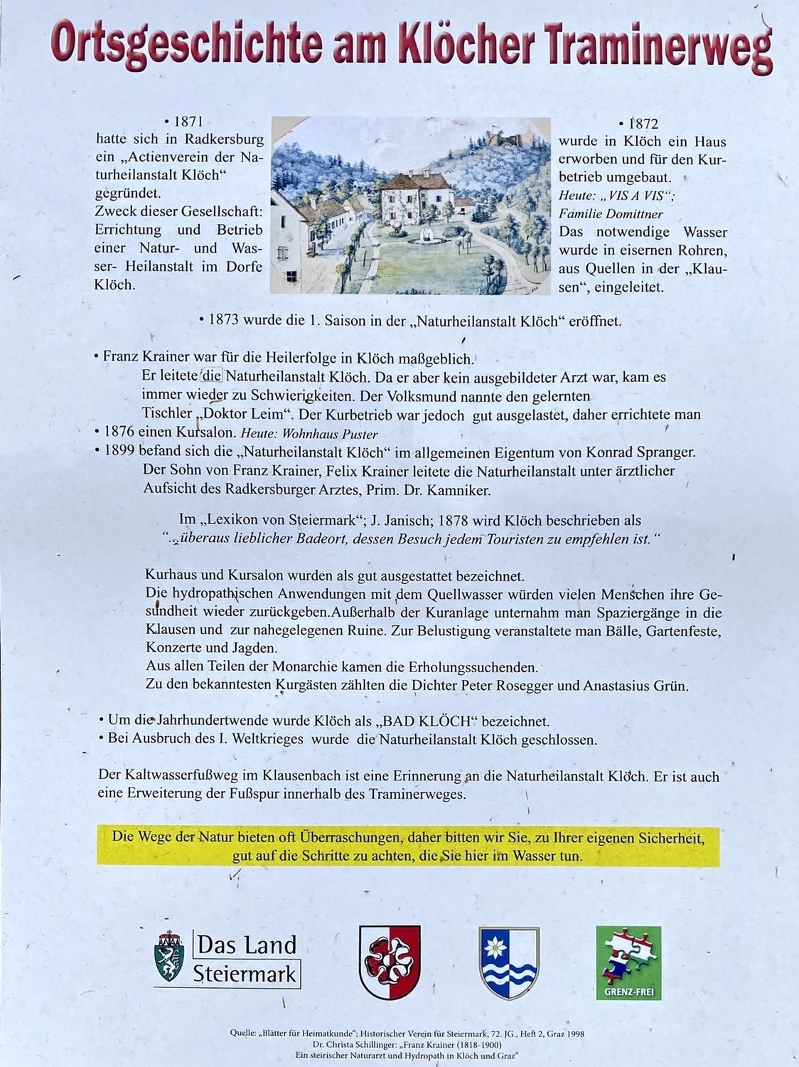
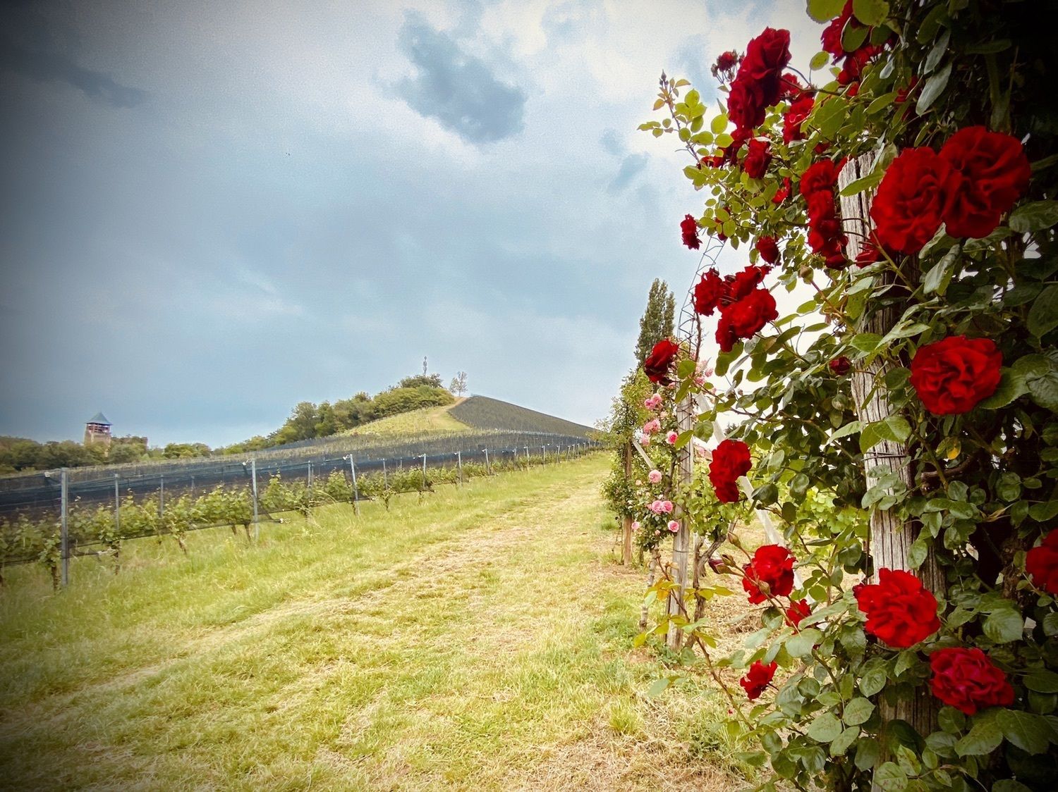
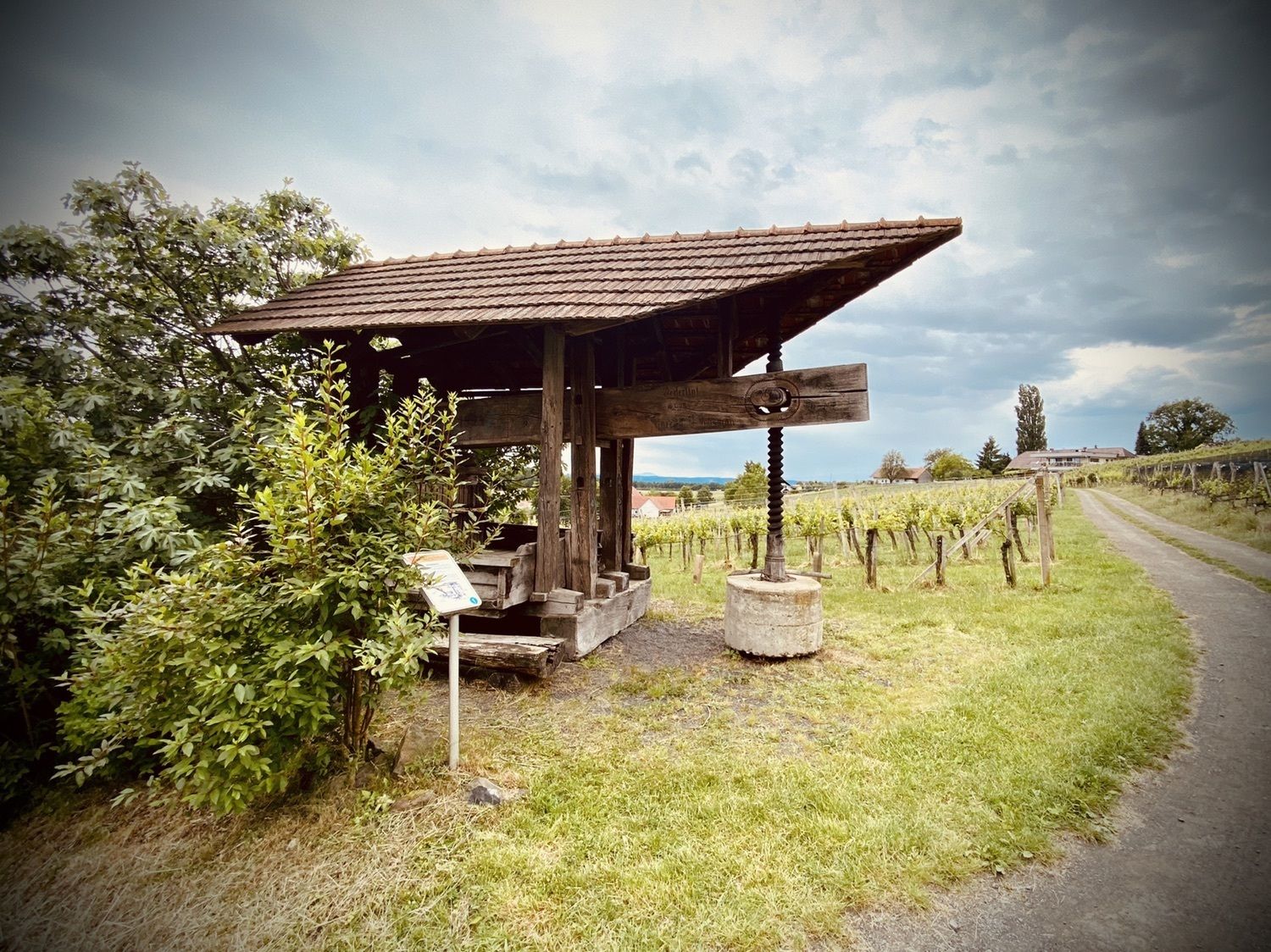
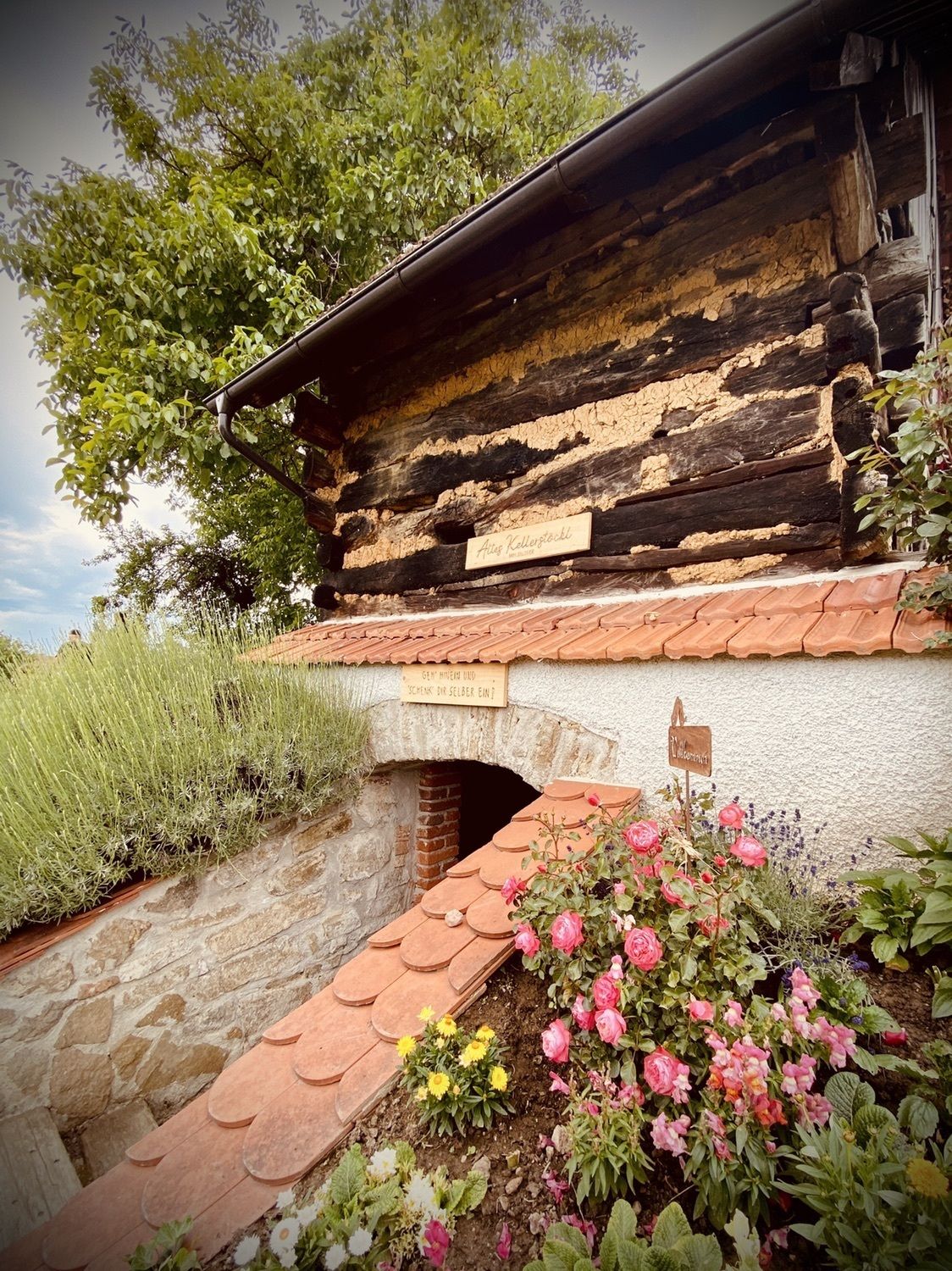
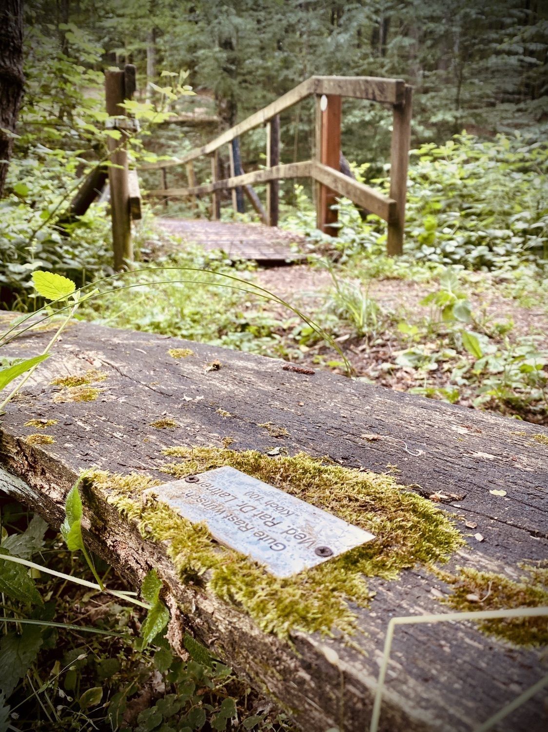
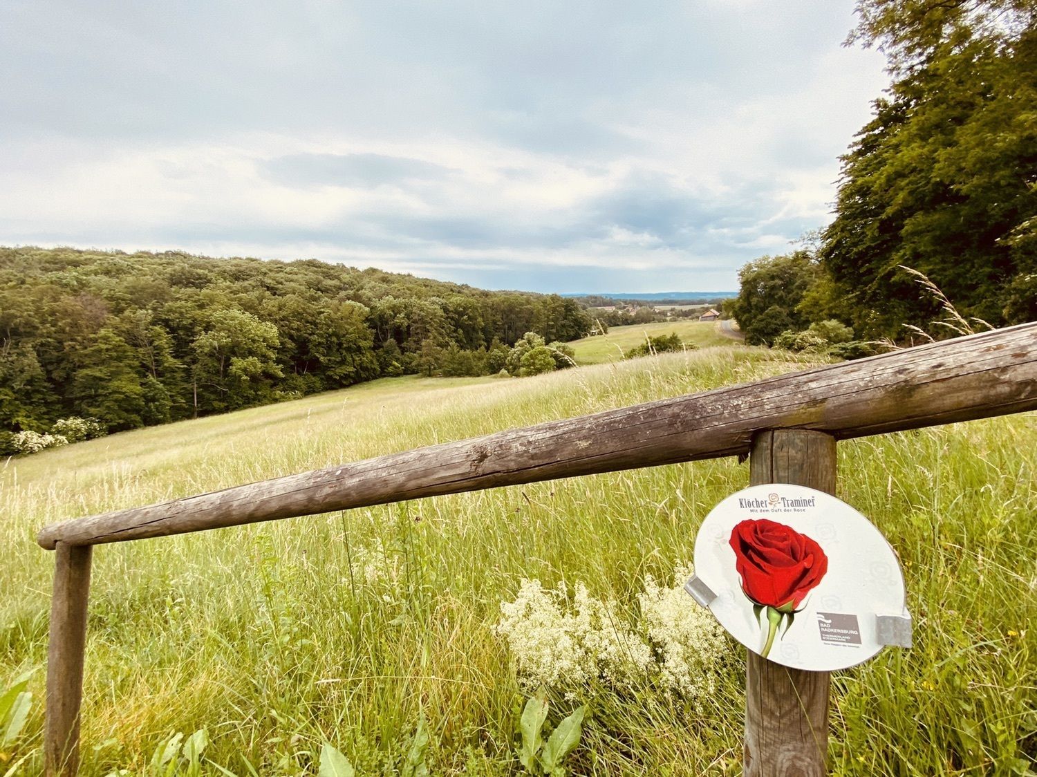
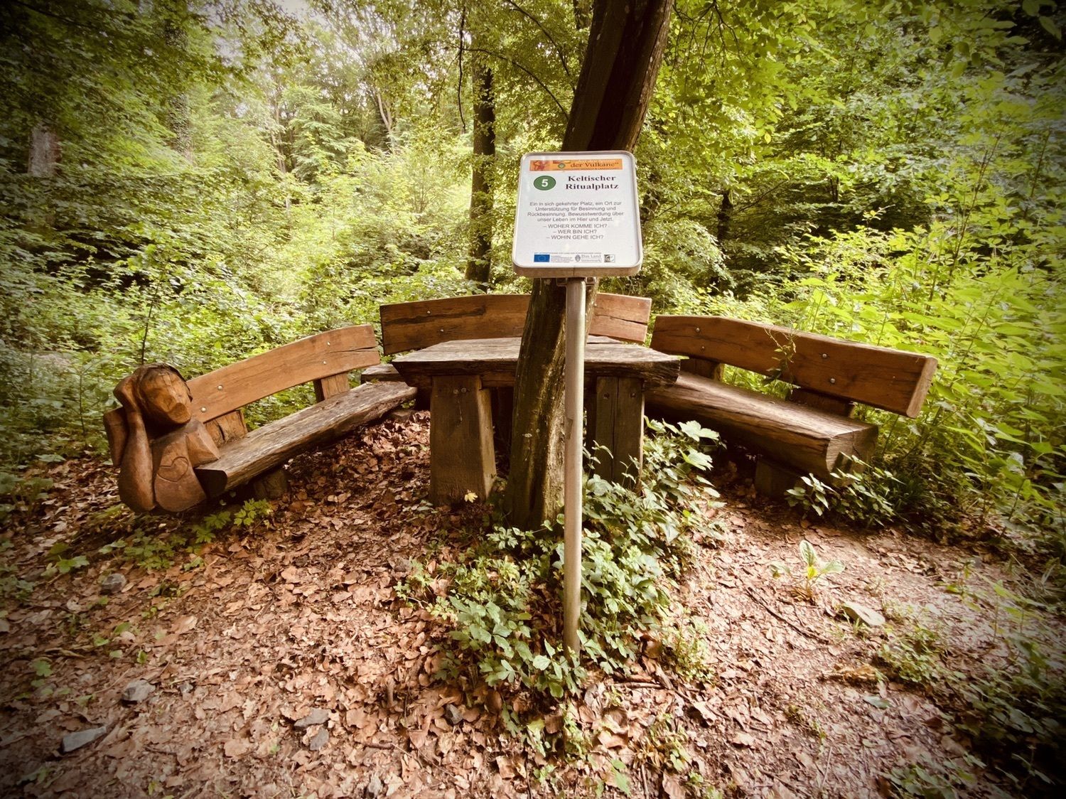
nett gemacht mit vielen stationen und onformationen. kellerstöckln mit getränken
- Difficoltà
-
facile
- Valutazione
-
- Percorso
-
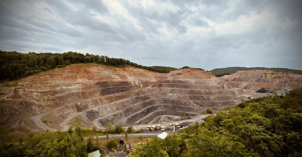
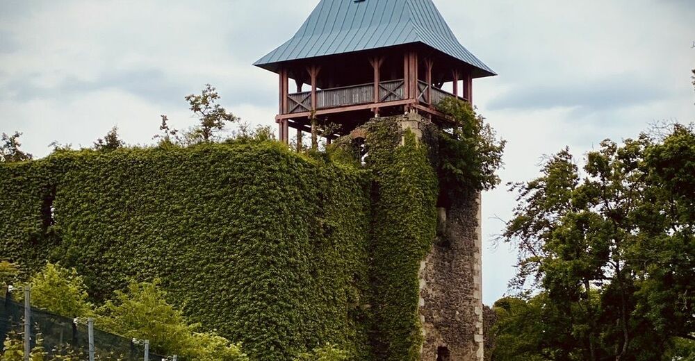
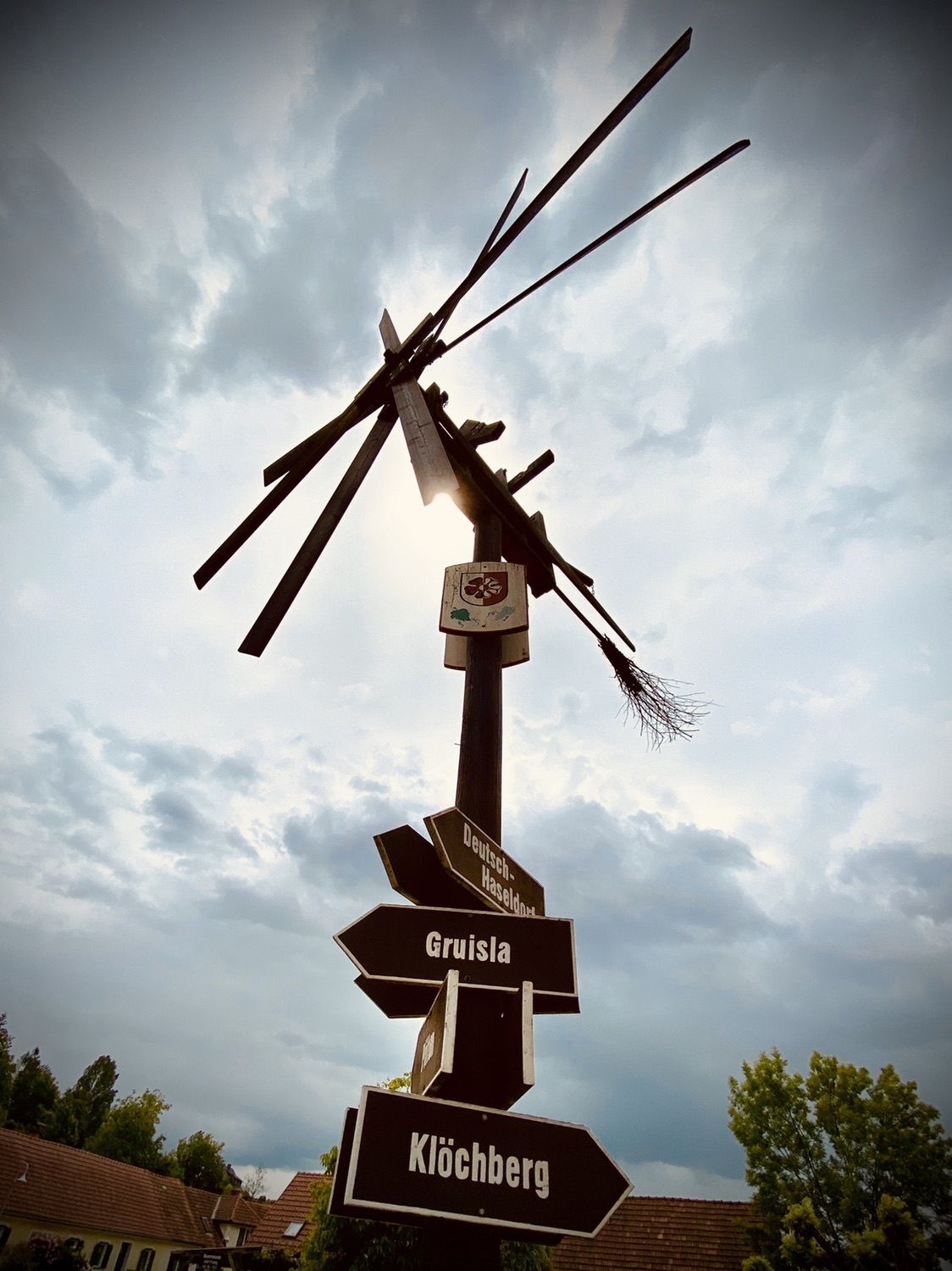
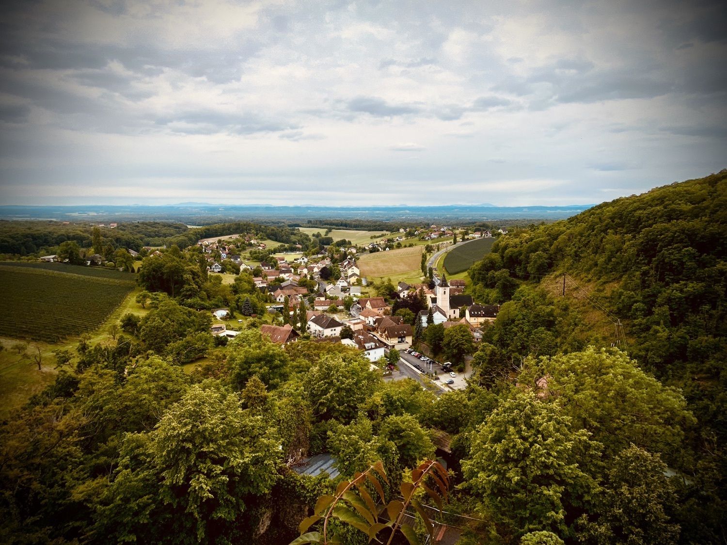
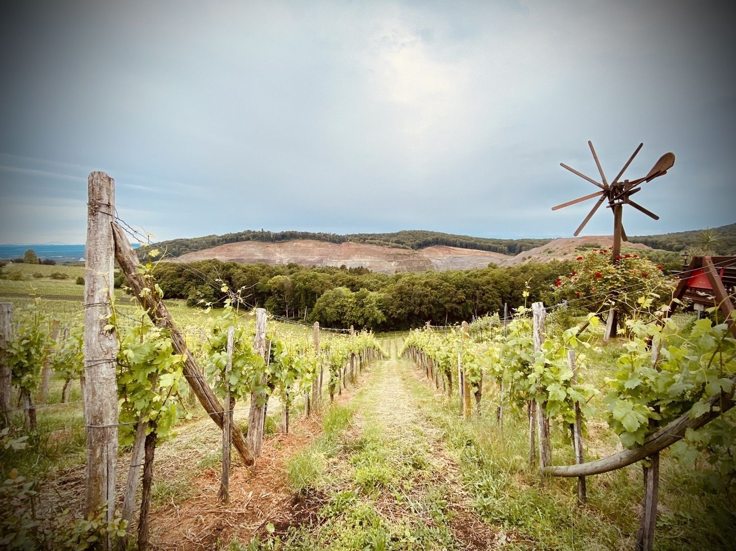
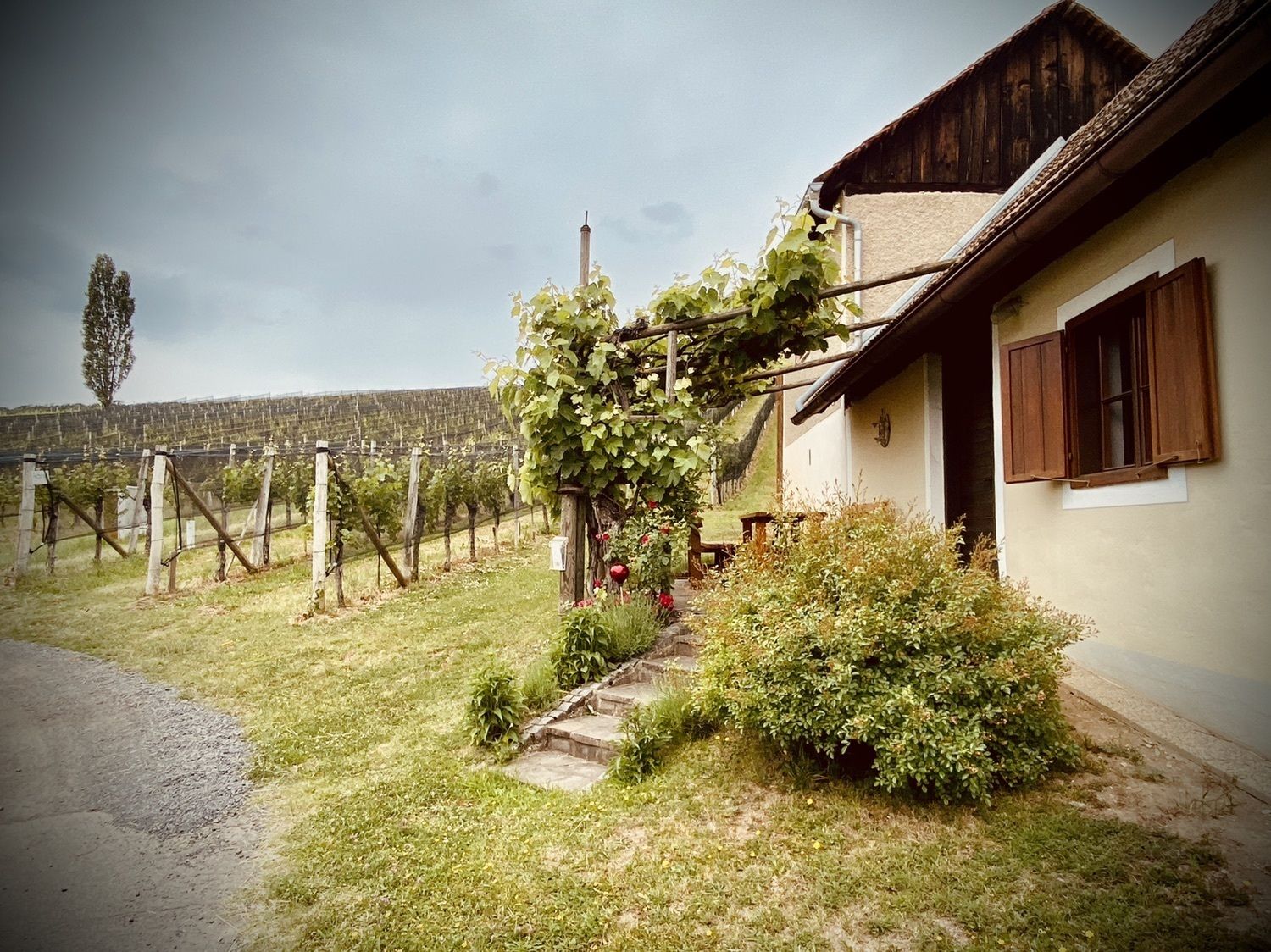
Klöch0,2 kmÖlberg1,1 kmKlinzl2,4 kmGruisla2,9 kmBuschenschank Frühwirth3,9 kmGasthof Weinlandhof4,0 kmDeutsch Haseldorf4,1 kmKratzer4,5 kmHochwarth5,4 kmBuschenschank Gießauf-Nell5,9 kmRestaurant Klöcherhof7,2 kmKlöch7,2 km
- Punto più alto
- 401 m


GPS Downloads


Altri tour nelle regioni
-
Oststeiermark
2126
-
Region Bad Radkersburg
217
-
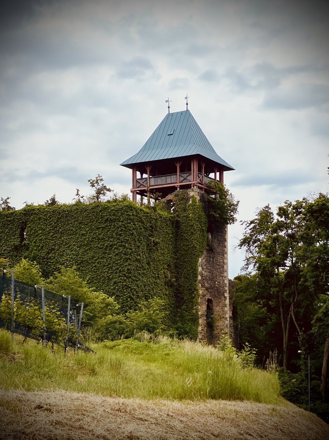
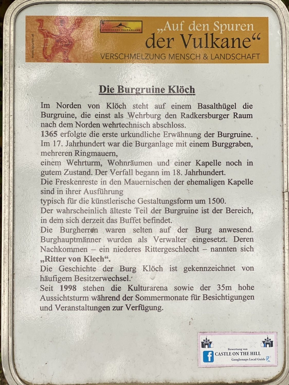
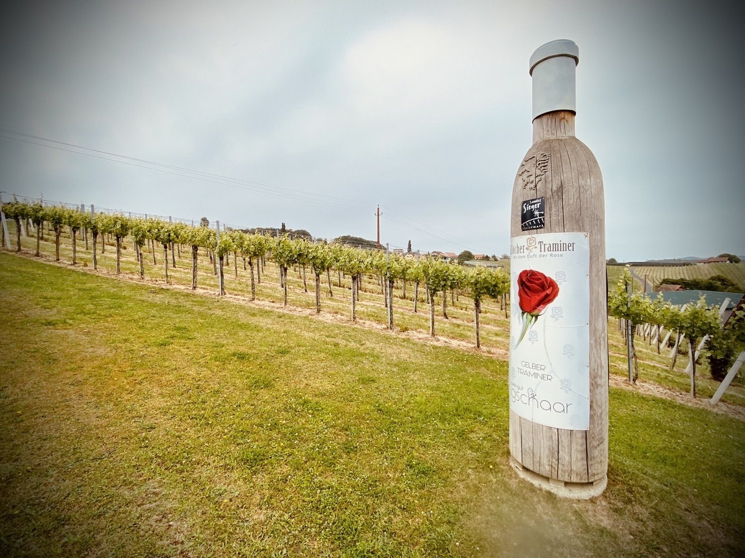
Klöch
83