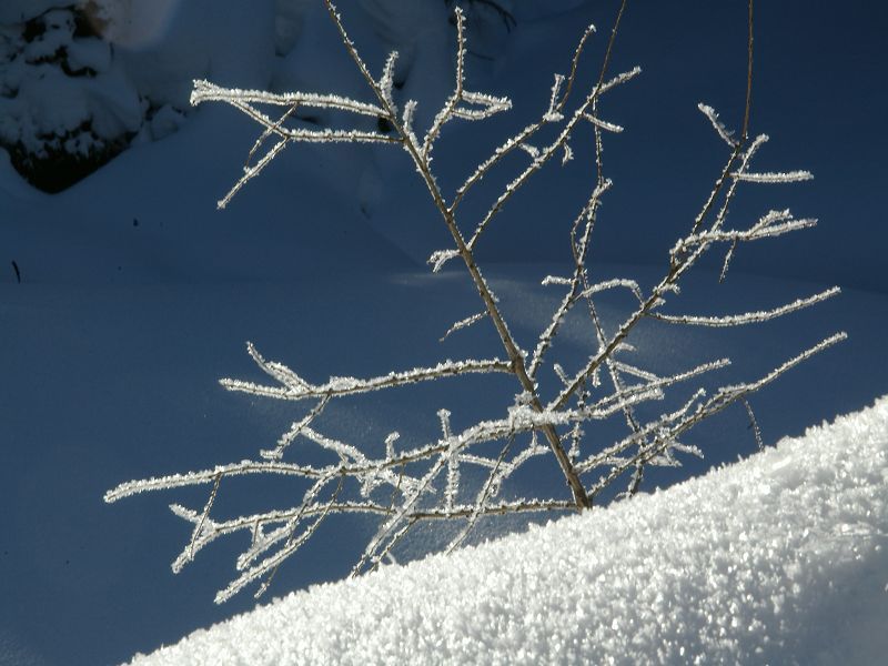
© Tourismusverband Pölstal - Bianca Kogler
© Tourismusverband Pölstal - Bianca Kogler
© Tourismusverband Pölstal - Bianca Kogler
© Tourismusverband Pölstal - Bianca Kogler
© Tourismusverband Pölstal - Bianca Kogler
Dati percorsi
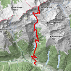
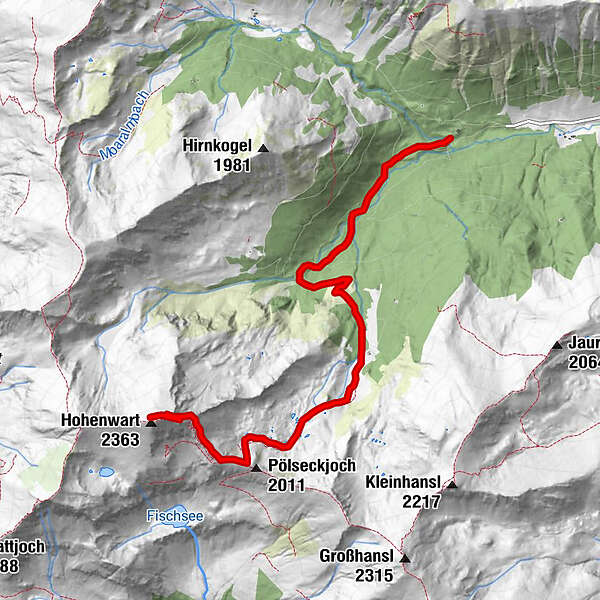
6,48km
1.326
- 2.333m
999hm
03:00h
- Descrizione rapida
-
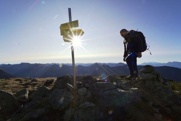
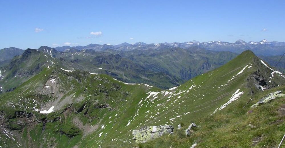
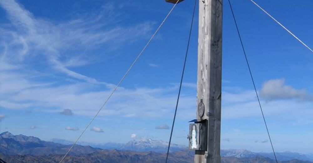
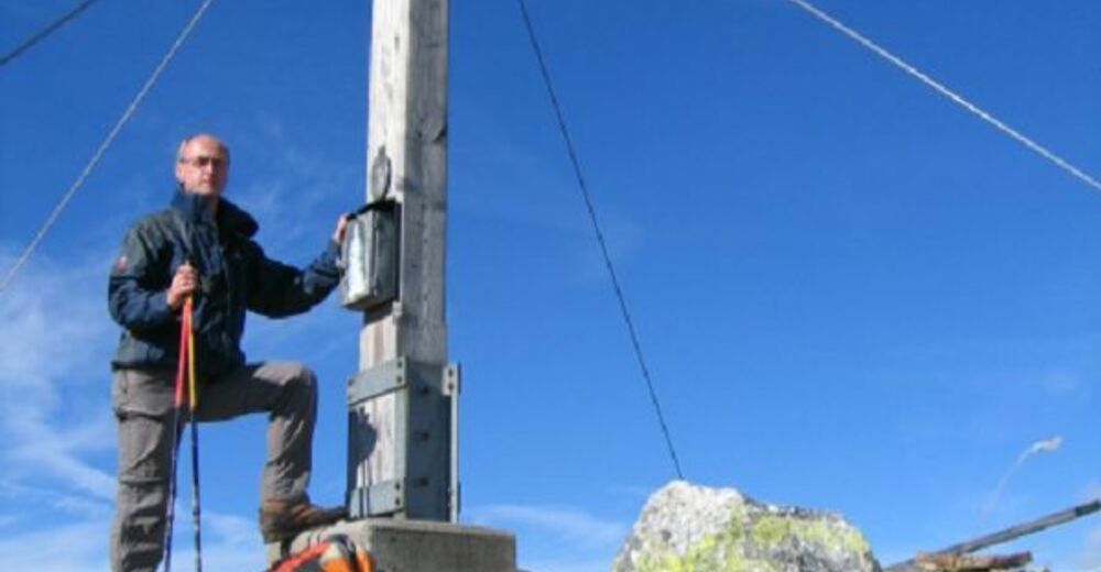
Bergwanderung
- Valutazione
-
- Punto di partenza
-
Parkplatz Hainzl
- Percorso
-
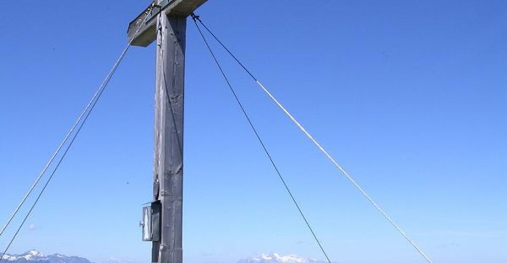
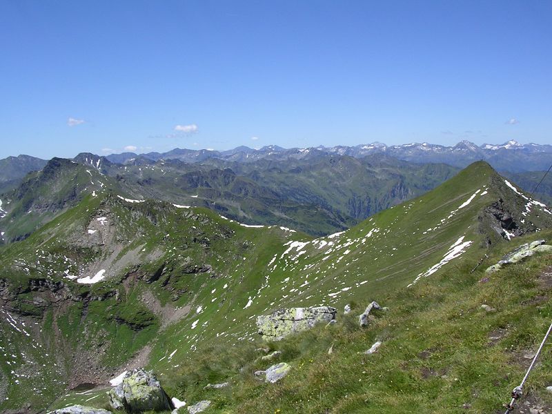
Pölseckjoch (2.011 m)5,1 kmHohenwart (2.363 m)6,4 km
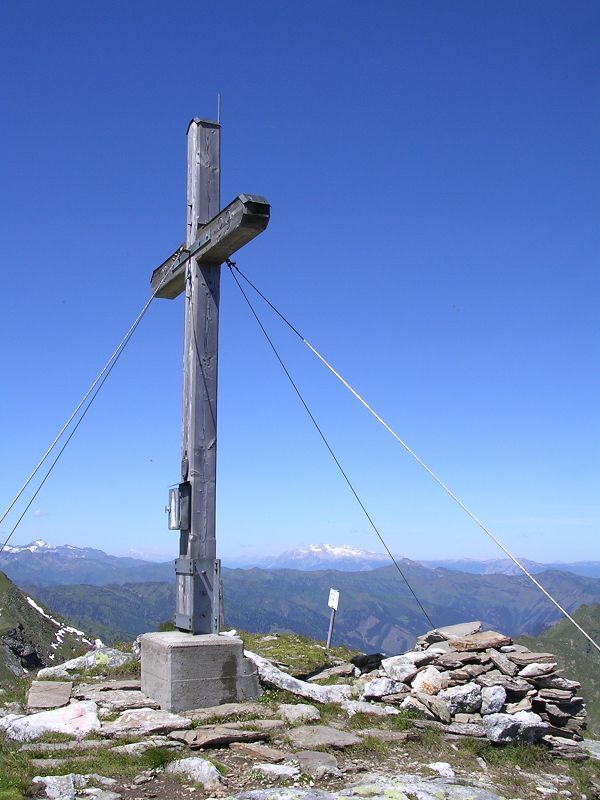
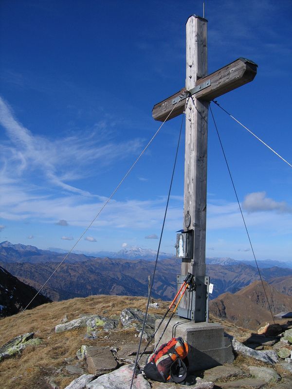
- Punto più alto
- 2.333 m
- Cartine
-
Tourismusverband Pölstal, Gemeindeamt Pusterwald,
GPS Downloads


Condizioni dei sentieri
Asfalto
Ghiaia
Prato
Foresta
Roccia
Esposta
Altri tour nelle regioni