© Tourismusverband Region Murau - Jasmin Schmidt

© Tourismusverband Region Murau - Jasmin Schmidt


- Descrizione rapida
-
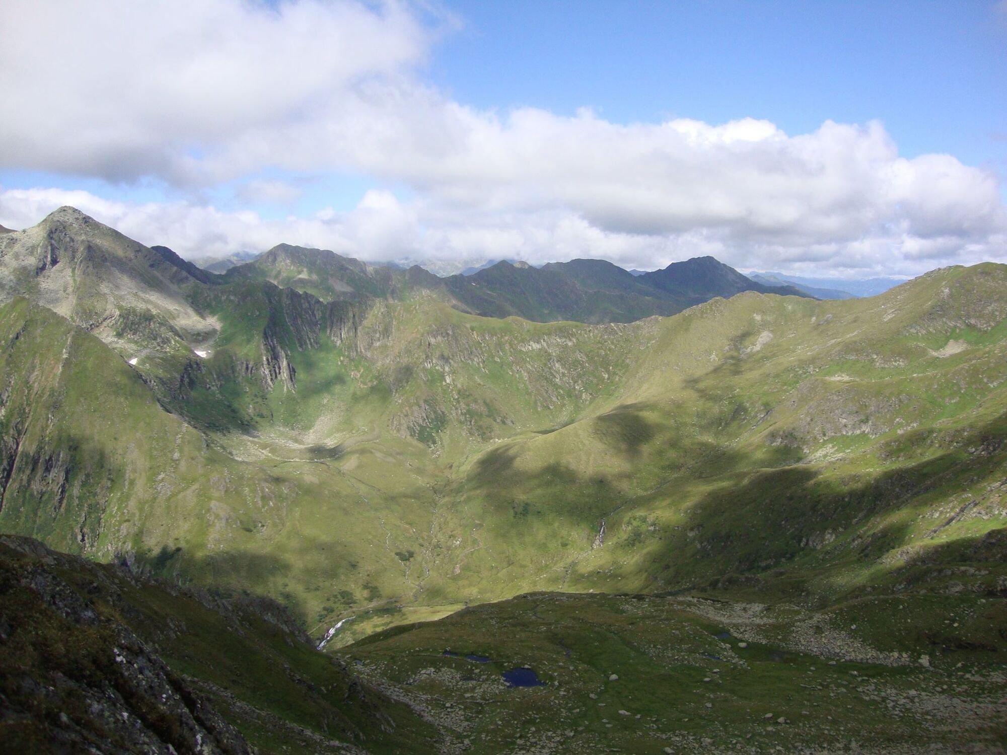
Very scenic tour with partly steep passages. A certain level of surefootedness is therefore required!
- Difficoltà
-
difficile
- Valutazione
-
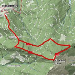
- Percorso
-
Eselsbachfall0,4 kmSchoberspitze (2.423 m)3,1 km
- La stagione migliore
-
genfebmaraprmaggiulugagosetottnovdic
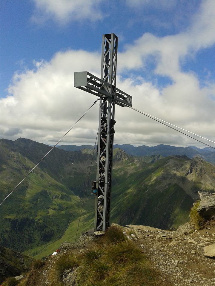
- Punto più alto
- 2.366 m
- Destinazione
-
Schoberspitze
- Profilo altimetrico
-

- Autore
-
Il tour Schoberspitze in the Eselsberggraben è utilizzato da outdooractive.com fornito.
GPS Downloads


Info generali
Punto di ristoro
Promettente
Altri tour nelle regioni