Dati percorsi
8,1km
1.105
- 2.281m
1.157hm
06:00h
- Valutazione
-
- Punto di partenza
-
GH Bruckenhauser
- Percorso
-
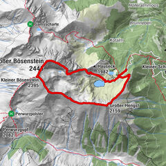
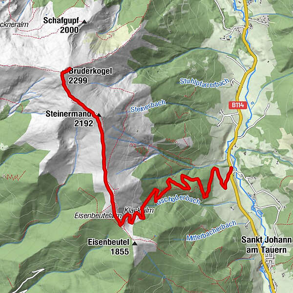
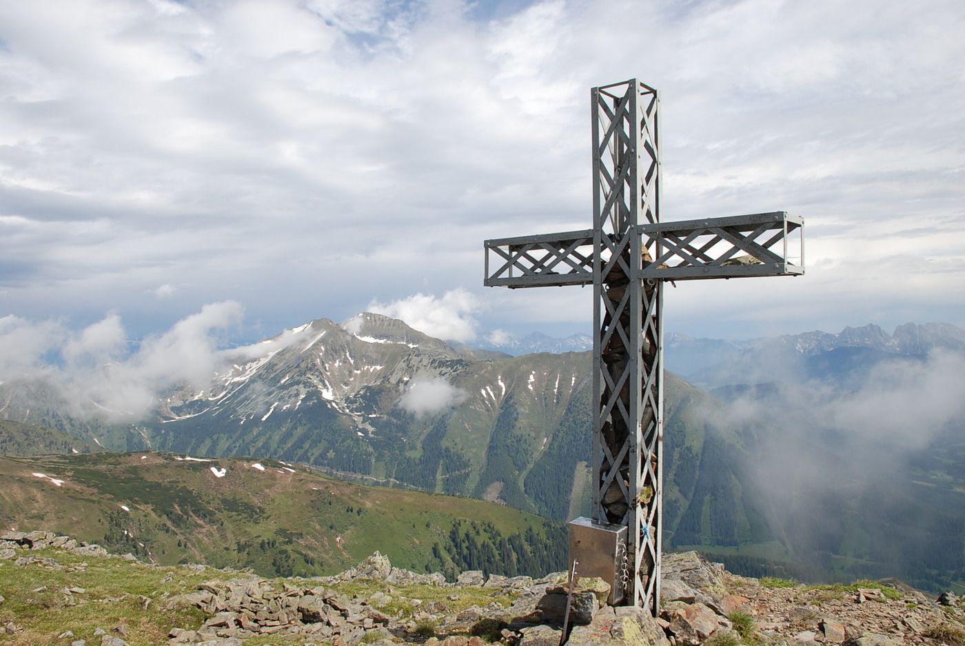
Klacklalm3,0 kmKlacklalm3,8 kmSteinermandl (2.192 m)6,8 kmKorbachkogel (2.255 m)7,3 kmBruderkogel (2.299 m)7,9 km
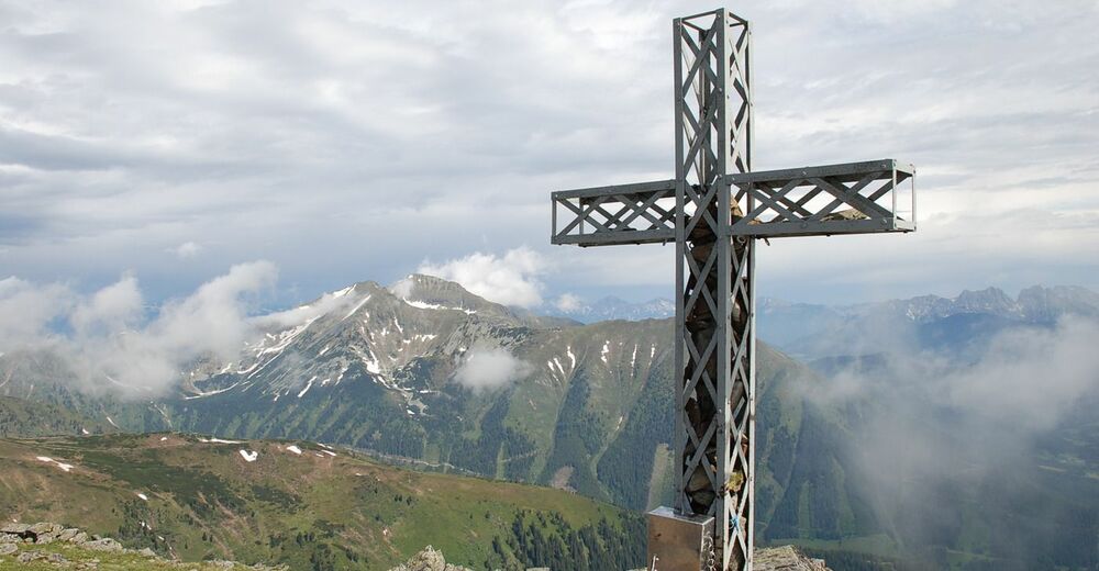
- Punto più alto
- 2.281 m
- Riposo/Ritiro
-
GH Bruckenhauser
- Cartine
-
Tourismusverband Pölstal, Gemeindeamt St. Johann am Tauern, Kauf und Treff St. Johann am Tauern
GPS Downloads


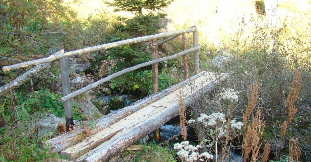
Condizioni dei sentieri
Asfalto
Ghiaia
Prato
Foresta
Roccia
Esposta
Altri tour nelle regioni
-
Gesäuse
2224
-
Grimming - Donnersbachtal
976
-
Hohentauern
212