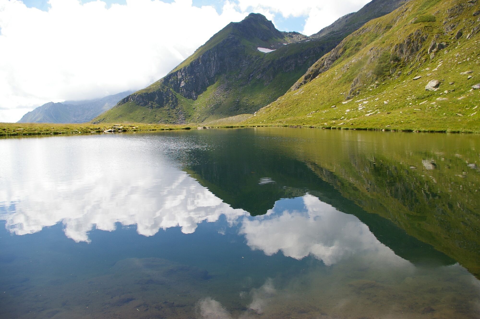
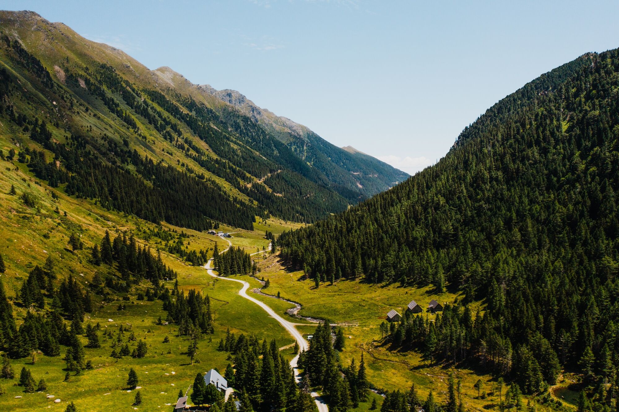
© Tourismusverband Region Murau - CM Visuals

© Tourismusverband Region Murau - Alexander Brunner

© Tourismusverband Region Murau - CM Visuals

- Descrizione rapida
-
This is a moderately difficult tour, but it seems harder than it is.
- Difficoltà
-
intermedio
- Valutazione
-
- Percorso
-
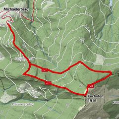
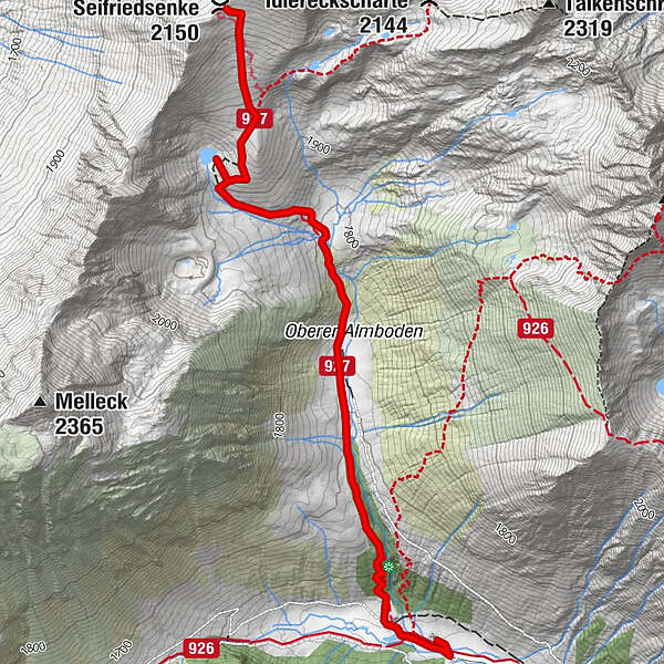
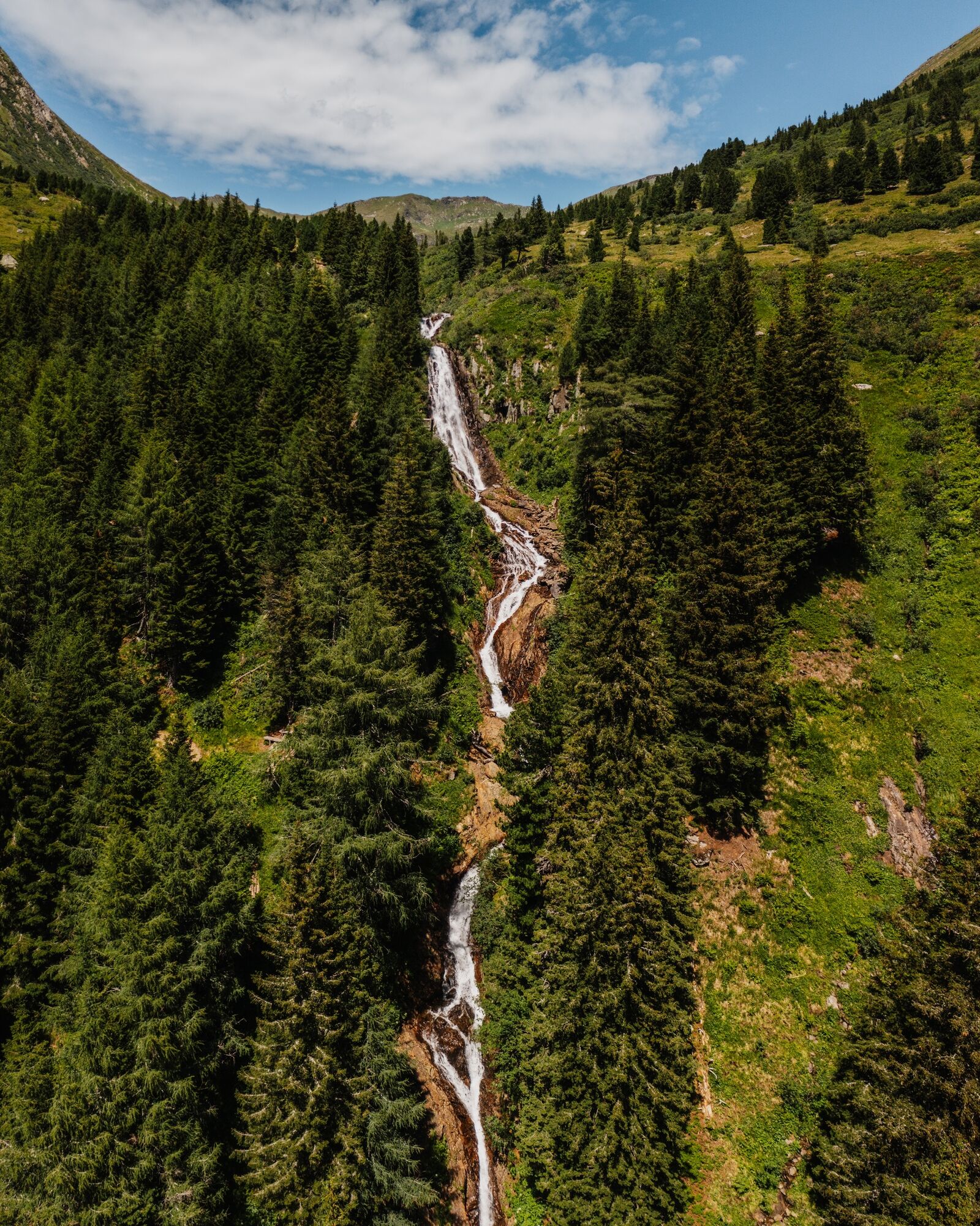
Hölzerhütte0,3 kmEselsbachfall0,7 kmSeifriedsenke (2.150 m)3,6 km
- La stagione migliore
-
genfebmaraprmaggiulugagosetottnovdic
- Punto più alto
- 2.134 m
- Destinazione
-
Seifriedsenke
- Profilo altimetrico
-

- Autore
-
Il tour Seifriedsenke è utilizzato da outdooractive.com fornito.
GPS Downloads


Info generali
Promettente
Altri tour nelle regioni