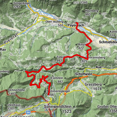
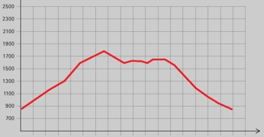
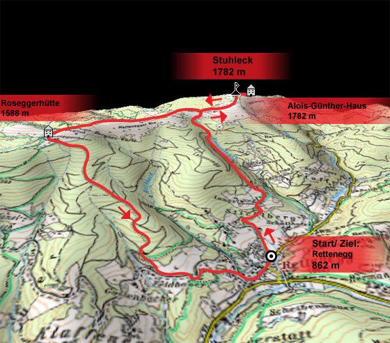
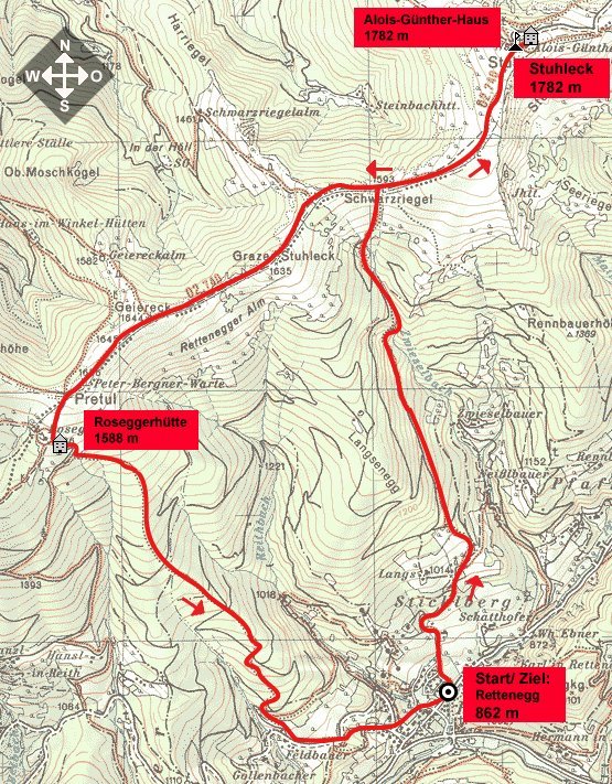
Dati percorsi
13,69km
- 1.782m
950hm
06:30h

- Descrizione rapida
-
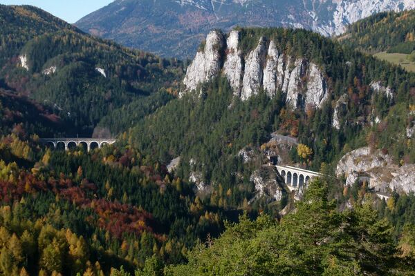
Schöne Wanderung mit tollen Aussichtspunkten und Einkehrmöglichkeiten.
- Valutazione
-
- Punto di partenza
-
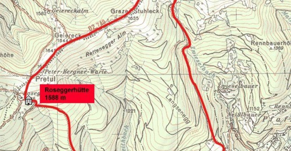
Rettenegg (862 m)
- Punto più alto
- 1.782 m
- Riposo/Ritiro
-
Alois-Günther-Haus , Roseggerhütte;
- Cartine

GPS Downloads


Altri tour nelle regioni
-
Hochsteiermark
4046
-
Waldheimat
2169
-
Rettenegg
441