

© Tourismusverband Region Murau - René Hochegger

- Descrizione rapida
-
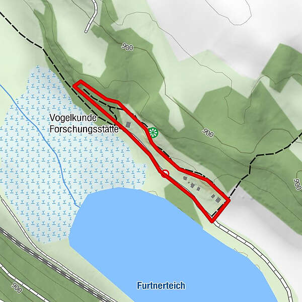
The Natura 2000 protected area is still a “host country” for many rare bird species.
- Difficoltà
-
facile
- Valutazione
-
- La stagione migliore
-
genfebmaraprmaggiulugagosetottnovdic
- Punto più alto
- 882 m
- Destinazione
-
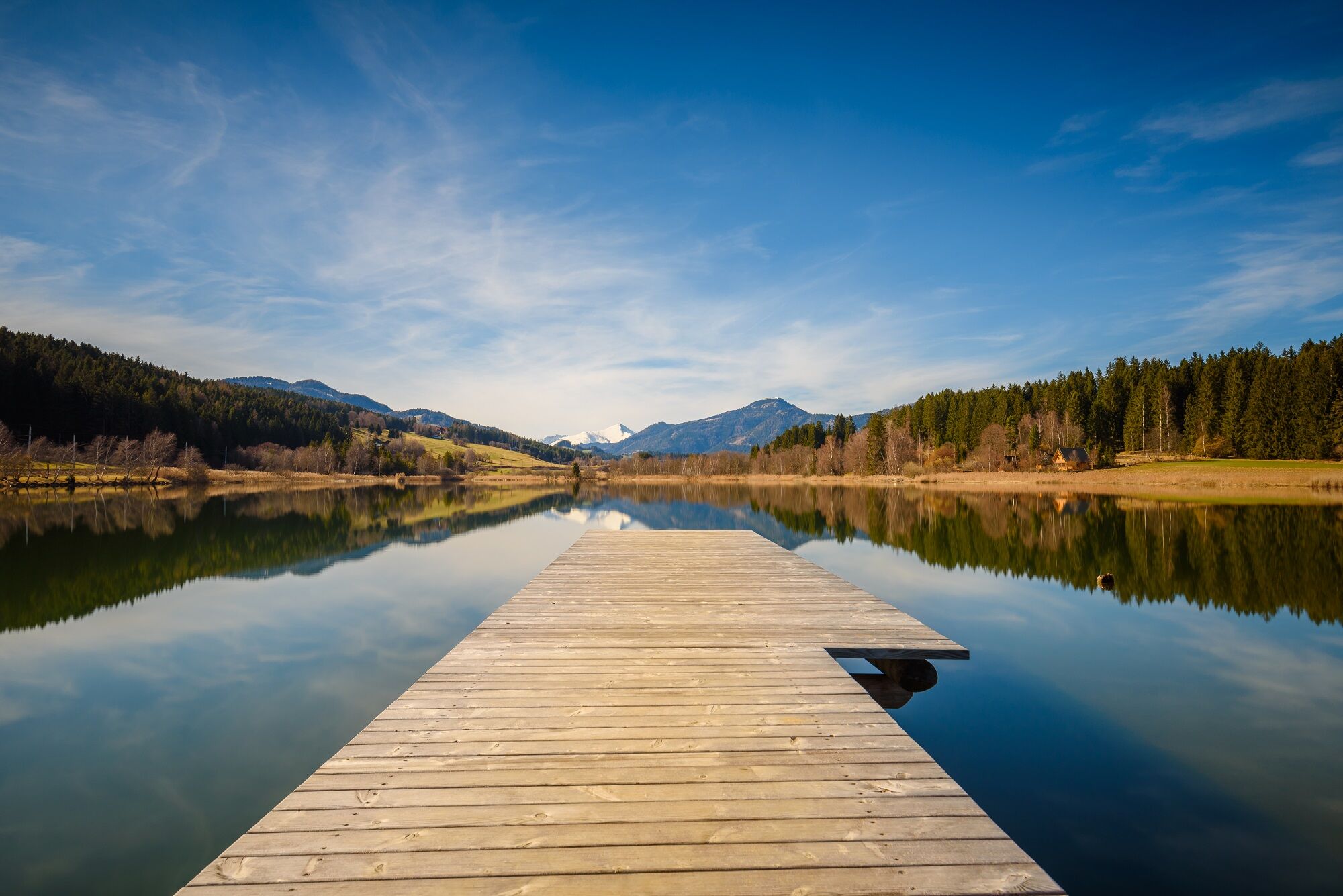
Furtner Teich
- Profilo altimetrico
-

- Autore
-
Il tour Nature & Country Way è utilizzato da outdooractive.com fornito.
GPS Downloads


Info generali
Suggerimento
Fauna
Altri tour nelle regioni


