© Tourismusverband Region Murau - CM Visuals

© Tourismusverband Region Murau - Alexander Brunner

- Descrizione rapida
-
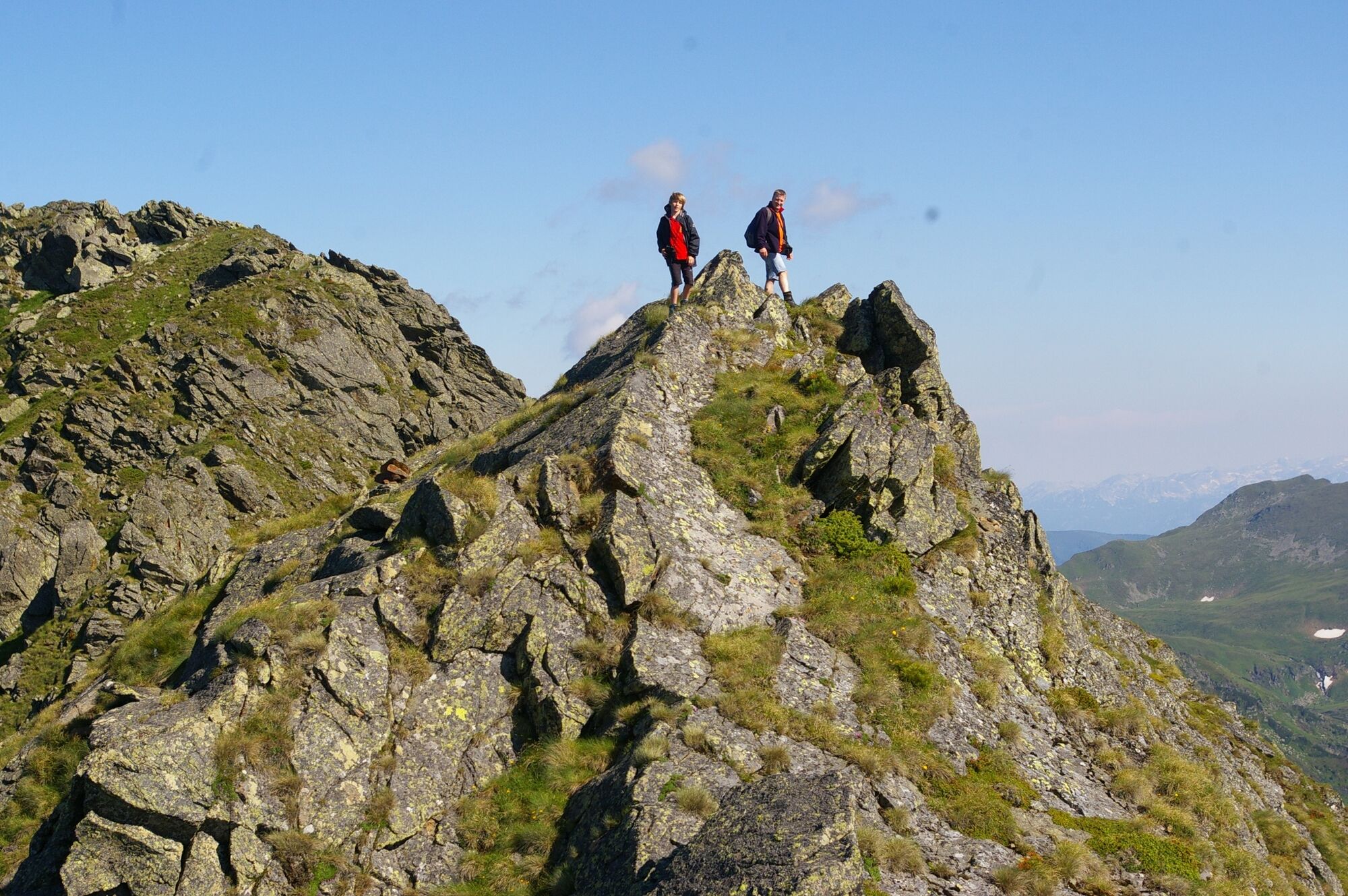
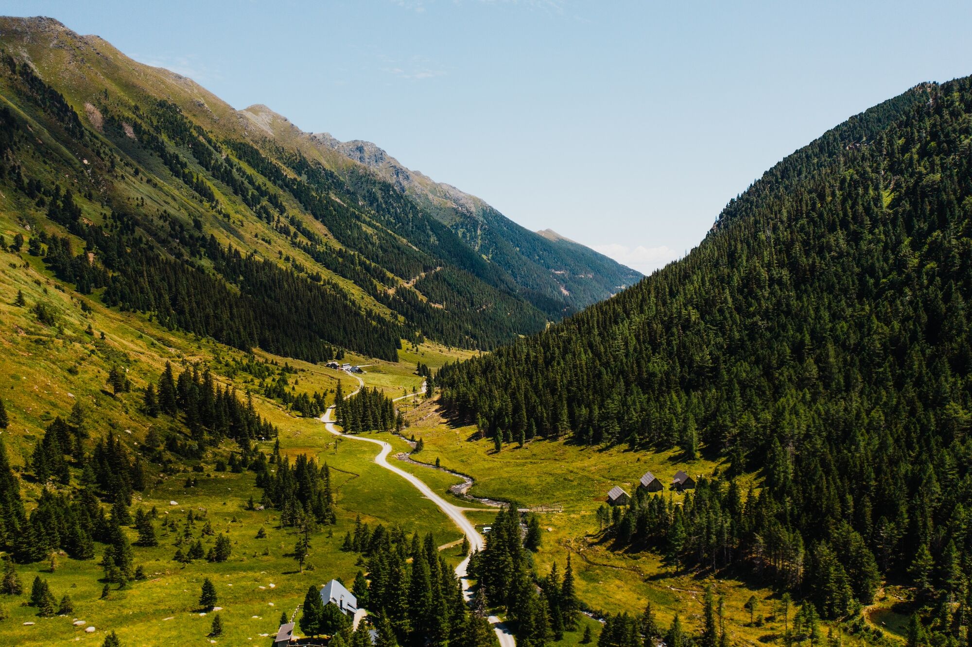
A popular mountain tour in the Eselsberger Alm with beautiful views, but requires surefootedness.
- Difficoltà
-
difficile
- Valutazione
-
- Percorso
-
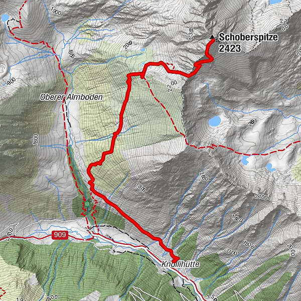
Eselsbachfall1,0 kmSchoberspitze (2.423 m)3,7 km
- La stagione migliore
-
genfebmaraprmaggiulugagosetottnovdic
- Punto più alto
- 2.389 m
- Destinazione
-
Schoberspitze
- Profilo altimetrico
-

- Autore
-
Il tour Schoberspitze è utilizzato da outdooractive.com fornito.
GPS Downloads


Altri tour nelle regioni