© Manfred Strahlhofer
© Manfred Strahlhofer
© Manfred Strahlhofer
© Manfred Strahlhofer
© Manfred Strahlhofer
© Manfred Strahlhofer

© Manfred Strahlhofer

© Manfred Strahlhofer
© Manfred Strahlhofer
© Manfred Strahlhofer
Dati percorsi
7,61km
663
- 983m
335hm
346hm
02:30h
- Difficoltà
-
intermedio
- Valutazione
-
- Punto di partenza
-
Dürntalwirt
- Percorso
-
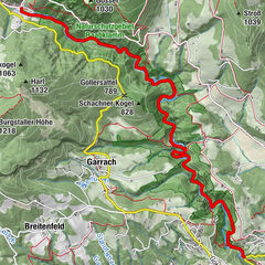
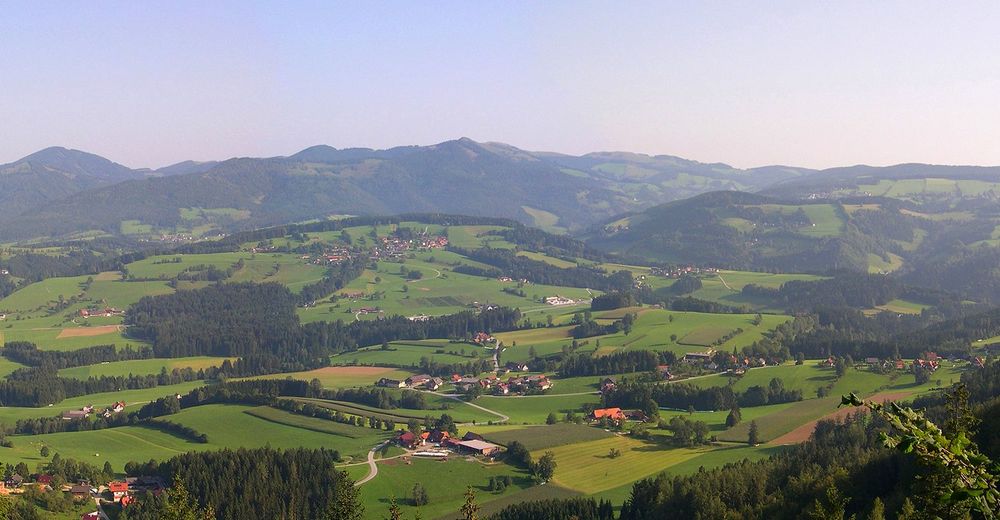
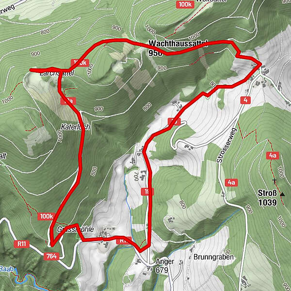
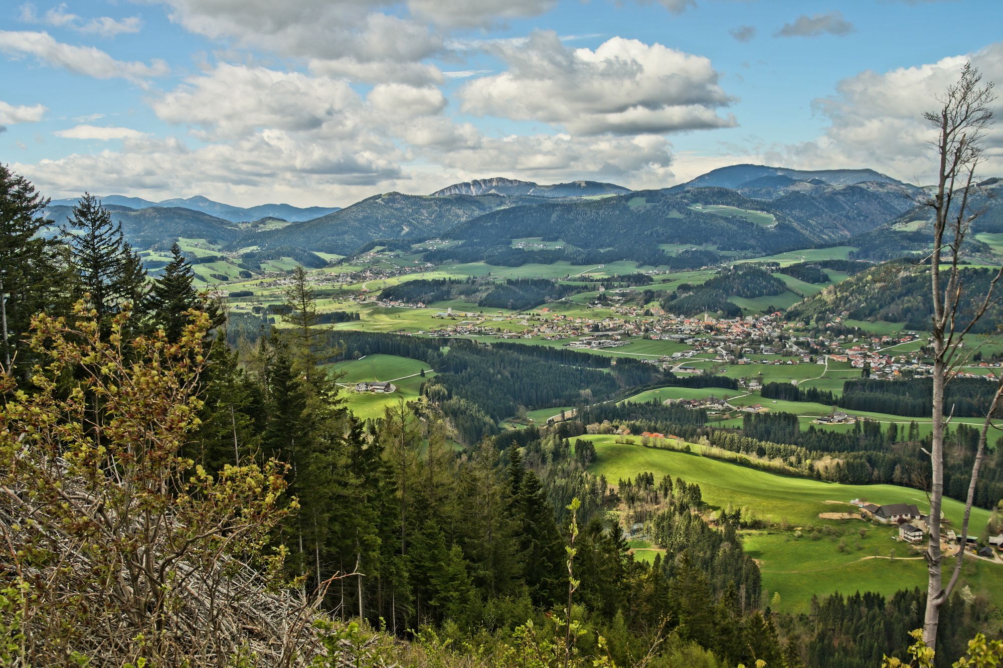
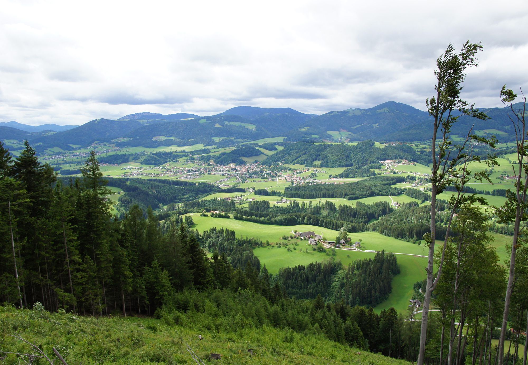
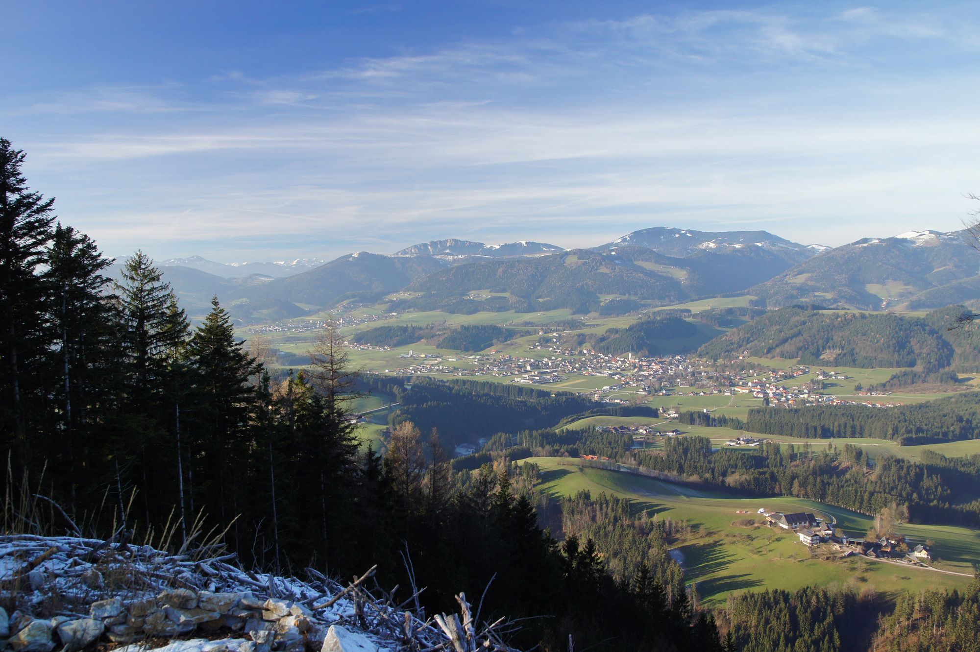
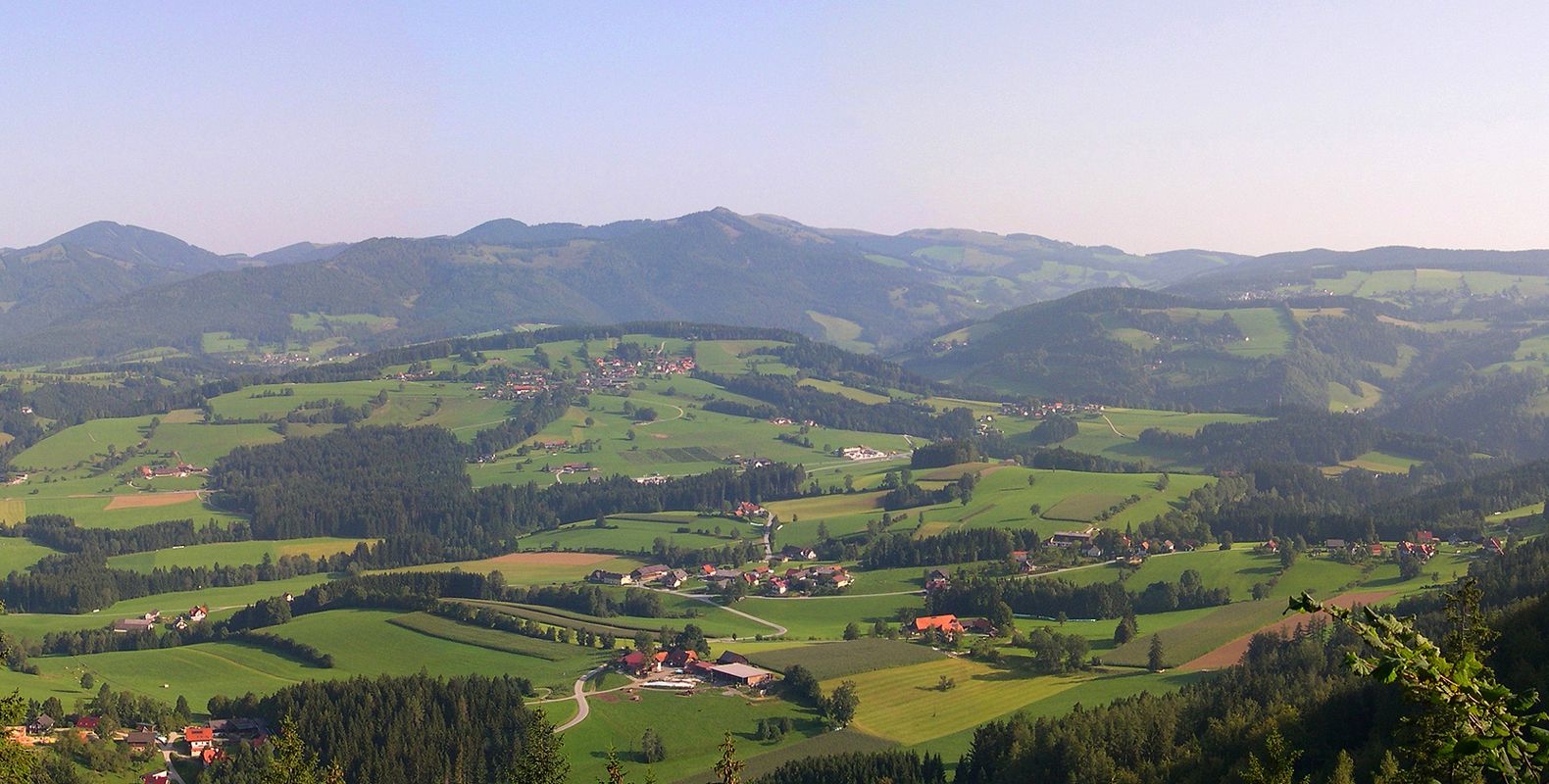
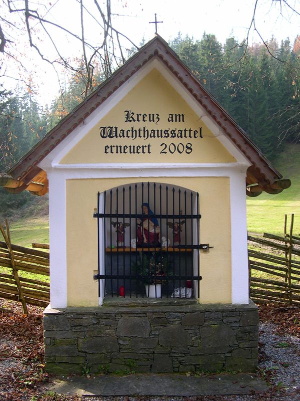
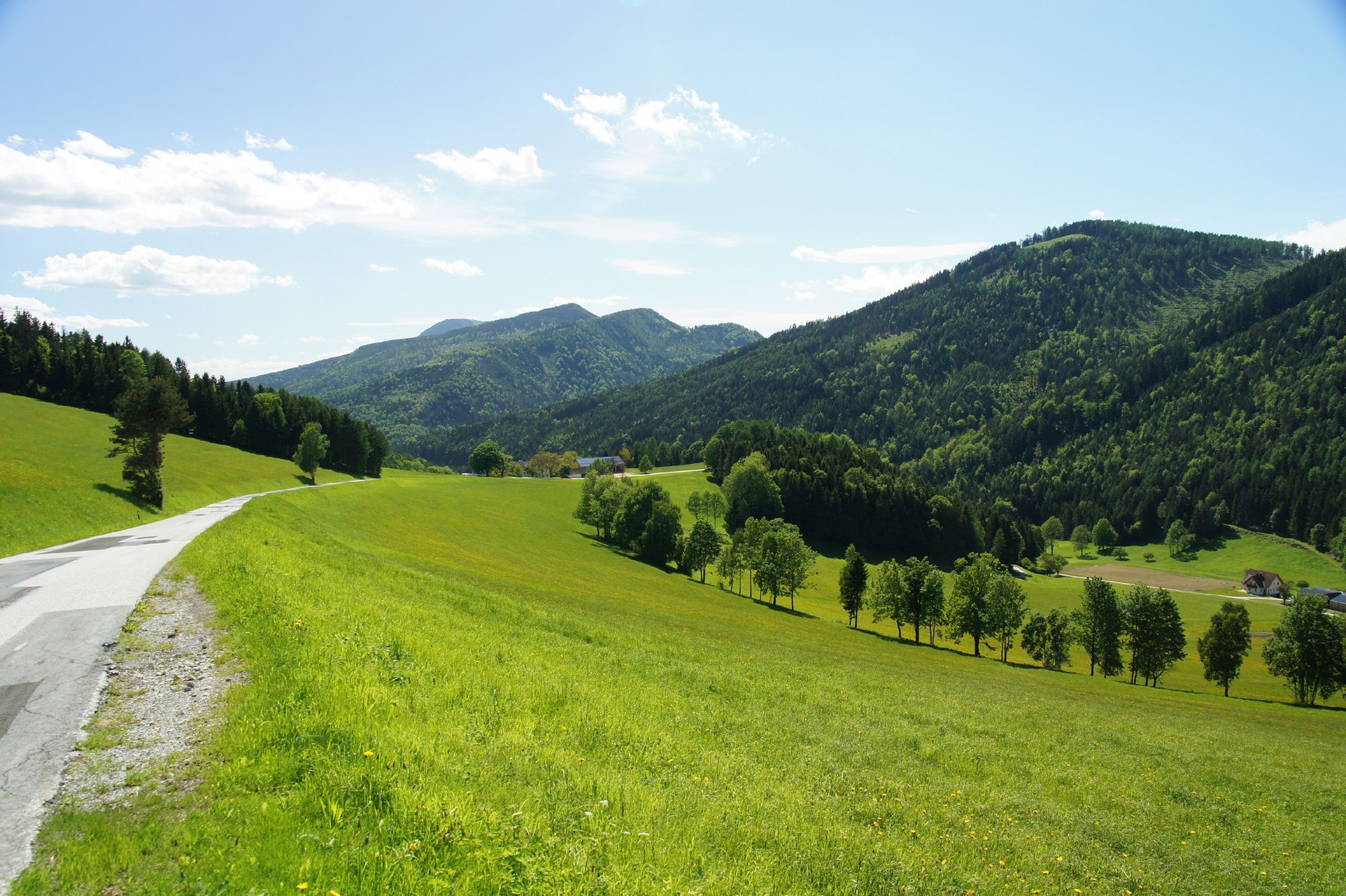
DürntalwirtGrasslhöhle0,1 kmLärchsattel2,8 kmWachthaussattel (950 m)3,6 kmGschaid bei Weiz4,9 kmDürntal6,2 kmDürntalwirt7,5 km
- La stagione migliore
-
genfebmaraprmaggiulugagosetottnovdic
- Punto più alto
- 983 m
- Destinazione
-
gleich wie Ausgangspunkt
- Riposo/Ritiro
-
Dürntalwirt (www.duerntalwirt.at)
- Cartine
-
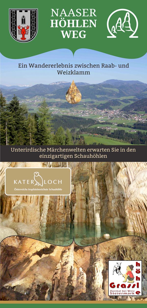
Naaser Höhlenweg-Folder: Dieser liegt beim Gemeindeamt und beim Dürntalwirt auf. Er ist praktisch für unterwegs und enthält eine Wegbeschreibung mit Kartenskizze, sowie viele interessante Informationen.


- Fonte
- Manfred Strahlhofer
GPS Downloads


Condizioni dei sentieri
Asfalto
Ghiaia
Prato
Foresta
Roccia
Esposta
Altri tour nelle regioni
-
Erlebnisregion Graz
2783
-
Naturpark Almenland
1767
-
Naas
502