

© Oststeiermark Tourismus - Ewald Neffe

© Oststeiermark Tourismus - Walter Schneider

© Oststeiermark Tourismus - XErlebnisregion Oststeiermark Geschäftsstelle ApfelLand-Stubenbergsee

© Oststeiermark Tourismus - Tourismusverband Oststeiermark

© Oststeiermark Tourismus - Tourismusverband Oststeiermark

© Oststeiermark Tourismus - Rene Strasser

© Oststeiermark Tourismus - Ewald Neffe

© Oststeiermark Tourismus - Ewald Neffe
- Descrizione rapida
-
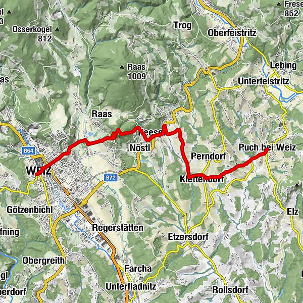
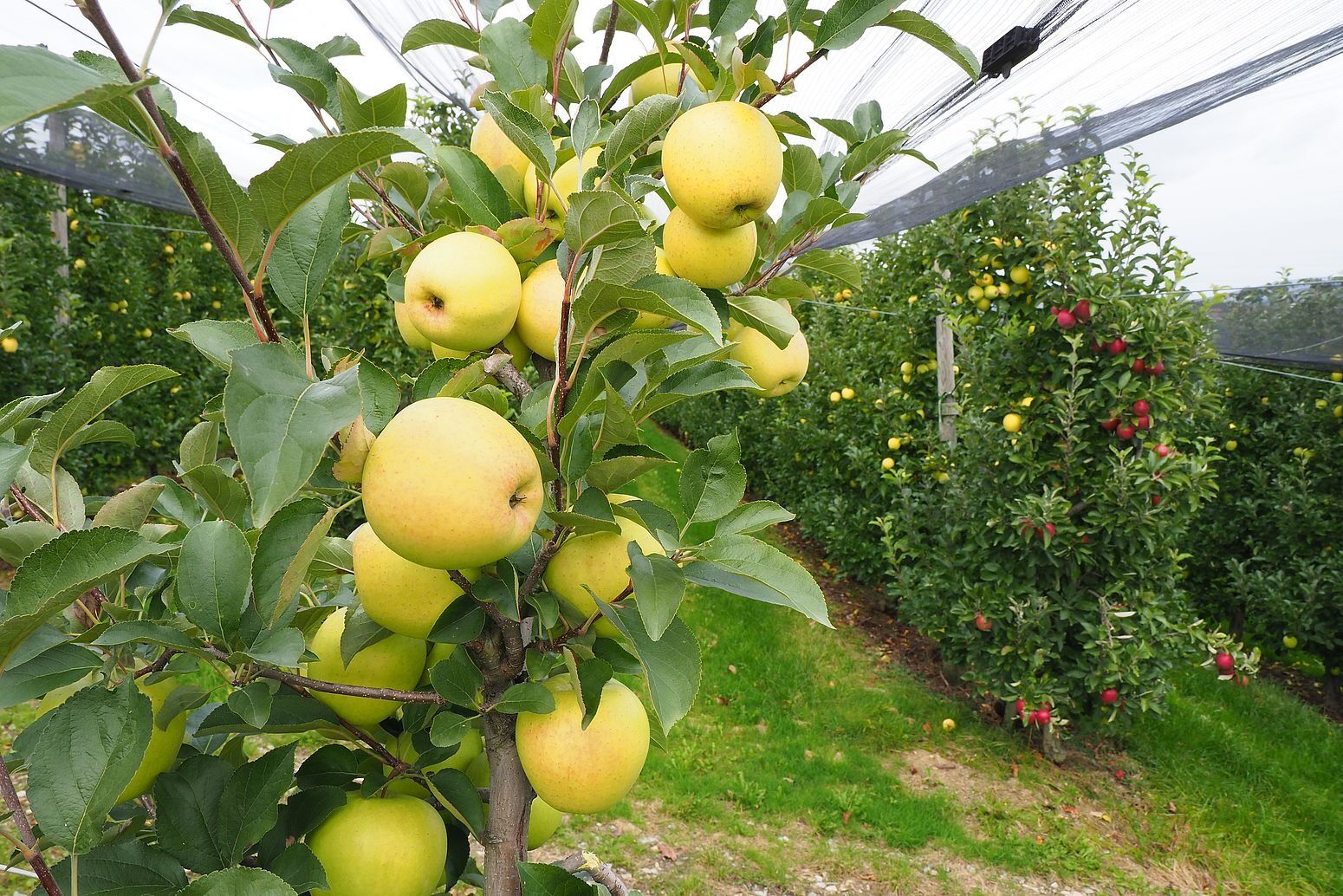
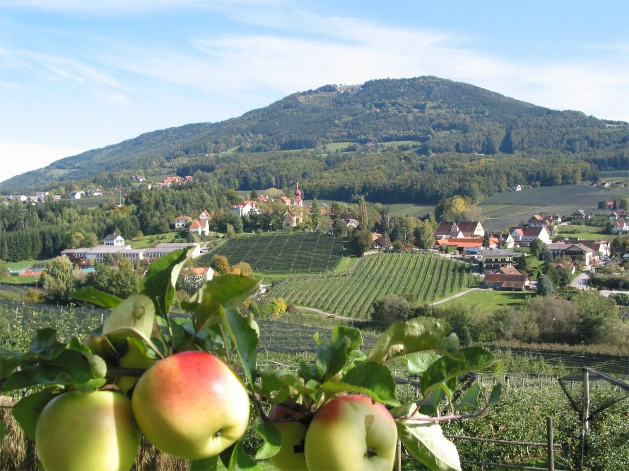
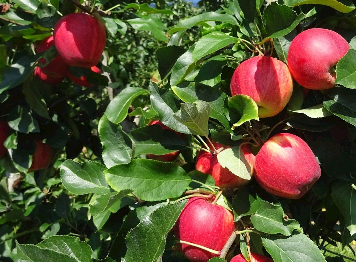
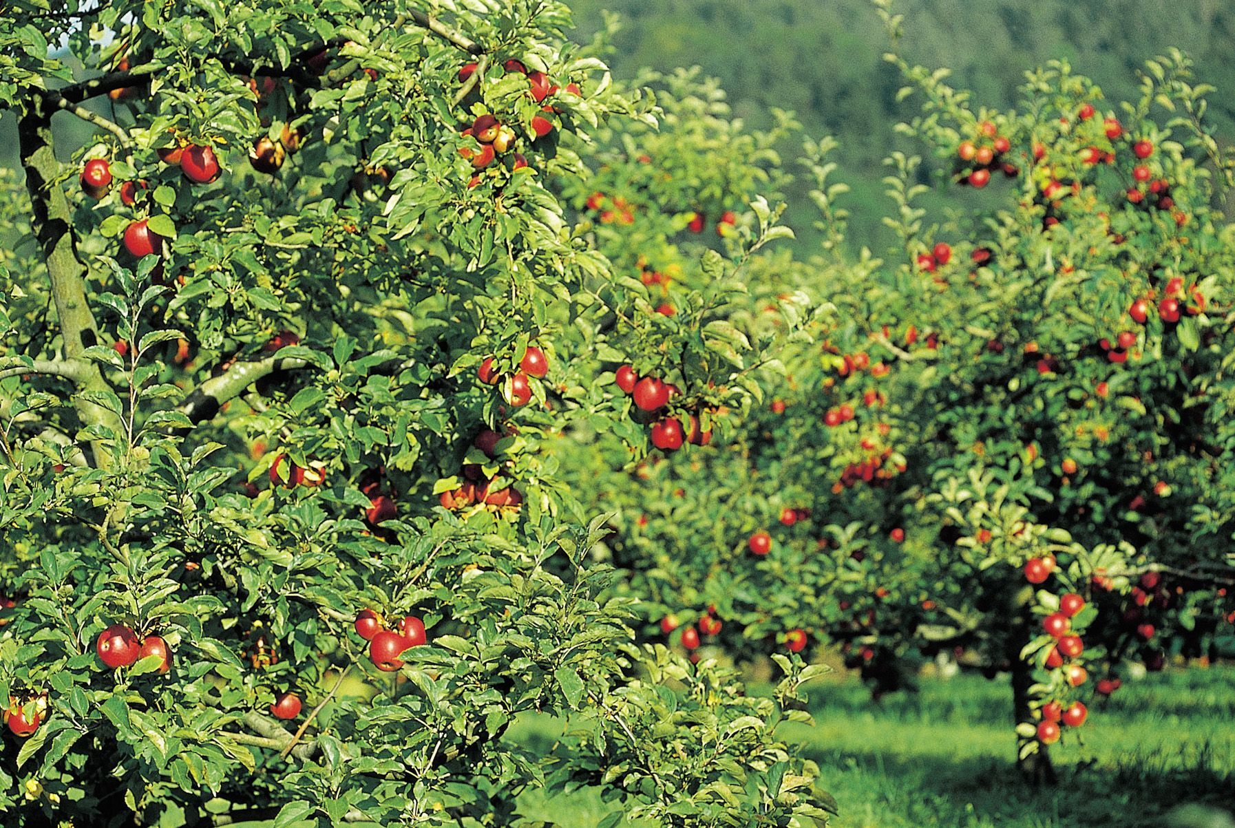
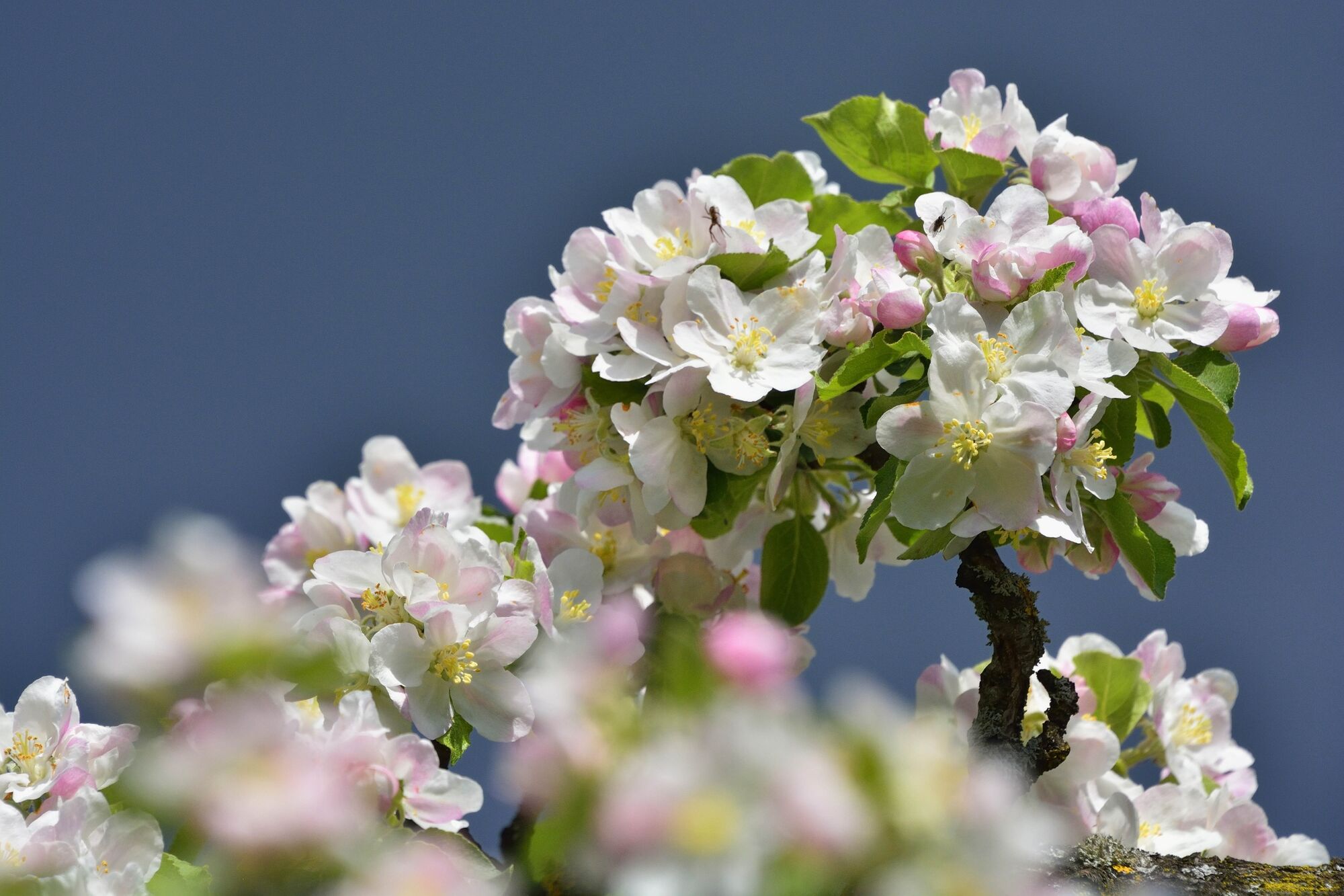
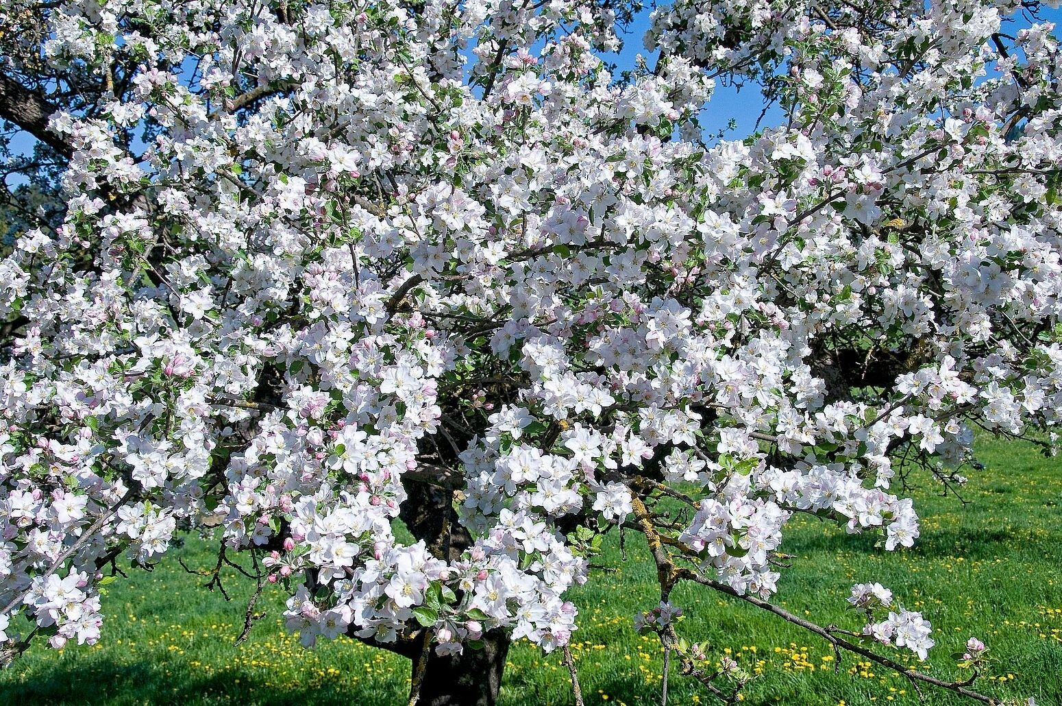
"A journey to paradise", a gently rolling, beautiful landscape with orchards as far as the eye can see awaits us on this hike.
- Difficoltà
-
facile
- Valutazione
-
- Percorso
-
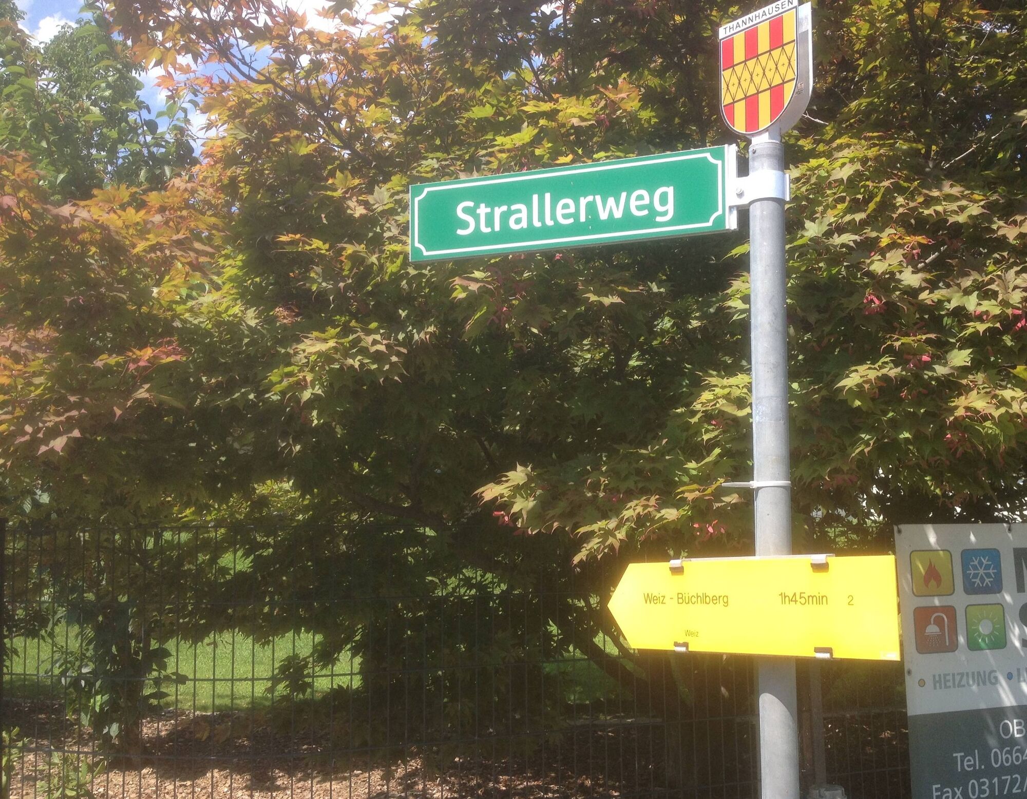
EiteljörgPuch bei Weiz0,0 kmMeißel0,1 kmSteingrub1,5 kmKlettendorf2,4 kmAlterilz4,5 kmPeesen6,1 kmGasthaus Hafner6,3 kmPeesen (480 m)6,5 kmNöstl6,6 kmNöstlberg6,9 kmJohanneskapelle9,8 kmOberfladnitz-Thannhausen9,9 kmDorfkreuz Oberfladnitz9,9 kmSchlosstaverne Pichler10,1 kmBasilika am Weizberg10,7 kmRadmannsdorf11,3 kmWeiz12,1 kmTaborkirche hl. Thomas von Canterbury12,2 km
- La stagione migliore
-
genfebmaraprmaggiulugagosetottnovdic
- Punto più alto
- 591 m
- Destinazione
-
Main square Weiz
- Profilo altimetrico
-

-

-
AutoreIl tour Apple hiking trail from Puch to Weiz è utilizzato da outdooractive.com fornito.
GPS Downloads


Altri tour nelle regioni
-
Oststeiermark
2126
-
Weiz/St. Ruprecht an der Raab
1521
-
Thannhausen
325


