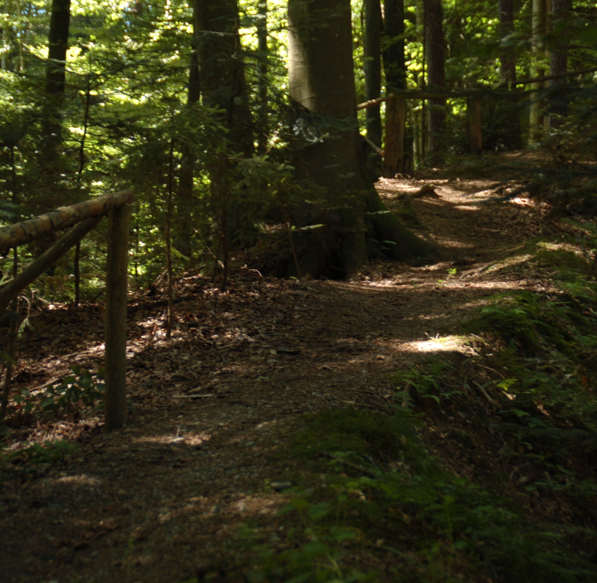
© (c) Günther Steininger


© St. Ruprecht an der Raab - Hubert Ernst

© St. Ruprecht an der Raab - Hubert Ernst

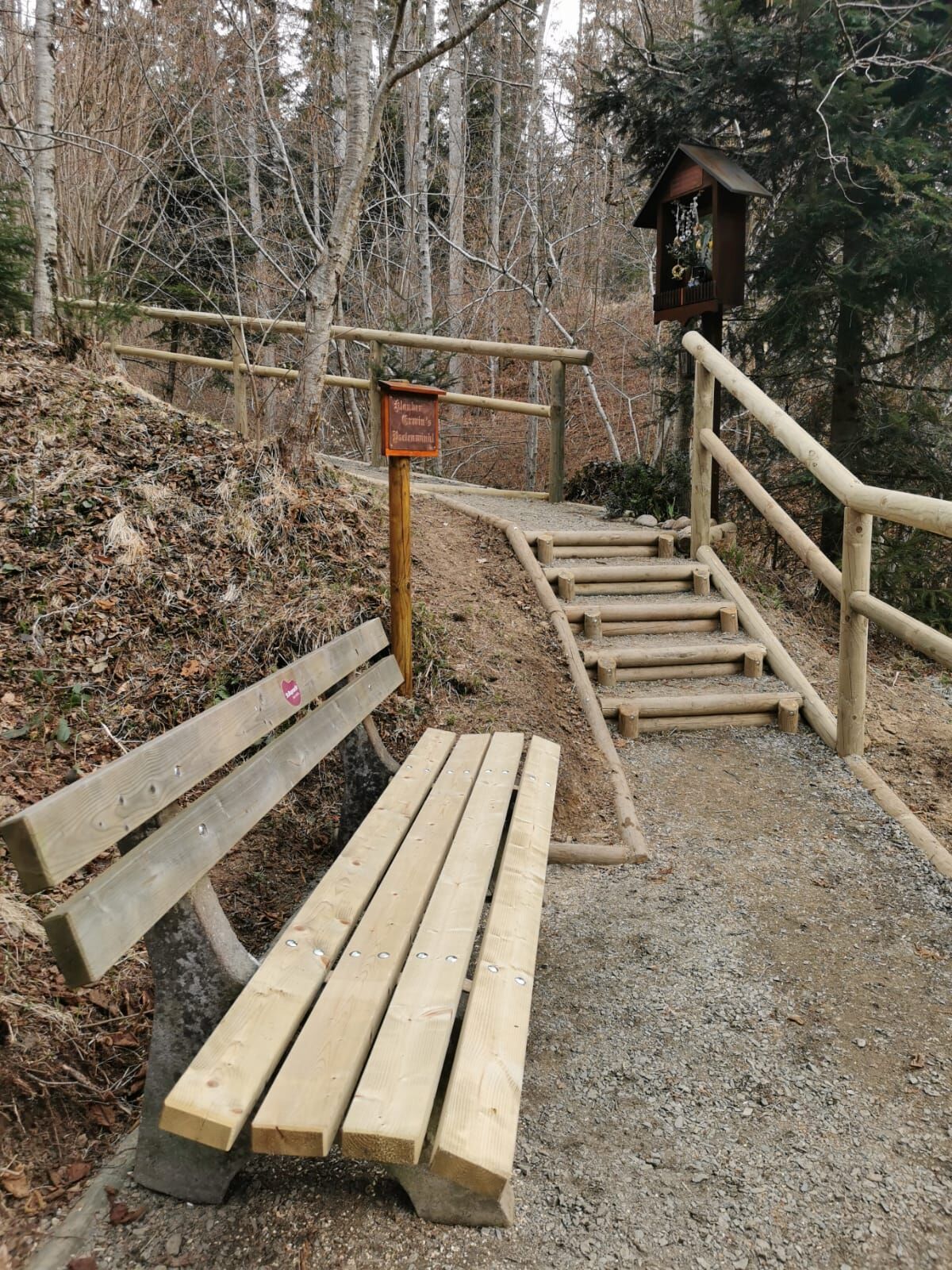
© St. Ruprecht an der Raab - Hubert Ernst

© St. Ruprecht an der Raab - Hubert Ernst

- Descrizione rapida
- Difficoltà
-
facile
- Valutazione
-
- Percorso
-
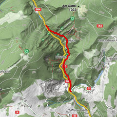
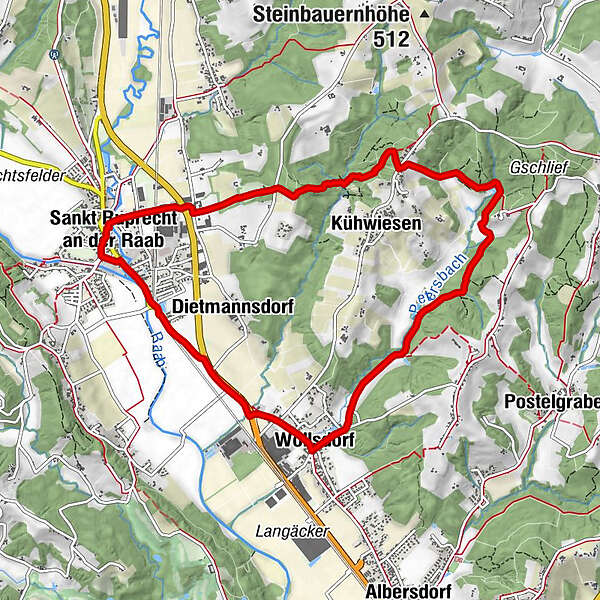
Sankt Ruprecht an der RaabMariensäule0,0 kmFriedensgrotte0,0 kmPfarrkirche hl. Ruprecht0,1 kmKühwiesen2,5 kmFuchsleiten2,7 kmWollsdorf7,0 kmDietmannsdorf8,4 kmSankt Ruprecht an der Raab9,8 kmMariensäule9,9 kmFriedensgrotte10,0 km
- La stagione migliore
-
genfebmaraprmaggiulugagosetottnovdic
- Punto più alto
- 477 m
- Destinazione
-
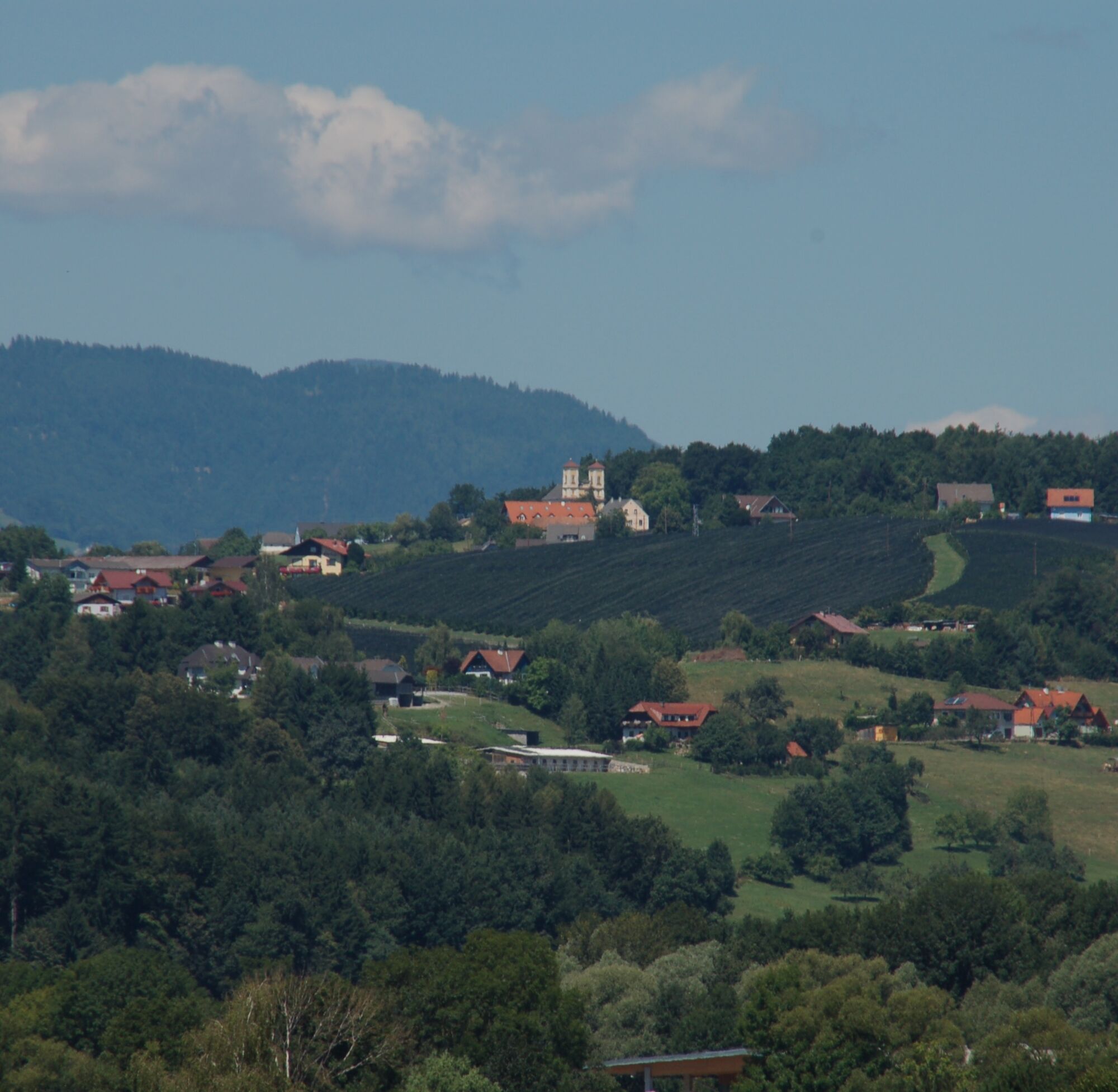
St. Ruprecht - Main Square
- Profilo altimetrico
-


-

-
AutoreIl tour panorama path, St. Ruprecht/Raab è utilizzato da outdooractive.com fornito.
GPS Downloads


Info generali
Culturale/Storico
Altri tour nelle regioni
-
Oststeiermark
2126
-
Weiz/St. Ruprecht an der Raab
1521
-
Albersdorf-Prebuch
178