
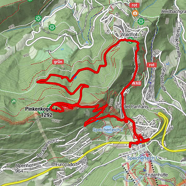
Dati percorsi
9,2km
974
- 1.275m
313hm
320hm
02:54h
- Descrizione rapida
-
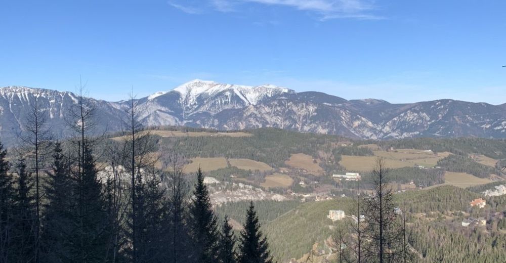
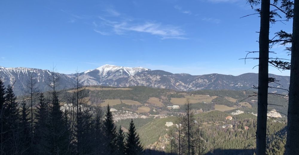
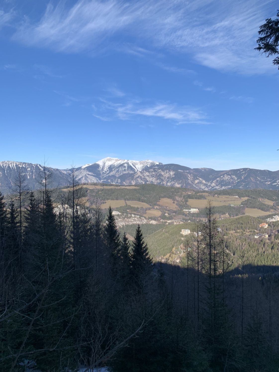
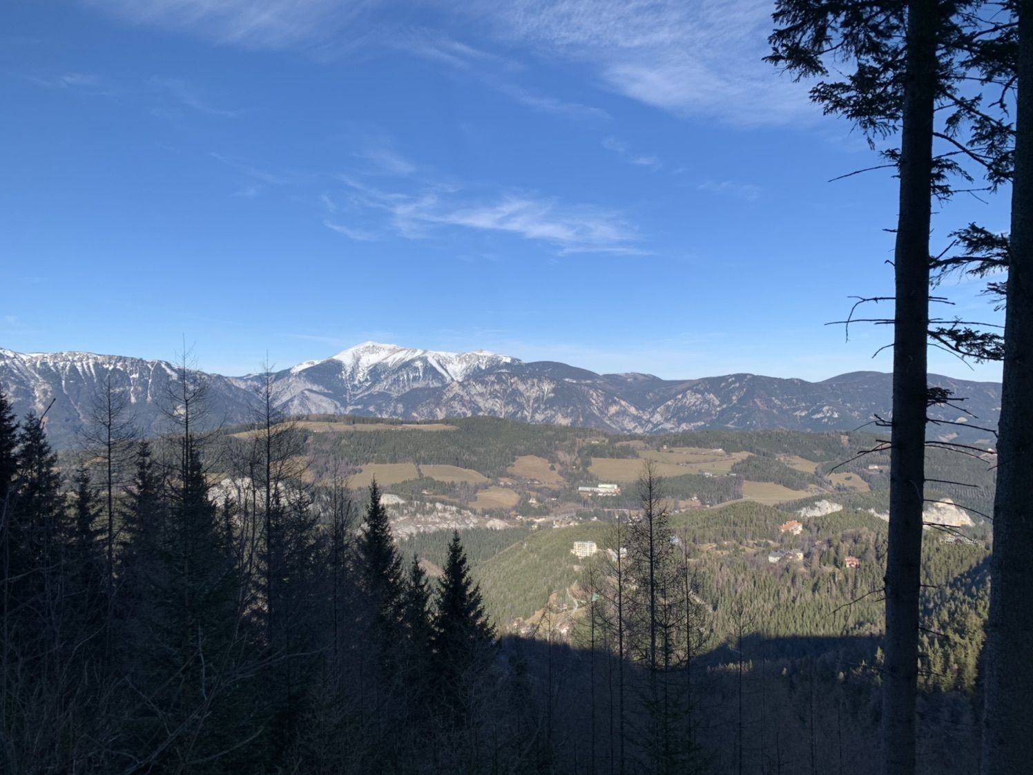
Im ersten Drittel etwas steiler, dafür am Pinkenkogel wunderbare Sicht auf den Schneeberg! Der Abstieg ist entlang eines Forstweges und landschaftlich sehr beeindruckend.
- Difficoltà
-
facile
- Valutazione
-
- Percorso
-
Semmeringpass (984 m)0,2 kmKleine Kretzahöhle2,7 kmPinkenkogel (1.290 m)3,7 kmSemmering - Kurort7,3 kmHl. Familie8,2 kmSemmeringpass (984 m)9,0 km
- Punto più alto
- 1.275 m
GPS Downloads

Altri tour nelle regioni
-
Hochsteiermark
4084
-
Semmering - Rax
2316
-
Semmering Hirschenkogel
804


