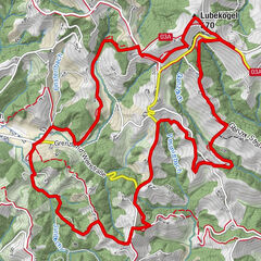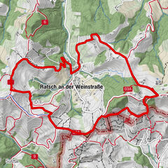
Dati percorsi
8,18km
530
- 621m
231hm
228hm
01:59h
- Descrizione rapida
-
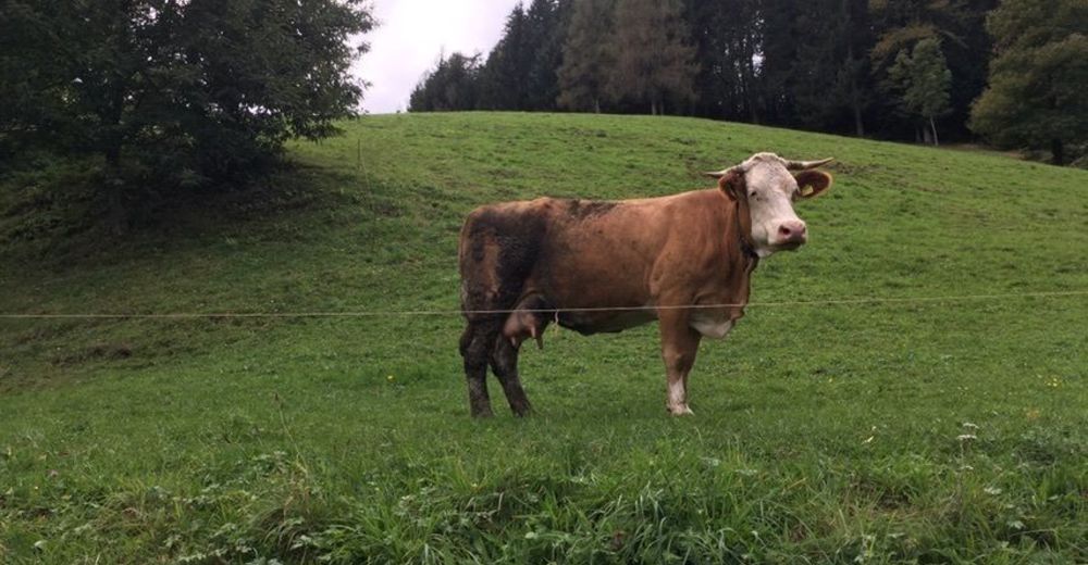
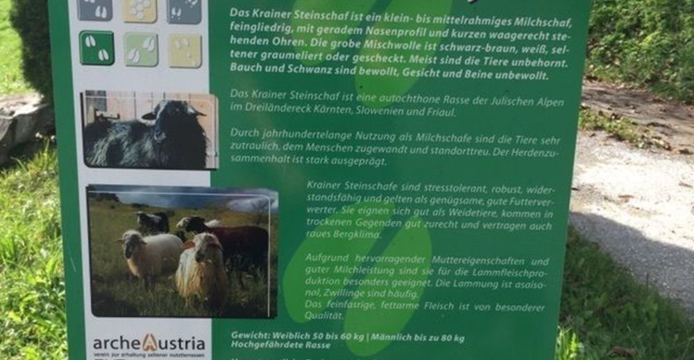
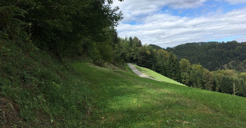
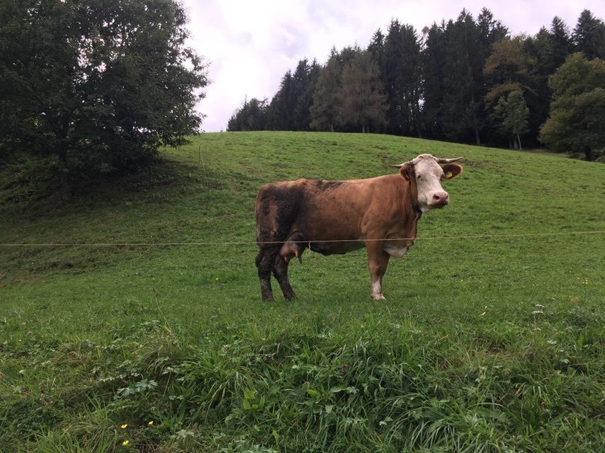
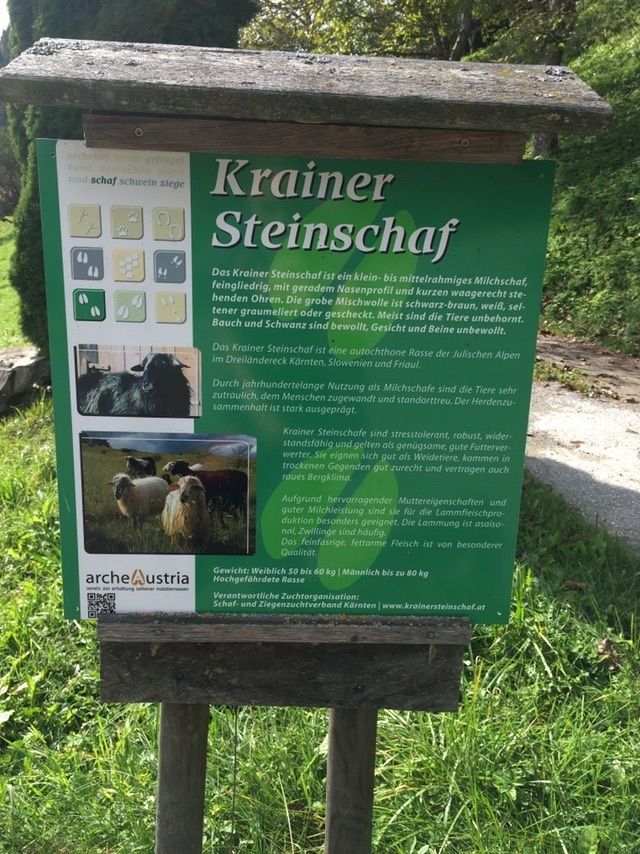
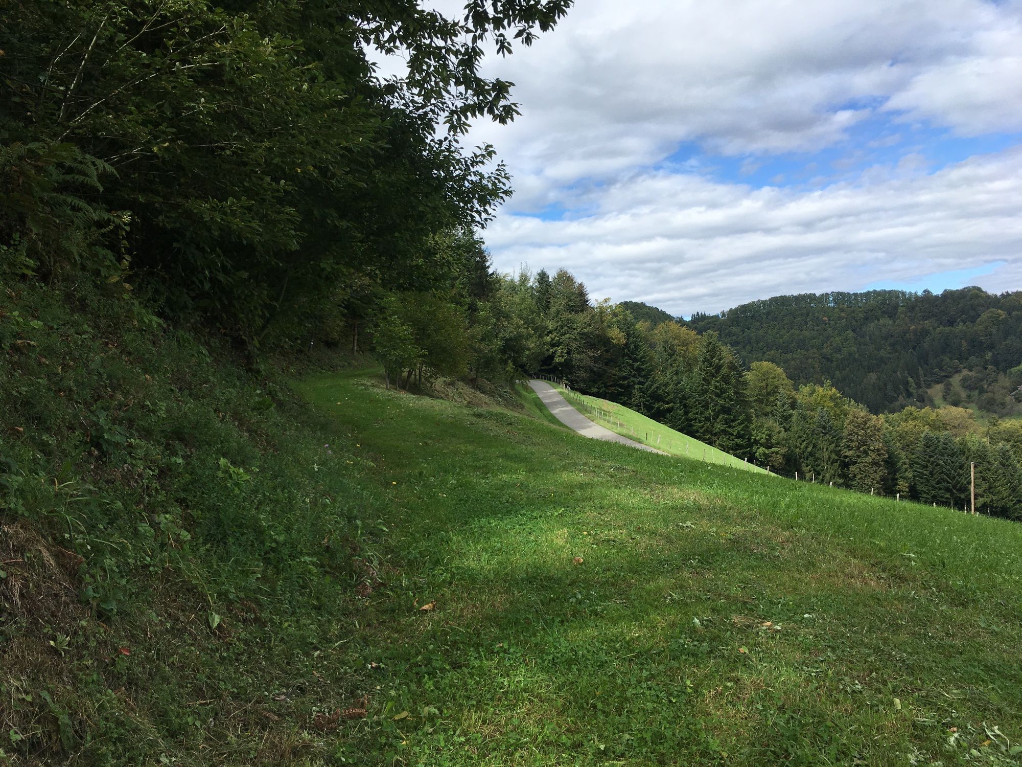
Durch Wald- und Wiesenwege an der österreichisch-slowenischen Grenze entlang.
- Difficoltà
-
facile
- Valutazione
-
- Percorso
-
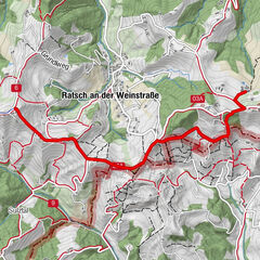
Familie Tertinjek4,4 km
- Punto più alto
- 621 m
GPS Downloads


Altri tour nelle regioni
-
Südsteiermark
1135
-
Maribor-Pohorje
263
-
Leutschach an der Weinstraße
259