Dati percorsi
4,58km
734
- 1.284m
551hm
6hm
01:24h

- Descrizione rapida
-
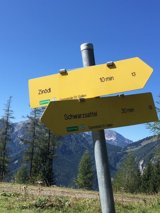
Mengg Alm bis Schwarsattel Forststraße, danach durch den Wald.
- Difficoltà
-
intermedio
- Valutazione
-
- Percorso
-
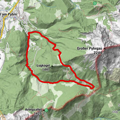
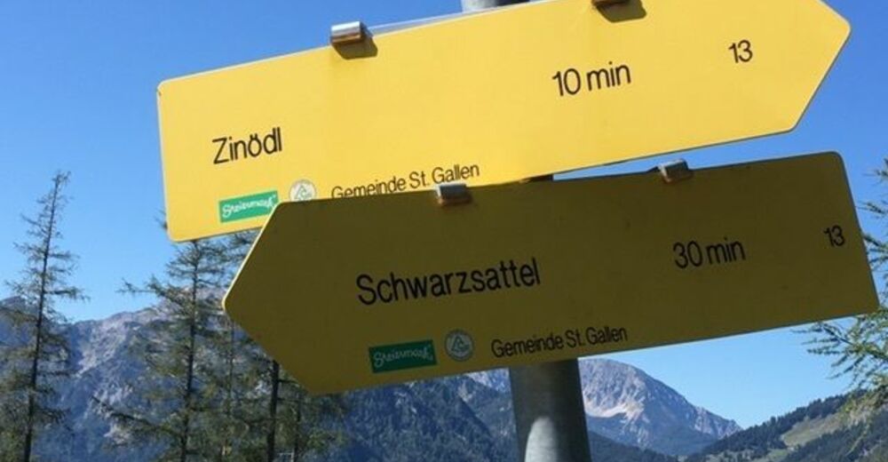
Menggalm0,0 kmSchwarzsattel (1.069 m)3,6 kmZinödlberg (1.294 m)4,5 km
- Punto più alto
- 1.284 m

GPS Downloads


Altri tour nelle regioni
-
Gesäuse
2225
-
Steyr und die Nationalpark Region
1371
-
St. Gallen
174


 & Kaiserschild (rechts)")