© Monika Gschwandner-Elkins - Monika Gschwandner

© Region Graz - TV Lipizzanerheimat/EU

© TV Steirische Rucksackdörfer - Tom Lamm/Ikarus

© Region Graz - TV Lipizzanerheimat/EU

© Region Graz - TV Lipizzanerheimat/EU

© Region Graz - TV Lipizzanerheimat_EU

© Region Graz - TV Lipizzanerheimat_EU

© Region Graz - TV Lipizzanerheimat_EU

© Region Graz - TV Lipizzanerheimat_EU

© Region Graz - TV Lipizzanerheimat_EU

- Descrizione rapida
-
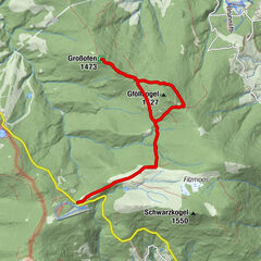
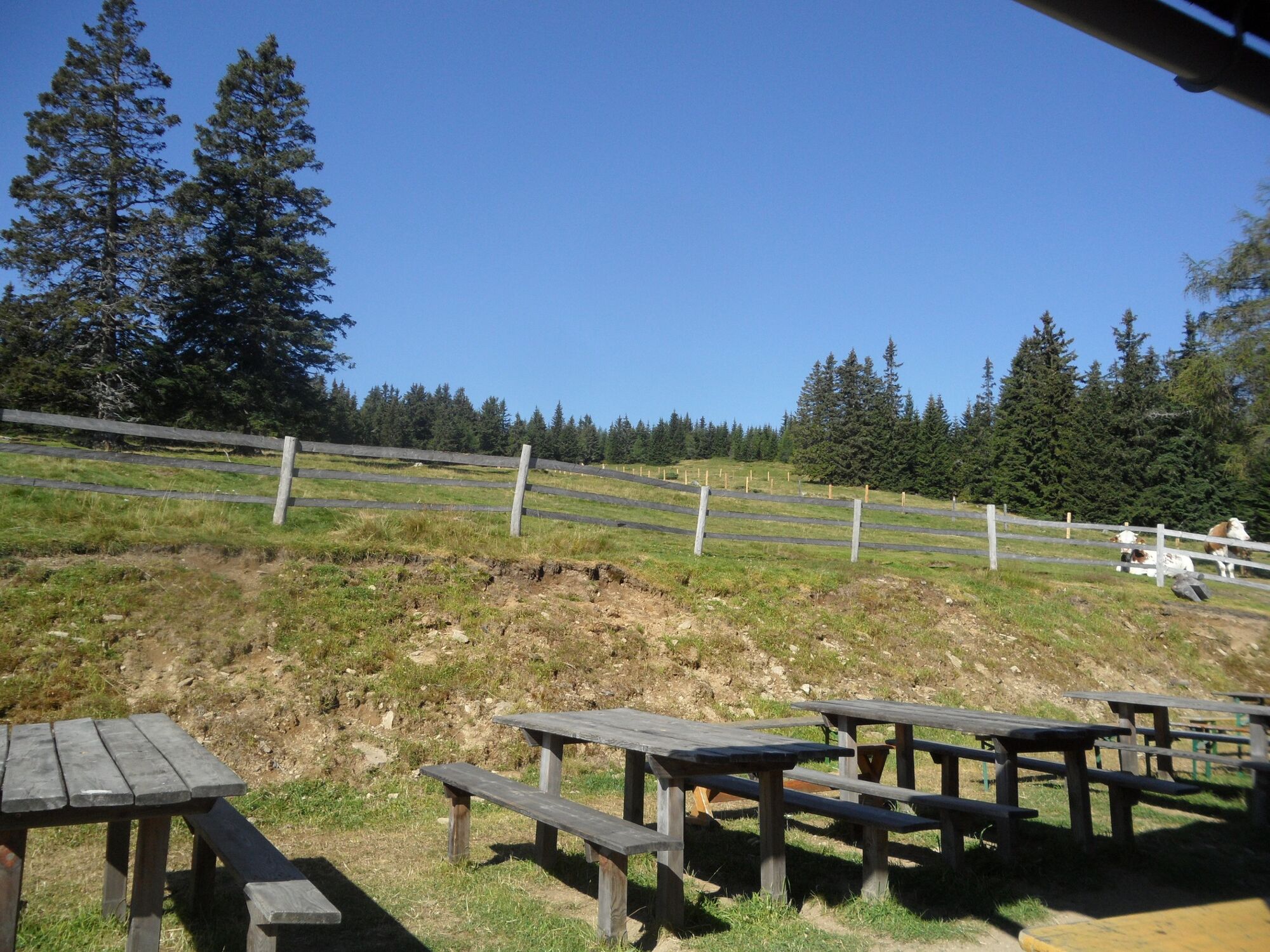
Eine schöne Almhütten-Wanderung im Grenzland zwischen Steiermark und Kärnten, die uns zeigt, wie traditionelle Almwirtschaft heute noch gelebt wird.
- Difficoltà
-
facile
- Valutazione
-
- Percorso
-
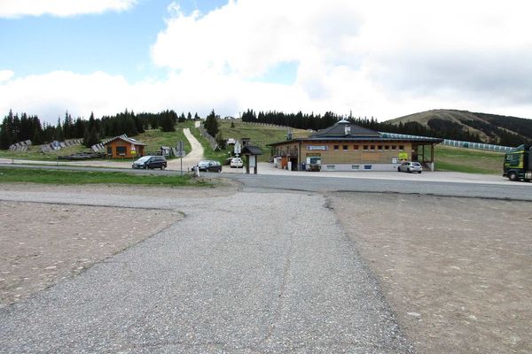
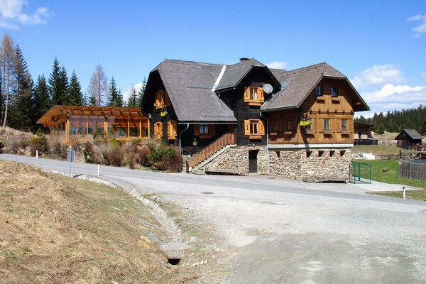
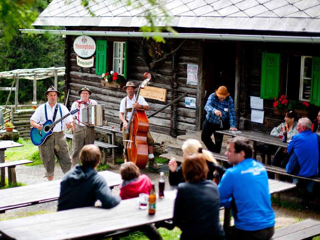
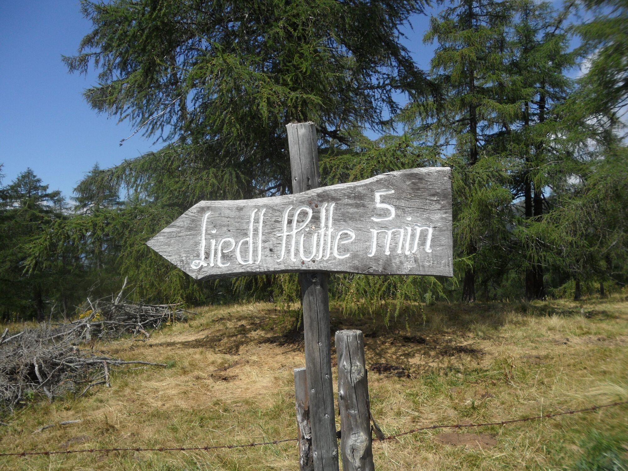
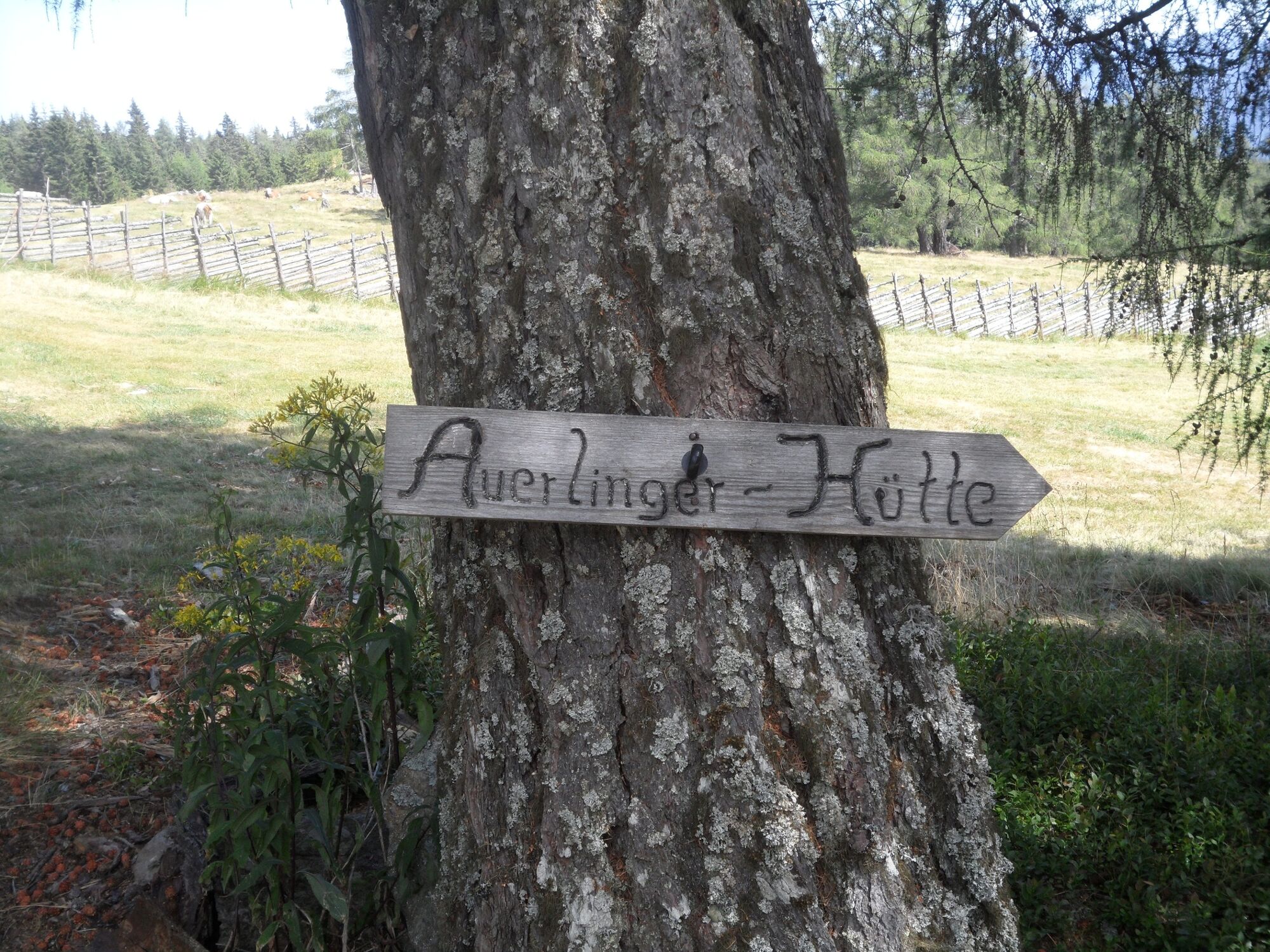
Bernsteinhütte2,3 kmLiedl Hütte6,0 kmSchrottalm6,3 kmSchrotthüttenkreuz6,8 kmSchrottalmhütte6,8 kmUnterauerlinger Hütte10,3 kmHubertuskapelle10,6 kmKnödelhütte14,2 km
- La stagione migliore
-
genfebmaraprmaggiulugagosetottnovdic
- Punto più alto
- 1.626 m
- Destinazione
-
Pack, Knödelhütte
- Profilo altimetrico
-


-

-
AutoreIl tour 5-Almhüttenwanderung è utilizzato da outdooractive.com fornito.
GPS Downloads


Info generali
Punto di ristoro
Promettente
Altri tour nelle regioni
-
Erlebnisregion Murtal
1783
-
Lavanttal
611
-
Hirschegg-Pack
245