Rottenmanner Tauern - Großer Bösenstein 2.448m - Kammtour mit Pfiff

Escursionismo
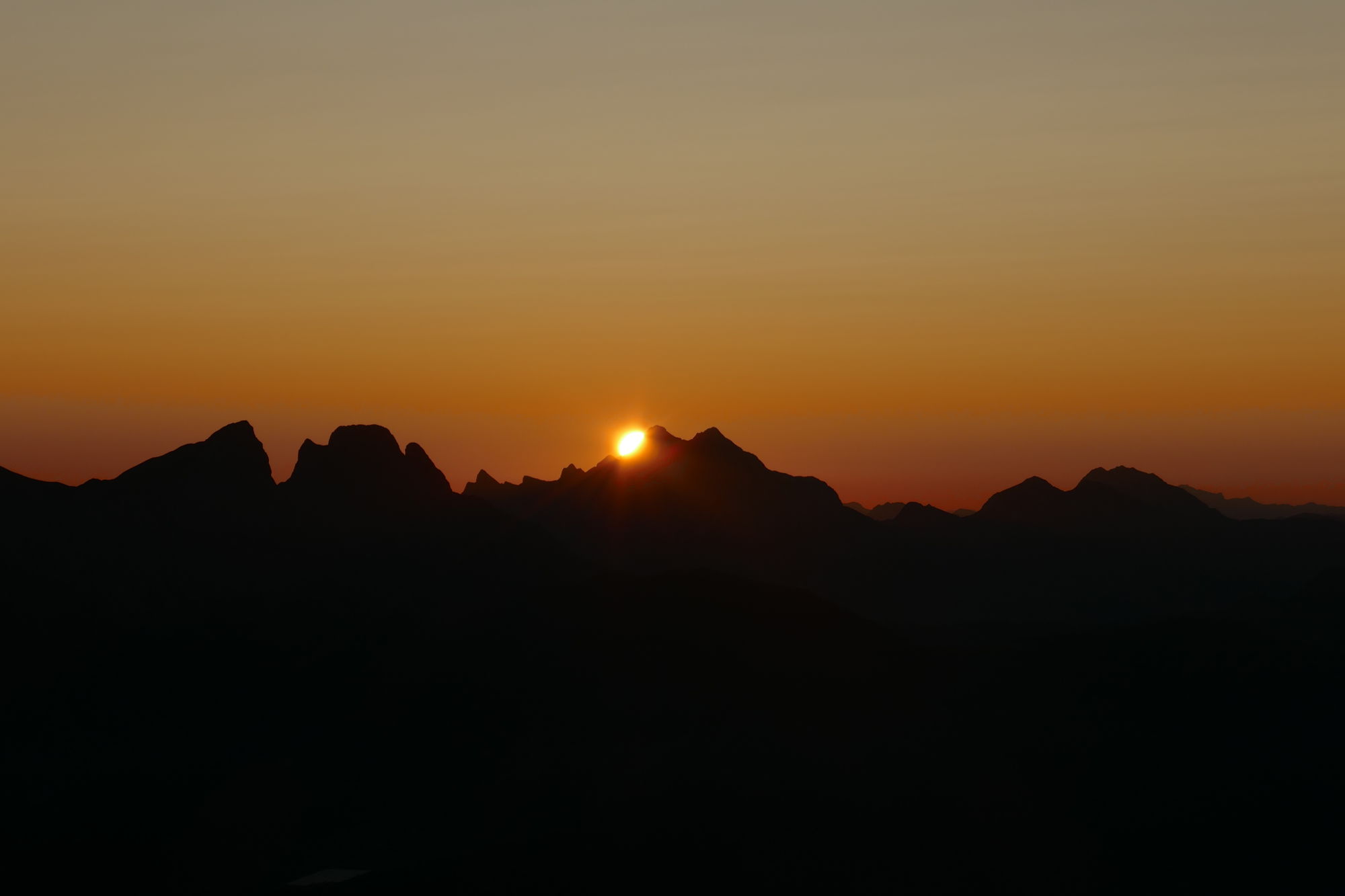
© Christian Herold - Petra und Christian

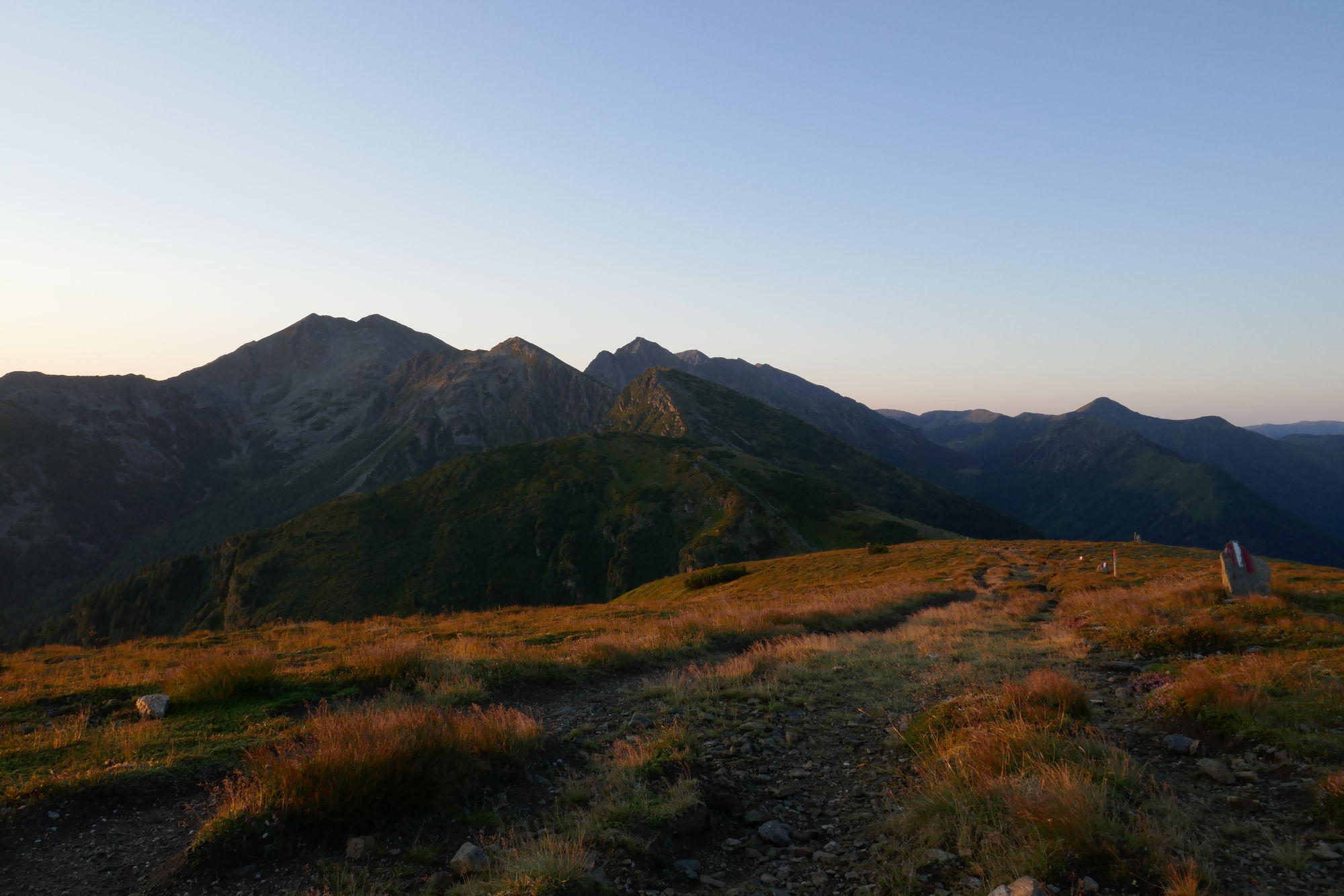
© Christian Herold - Petra und Christian

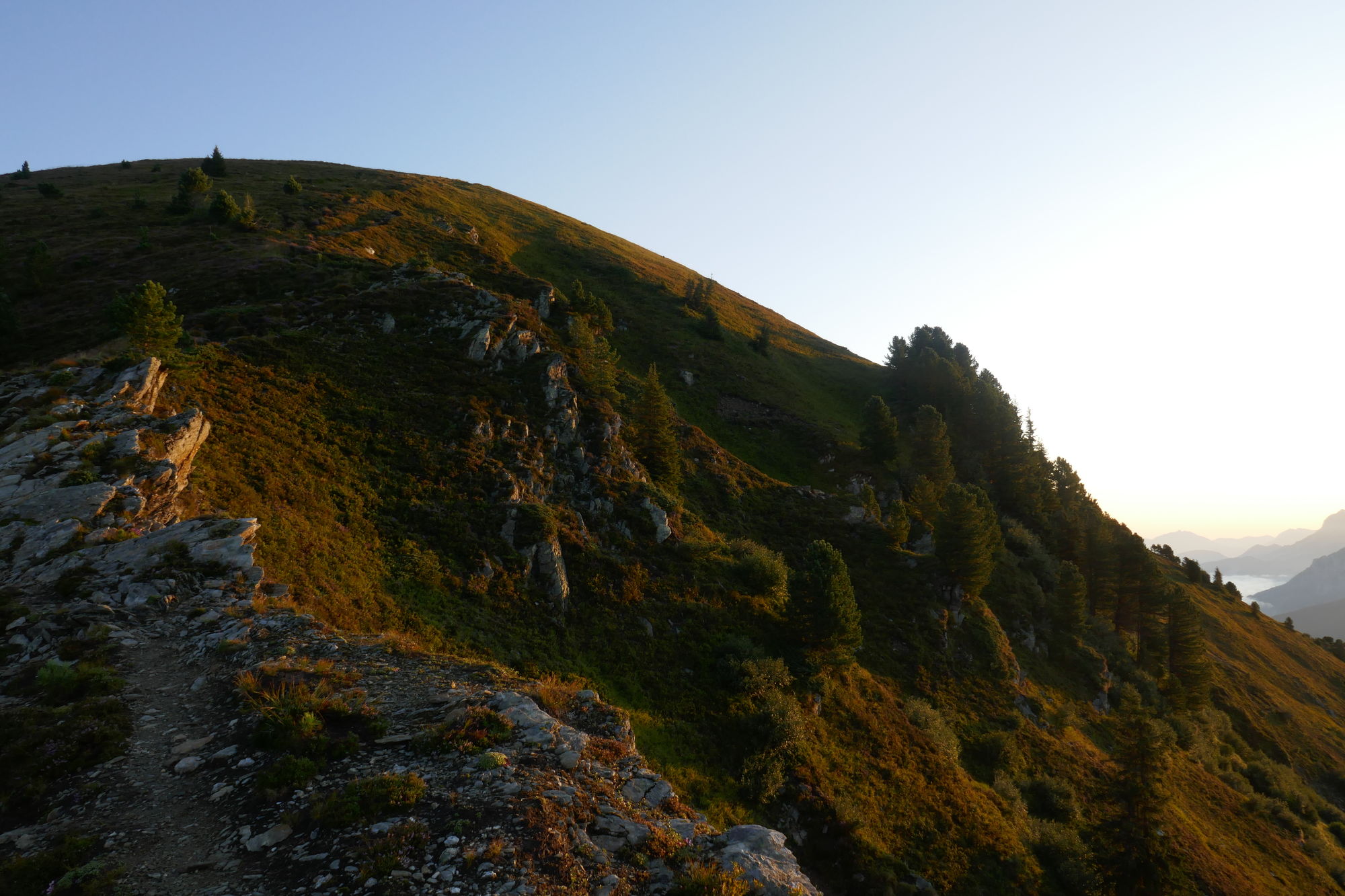
© Christian Herold - Petra und Christian

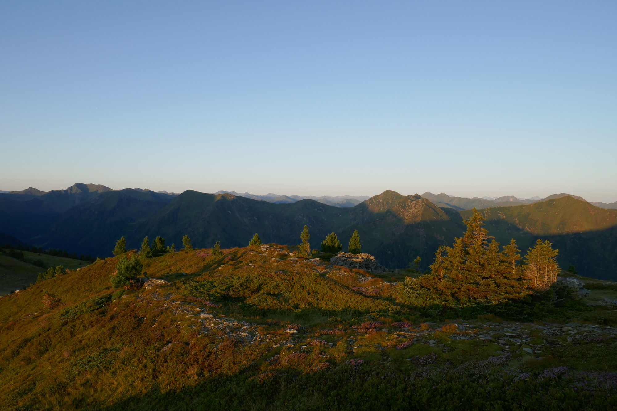
© Christian Herold - Petra und Christian

© Christian Herold - Petra und Christian

© Christian Herold - Petra und Christian

© Christian Herold - Petra und Christian

© Christian Herold - Petra und Christian

© Christian Herold - Petra und Christian

© Christian Herold - Petra und Christian
Dati percorsi
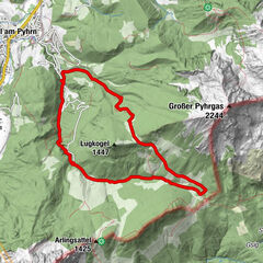
20,5km
752
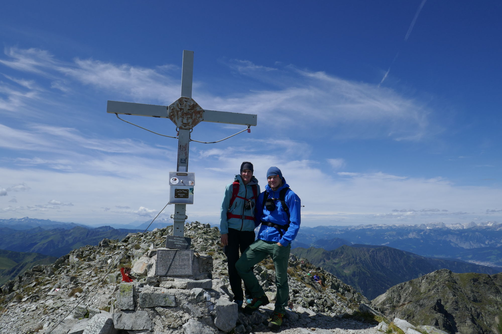
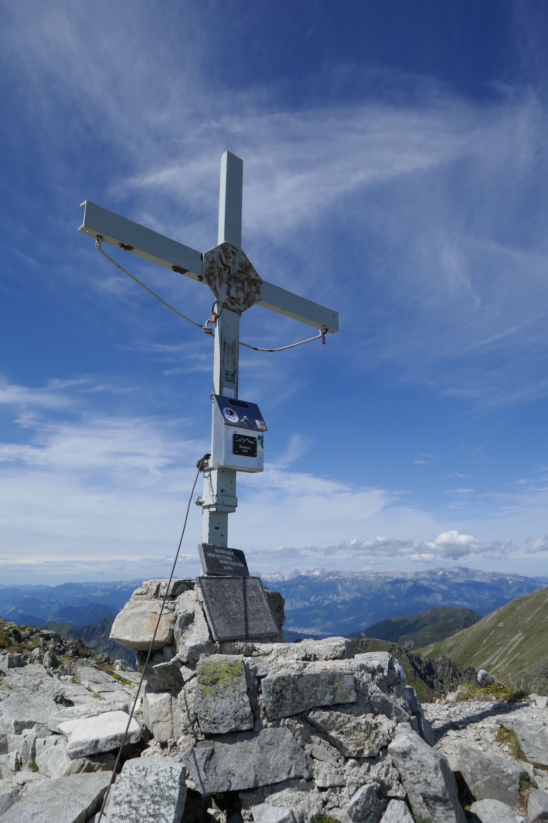
- 2.448m
2.800hm
1.600hm
12:00h
- Descrizione rapida
-
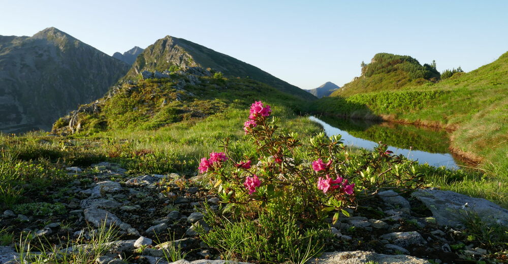
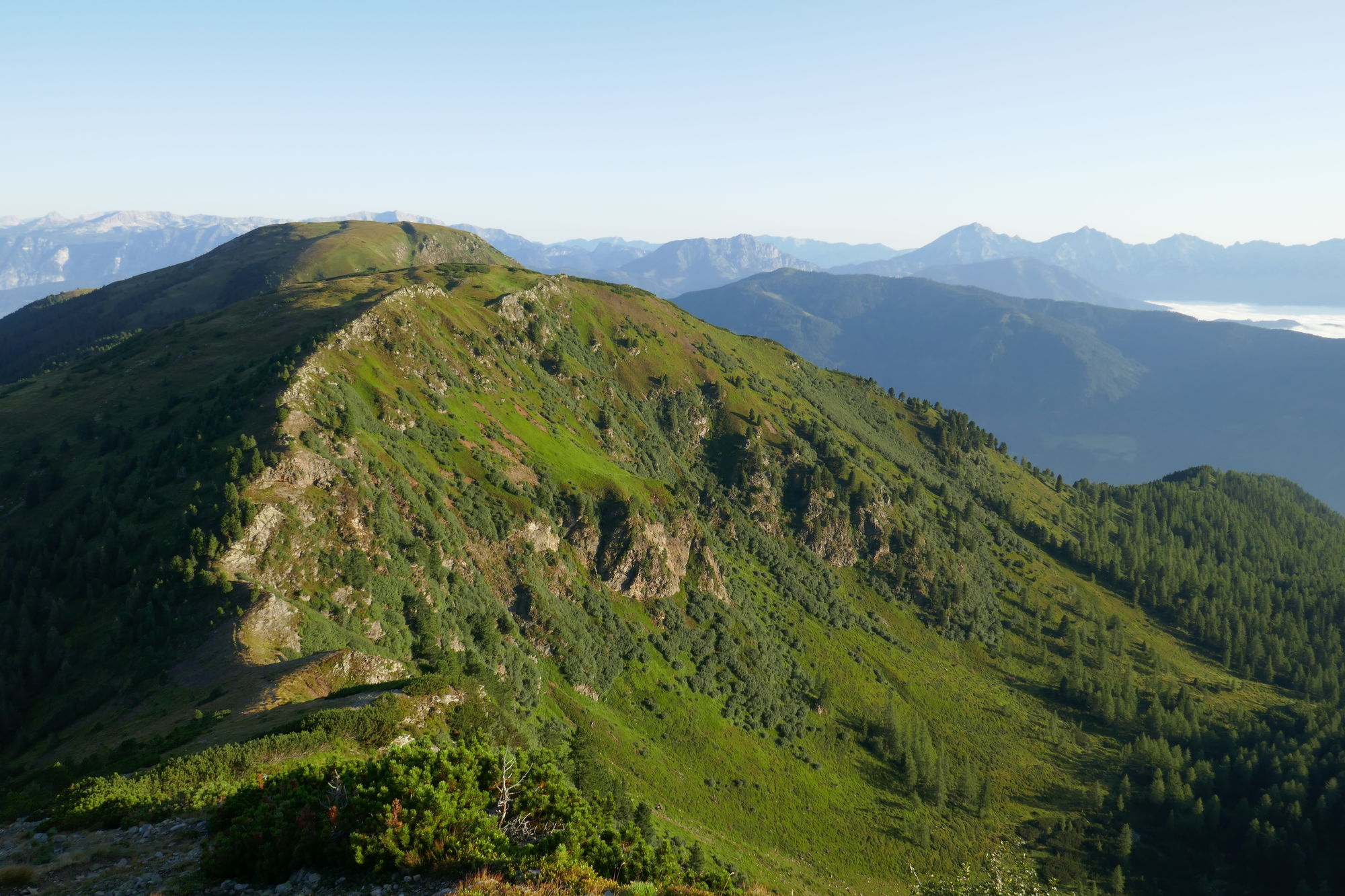
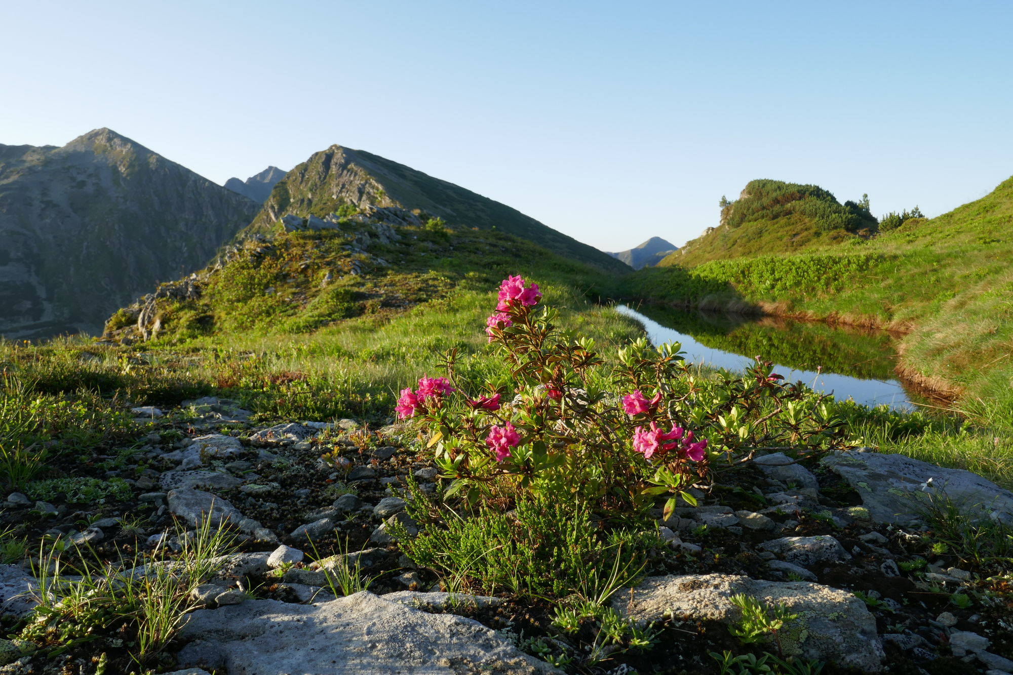
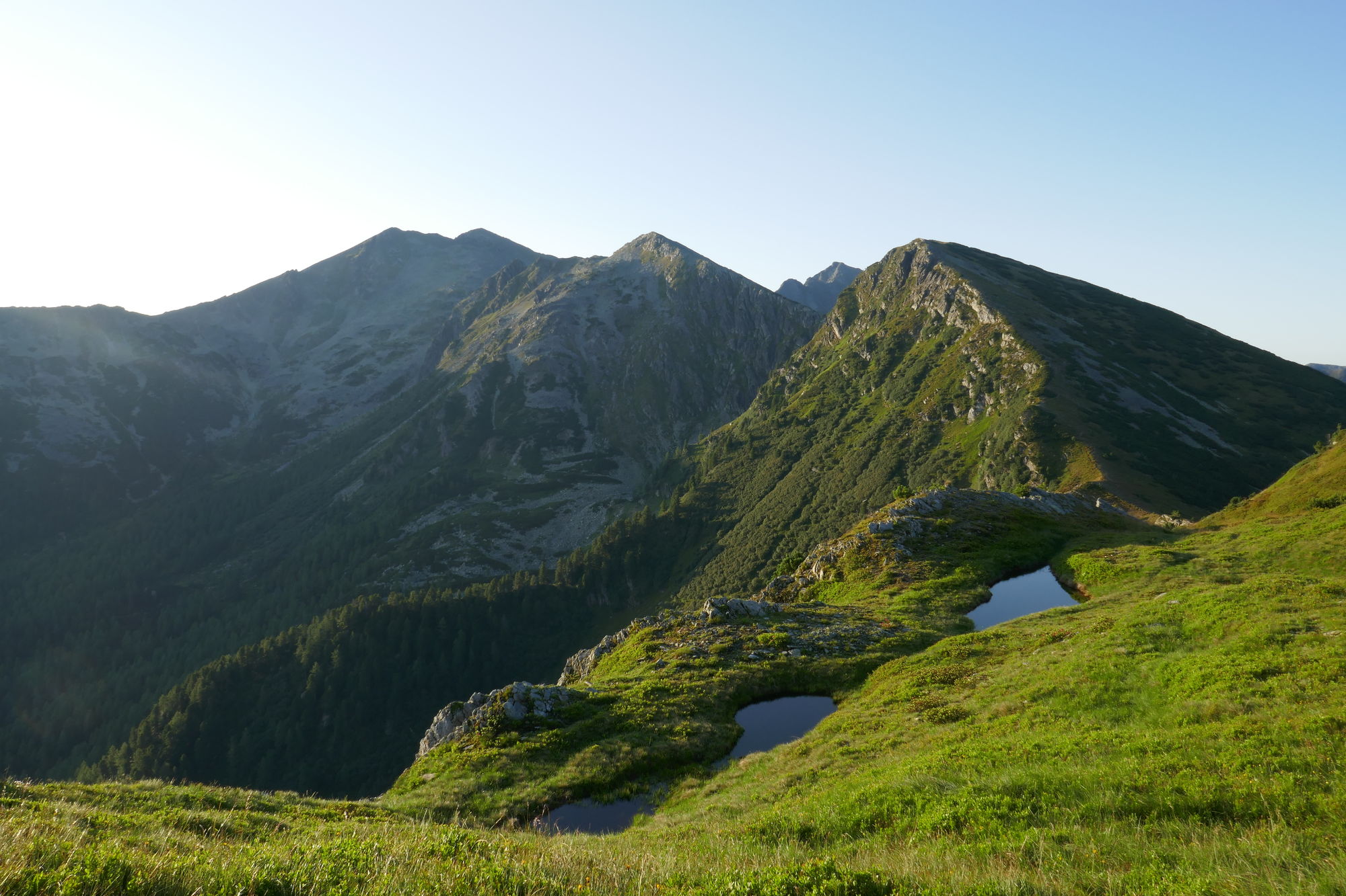
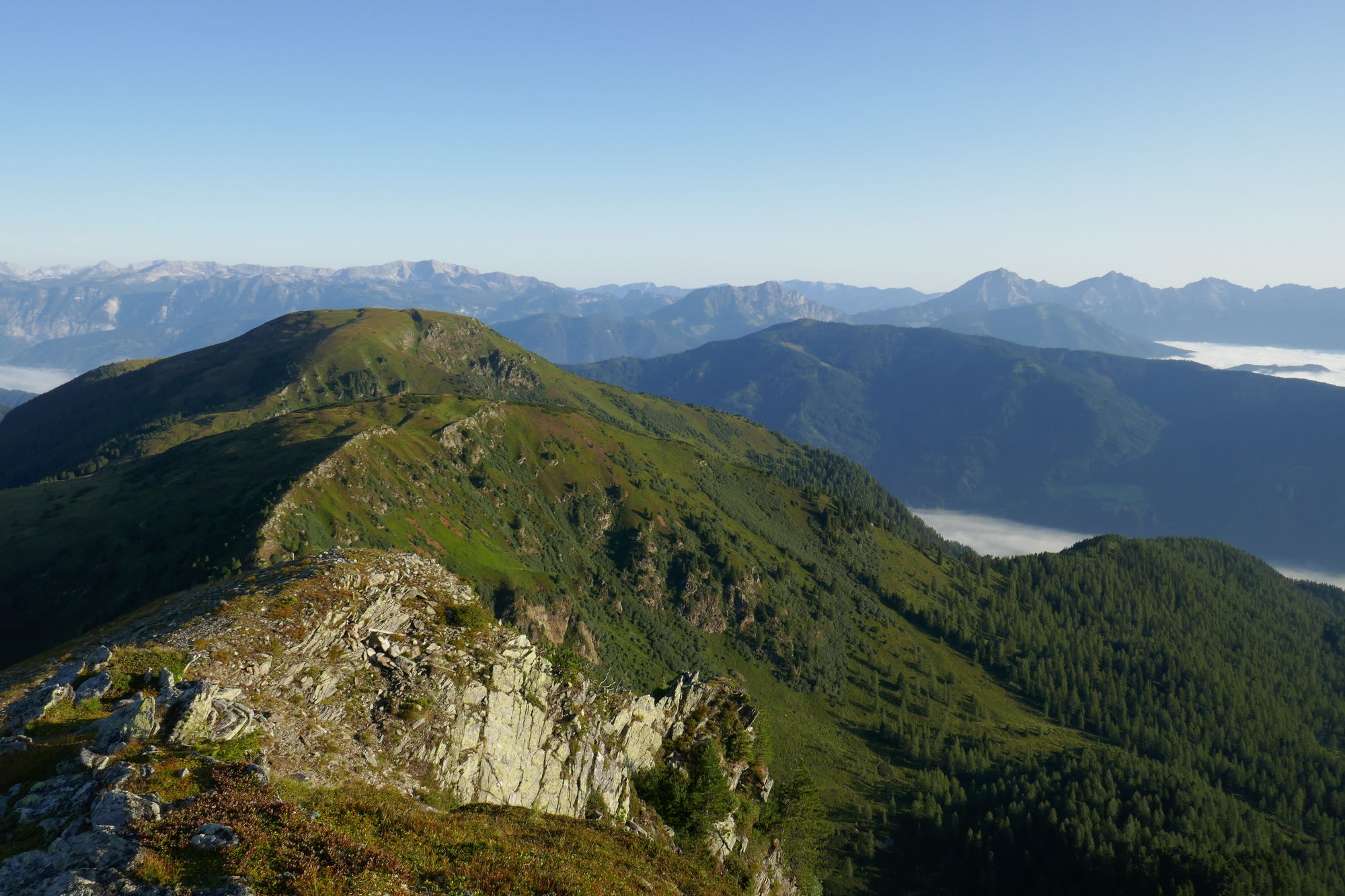
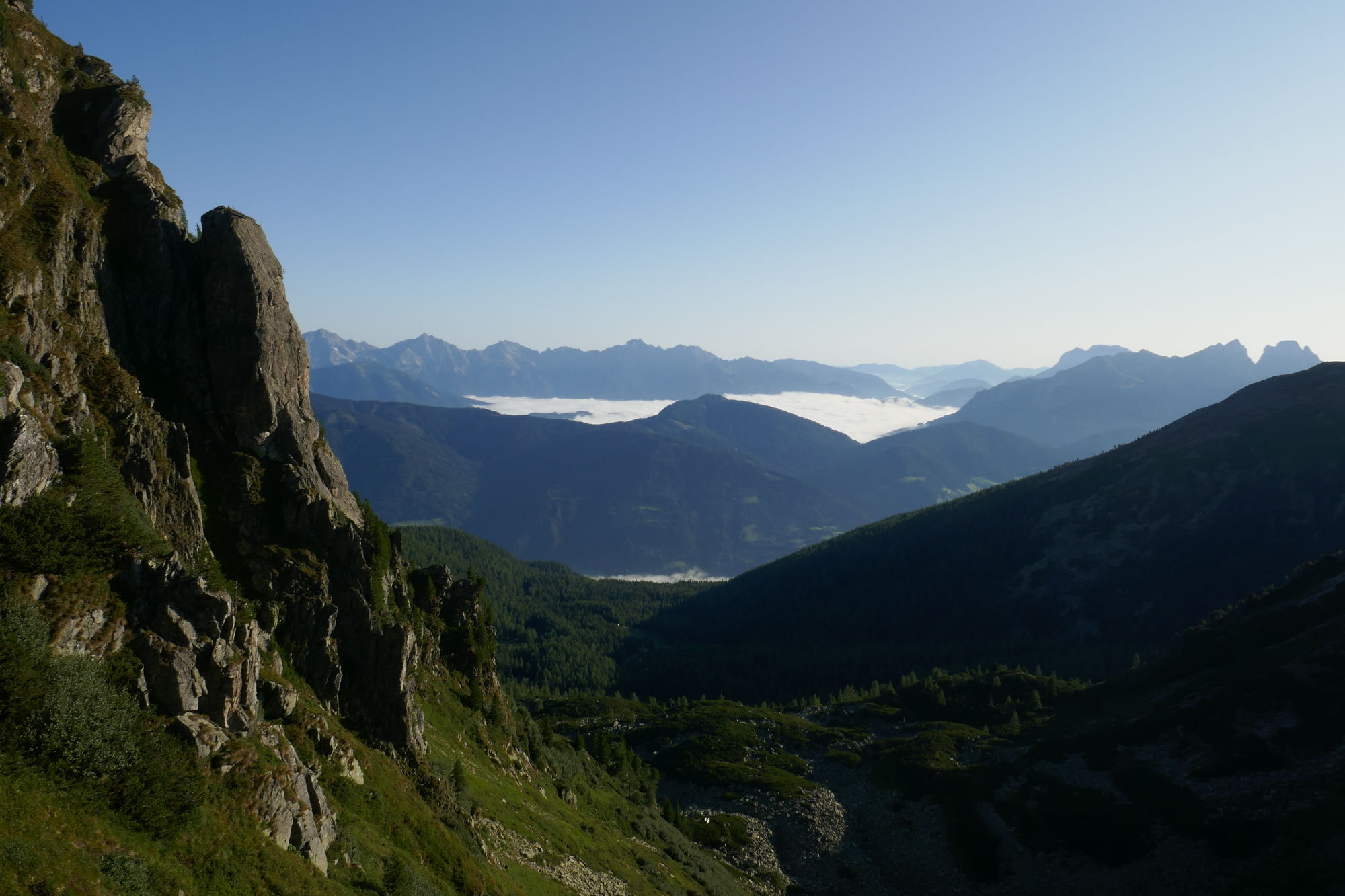
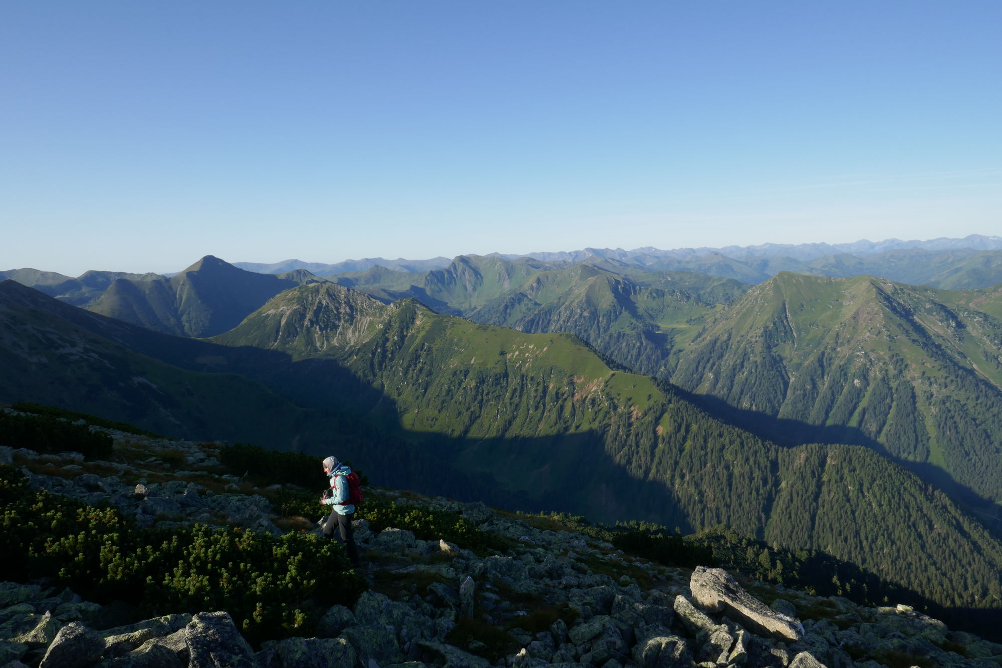
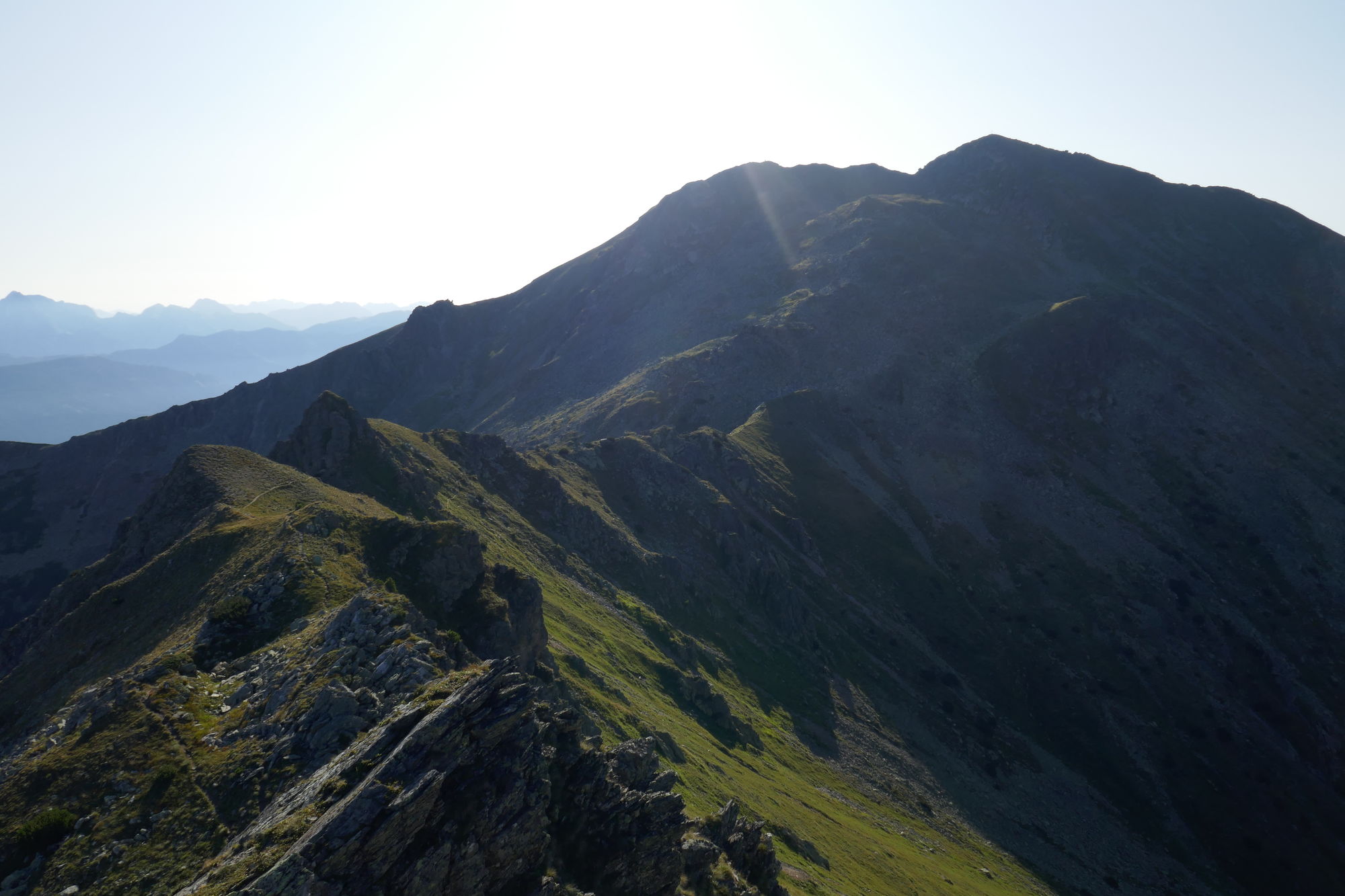
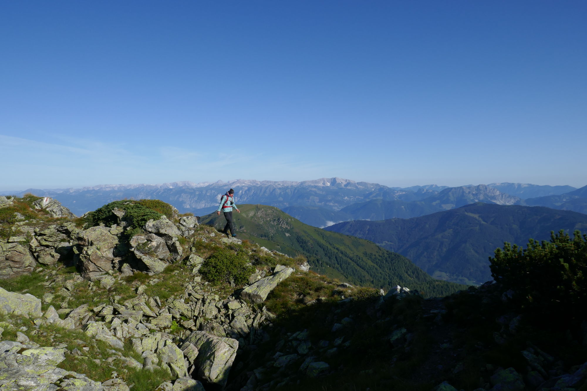
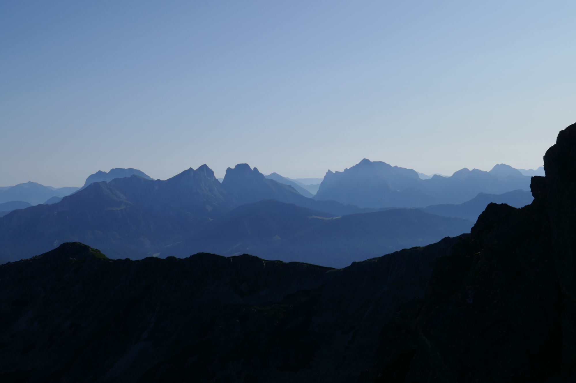
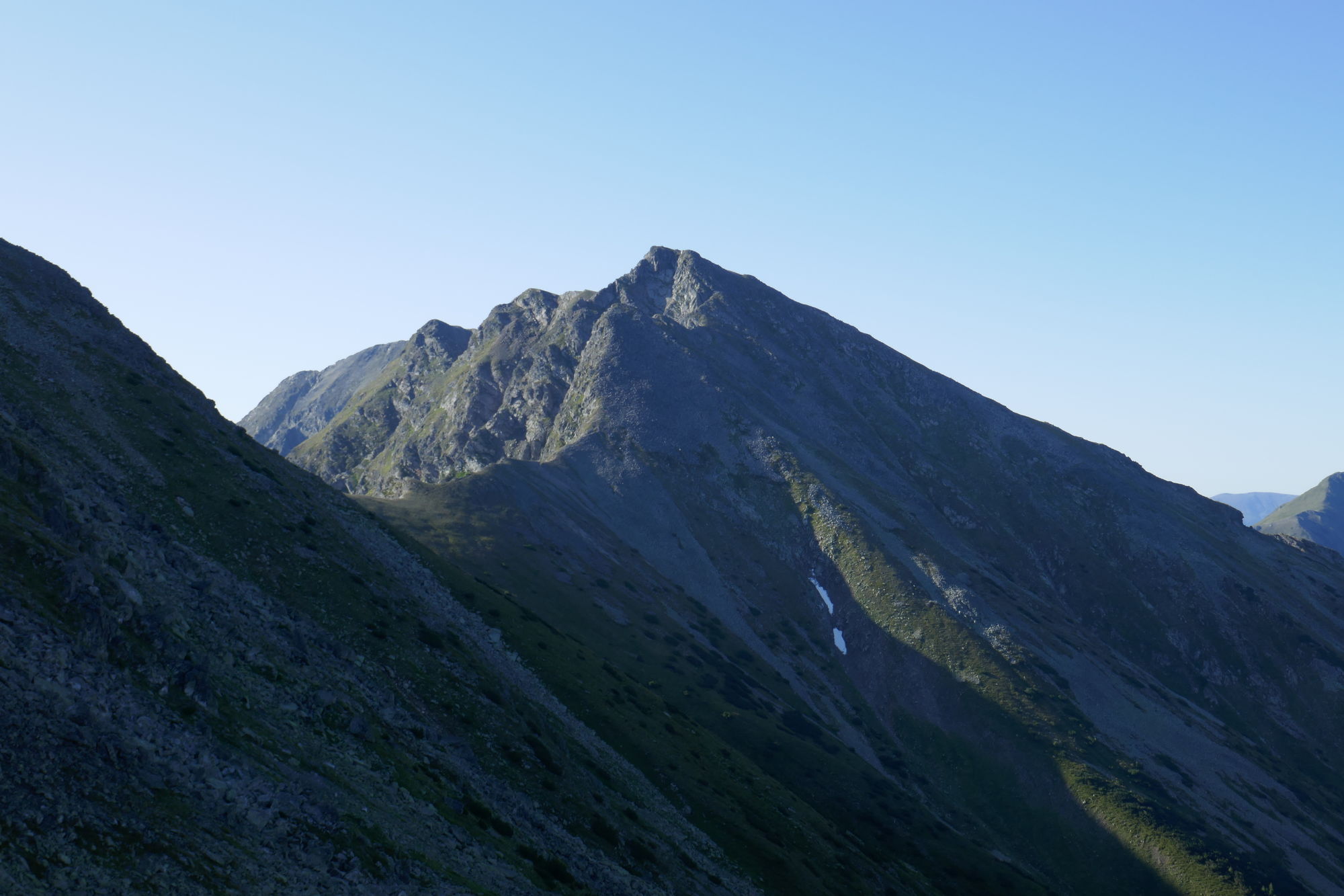
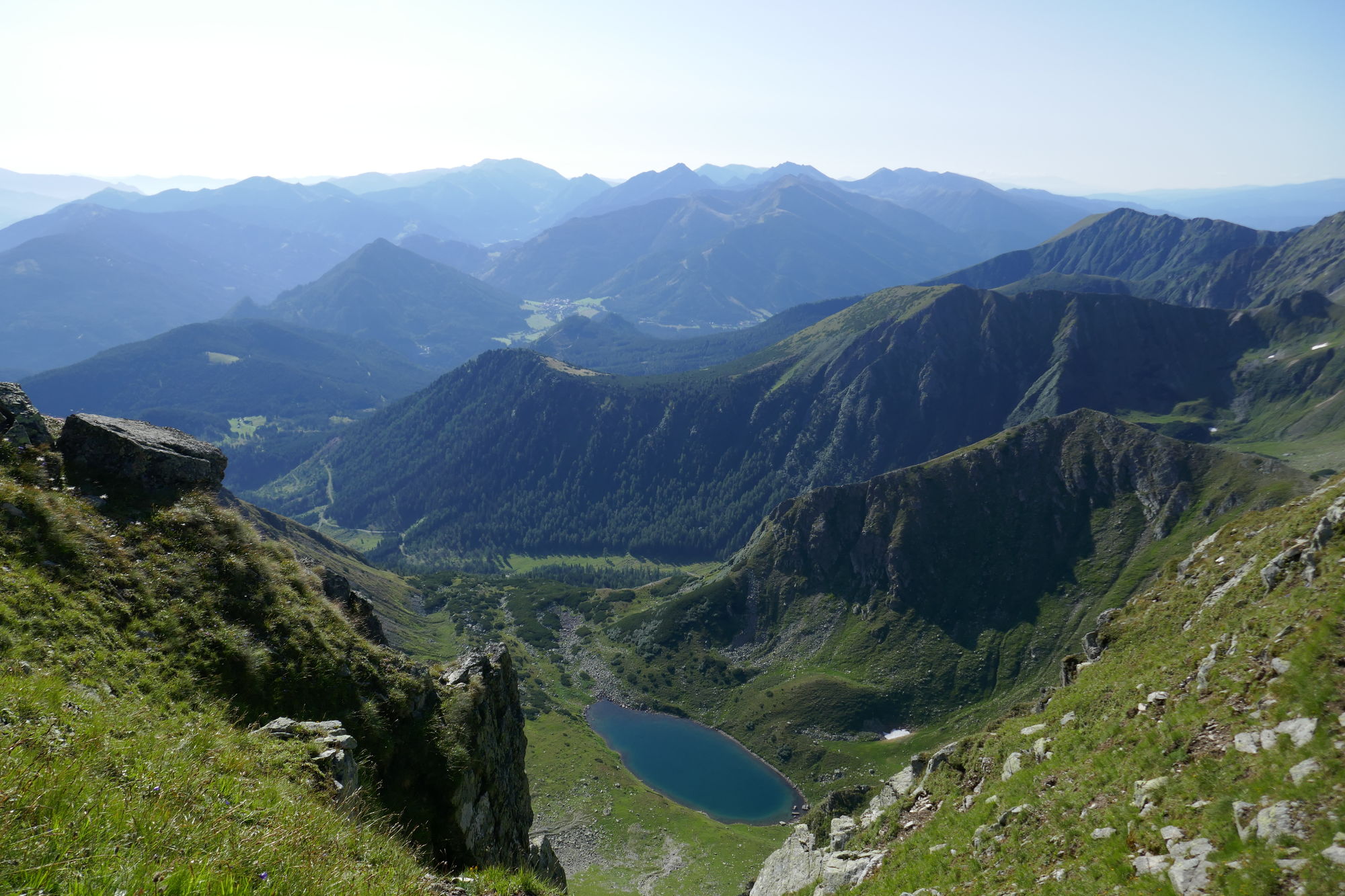
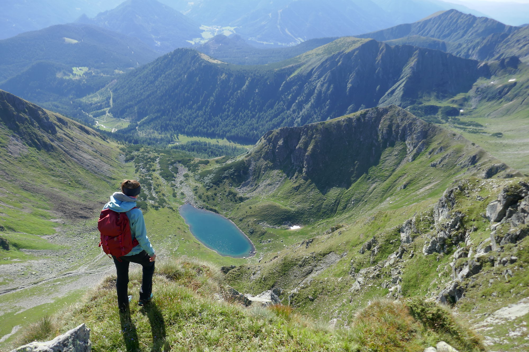
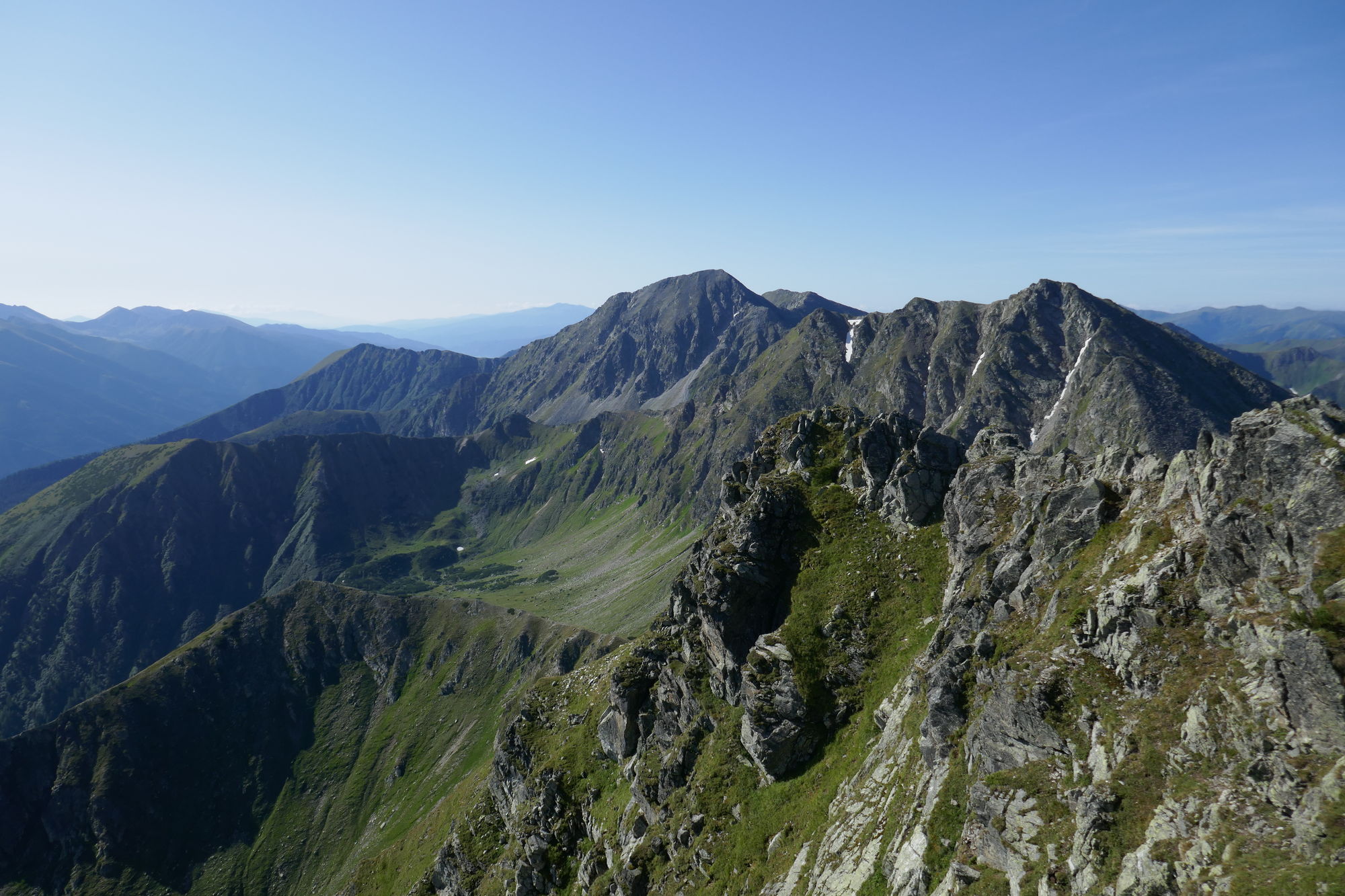
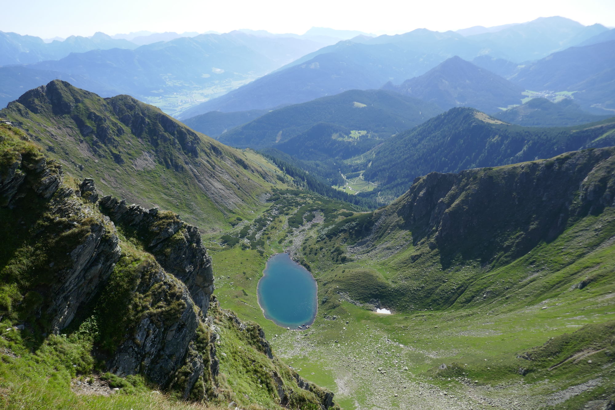
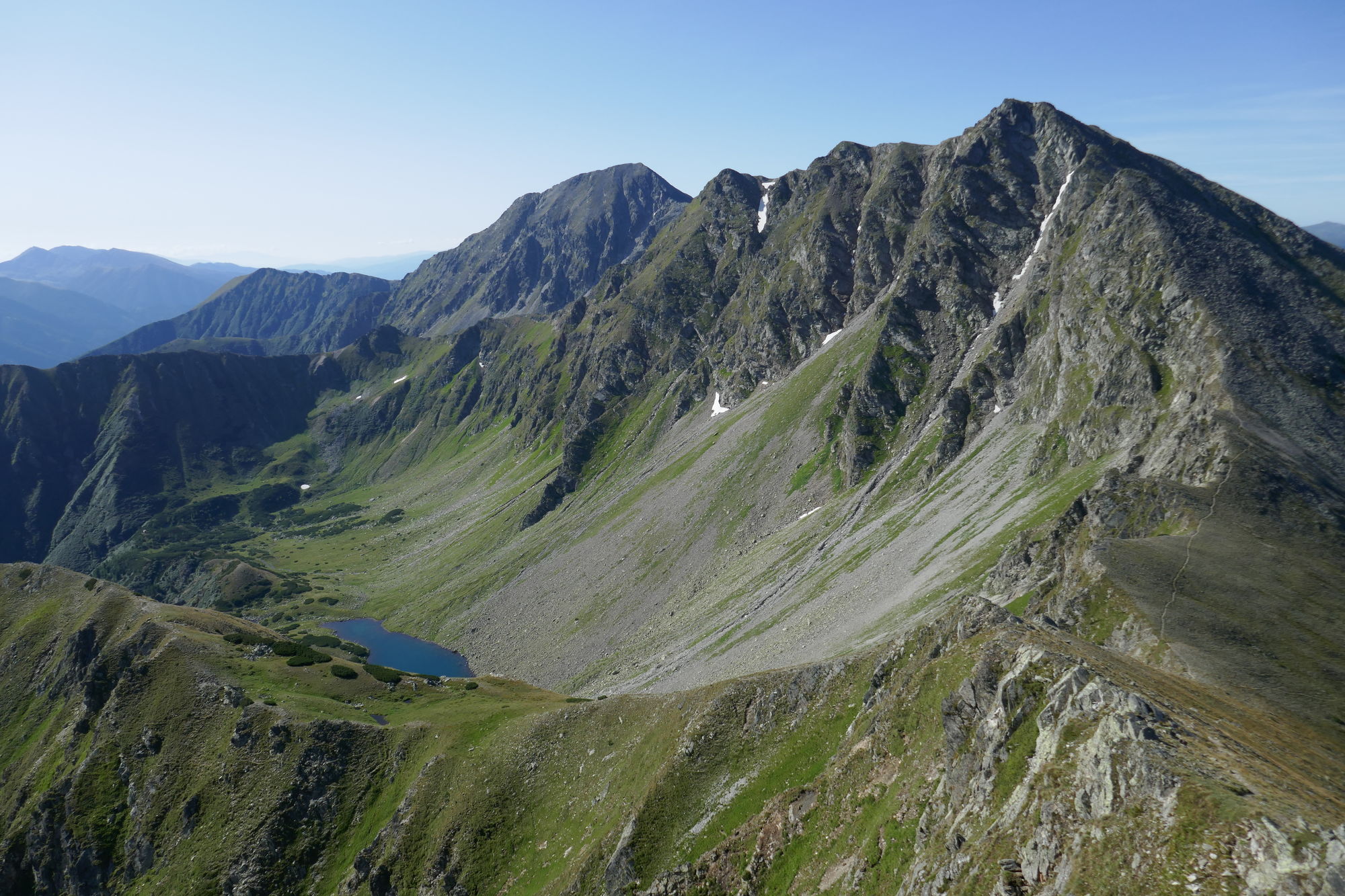
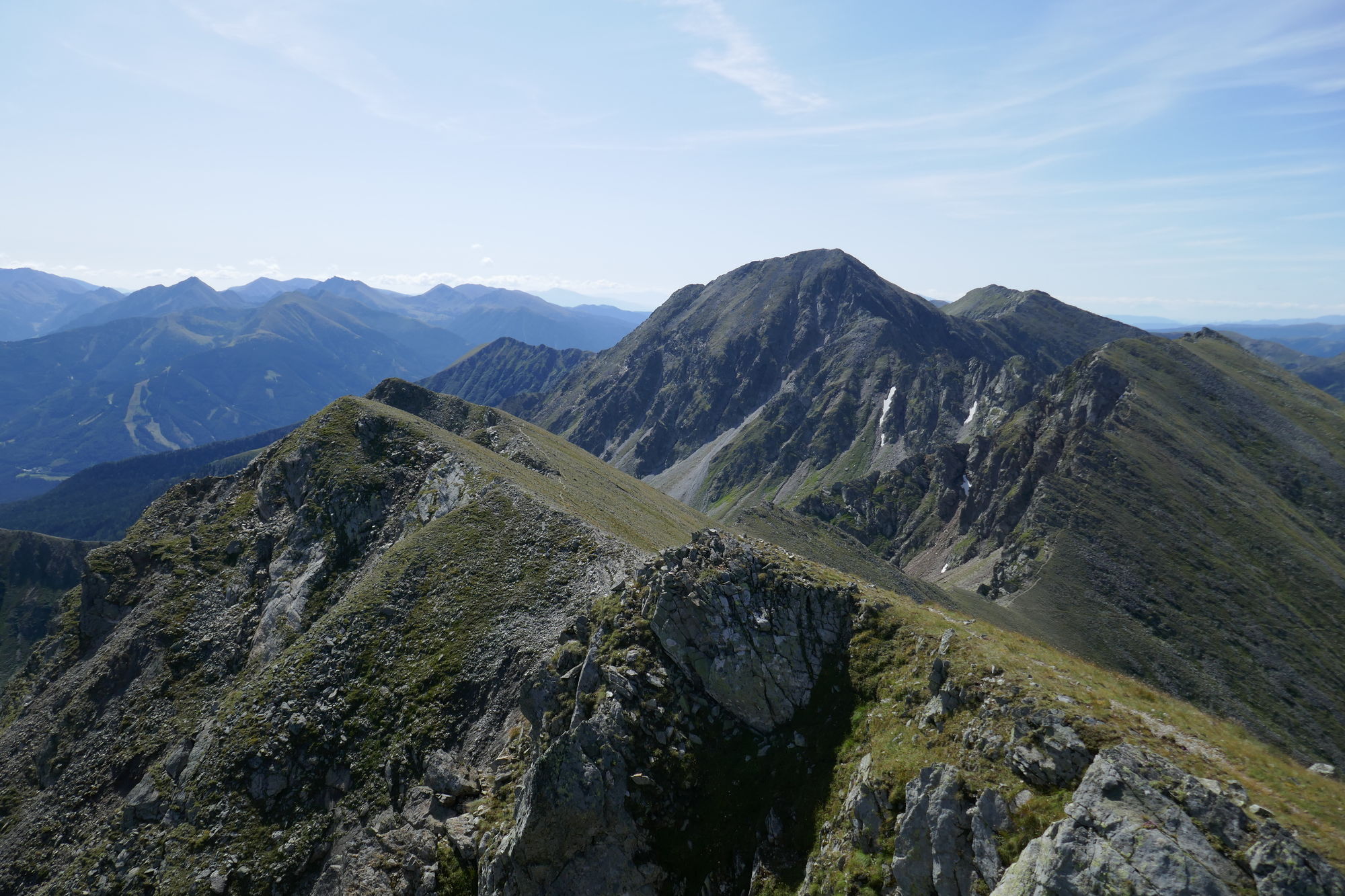
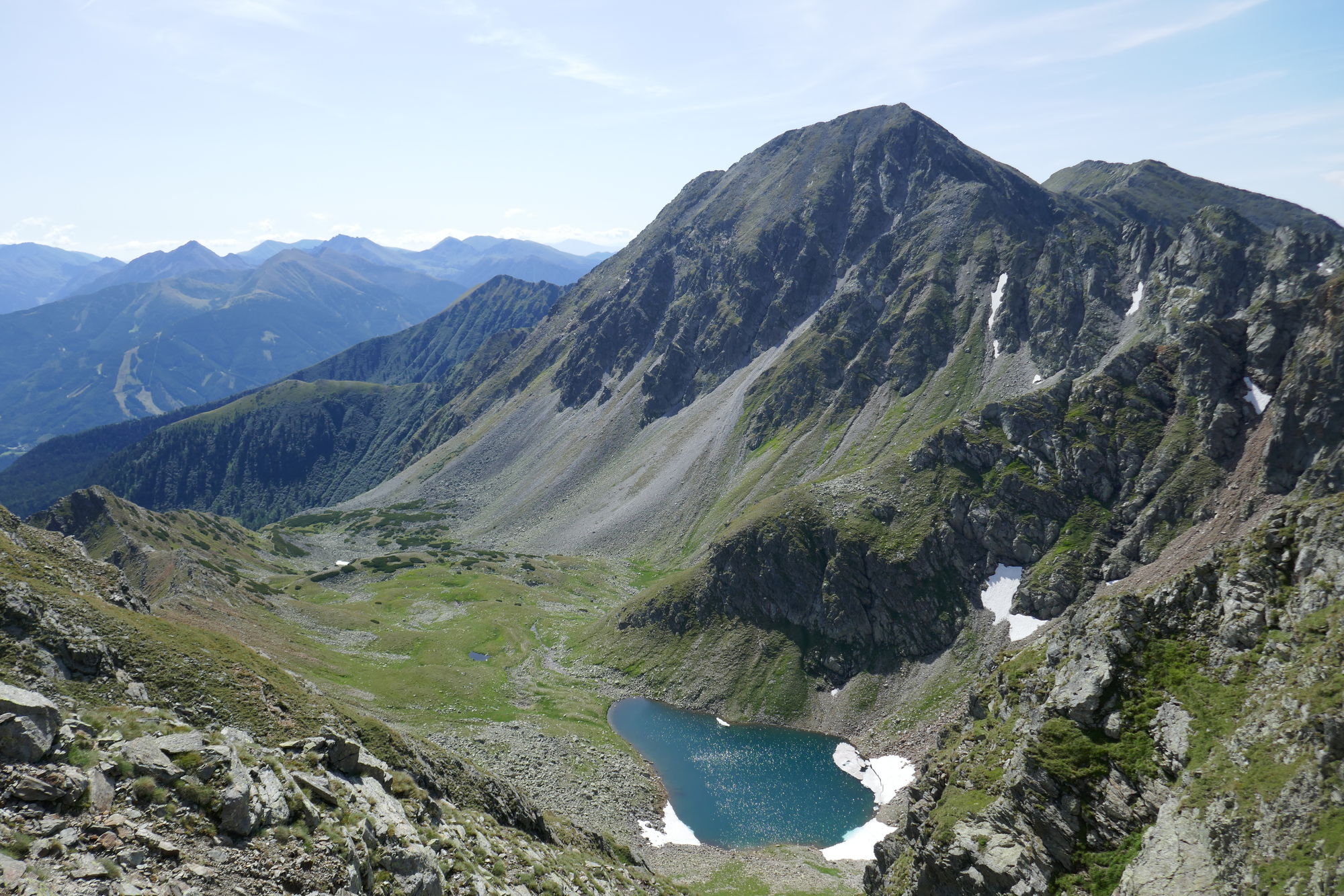
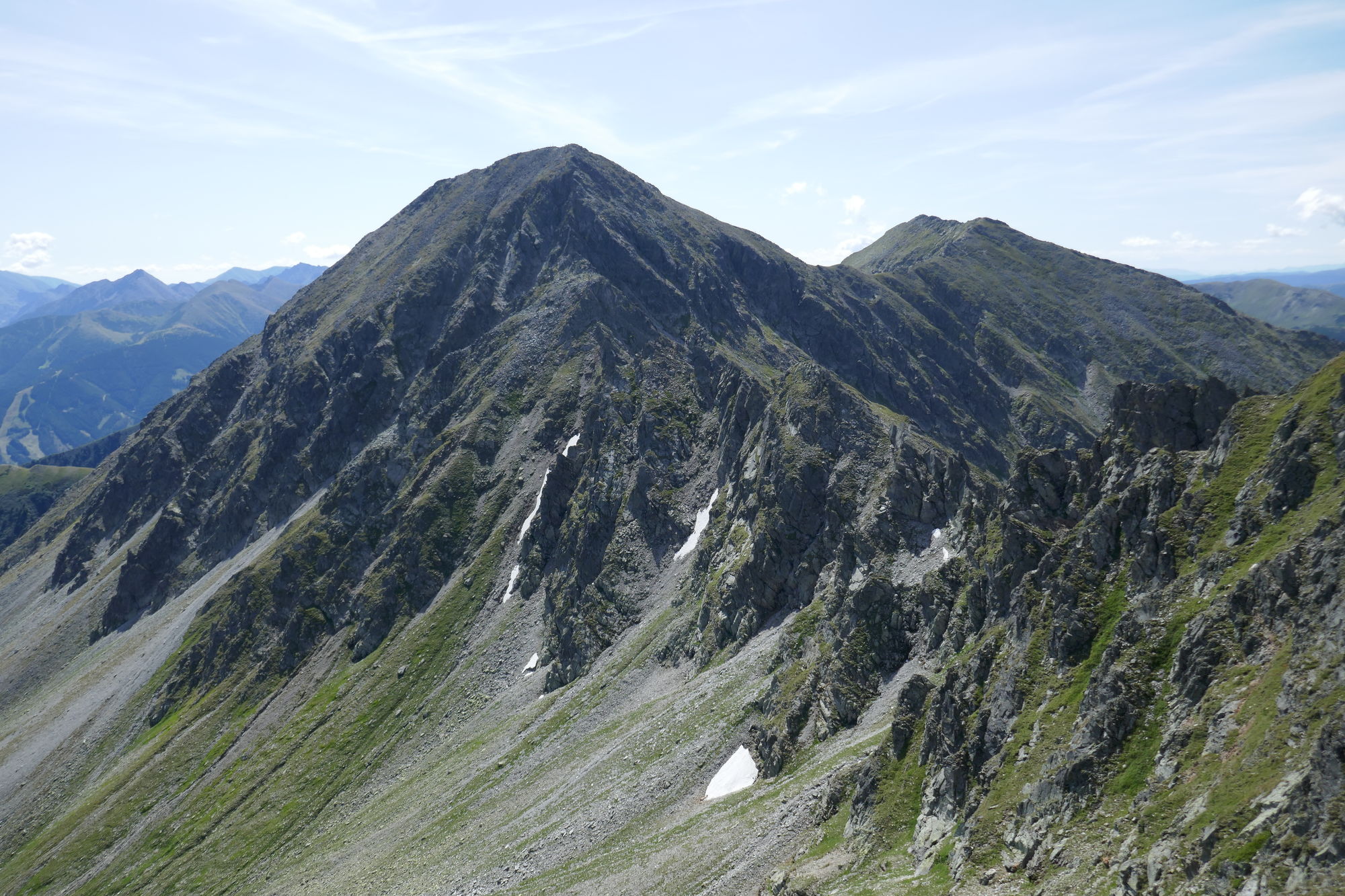
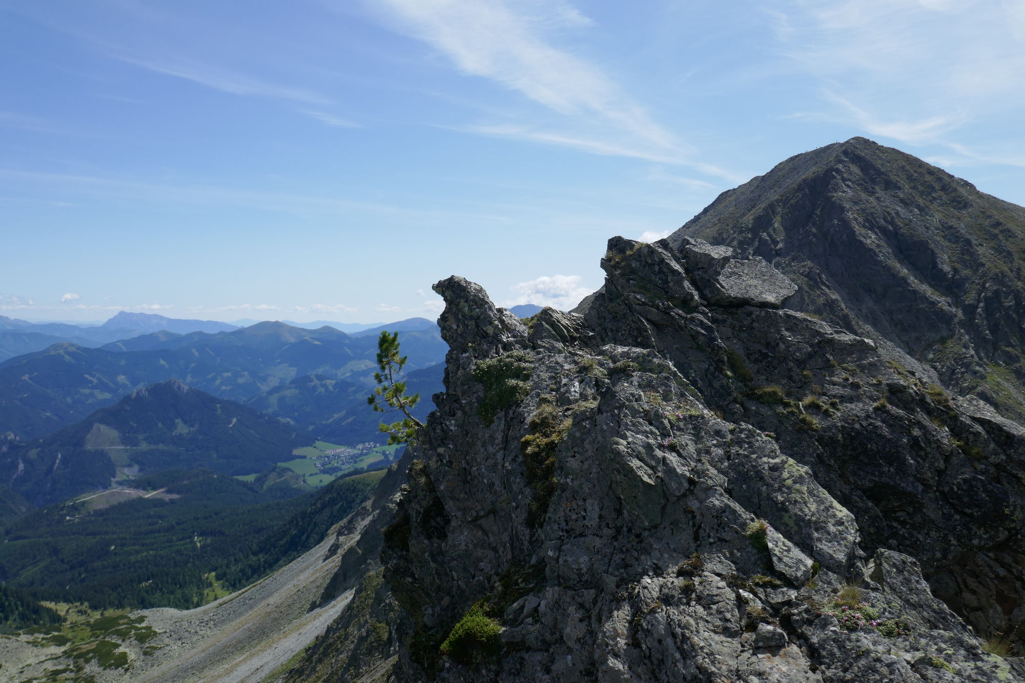
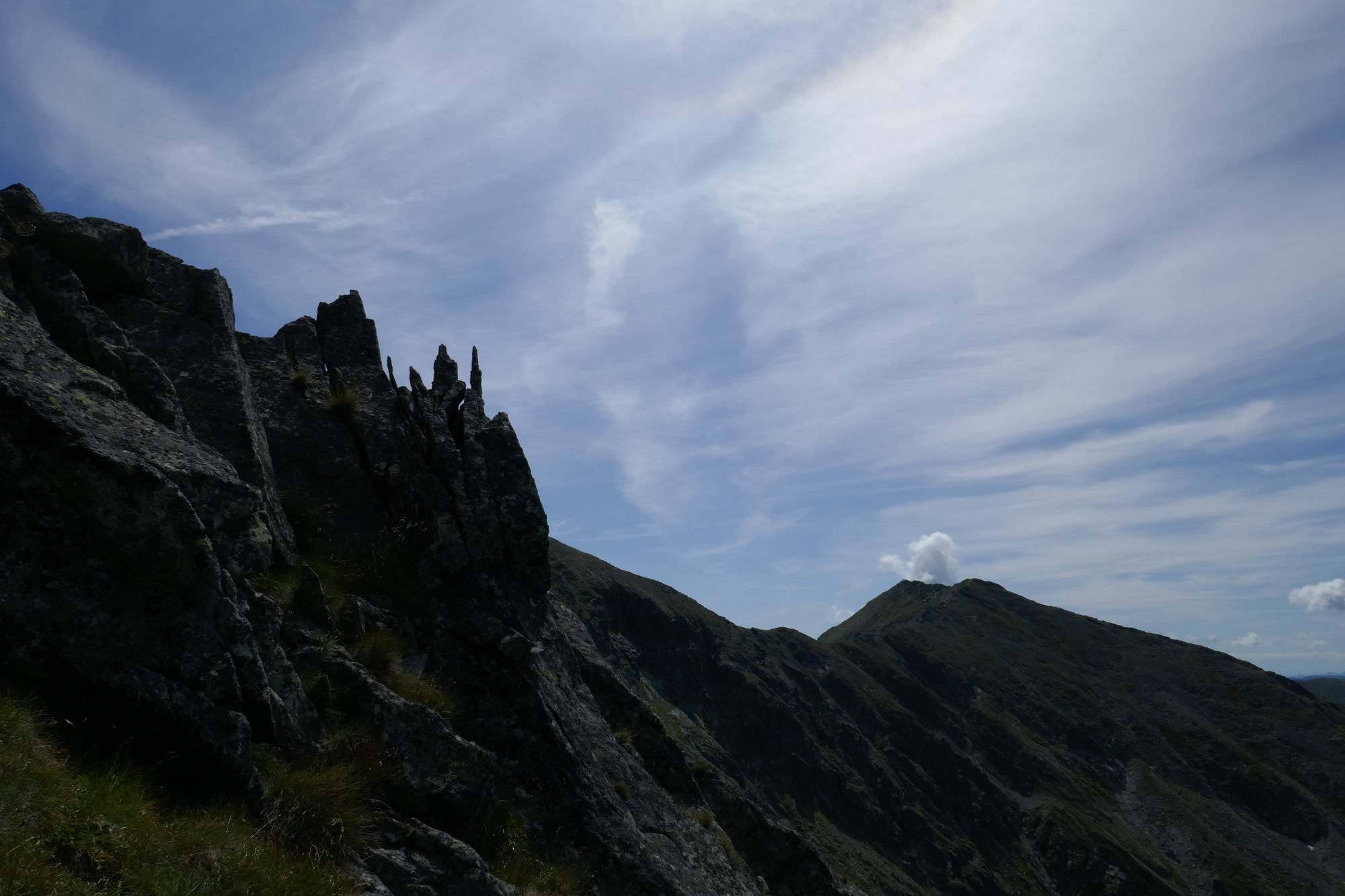
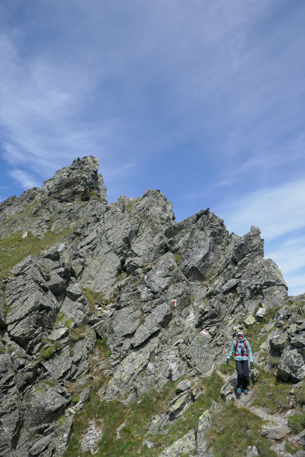
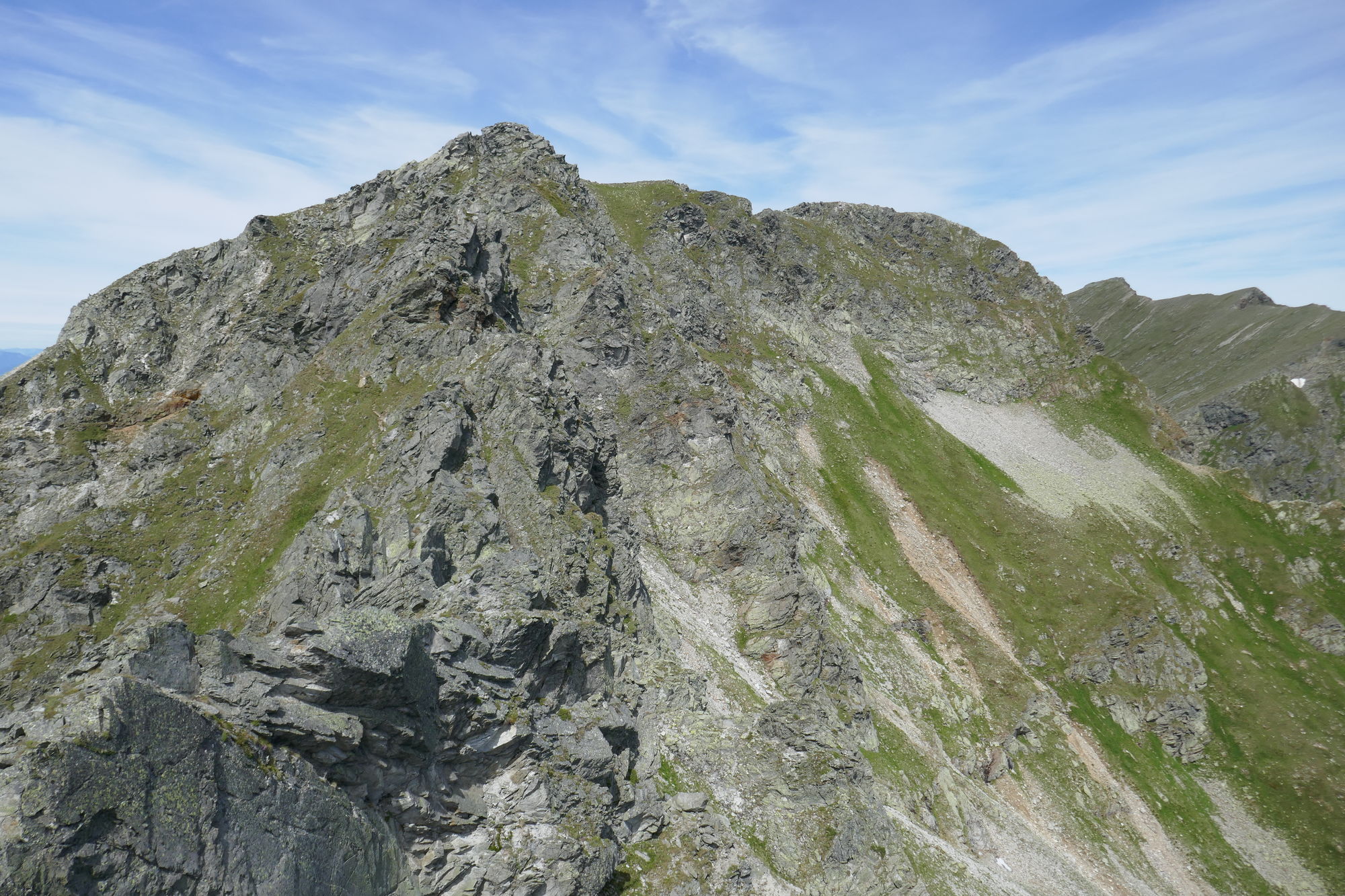
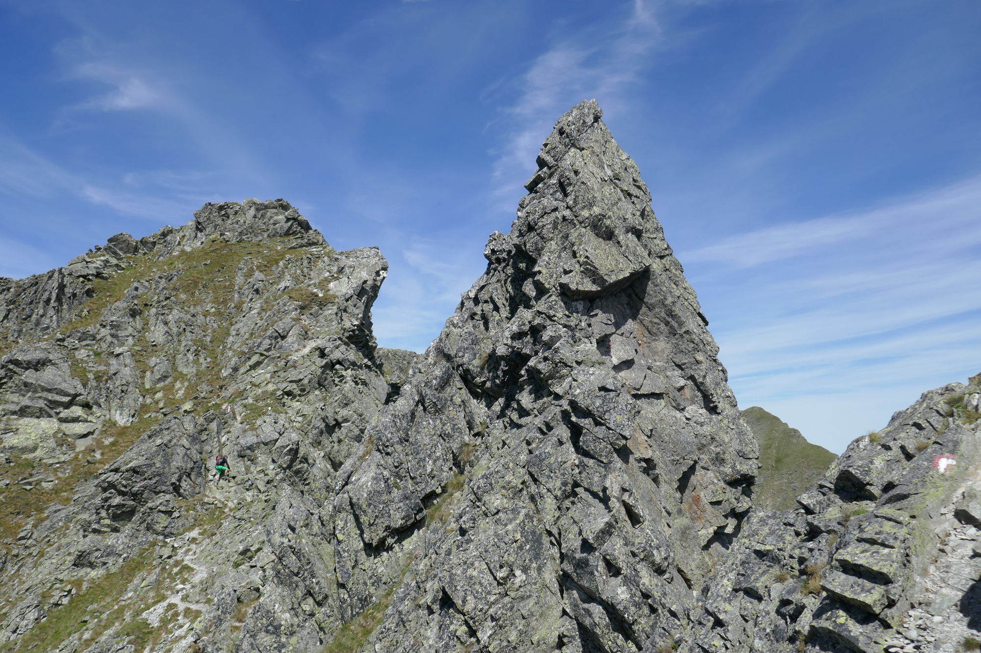
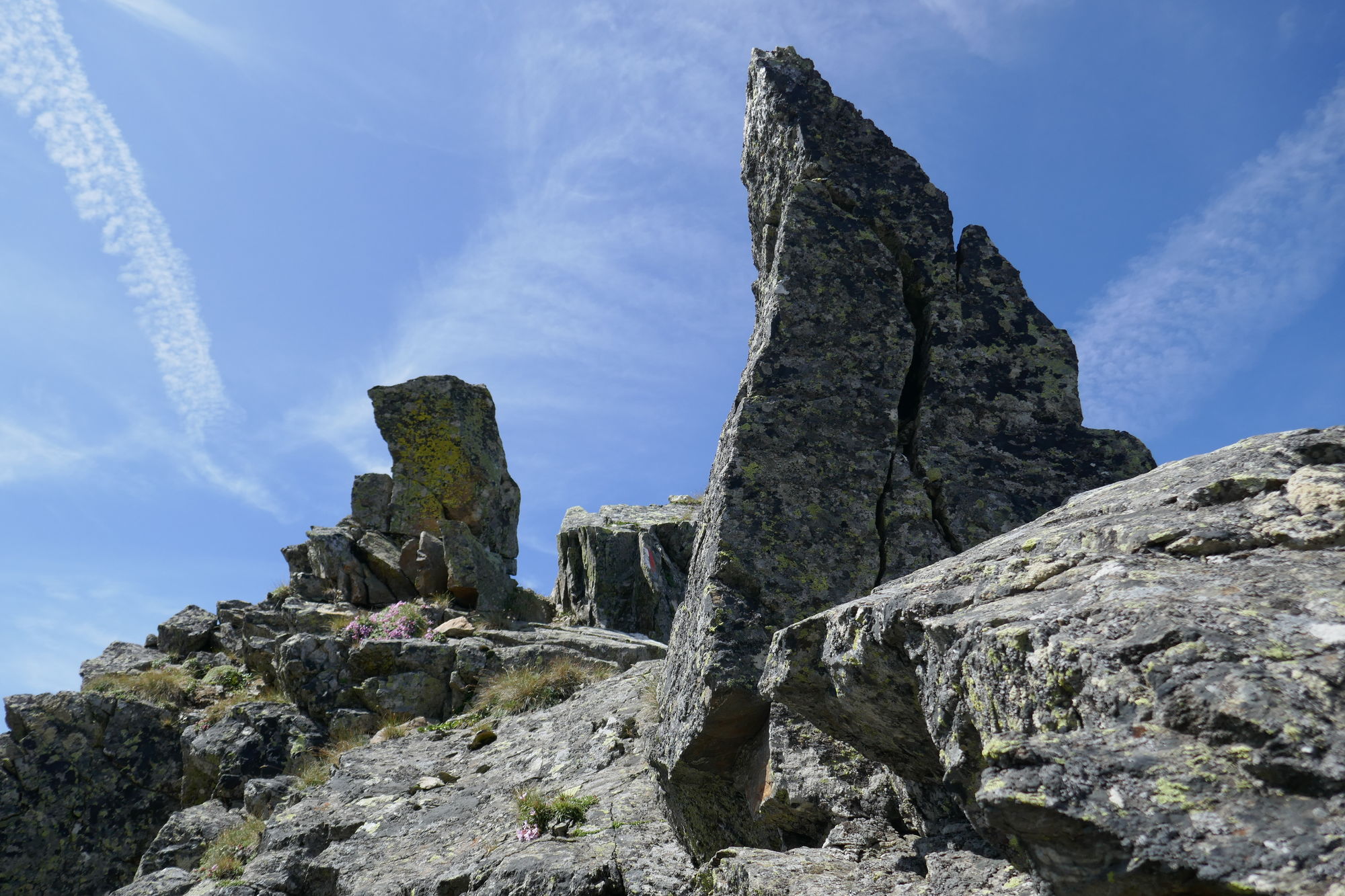
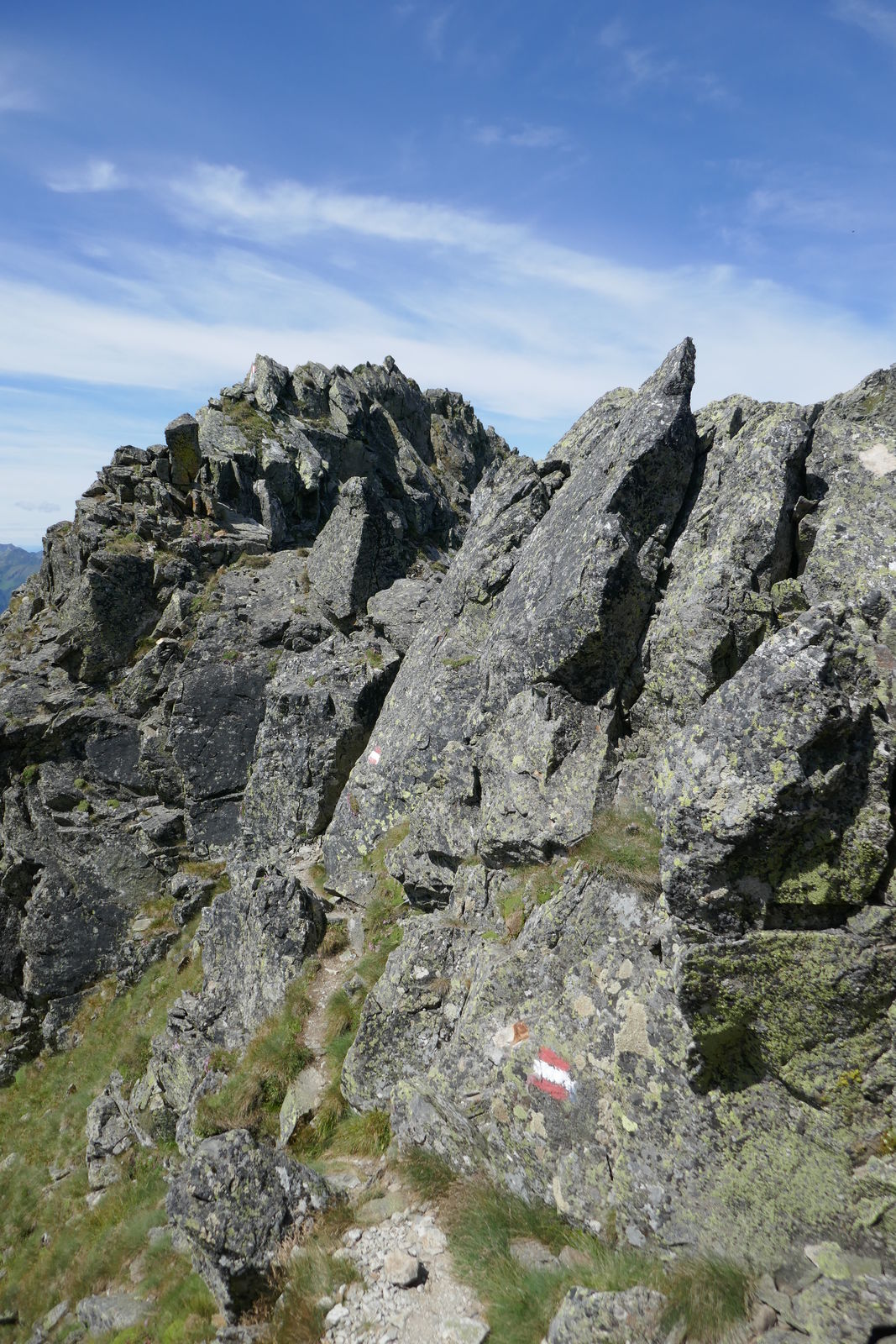
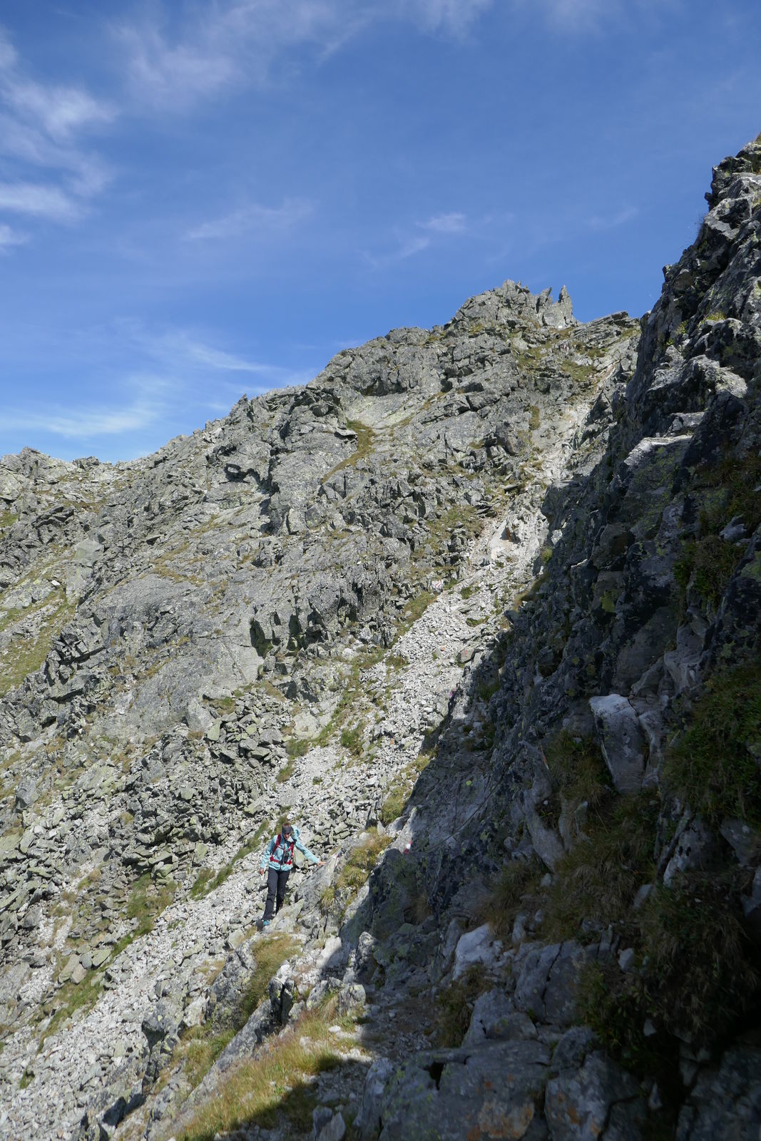
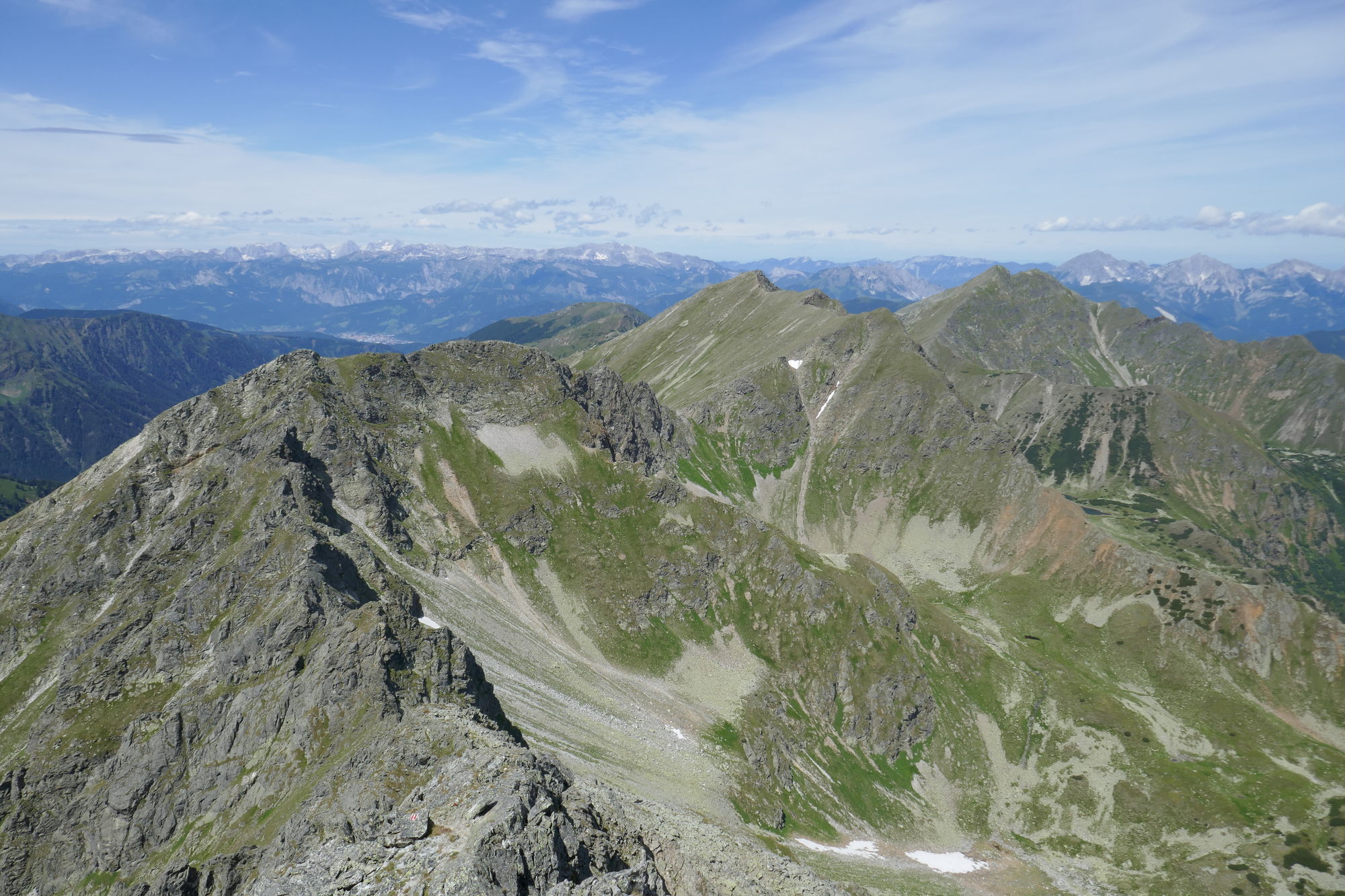
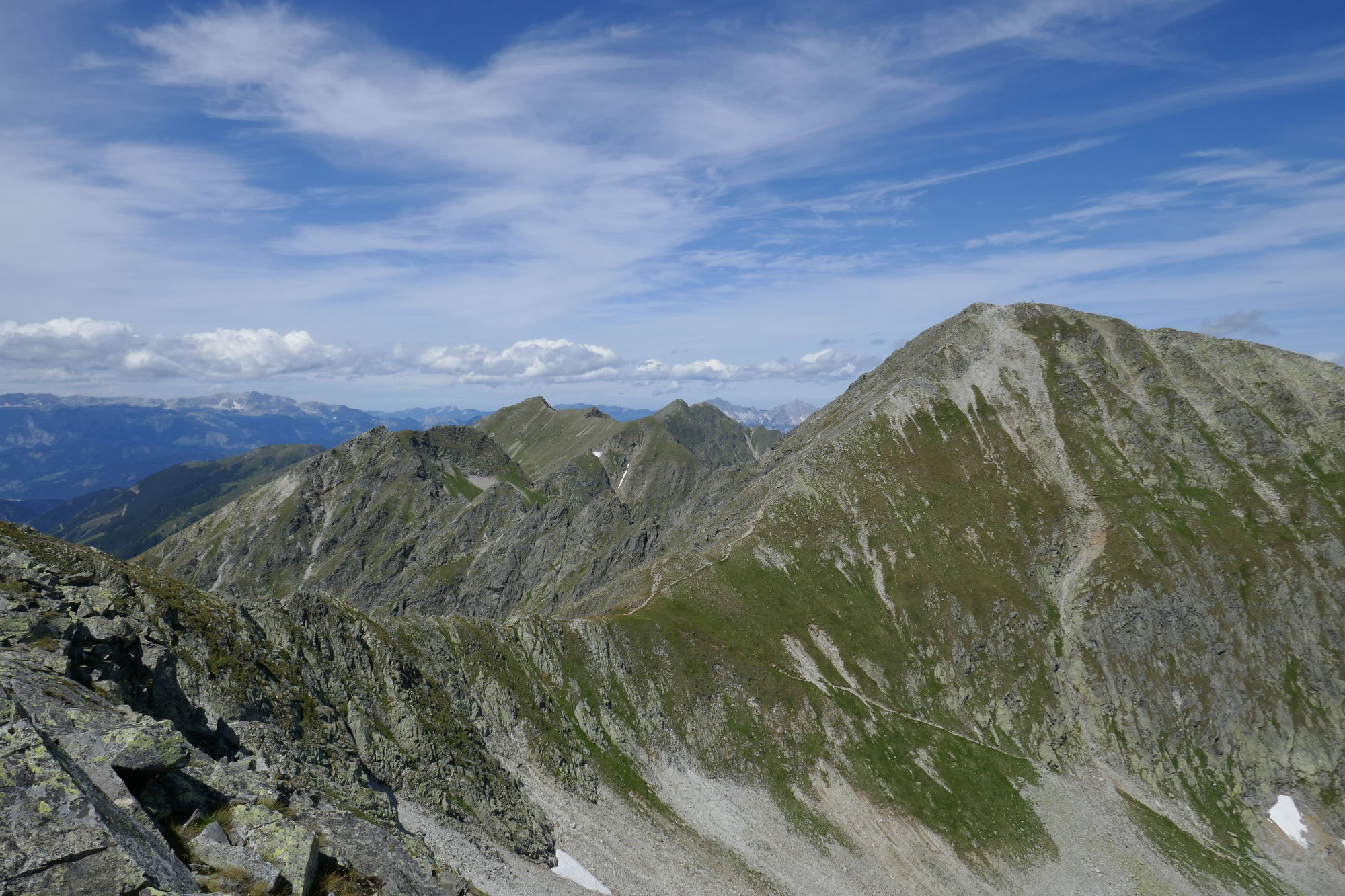
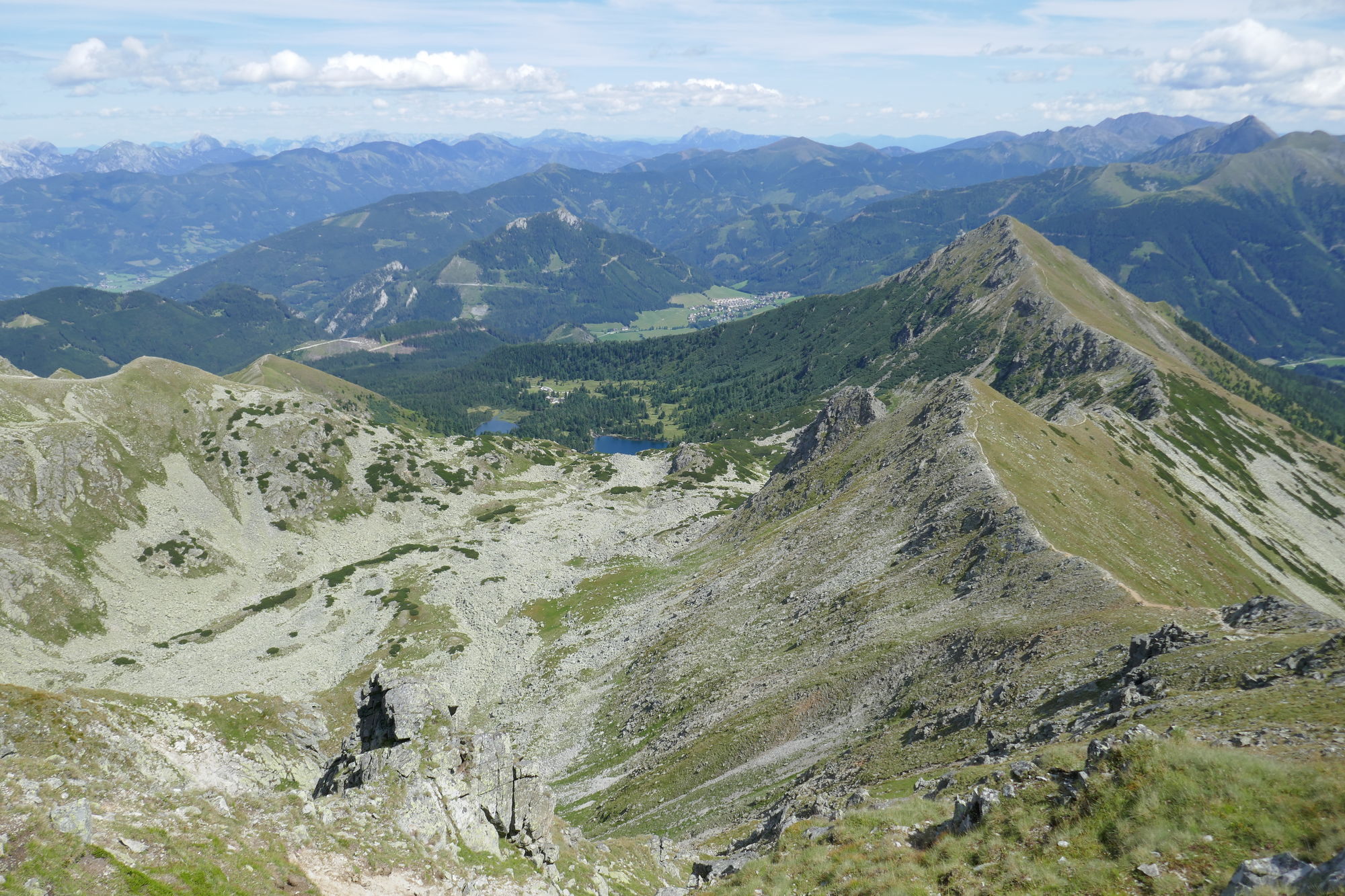
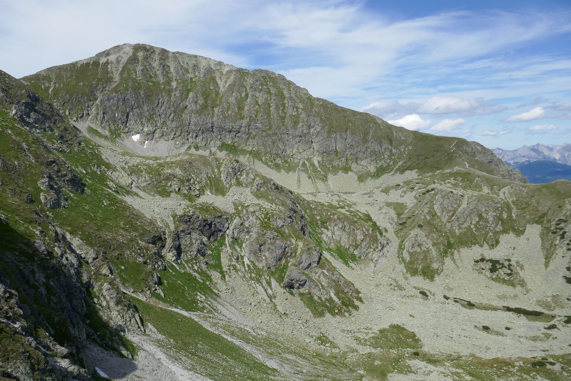
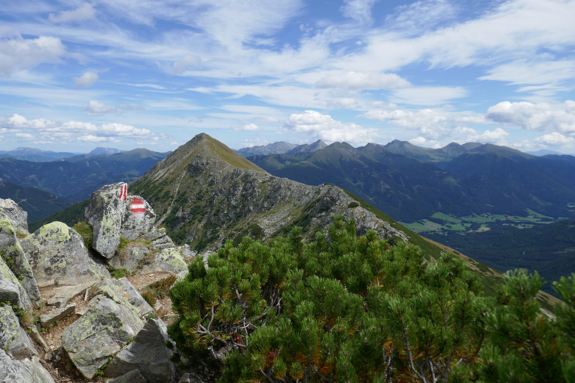
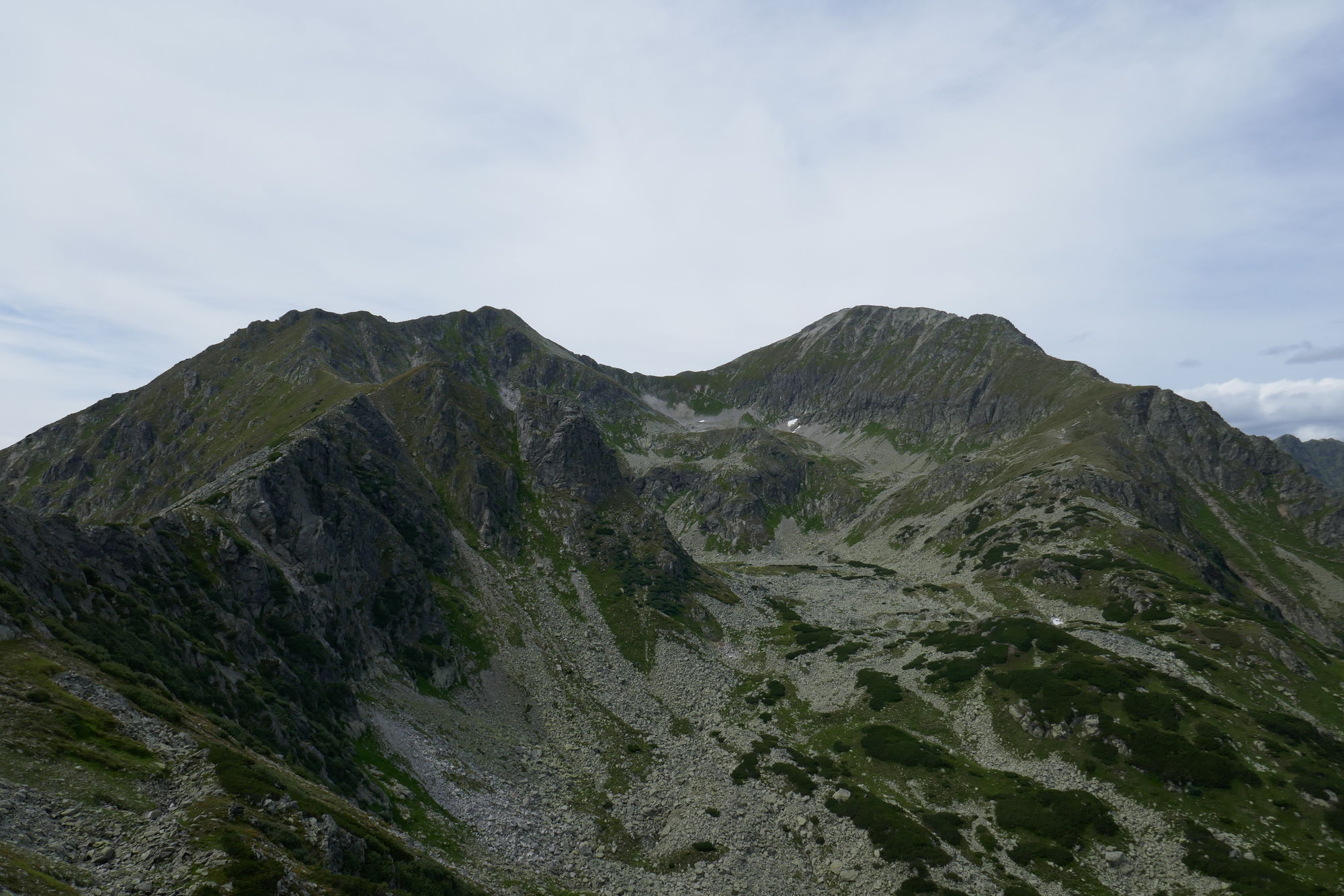
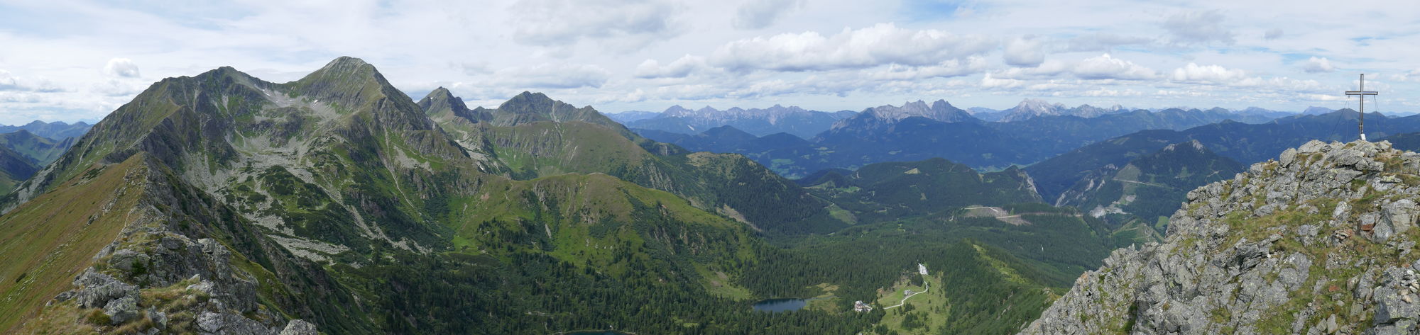
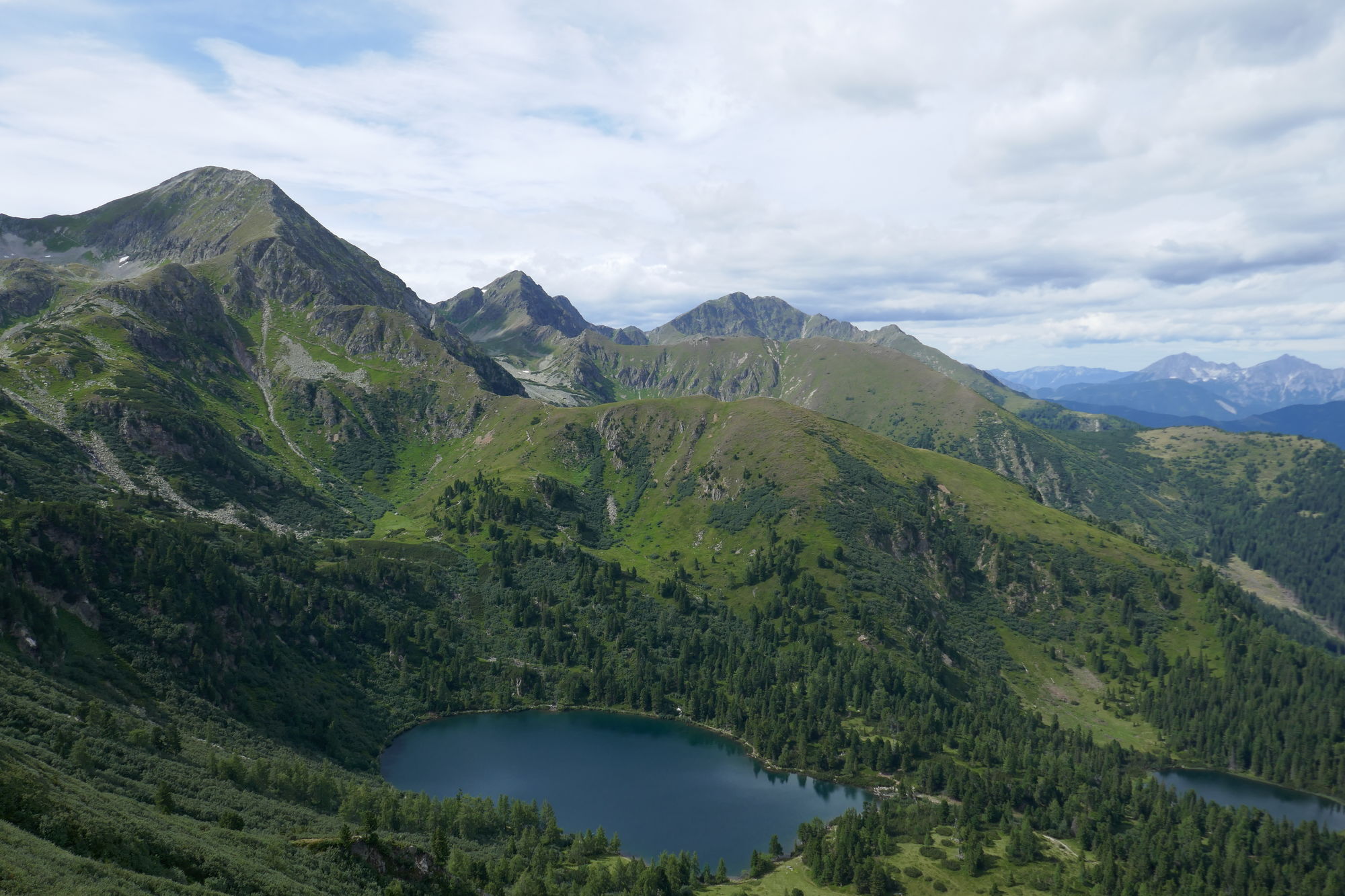
Schöne Gratüberschreitung von Rottenmann bis zum Großen Bösenstein
- Difficoltà
-
difficile
- Valutazione
-
- Punto di partenza
-
Rottenmann - Gasthaus zum Stadtwald
- Percorso
-
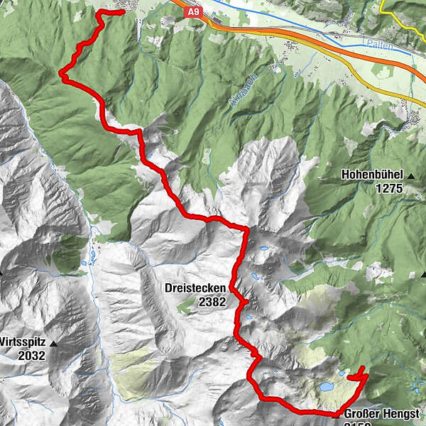
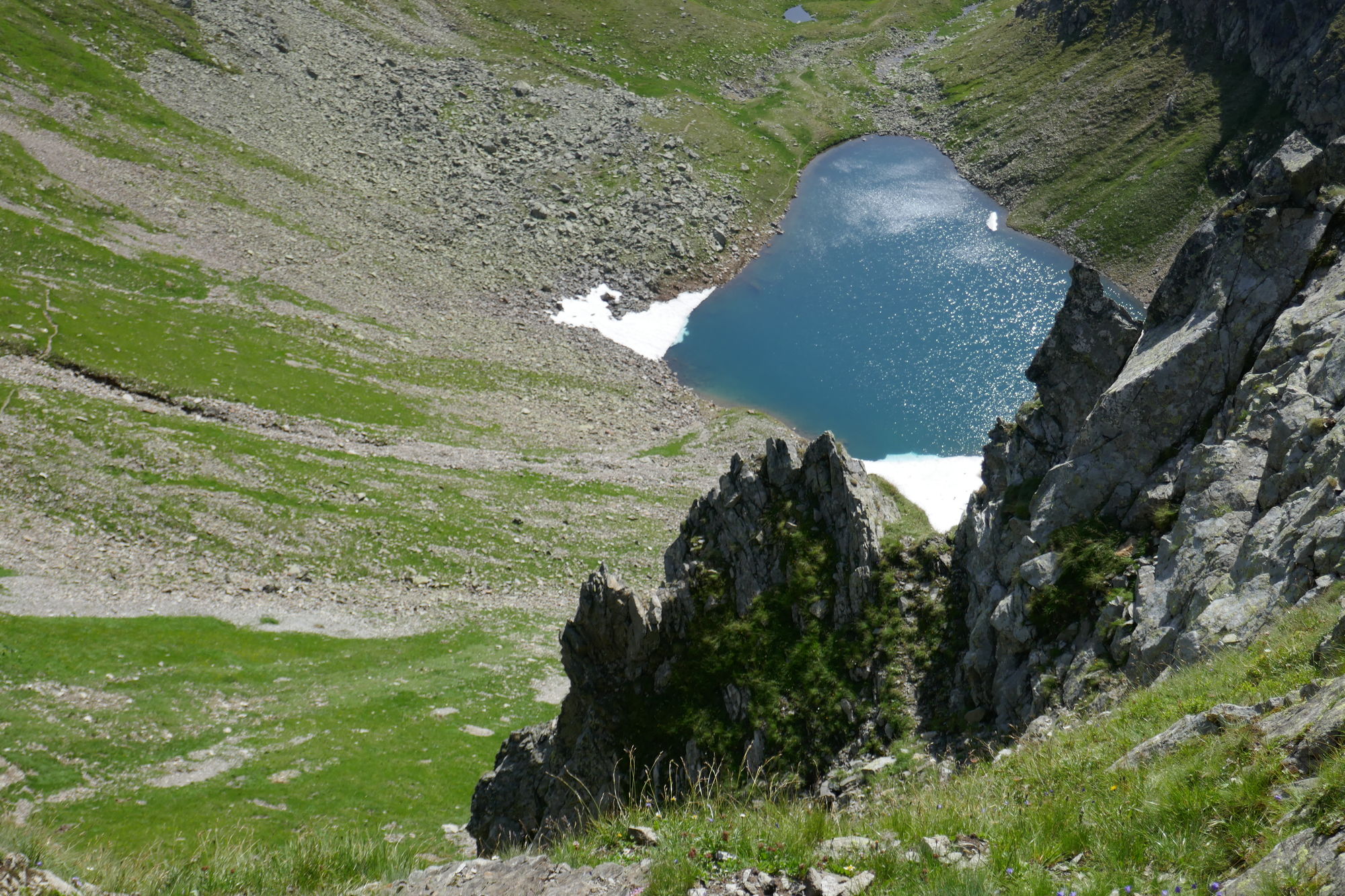
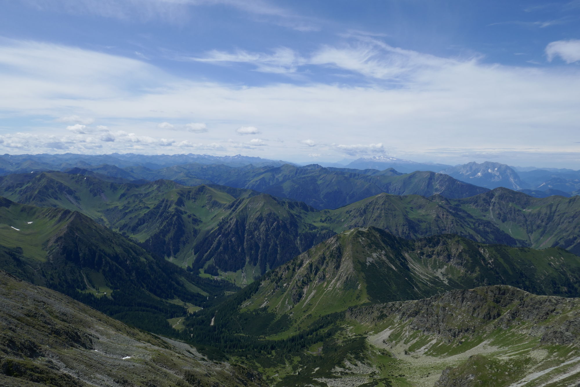
Rottenmann0,0 kmSternkegel4,2 kmStein am Mandl (2.043 m)5,6 kmSeegupf (2.011 m)6,9 kmDiewaldgupf (2.125 m)7,9 kmMoserspitz (2.230 m)8,8 kmHochhaide (2.363 m)10,1 kmMoserscharte10,6 kmDreistecken (2.382 m)11,5 kmSonntagskarspitze (2.350 m)12,8 kmGroßer Bösenstein (2.448 m)13,9 kmKleiner Bösenstein (2.395 m)14,6 kmGroßer Hengst (2.159 m)17,0 kmEdelrautehütte (1.725 m)18,7 kmScheibelalm18,8 km
- La stagione migliore
-
genfebmaraprmaggiulugagosetottnovdic
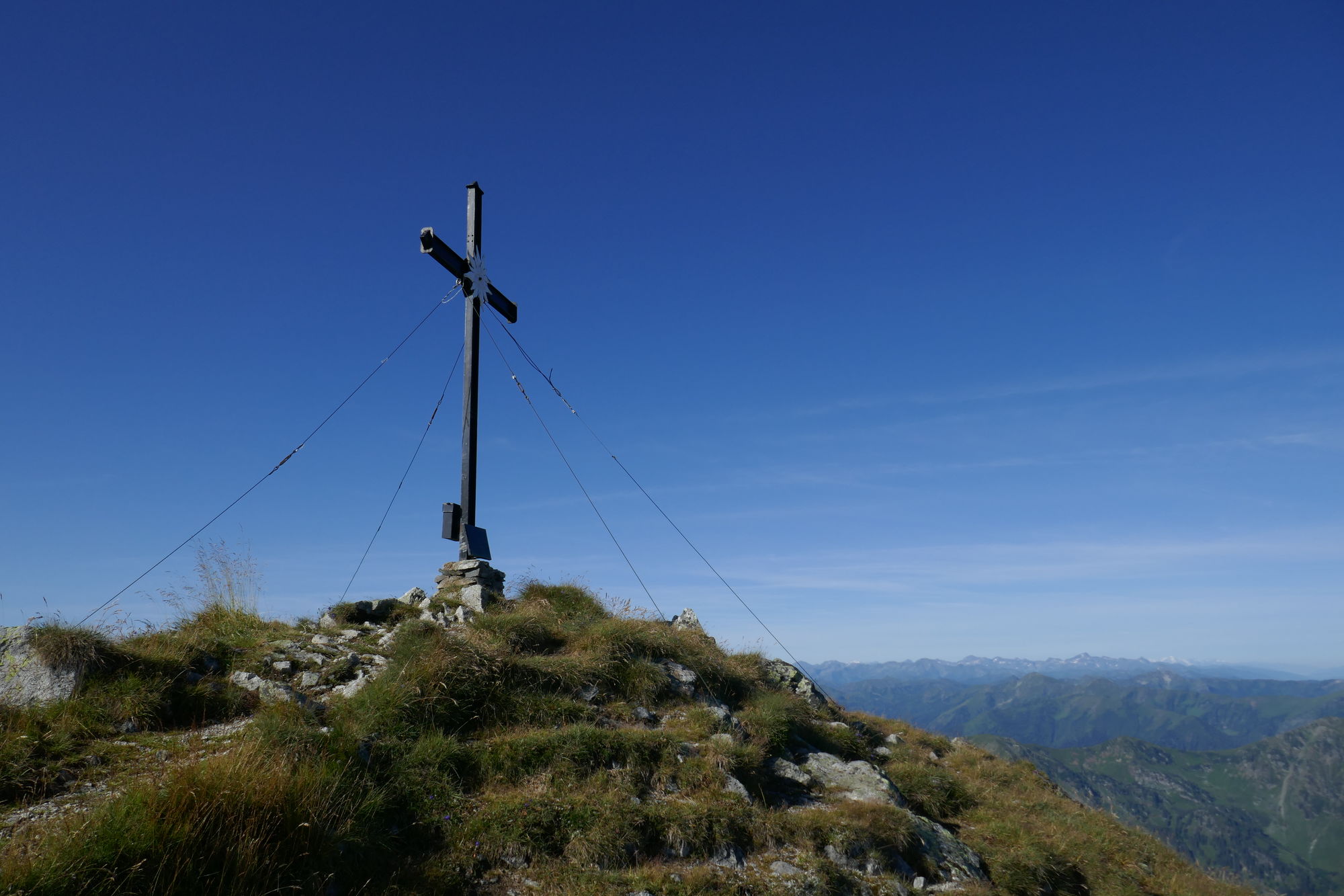
- Punto più alto
- Großer Bösenstein (2.448 m)
- Destinazione
-
Edelrautehütte
- Riposo/Ritiro
-
Rottenmanner Hütte (zusätzliche Aufstiegshöhenmeter)
- Informazioni
-
-
- Cartine
-
-


- Fonte
- Petra und Christian
GPS Downloads


Condizioni dei sentieri
Asfalto
Ghiaia
(30)
Prato
(30)
Foresta
(25)
Roccia
(10)
Esposta
(5)
Altri tour nelle regioni
-
Gesäuse
2225
-
Grimming - Donnersbachtal
976
-
Rottenmann
229


")
