

© ©Wolfgang Glock - Wiener Alpen in Niederösterreich Tourismus GmbH


Dati percorsi
8,08km
978
- 1.164m
251hm
249hm
03:00h

- Descrizione rapida
-
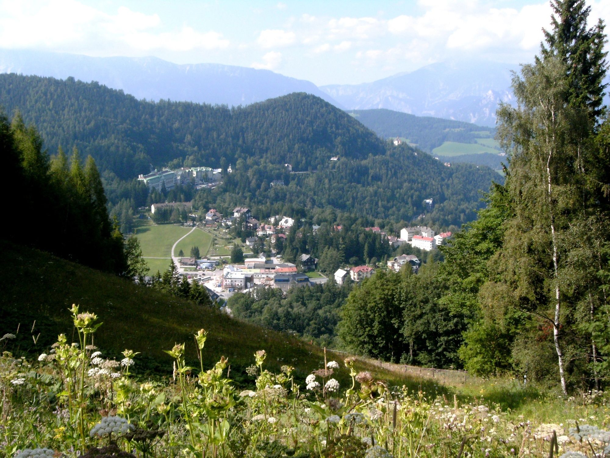
Erholsame Wanderung in den Dürrgraben am Fuße des Hirschenkogel . Bis zur Bachquerung flach verlaufend und bestens geeignet für Kinderwägen.
- Difficoltà
-
facile
- Valutazione
-
- Percorso
-
Semmeringpass (984 m)0,0 kmDürrgraben3,8 kmThiergrabenhöhle4,6 kmSemmeringpass (984 m)8,0 km
- La stagione migliore
-
genfebmaraprmaggiulugagosetottnovdic
- Punto più alto
- 1.164 m
- Destinazione
-
Passhöhe Semmering
- Profilo altimetrico
-


- Autore
-
Il tour Semmering Johannespromenade è utilizzato da outdooractive.com fornito.
GPS Downloads


Info generali
Punto di ristoro
Clima curativo
Altri tour nelle regioni
-
Hochsteiermark
4075
-
Semmering - Rax
2307
-
Semmering Hirschenkogel
801


