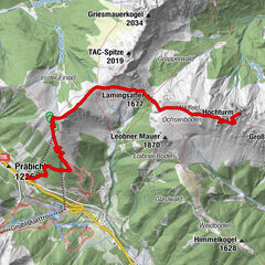
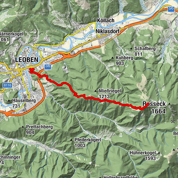
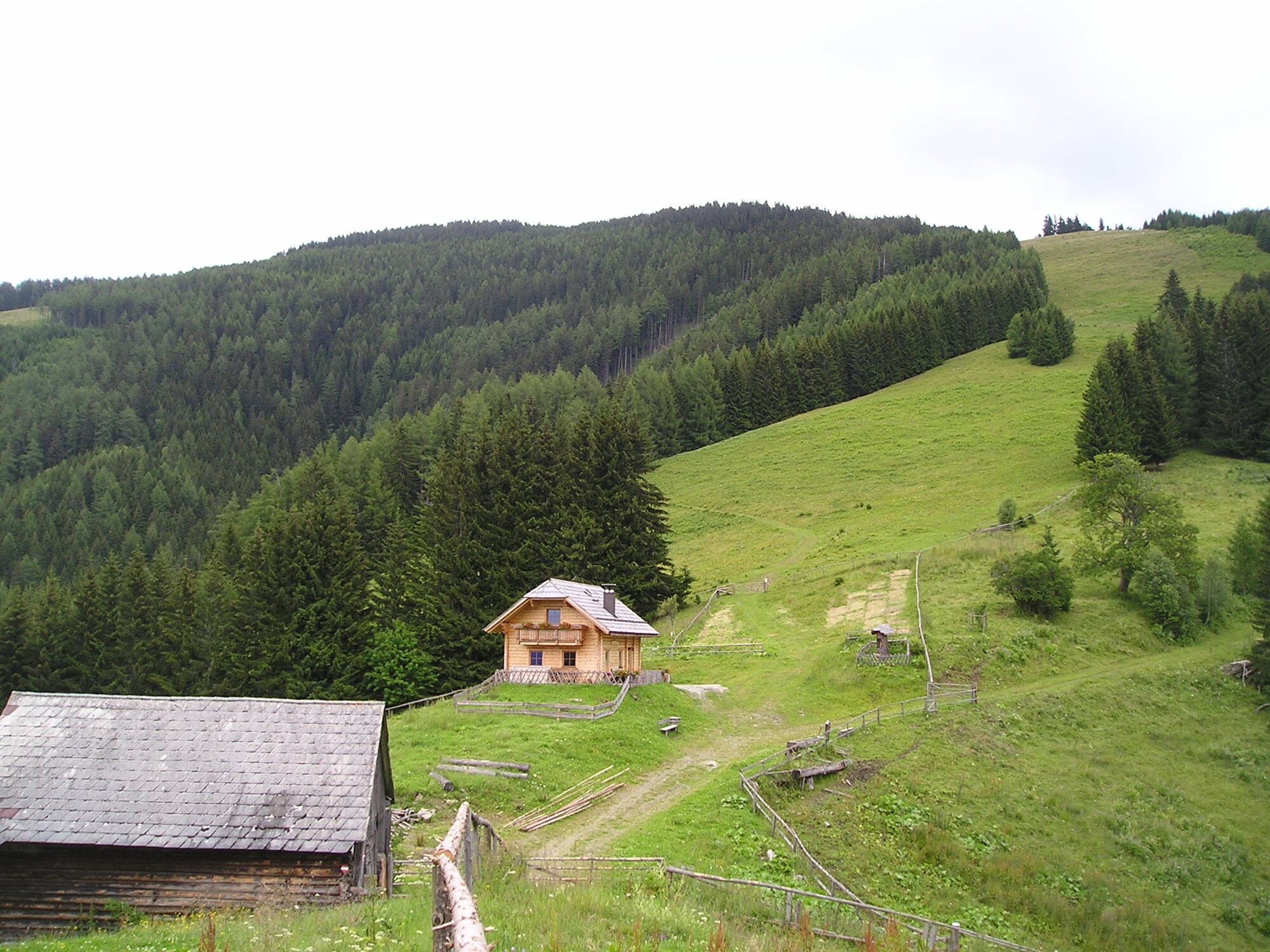
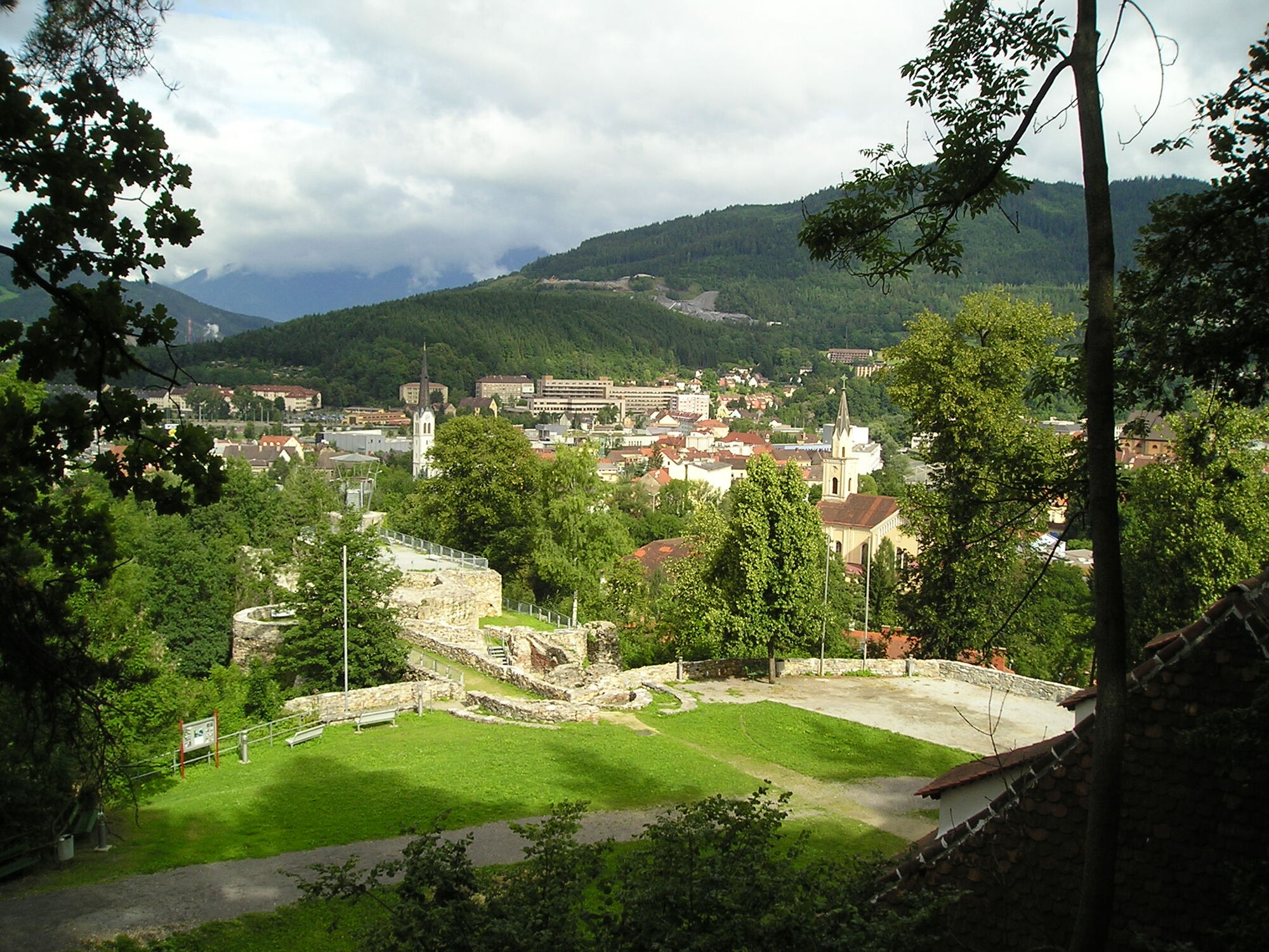
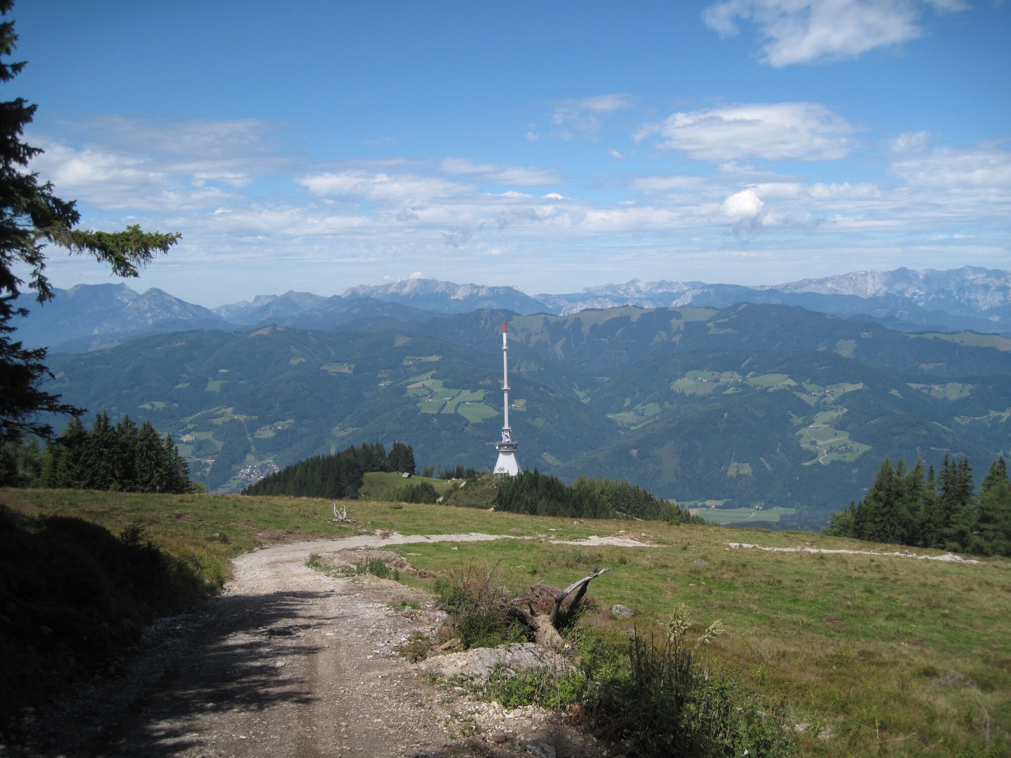
Mountain hiking trail from Leoben to the Mugel

Escursionismo

© Tourismusverband ERZBERG LEOBEN - Anton Hirschmann

© Tourismusverband ERZBERG LEOBEN - Anton Hirschmann

© Tourismusverband ERZBERG LEOBEN - Anton Hirschmann

© Tourismusverband ERZBERG LEOBEN - Anton Hirschmann

© Tourismusverband ERZBERG LEOBEN - Anton Hirschmann

- Descrizione rapida
- Difficoltà
-
difficile
- Valutazione
-
- Percorso
-
LeobenSpitz Christi4,3 kmMugel (1.630 m)9,9 kmMugelschutzhaus9,9 km
- La stagione migliore
-
genfebmaraprmaggiulugagosetottnovdic
- Punto più alto
- 1.615 m
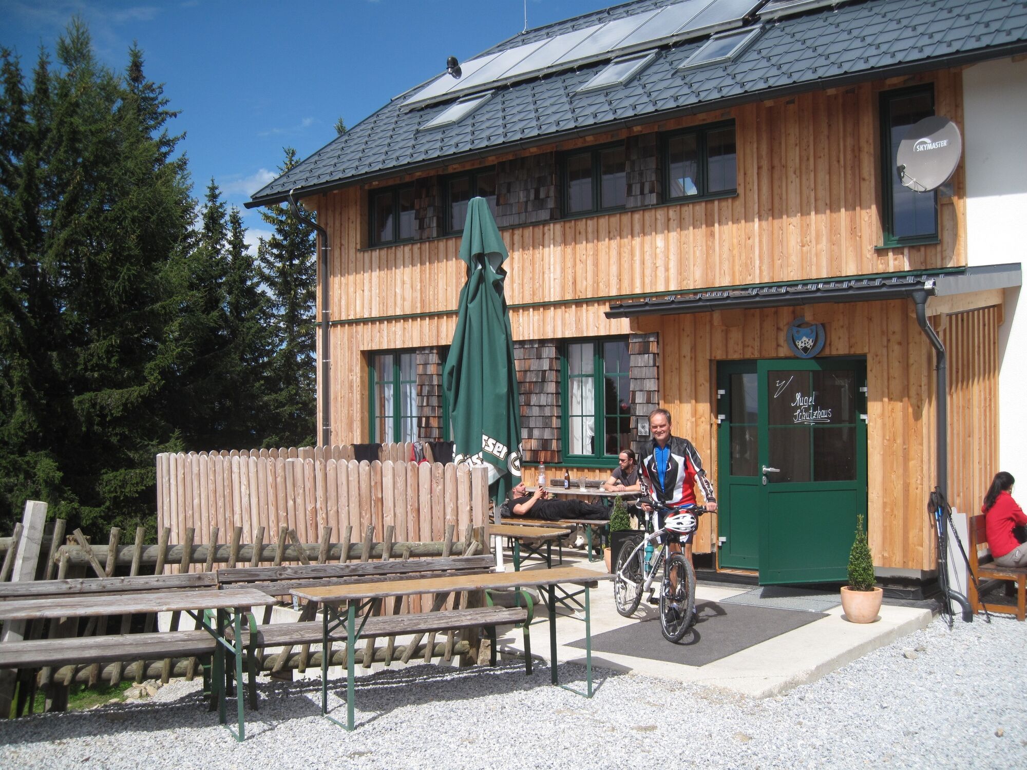
- Destinazione
-
Mugelschutzhaus
- Profilo altimetrico
-

- Autore
-
Il tour Mountain hiking trail from Leoben to the Mugel è utilizzato da outdooractive.com fornito.
GPS Downloads


Info generali
Punto di ristoro
Promettente
Altri tour nelle regioni
-
Erzberg Leoben
2528
-
Bruckmur-Kapfenberg
1499
-
Niklasdorf
286