


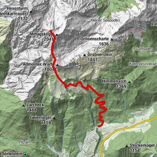
Dati percorsi
12,2km
878
- 2.065m
1.197hm
06:00h
- Descrizione rapida
-
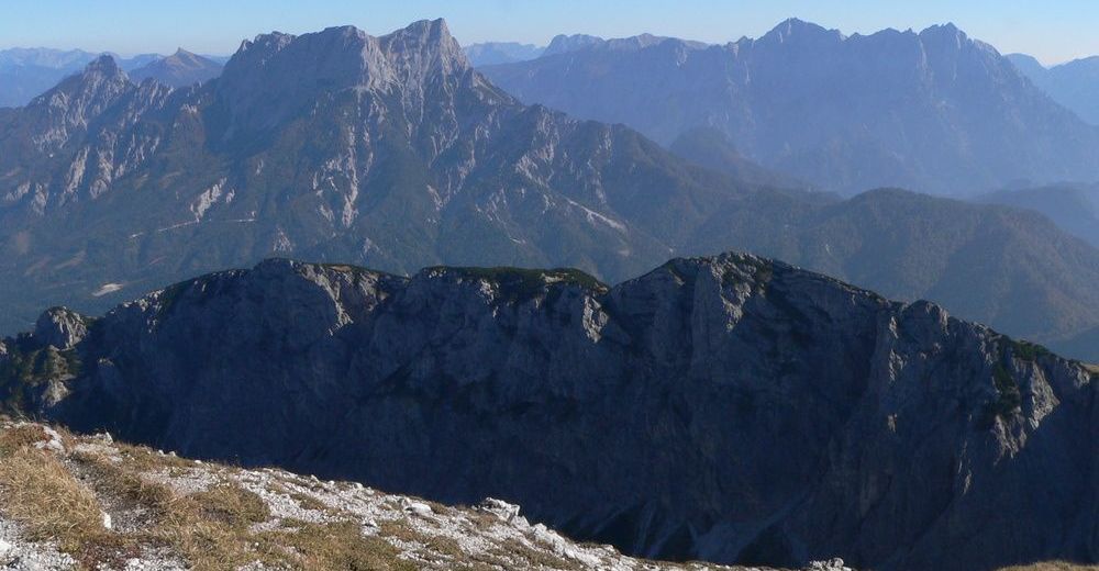
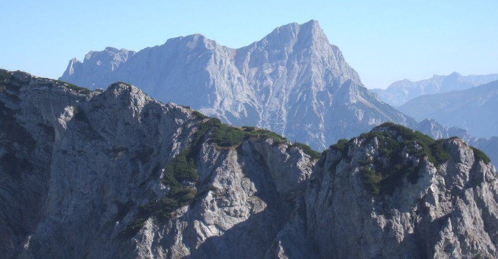
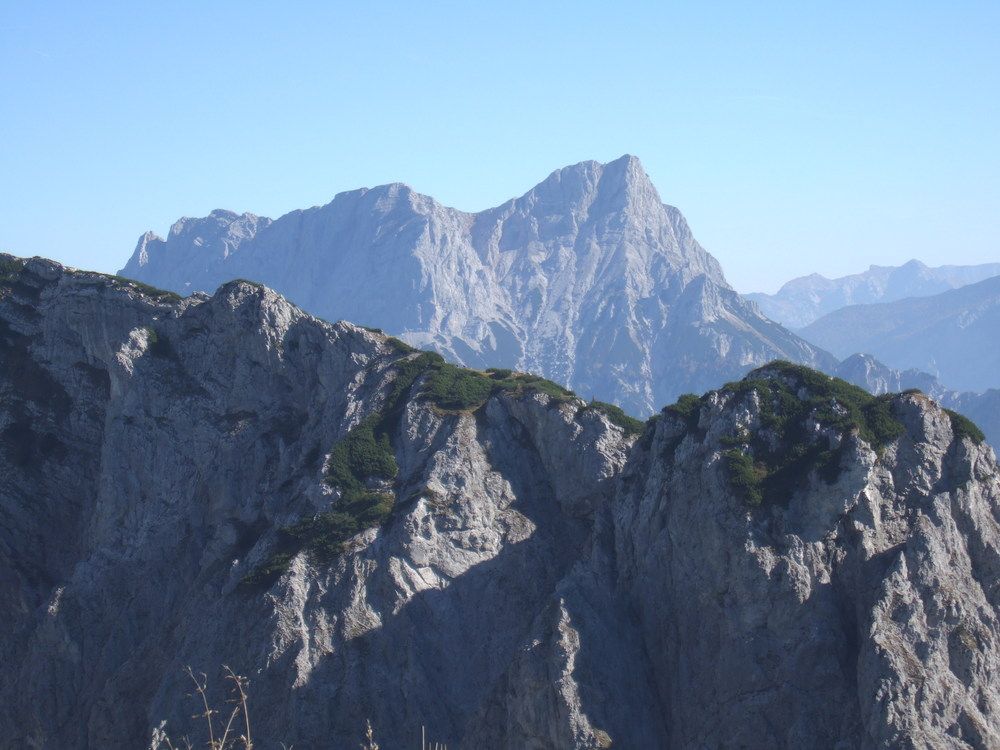
anspruchsvolle Wanderung mit wunderschönen Fernblicken
- Valutazione
-
- Punto di partenza
-
Buchauersattel
- Percorso
-
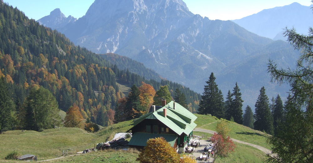
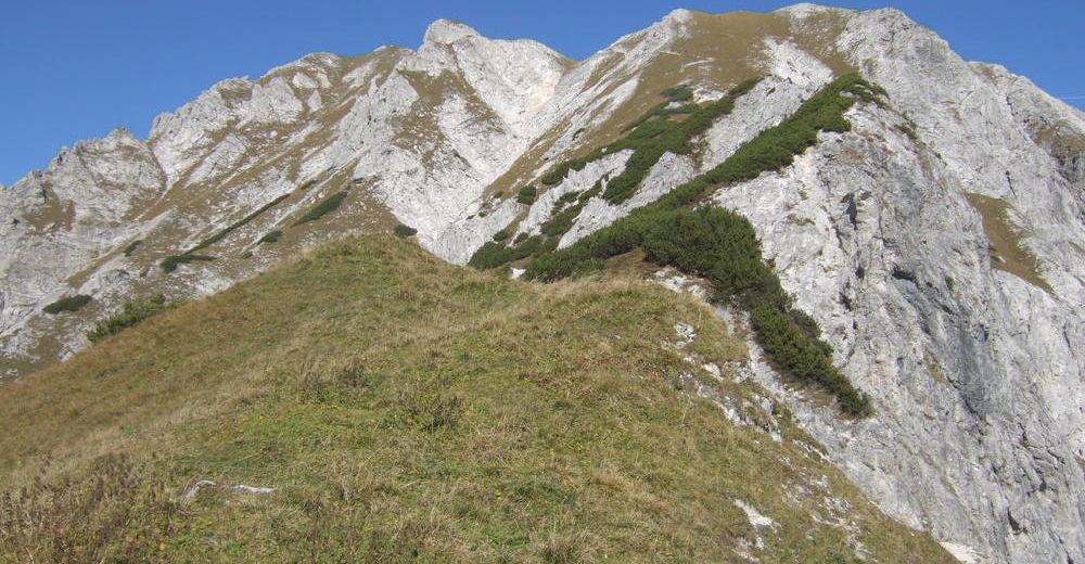
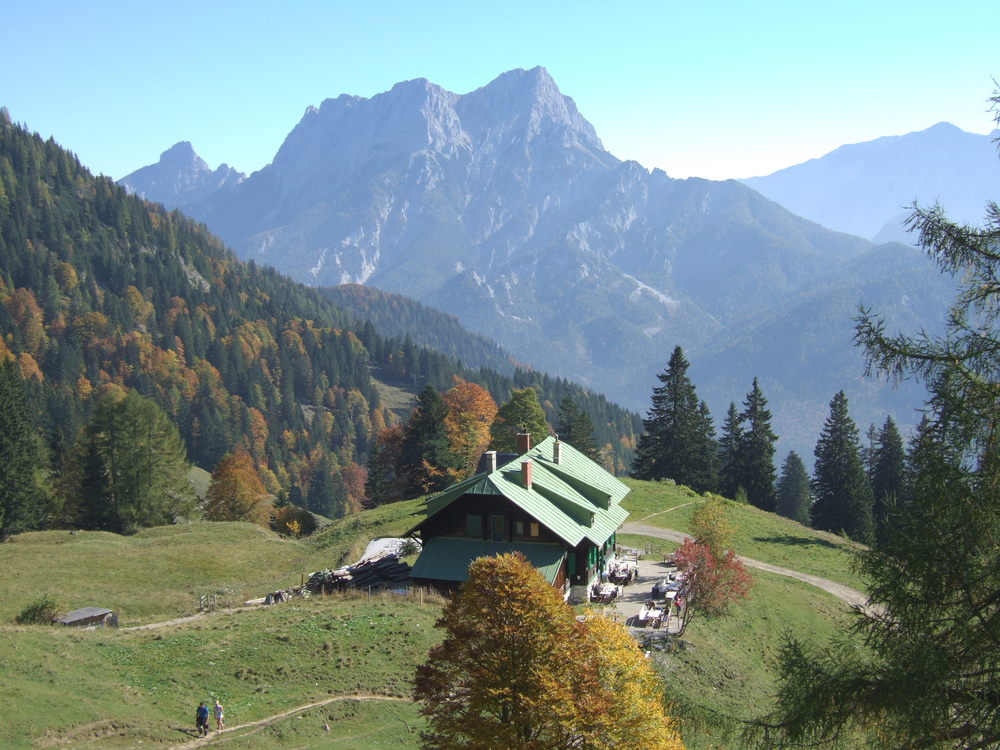
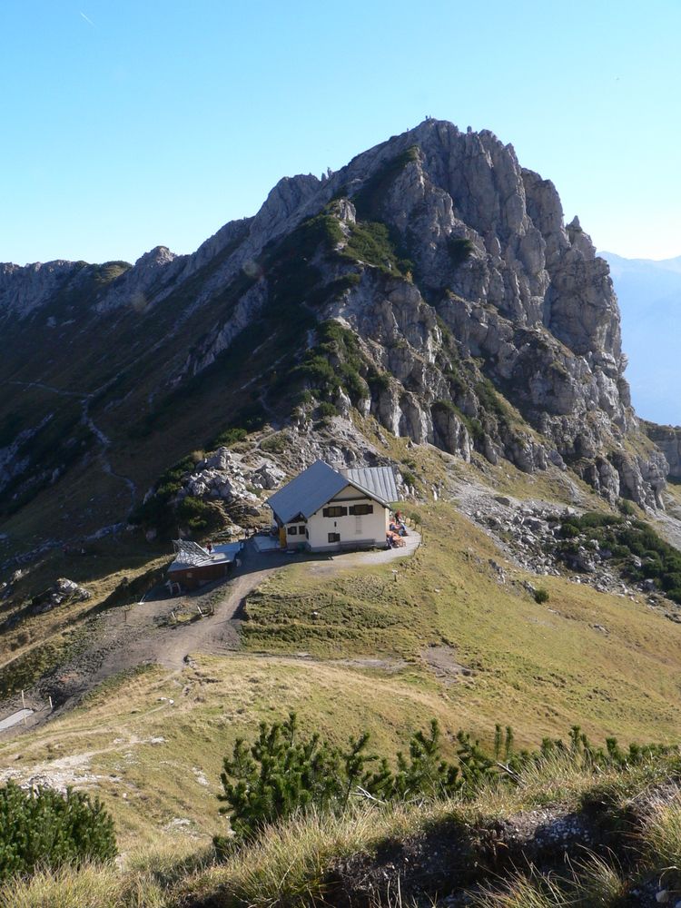
Admonter Haus5,0 kmMittagskogel (2.041 m)5,7 kmNatterriegel (2.065 m)6,0 km
- Punto più alto
- 2.065 m
- Riposo/Ritiro
-
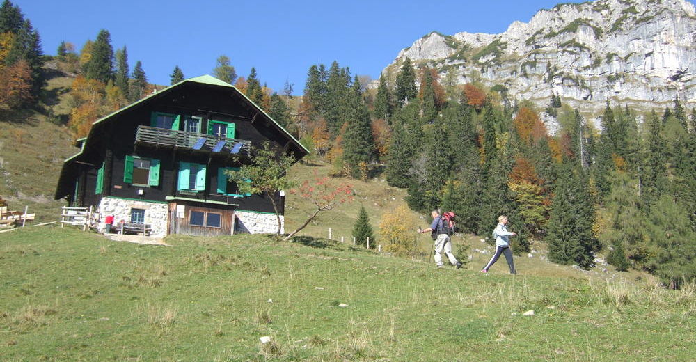
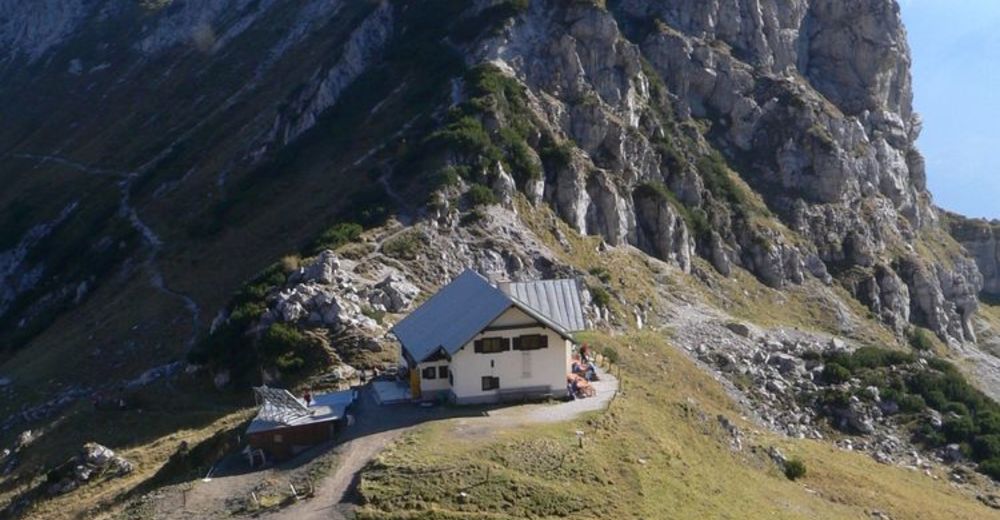
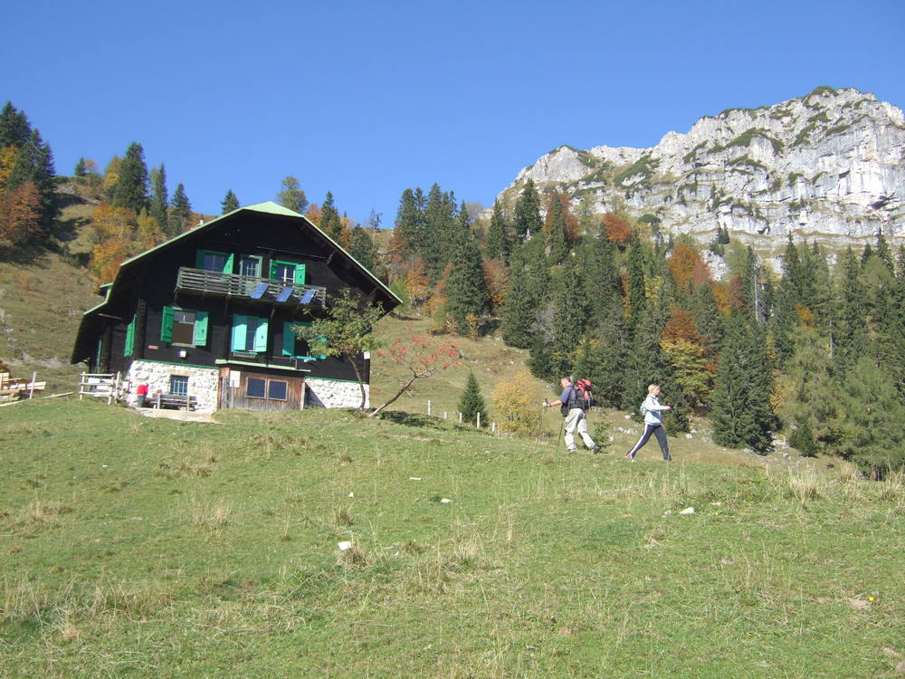
Admonter Hütte, Grabneralmhaus
- Cartine
-
ÖK Nr. 99 Rottenmann


GPS Downloads


Condizioni dei sentieri
Asfalto
Ghiaia
Prato
Foresta
Roccia
Esposta
Altri tour nelle regioni
-
Gesäuse
2224
-
Steyr und die Nationalpark Region
1371
-
Admont
293


")


