


Dati percorsi
4,27km
1.002
- 1.953m
945hm
05:00h
- Descrizione rapida
-
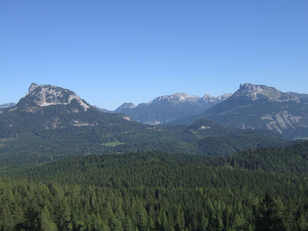
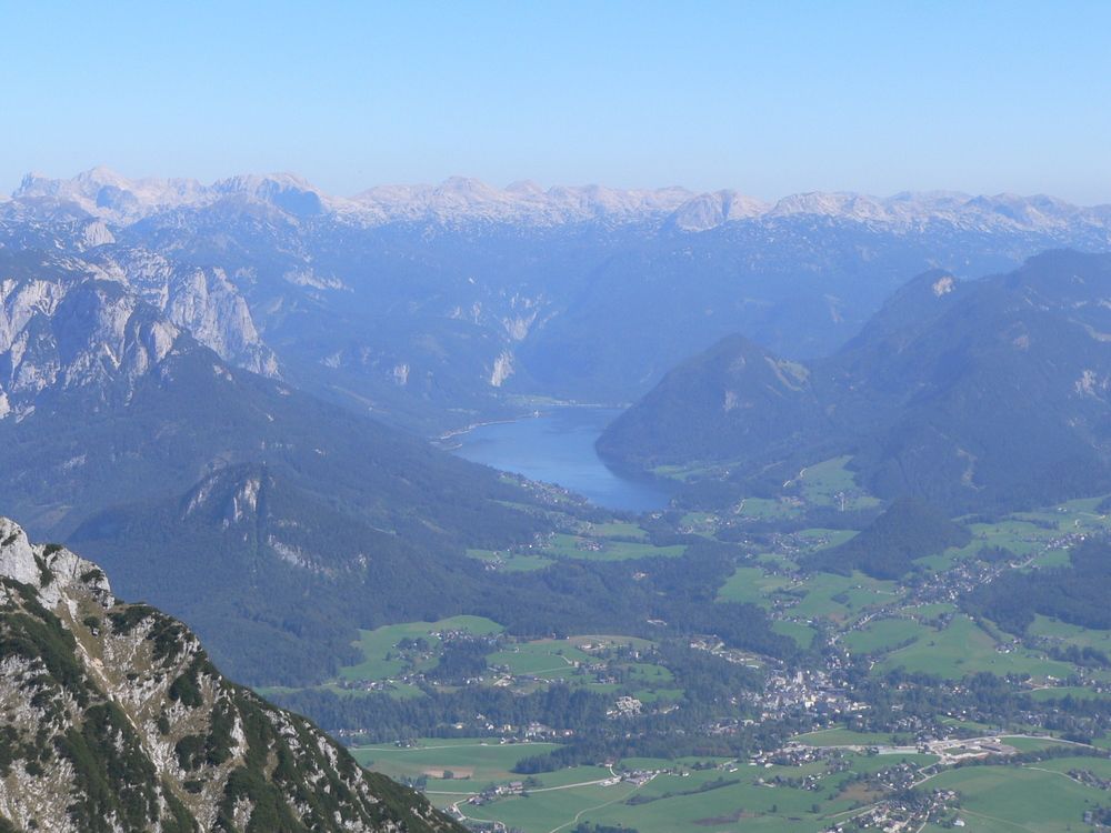
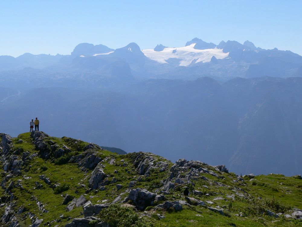
herrlicher Aussichtsberg auf das Ausseerland und den Dachstein
- Valutazione
-
- Punto di partenza
-
Pötschenpaß
- Percorso
-
Hoher Sarstein (1.975 m)4,2 km
- Punto più alto
- 1.953 m
- Riposo/Ritiro
-
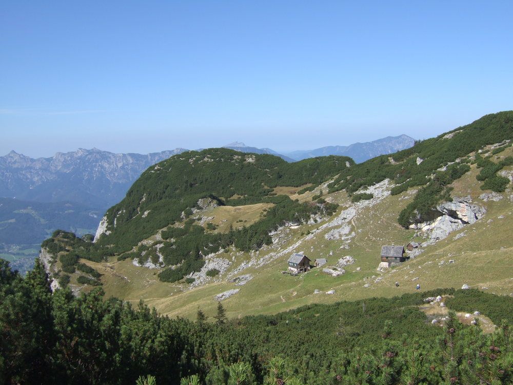
Sarsteinhütte
- Cartine
-
Österr. Karte Nr. 96

GPS Downloads


Condizioni dei sentieri
Asfalto
Ghiaia
Prato
Foresta
Roccia
Esposta
Altri tour nelle regioni
-
Salzkammergut Oberösterreich
3078
-
Dachstein Salzkammergut
1700
-
Obertraun
379


