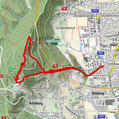
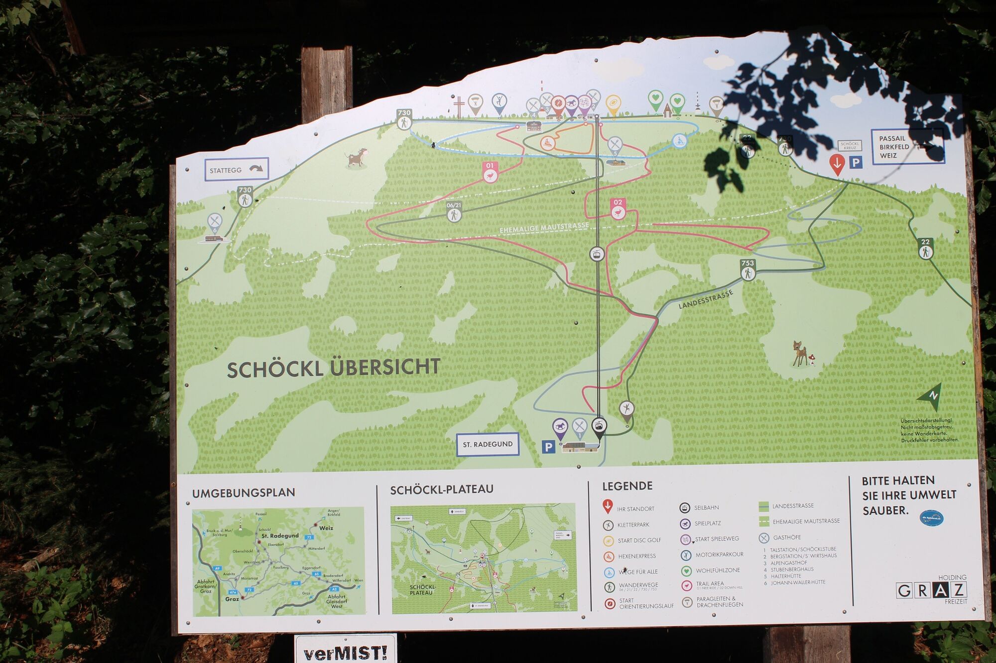
Schöckl Round from Schöcklkreuz (Plenzengreith)

Escursionismo

© Oststeiermark Tourismus - Christine Pollhammer

© Oststeiermark Tourismus - Christine Pollhammer

© Oststeiermark Tourismus - Christine Pollhammer

© Oststeiermark Tourismus - Christine Pollhammer

© Oststeiermark Tourismus - Christine Pollhammer

© Oststeiermark Tourismus - Christine Pollhammer

© Oststeiermark Tourismus - Christine Pollhammer

© Oststeiermark Tourismus - Christine Pollhammer

© Oststeiermark Tourismus - Christine Pollhammer

© Oststeiermark Tourismus - Christine Pollhammer

- Descrizione rapida
-
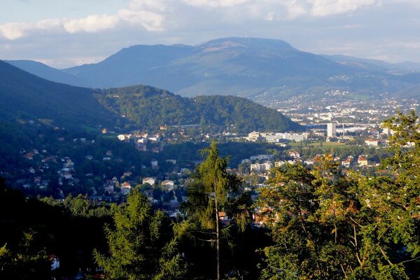
With its 1,445 m, the Schöckl is one of the highest elevations in the Almenland Nature Park in Styria. The easy tour leads from the Schöckl cross up to the summit plateau.
- Difficoltà
-
facile
- Valutazione
-
- Percorso
-
Schöckl (1.445 m)2,6 kmGipfelkreuz Schöckl2,8 kmStoawandhütte3,0 kmStubenberghaus3,7 kmSchöckl3,8 kmSchöneben4,9 kmSchöcklkreuz (1.125 m)7,8 km
- La stagione migliore
-
genfebmaraprmaggiulugagosetottnovdic
- Punto più alto
- 1.442 m
- Destinazione
-
Schöckl Cross
- Profilo altimetrico
-


-

-
AutoreIl tour Schöckl Round from Schöcklkreuz (Plenzengreith) è utilizzato da outdooractive.com fornito.
GPS Downloads


Info generali
Punto di ristoro
Promettente
Altri tour nelle regioni
-
Erlebnisregion Graz
2782
-
Grazer Bergland - Schöcklland
1702
-
Schöckl
622