© Hannes Peer - Schladming Dachstein


- Descrizione rapida
-
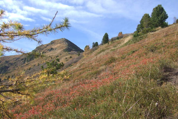
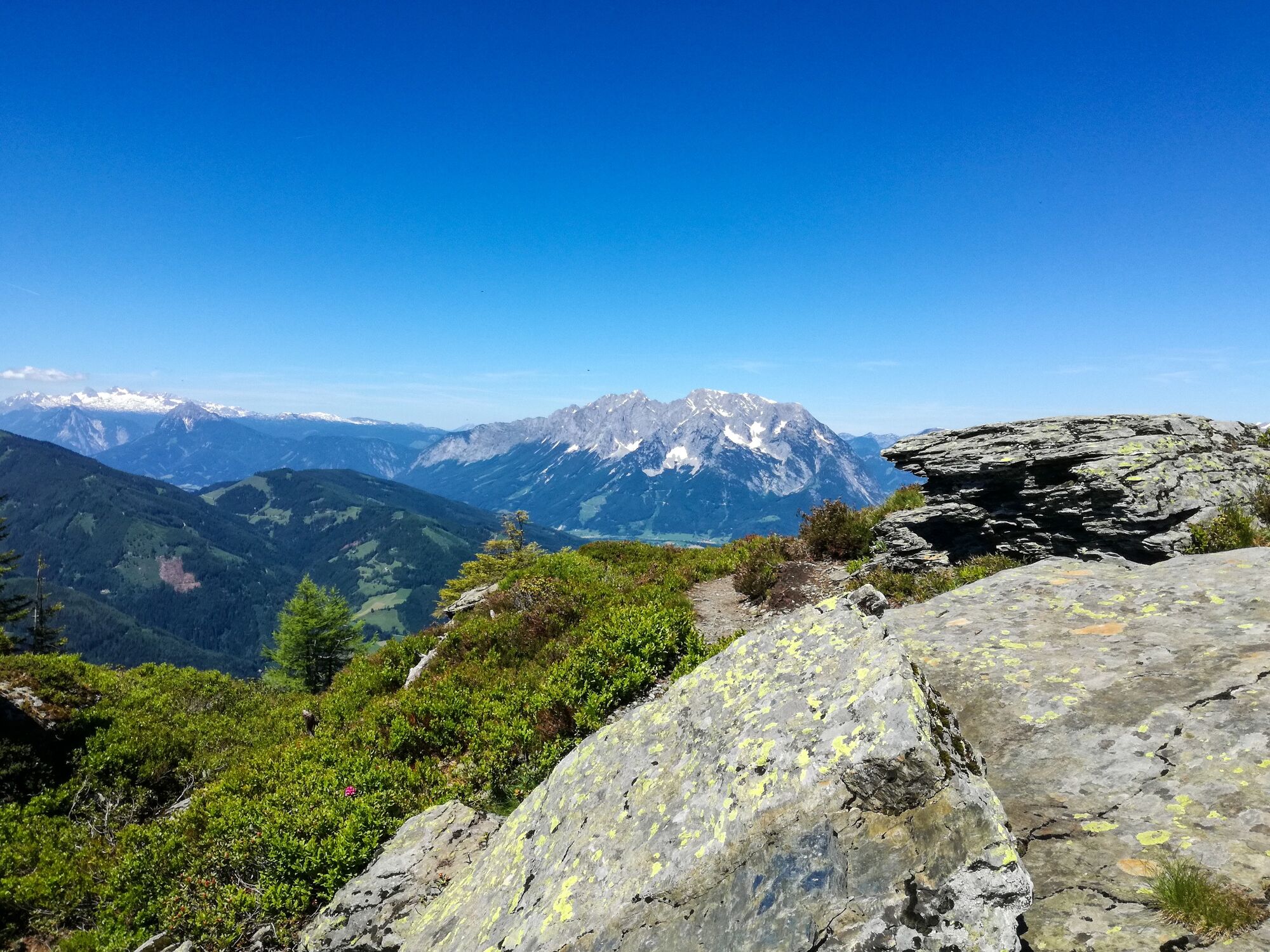
The way leads from the highest situated house in Donnersbach along a forest walk to the timberline. It goes on across the ridge to the two summits.
- Difficoltà
-
intermedio
- Valutazione
-
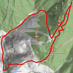
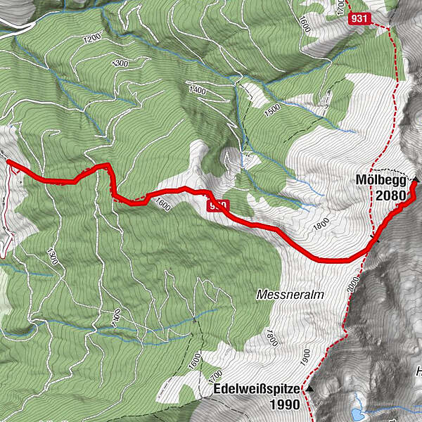
- Percorso
-
Mölbegg (2.080 m)3,3 km
- La stagione migliore
-
genfebmaraprmaggiulugagosetottnovdic
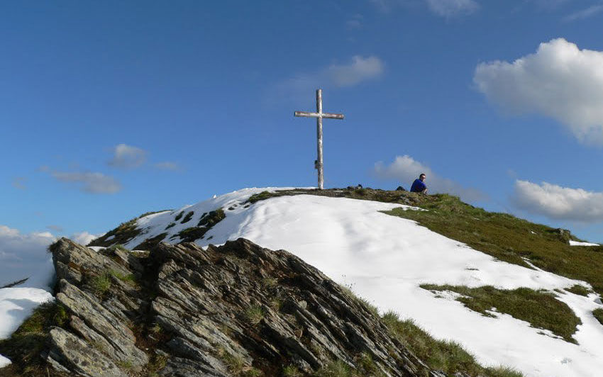
- Punto più alto
- 2.071 m
- Destinazione
-
Summit Mölbegg and back to the farm Hochbär
- Profilo altimetrico
-


- Autore
-
Il tour Mölbegg è utilizzato da outdooractive.com fornito.
GPS Downloads


Info generali
Flora
Fauna
Promettente
Altri tour nelle regioni