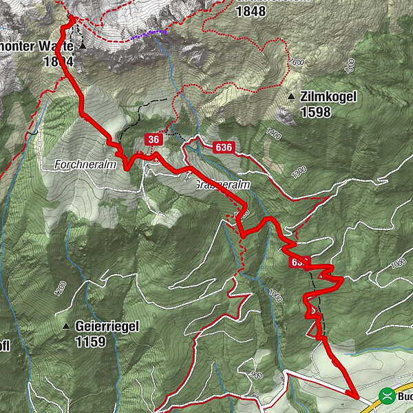
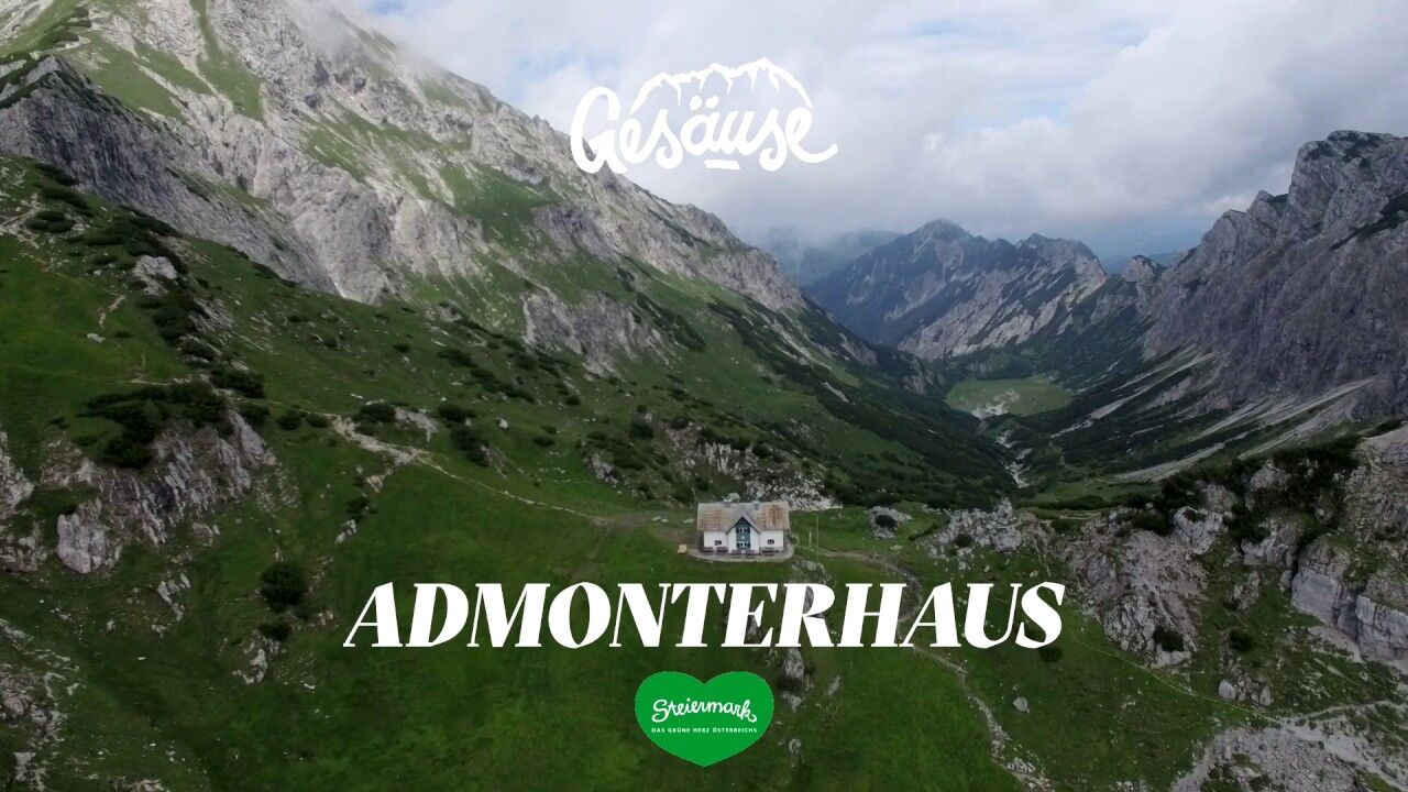
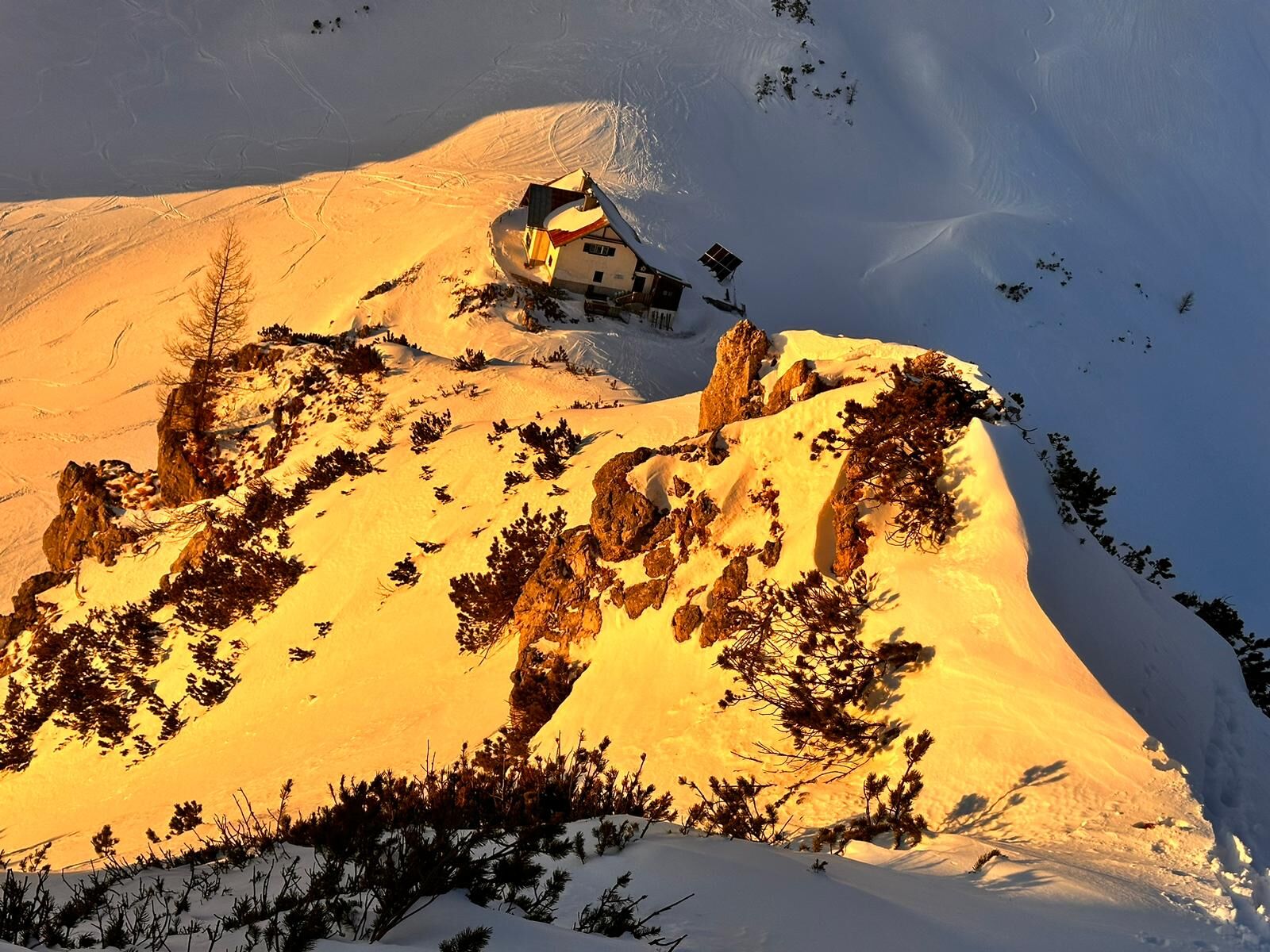
Admonterhaus (1,725 m) via Grabneralm (1,390 m)

Escursionismo

© TV Gesäuse - Christoph

© Tourismusverband Gesäuse

© TV Gesäuse - Christian Scheucher

© TV Gesäuse - Christoph Lukas

© TV Gesäuse - Stefan Leitner

© TV Gesäuse - Christoph Lukas

© TV Gesäuse - Gottfried Härtel

- Descrizione rapida
-
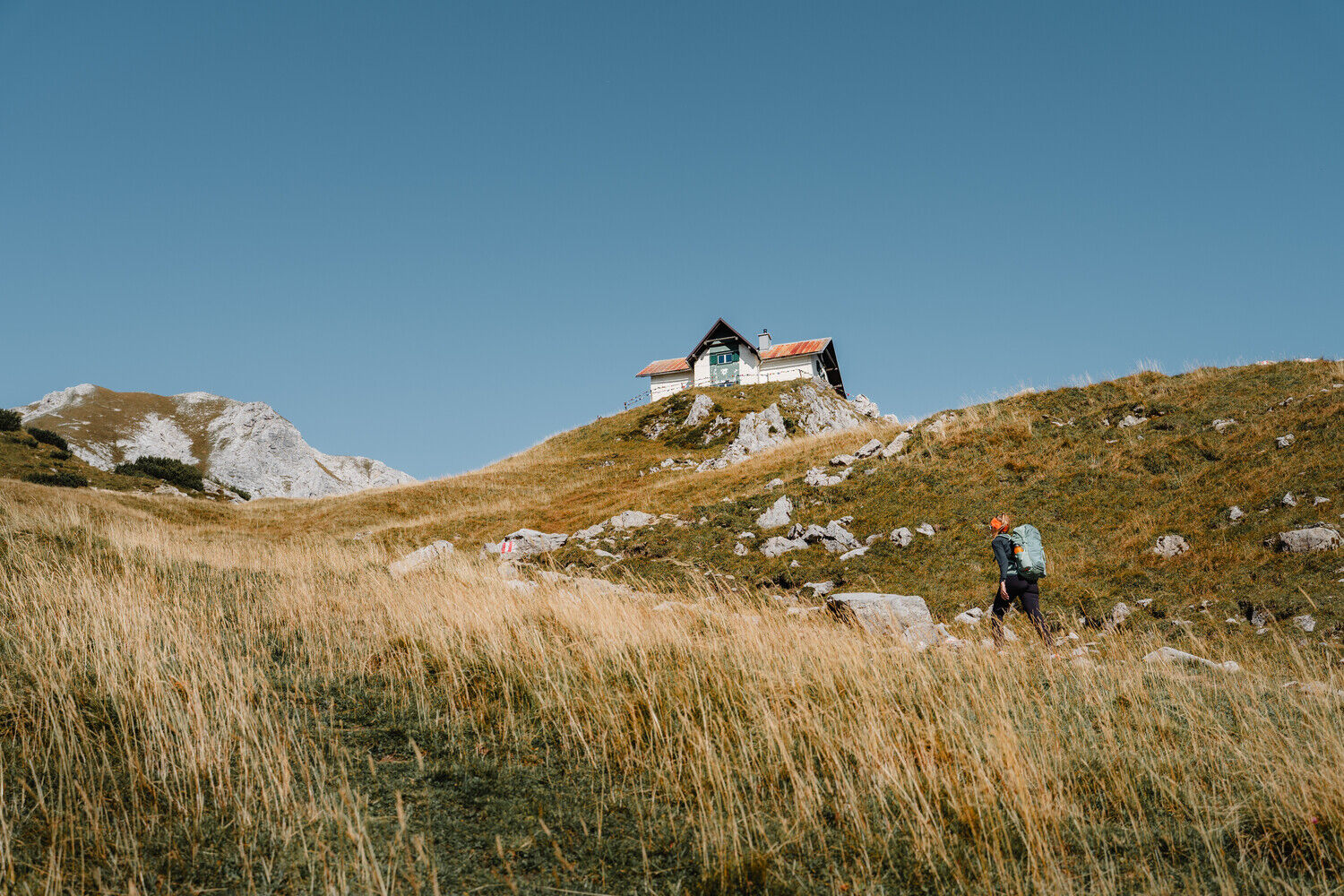
Hike with 2 stops on the Grabneralm and on the Admonterhaus, magnificent views from the Admontehaus into the valley basin of Admont
- Difficoltà
-
intermedio
- Valutazione
-
- Percorso
-
Grabneralm3,1 kmAdmonter Haus4,7 km
- La stagione migliore
-
genfebmaraprmaggiulugagosetottnovdic
- Punto più alto
- 1.702 m
- Destinazione
-
Parkplatz Buchauer Sattel
- Profilo altimetrico
-


-

-
AutoreIl tour Admonterhaus (1,725 m) via Grabneralm (1,390 m) è utilizzato da outdooractive.com fornito.
GPS Downloads


Info generali
Flora
Promettente
Altri tour nelle regioni
-
Gesäuse
2225
-
Steyr und die Nationalpark Region
1371
-
Admont
293


")


