

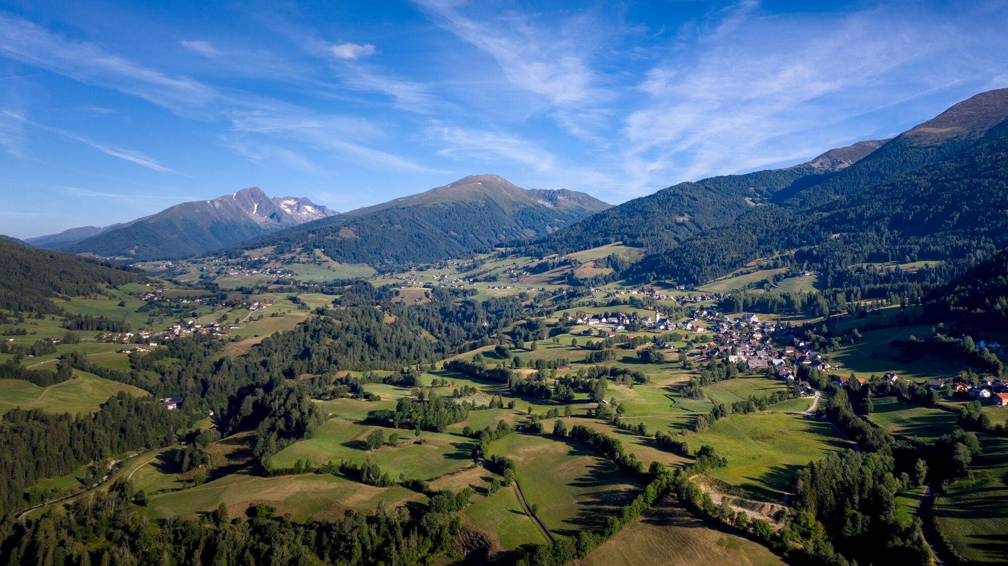
© Tourismusverband Region Murau - Tom Lamm

© Tourismusverband Region Murau - Tom Lamm

© Tourismusverband Region Murau - Tom Lamm


- Descrizione rapida
-
This is a beautiful, but physically demanding mountain hiking trail that should definitely not be underestimated.
- Difficoltà
-
difficile
- Valutazione
-
- Percorso
-
Karlhütte0,0 kmForellenstation Etrachsee0,5 kmBrennerfeldeck (2.507 m)5,3 kmFeldeck (2.480 m)6,0 kmTrübeck (2.367 m)6,9 kmScharnigl12,5 kmKrakaudorf13,1 kmErlebnispension Guniwirt13,1 kmPfarrkirche hl. Oswald13,3 km
- La stagione migliore
-
genfebmaraprmaggiulugagosetottnovdic
- Punto più alto
- 2.475 m
- Destinazione
-
Brennerfeldeck
- Profilo altimetrico
-


- Autore
-
Il tour Brennerfeldeck è utilizzato da outdooractive.com fornito.
GPS Downloads


Info generali
Punto di ristoro
Altri tour nelle regioni


