Dati percorsi
8,54km
1.401
- 1.653m
562hm
562hm
05:30h

- Descrizione rapida
-
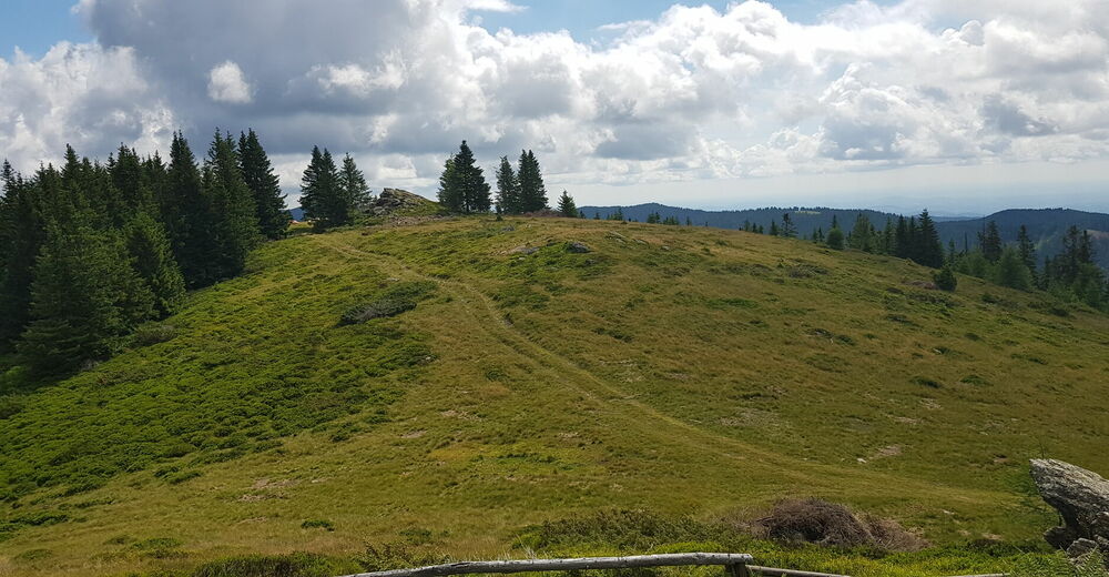
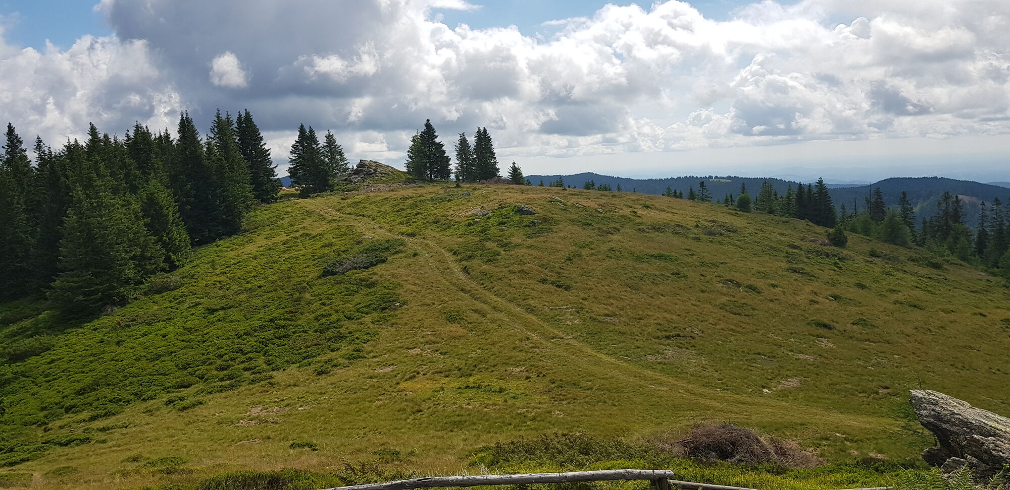
Mittelschwere Wanderung von Hütte zu Hütte.
- Difficoltà
-
intermedio
- Valutazione
-
- Punto di partenza
-
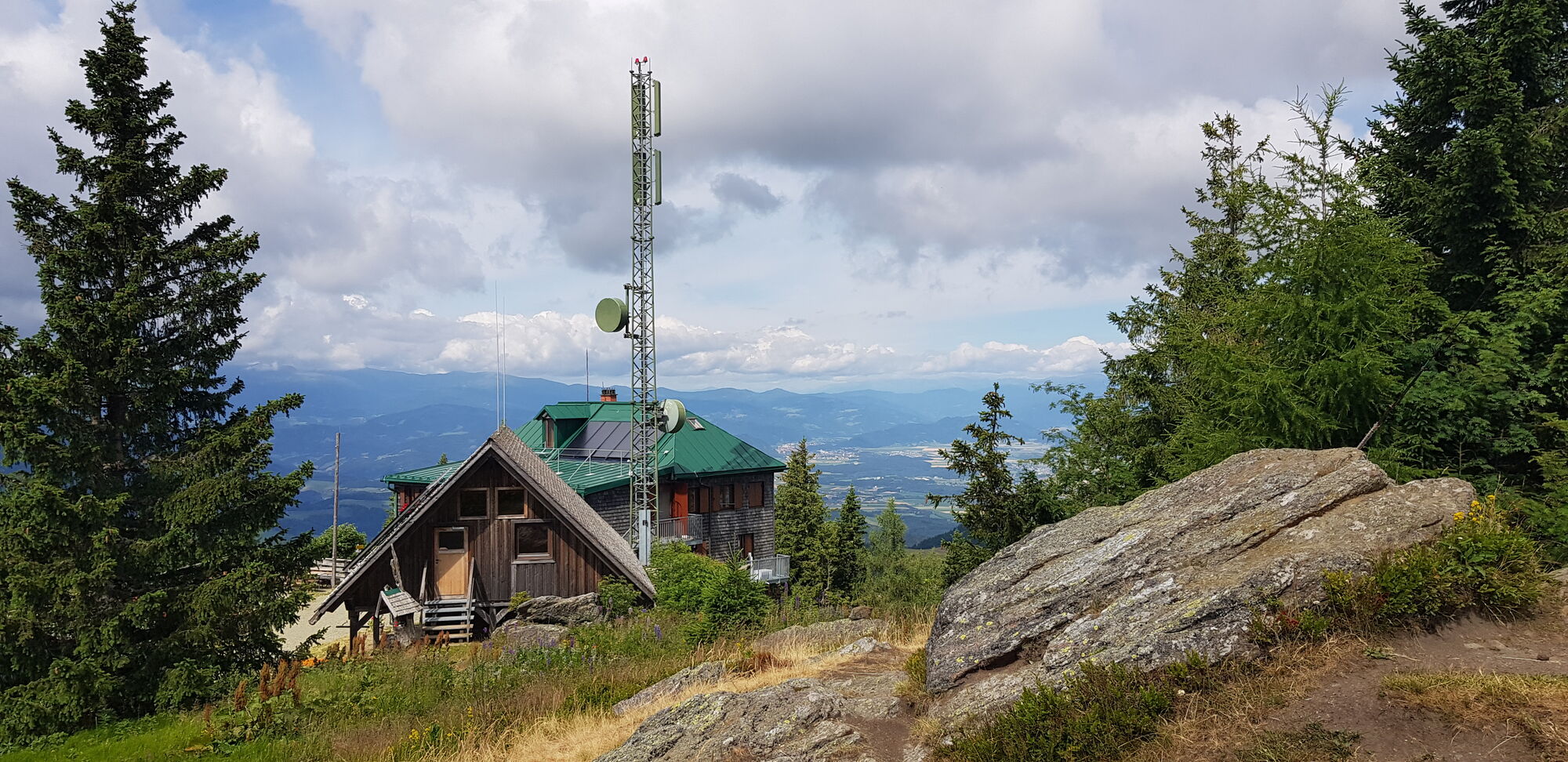
Sattelhaus ( Bernsteinhütte)
- Percorso
-
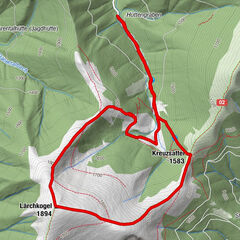
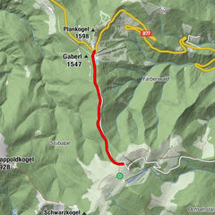
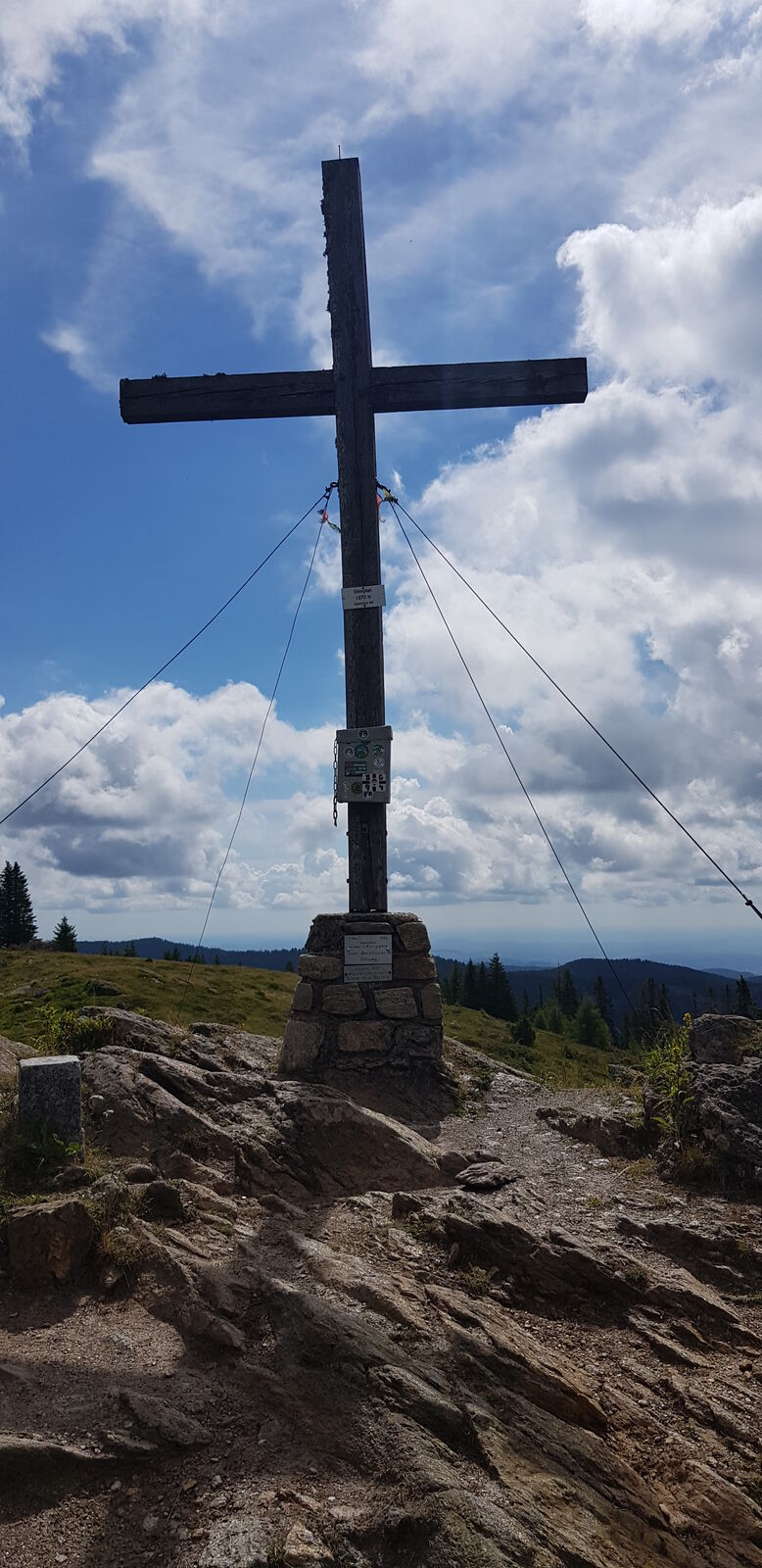
Sattelhaus - Oskar Schauer Haus0,0 kmSteinplan (1.670 m)8,5 km
- La stagione migliore
-
genfebmaraprmaggiulugagosetottnovdic
- Punto più alto
- 1.653 m
- Destinazione
-
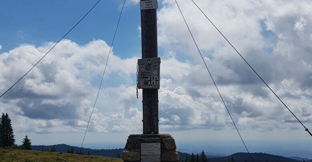
Steinplan
- Riposo/Ritiro
-
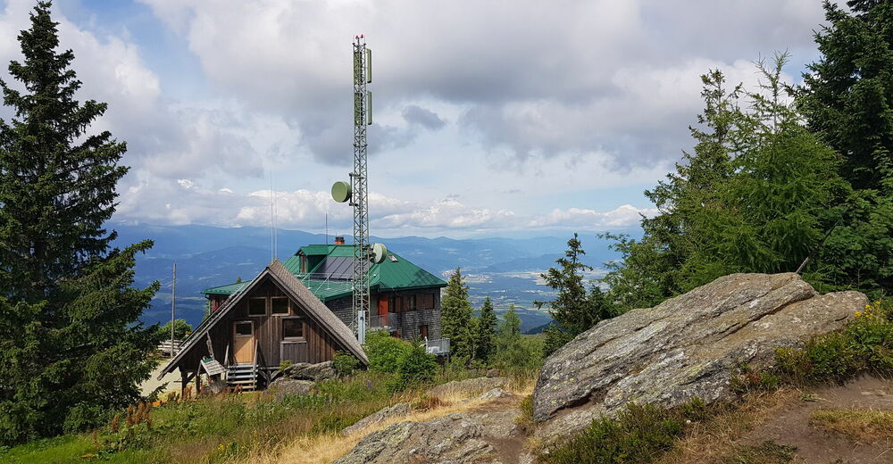
Oskar-Schauer-Sattelhaus
Steinplanhütte
GPS Downloads


Condizioni dei sentieri
Asfalto
Ghiaia
Prato
Foresta
Roccia
Esposta
Altri tour nelle regioni