

© TVB Haus-Aich-Gössenberg - René Eduard Perhab

© TVB Haus-Aich-Gössenberg@René Eduard Perhab

© TVB Haus-Aich-Gössenberg@René Eduard Perhab
© TVB Haus-Aich-Gössenberg - René Eduard Perhab

© TVB Haus-Aich-Gössenberg - René Eduard Perhab
- Descrizione rapida
-
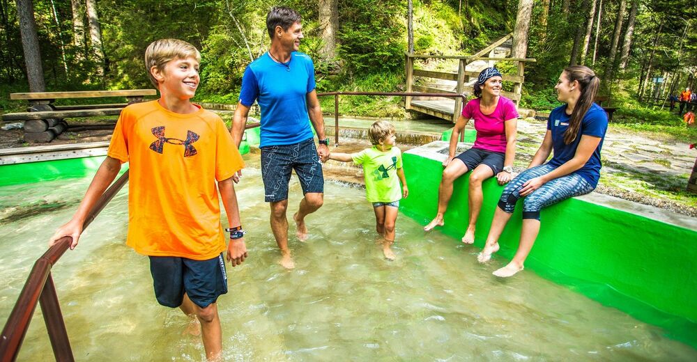
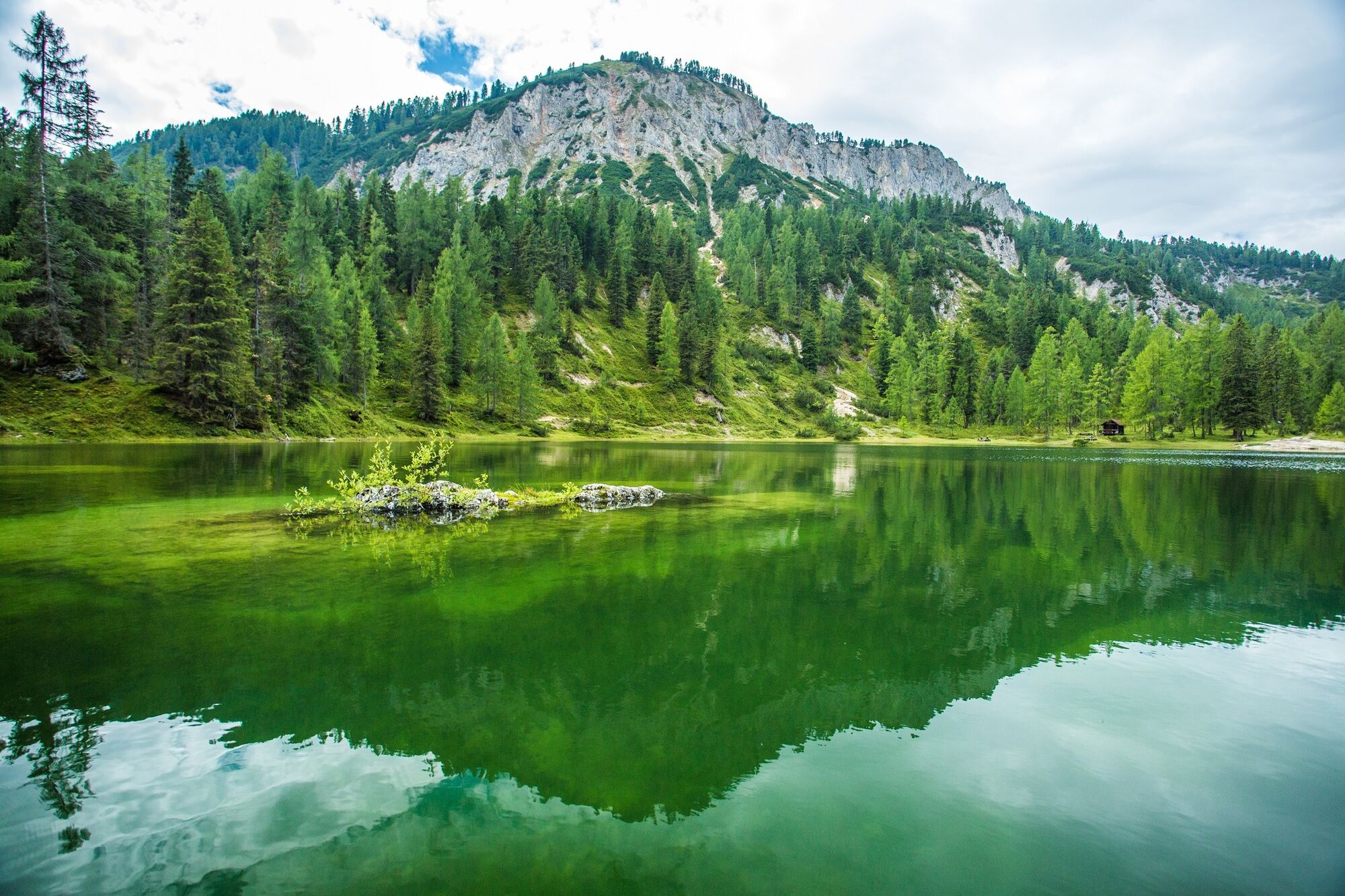
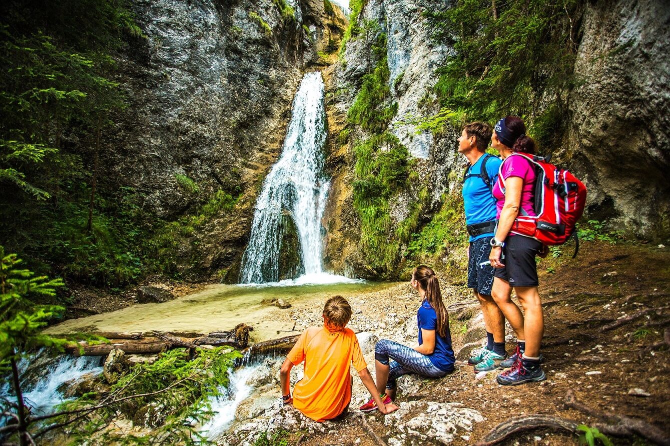
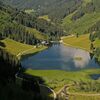
A charming tour to attractive lakes amid limestone mountains and secluded alpine pastures.
- Difficoltà
-
intermedio
- Valutazione
-
- Percorso
-
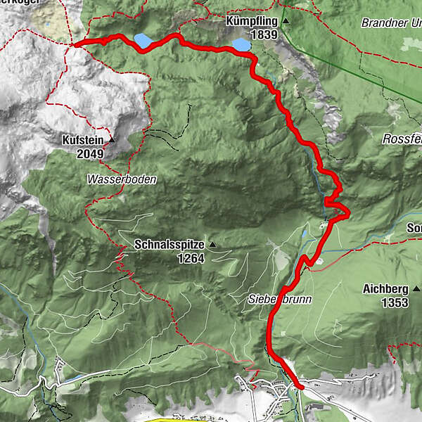
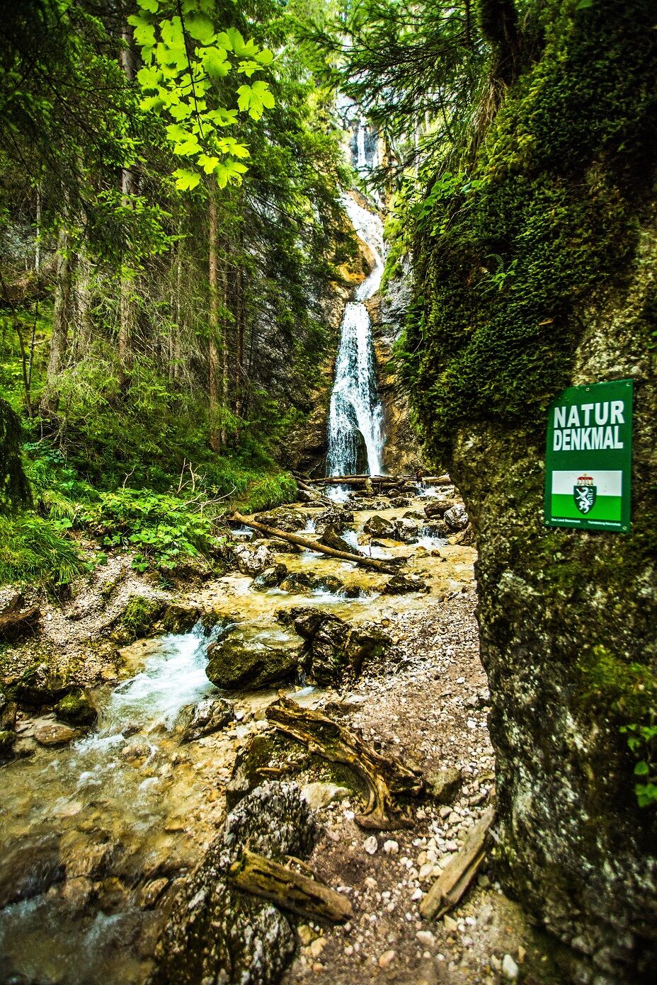
Gradenbachwasserfall2,7 kmGrafenbergalm8,8 kmGradenbachwasserfall14,9 km
- La stagione migliore
-
genfebmaraprmaggiulugagosetottnovdic
- Punto più alto
- 1.779 m
- Destinazione
-
Parking lot crossroads Sonnberg
- Profilo altimetrico
-


-
-
AutoreIl tour Lakes: Ahorn- und Grafenbergsee è utilizzato da outdooractive.com fornito.
GPS Downloads


Info generali
Flora
Fauna
Promettente
Altri tour nelle regioni
-
Schladming - Dachstein
3003
-
Haus - Aich
1369
-
Haus im Ennstal
373


