© TVB Oststeiermark - Christine Pollhammer

© TVB Oststeiermark - Christine Pollhammer

© TVB Oststeiermark - Christine Pollhammer

© TVB Oststeiermark - Christine Pollhammer

© TVB Oststeiermark - Christine Pollhammer

© TVB Oststeiermark - Christine Pollhammer

© TVB Oststeiermark - Bernhard Bergmann

© TVB Oststeiermark - Tom Lamm

© TVB Oststeiermark - Fam. Sichart

© TVB Oststeiermark - Christine Pollhammer
- Descrizione rapida
-
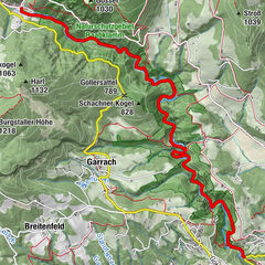
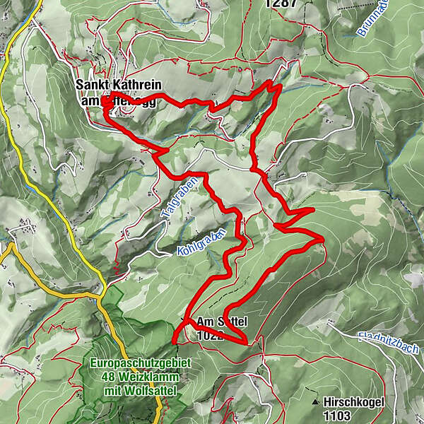
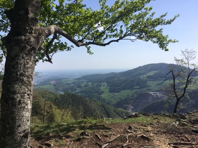
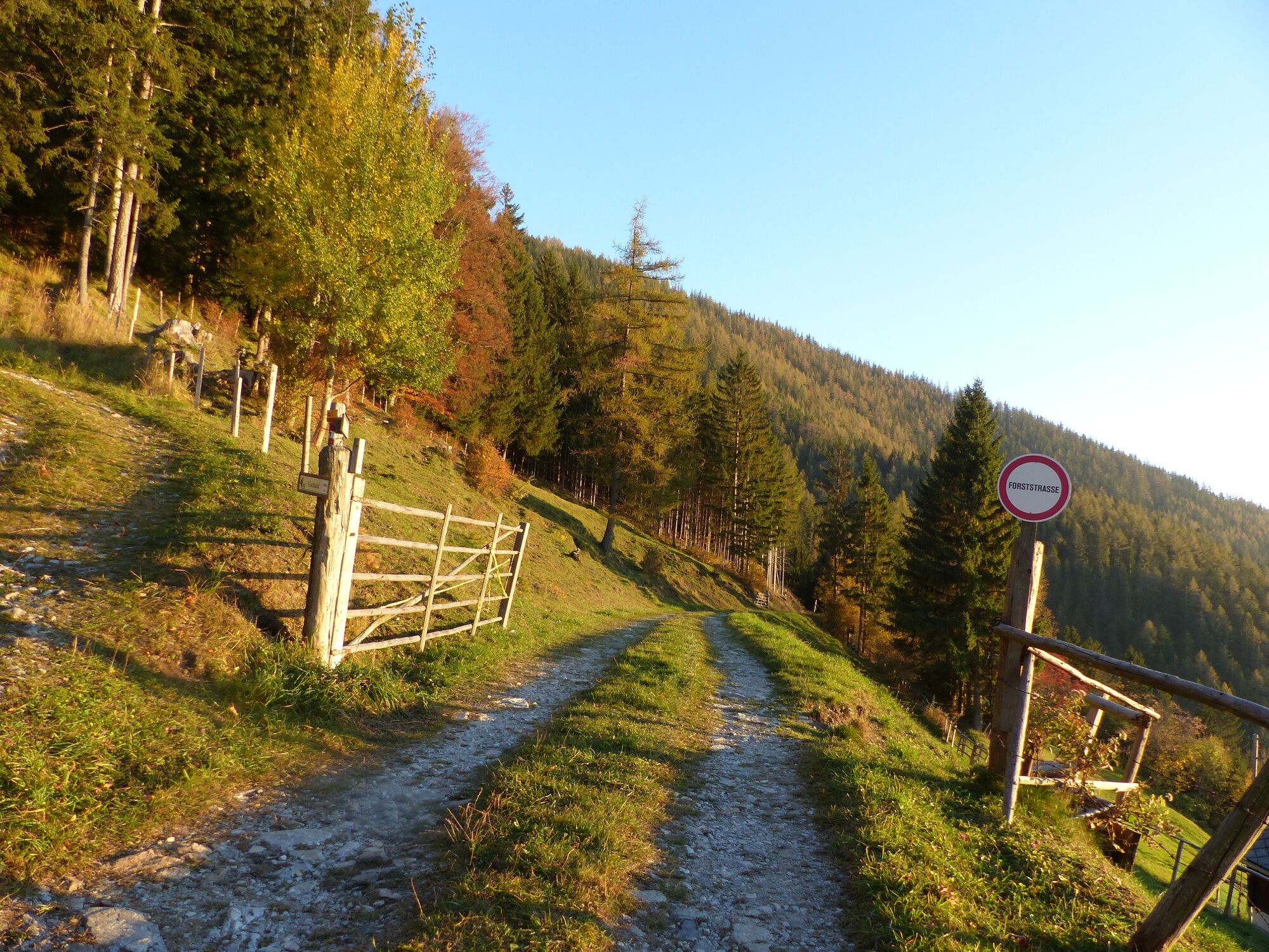
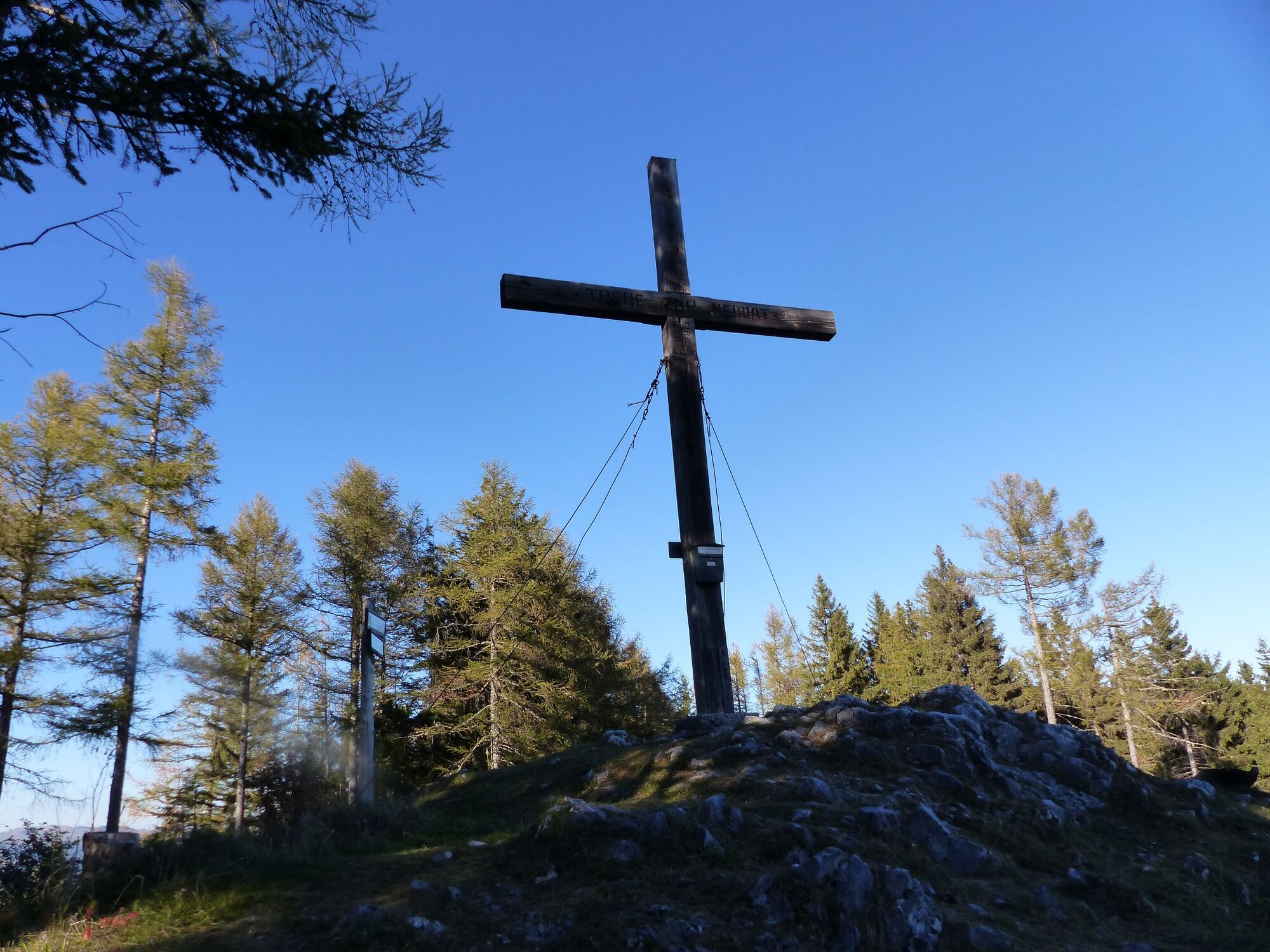
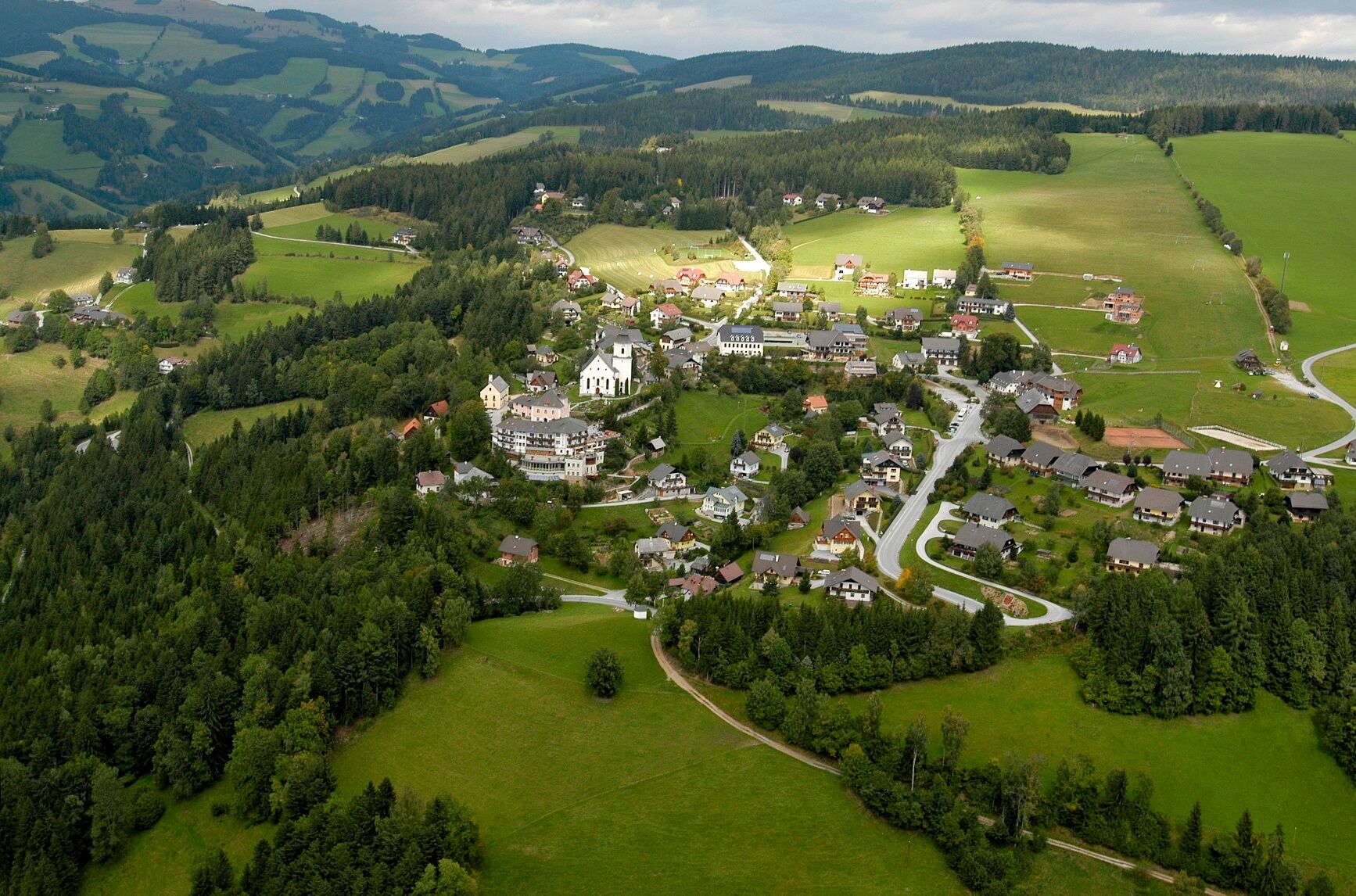
From the flower village of St. Kathrein to the Patscha saddle with its magnificent view and back via Gschaid and Zeil to the centre.
- Difficoltà
-
intermedio
- Valutazione
-
- Percorso
-
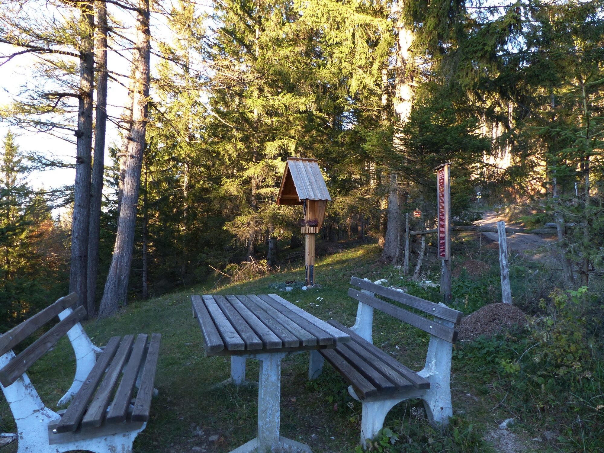
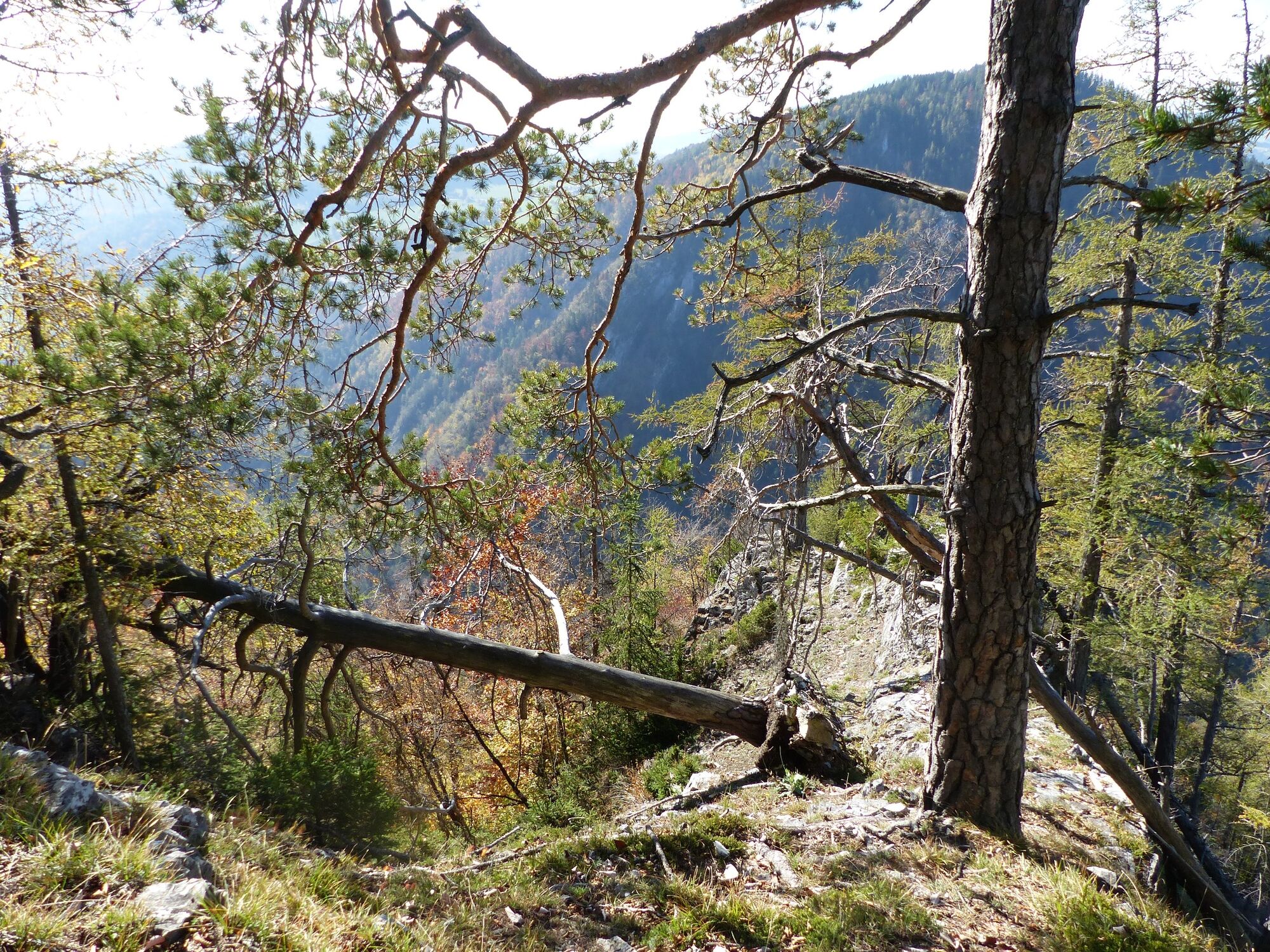
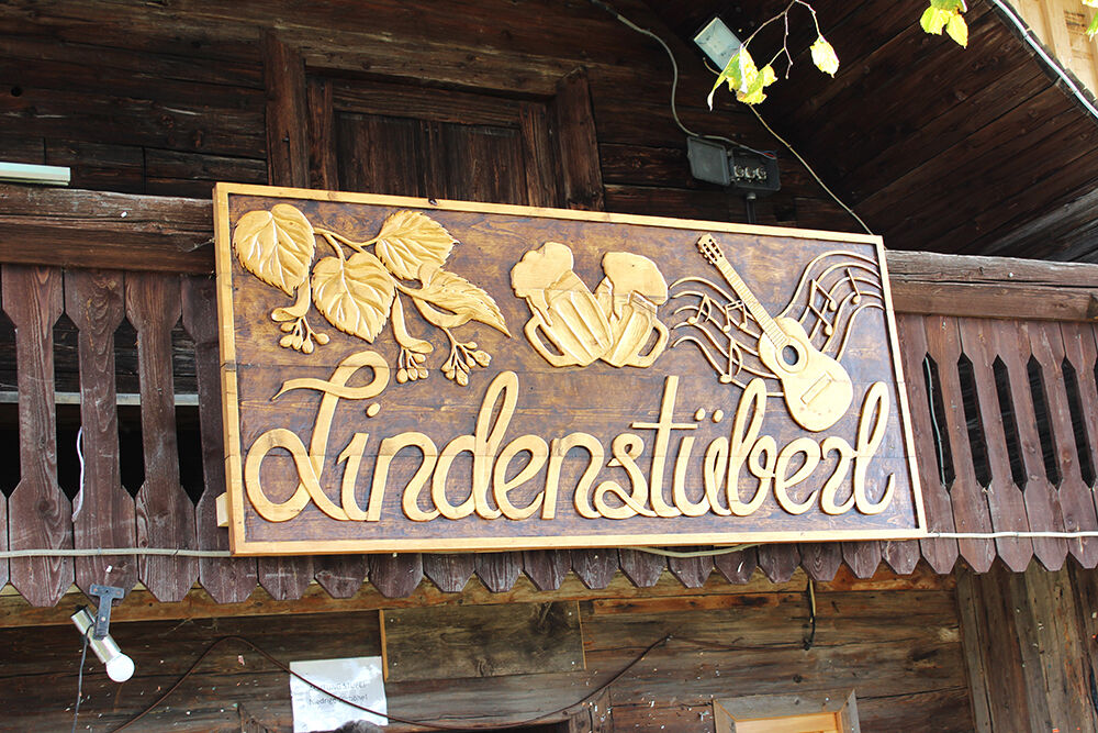
Sankt Kathrein am Offenegg0,2 kmDorf0,2 kmLambach0,7 kmKogl1,9 kmGreith2,9 kmPatschaloch3,5 kmAm Sattel (1.022 m)4,8 kmPatscha Gipfel (1.271 m)7,5 kmPatschahütte10,1 kmGschaid10,5 kmLindenstüberl13,3 kmLandgasthof Steinhauser14,1 kmSankt Kathrein am Offenegg14,2 kmDorf14,2 km
- La stagione migliore
-
genfebmaraprmaggiulugagosetottnovdic
- Punto più alto
- 1.270 m
- Destinazione
-
Hotel "Der WILDe EDER", Centre of St. Kathrein am Offenegg
- Profilo altimetrico
-


-

-
AutoreIl tour Patscha-Trail St. Kathrein am Offenegg è utilizzato da outdooractive.com fornito.
GPS Downloads


Info generali
Punto di ristoro
Promettente
Altri tour nelle regioni
-
Hochsteiermark
4084
-
Naturpark Almenland
1767
-
St. Kathrein am Offenegg
477