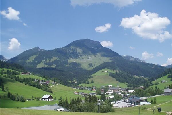
© Erlebnisregion Schladming-Dachstein - Christine Höflehner

© Erlebnisregion Schladming-Dachstein - Tourismusverband Ramsau am Dachstein

© Erlebnisregion Schladming-Dachstein - Christine Höflehner

© Erlebnisregion Schladming-Dachstein - Christine Höflehner

© Erlebnisregion Schladming-Dachstein - Tourismusverband Schladming-Dachstein

© Erlebnisregion Schladming-Dachstein - Tourismusverband Schladming-Dachstein

© Erlebnisregion Schladming-Dachstein - Tourismusverband Schladming-Dachstein
- Descrizione rapida
-
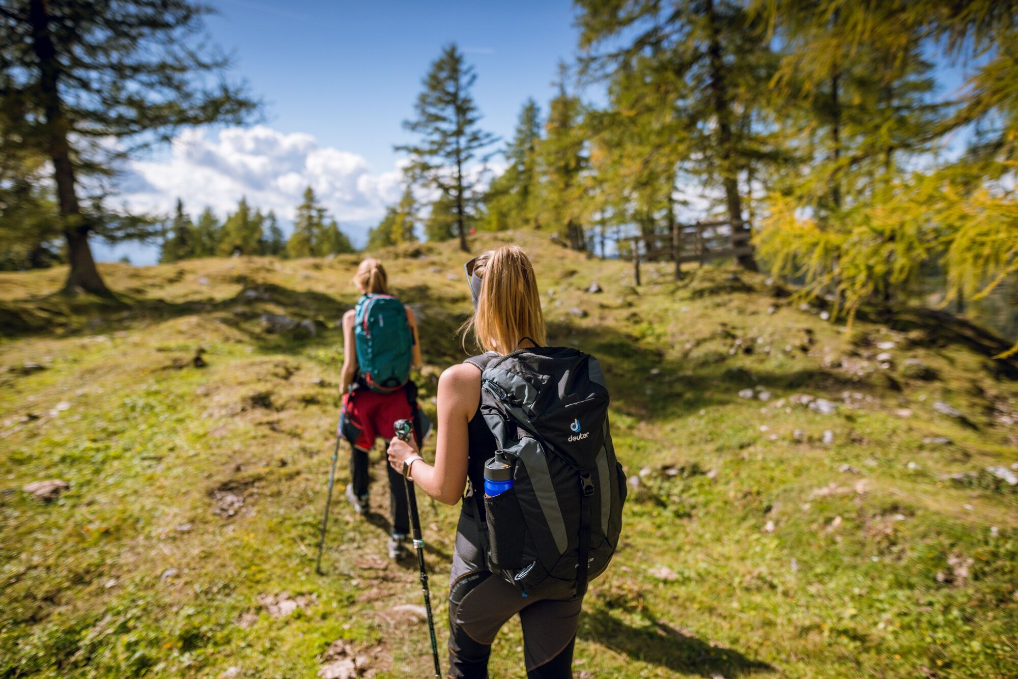
A steep but rewarding hike to the "Steinernen Jungfauen" - some bizarre psephitic rock formations.
- Difficoltà
-
intermedio
- Valutazione
-
- Percorso
-
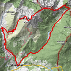
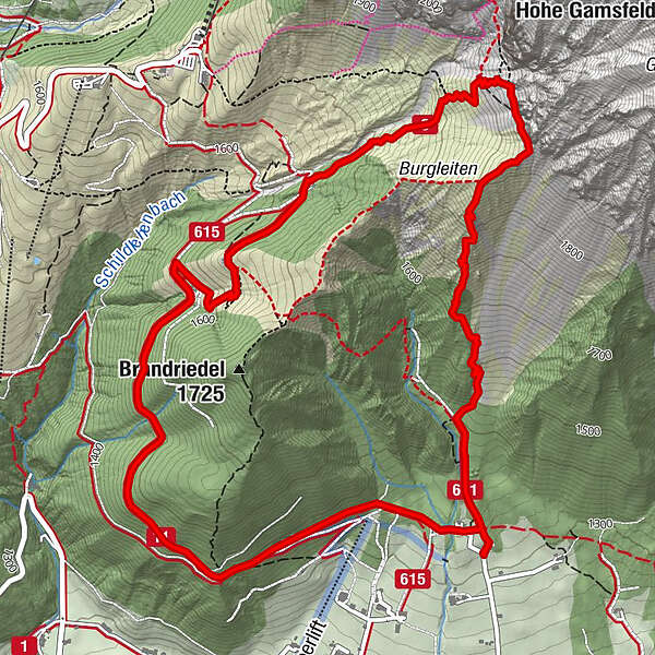
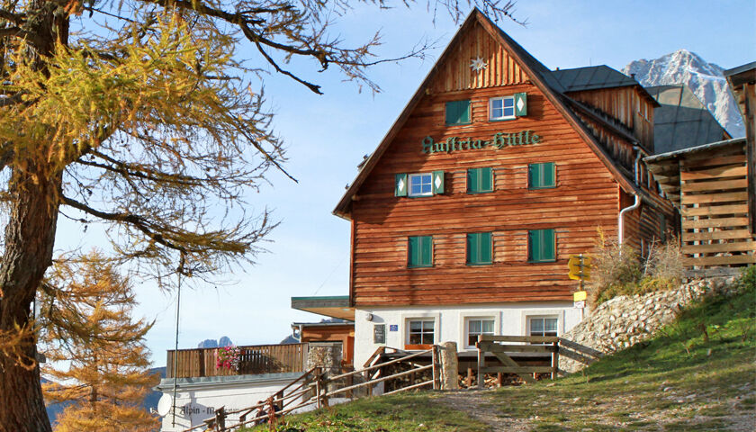
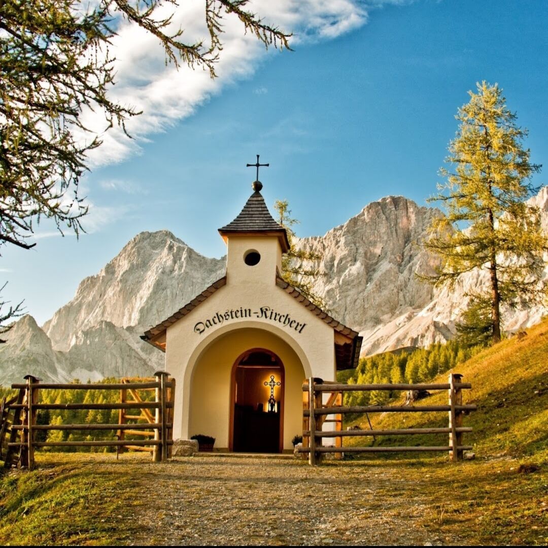
Jungfrauen1,3 kmAustriahütte4,1 kmBrandalm4,6 kmDachsteinhaus6,6 kmAlpengasthaus Edelbrunn7,4 km
- La stagione migliore
-
genfebmaraprmaggiulugagosetottnovdic
- Punto più alto
- 1.958 m
- Destinazione
-
Hiking trail head Edelbrunn-Roseggersteig
- Profilo altimetrico
-


-

-
AutoreIl tour Jungfrauensteig è utilizzato da outdooractive.com fornito.
GPS Downloads


Info generali
Punto di ristoro
Suggerimento
Promettente
Altri tour nelle regioni
-
Schladming - Dachstein
3001
-
Ramsau am Dachstein
1689
-
Dachstein Gletscher
527