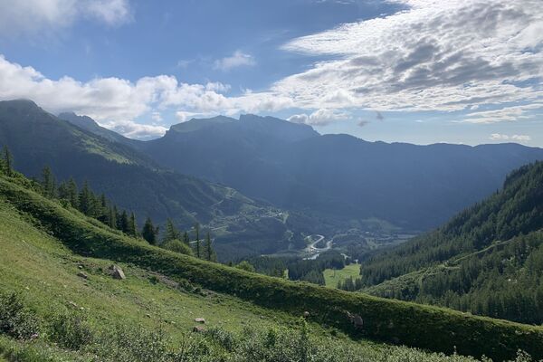
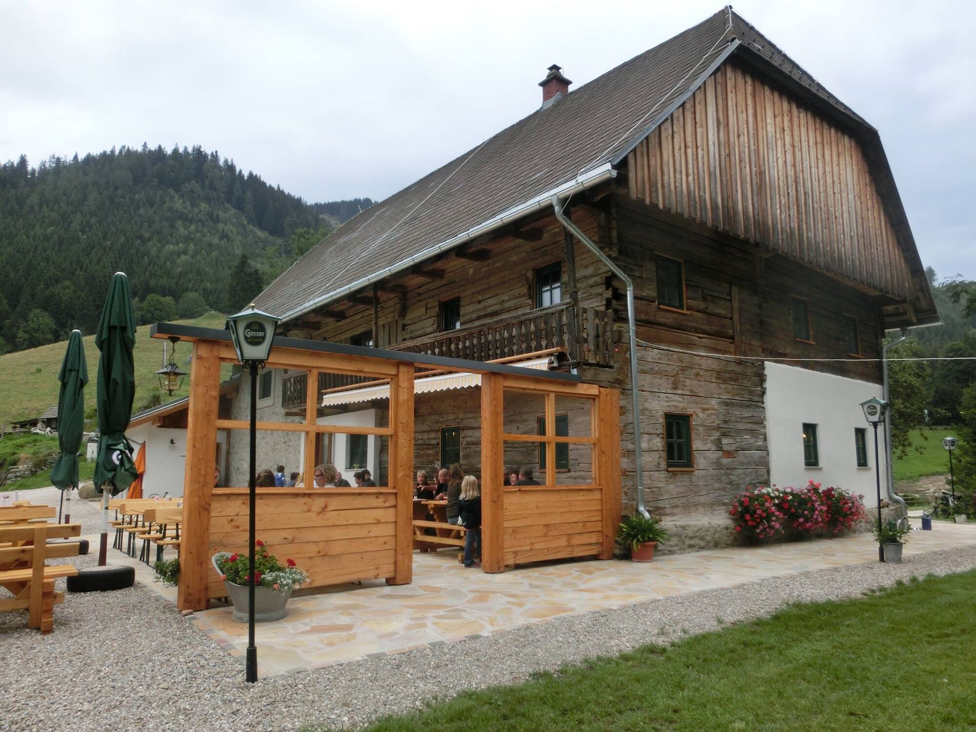
Stadlmaier Alm - excursion pasture in Leoben

Escursionismo

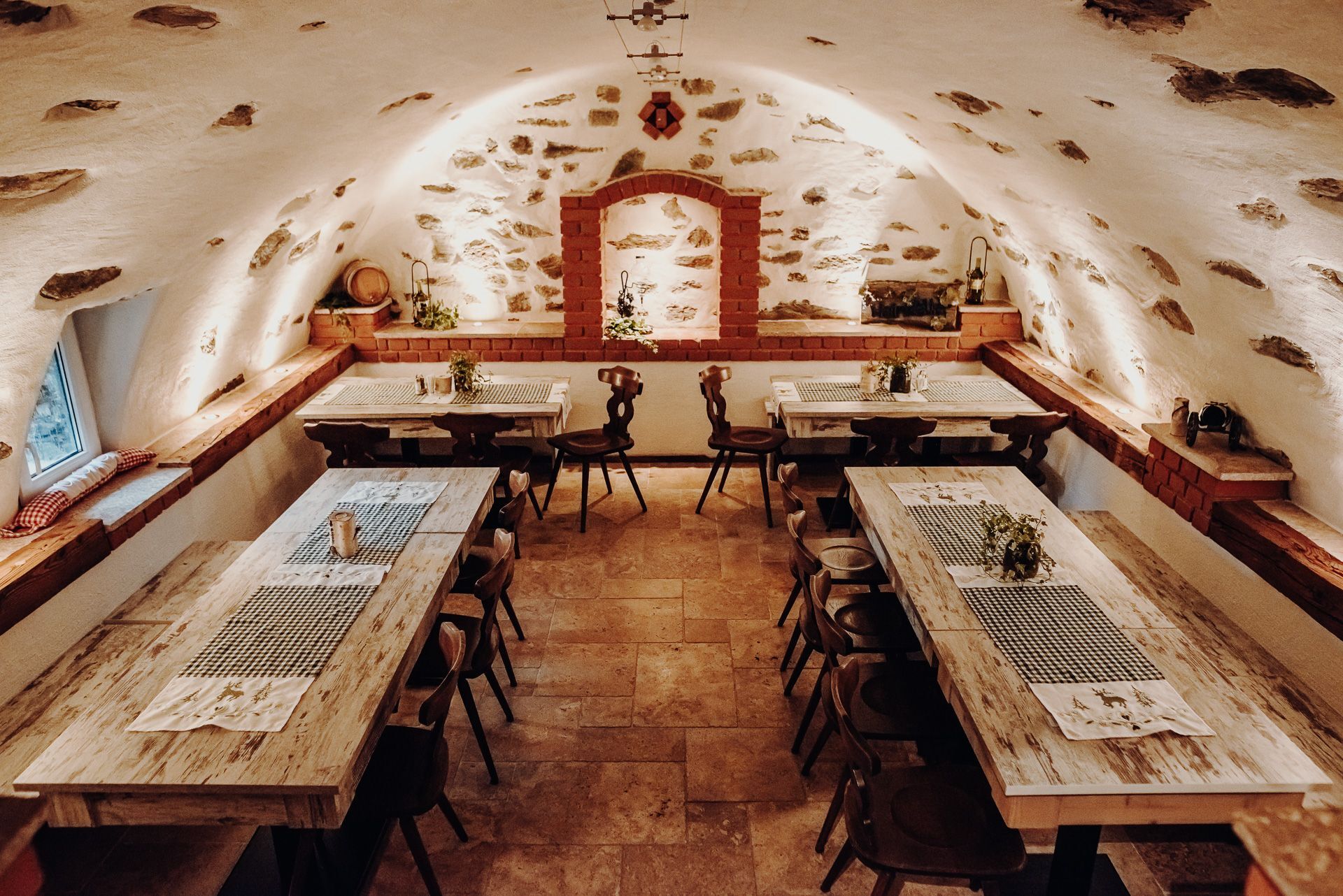
© GenussReich - Freilichtmomente

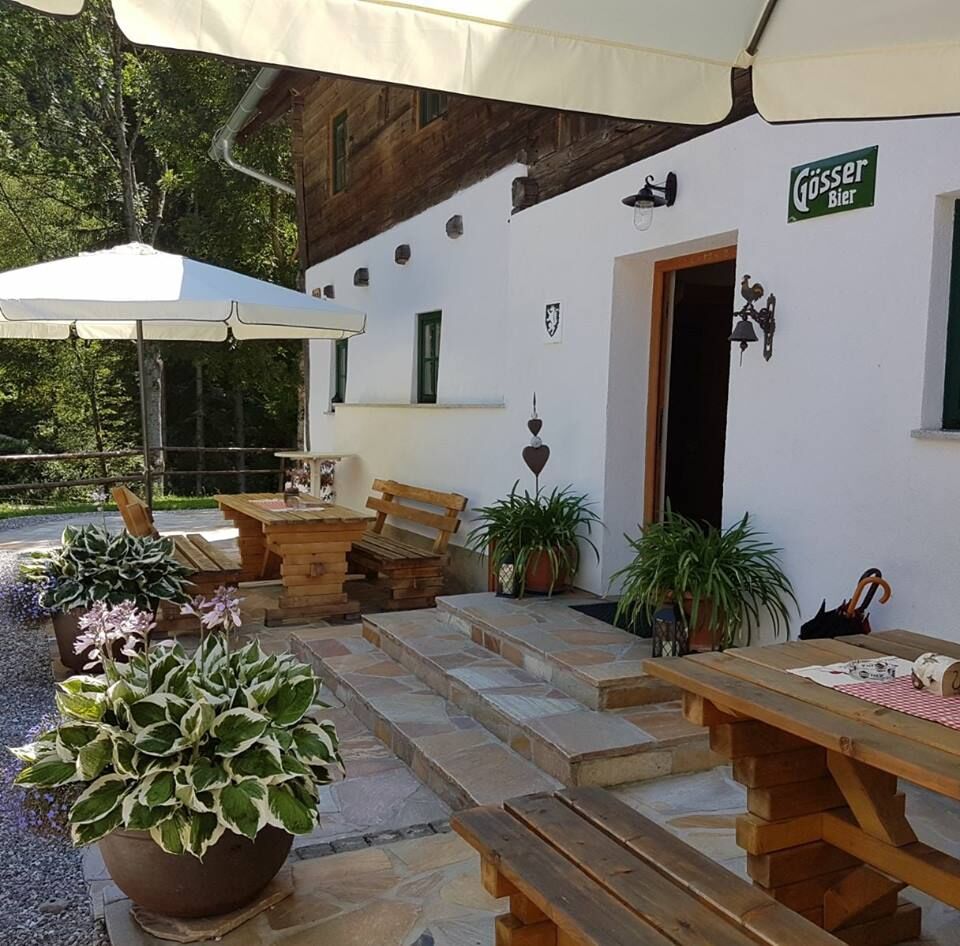
© GenussReich - Freilichtmomente

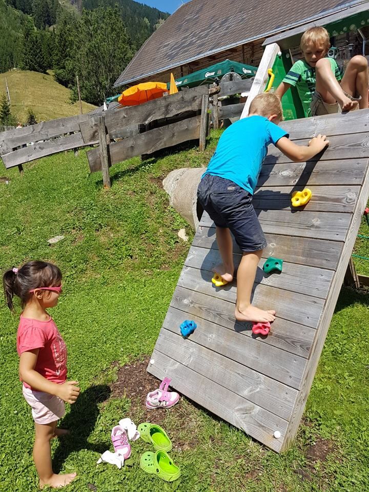
© GenussReich - Freilichtmomente

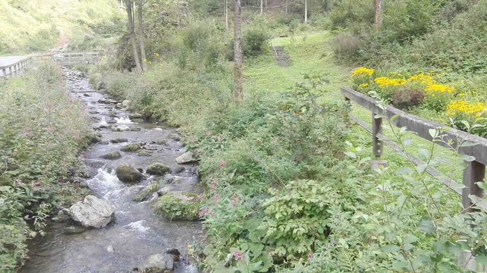
© GenussReich - Freilichtmomente

© GenussReich - Freilichtmomente

© https://www.facebook.com/Stadlmaier-Alm-866604910101122/ - TV Leoben

© https://www.facebook.com/Stadlmaier-Alm-866604910101122/ - TV Leoben

© Tourismusverband ERZBERG LEOBEN - TV Leoben

- Descrizione rapida
- Difficoltà
-
facile
- Valutazione
-
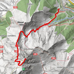
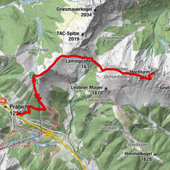
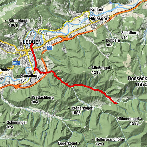
- Percorso
-
Klein-Gößgraben0,8 kmMaria Kaltenbrunn4,8 kmKaltenbrunn5,7 kmErlsbacher6,2 kmGöß7,1 kmNepomukkapelle7,6 kmSt. Alfonskirche8,6 kmWaasen8,9 kmLeoben9,2 km
- La stagione migliore
-
genfebmaraprmaggiulugagosetottnovdic
- Punto più alto
- 918 m
- Destinazione
-
Leoben main square
- Profilo altimetrico
-

- Autore
-
Il tour Stadlmaier Alm - excursion pasture in Leoben è utilizzato da outdooractive.com fornito.
GPS Downloads


Info generali
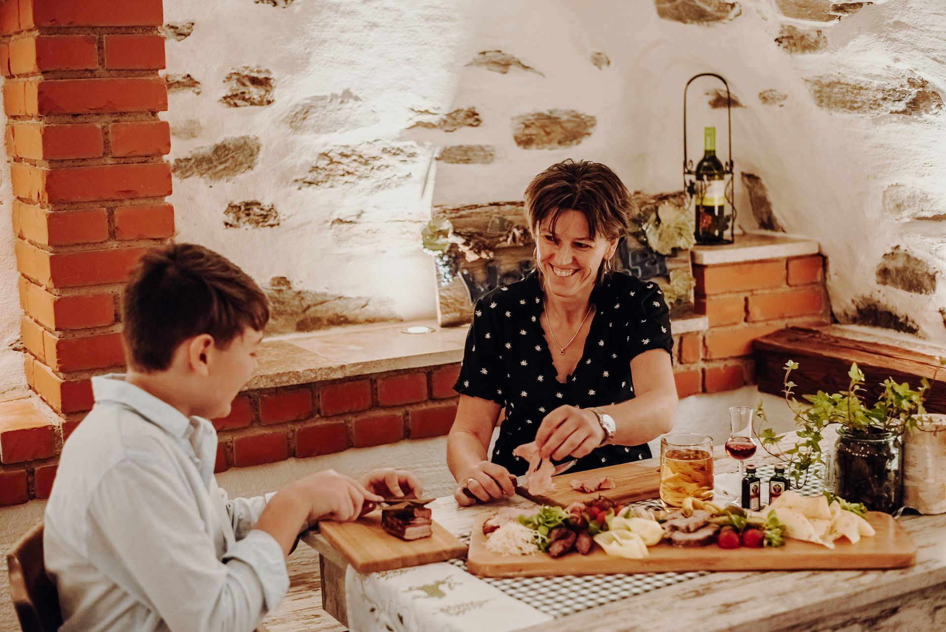
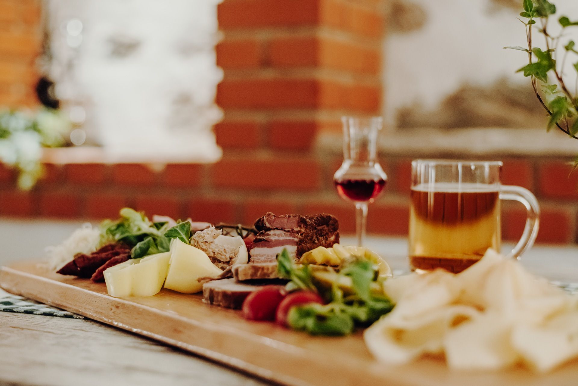
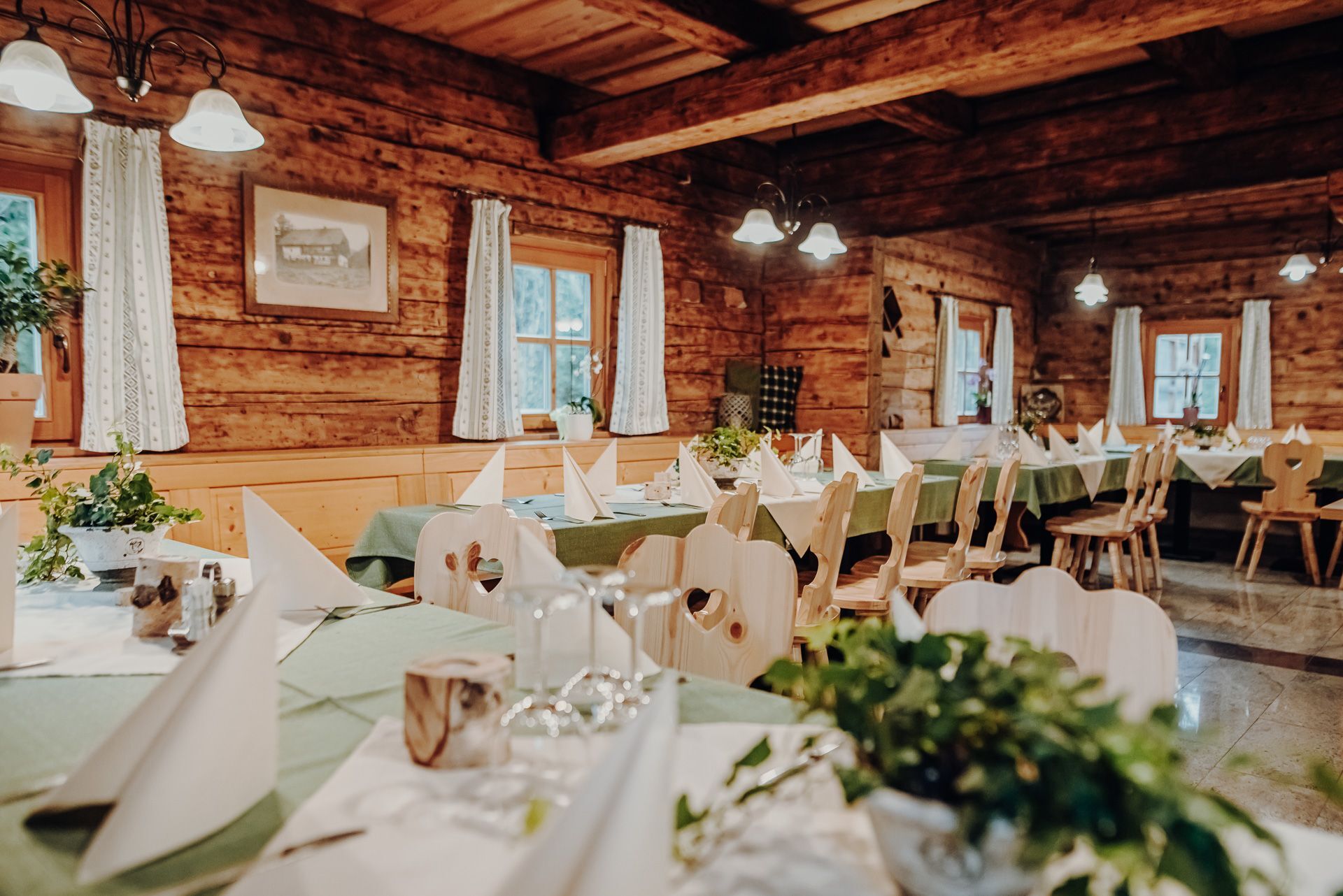
Punto di ristoro
Suggerimento
Altri tour nelle regioni
-
Erzberg Leoben
2530
-
Bruckmur-Kapfenberg
1500
-
Proleb
290