© Erlebnisregion Thermen- & Vulkanland - TV Gnas-St. Peter am Ottersbach

© Erlebnisregion Thermen- & Vulkanland - TV Gnas-St. Peter am Ottersbach

© Erlebnisregion Thermen- & Vulkanland - TV Gnas-St. Peter am Ottersbach

- Descrizione rapida
-
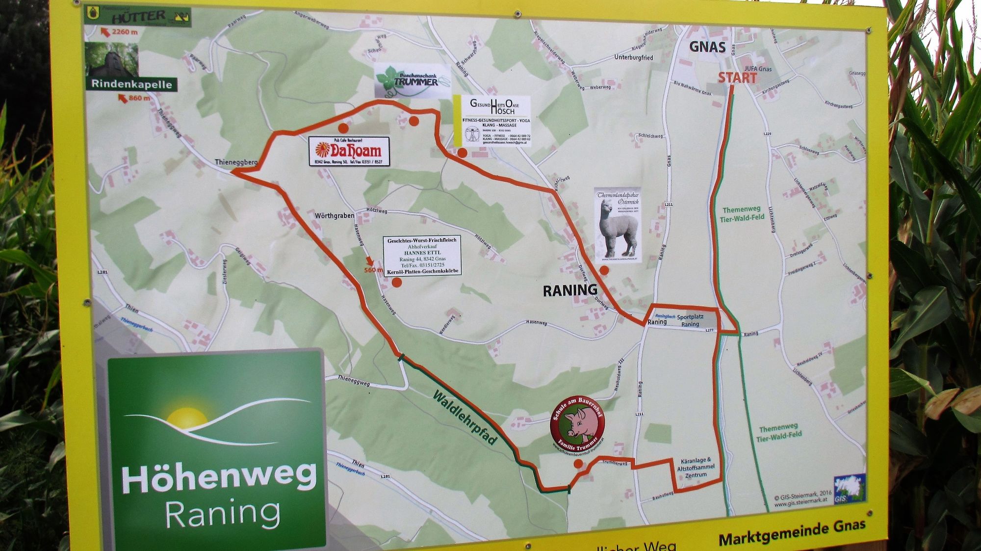
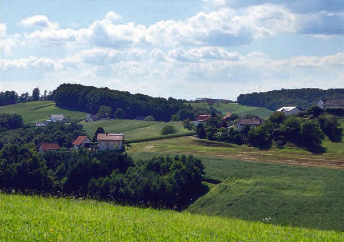
Cozy circular hiking trail with views from Gnas to Raning! Stop and visit the alpacas of Sven Roll!
- Difficoltà
-
intermedio
- Valutazione
-
- Percorso
-
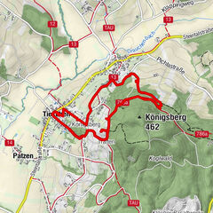
Thieneggberg4,2 kmBuschenschank Trummer4,8 kmGrabenberg5,8 kmDorfkapelle Raning6,6 kmRaning6,7 km
- La stagione migliore
-
genfebmaraprmaggiulugagosetottnovdic
- Punto più alto
- 382 m
- Destinazione
-
Gnas sports field (Sportplatz)
- Profilo altimetrico
-

-

-
AutoreIl tour Raning mountain path (Höhenweg Raning) è utilizzato da outdooractive.com fornito.
GPS Downloads


Info generali
Punto di ristoro
Promettente
Altri tour nelle regioni
-
Oststeiermark
2126
-
Bad Gleichenberg
372
-
Gnas
141