© Tourismusverband Region Murau - Tom Lamm

© Tourismusverband Region Murau - Tom Lamm

- Descrizione rapida
-
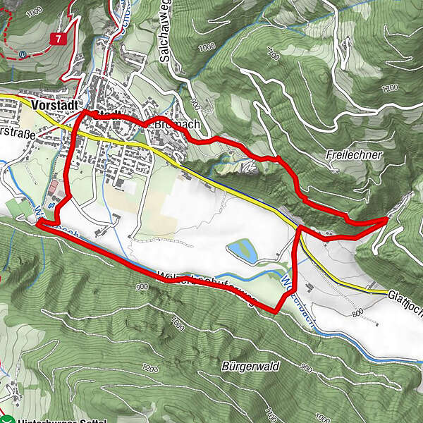
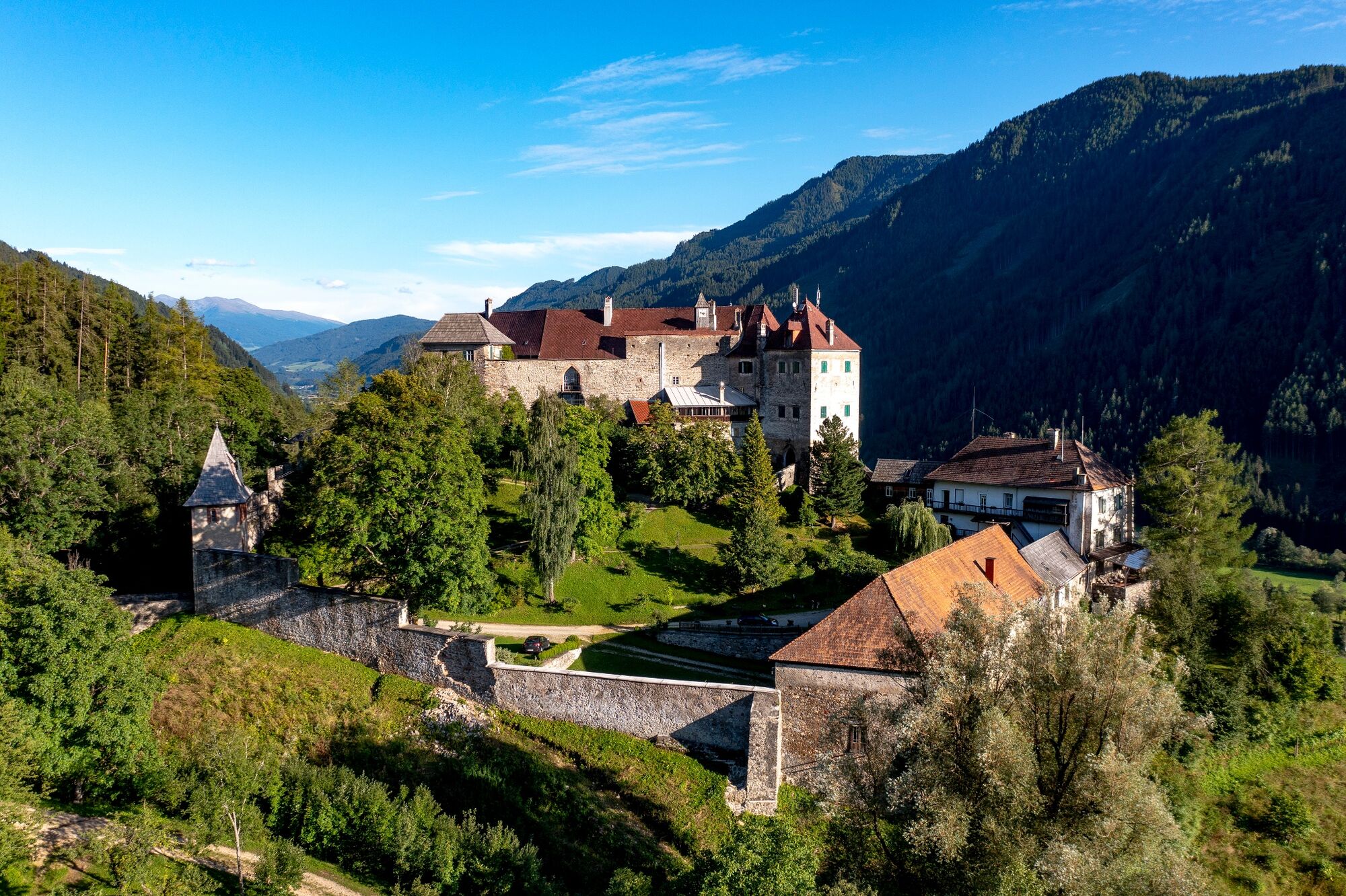
Child-friendly hike partly along the banks of the stream, partly in the forest, past the medieval castle and back to the town of Oberwölz.
- Difficoltà
-
intermedio
- Valutazione
-
- Percorso
-
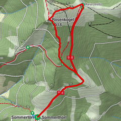
OberwölzStadt0,0 kmPfarrkirche hl. Martin0,0 kmFilialkirche hl. Sigismund0,0 kmJohannes-Nepomuk-Kapelle0,1 kmVorstadt0,1 kmBromach5,2 kmStadt5,7 kmPfarrkirche hl. Martin5,8 kmOberwölz5,8 kmFilialkirche hl. Sigismund5,8 km
- La stagione migliore
-
genfebmaraprmaggiulugagosetottnovdic
- Punto più alto
- 934 m
- Destinazione
-
Information board at the parish church
- Profilo altimetrico
-


- Autore
-
Il tour Kohlibauweg (path 13) è utilizzato da outdooractive.com fornito.
GPS Downloads


Info generali
Punto di ristoro
Promettente
Altri tour nelle regioni