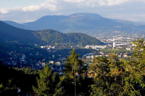
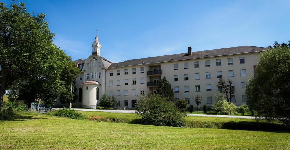
Up the Rannach and down into the Dultgraben

Escursionismo

© Region Graz - Meike Brucher
© Region Graz - Meike Brucher
© Region Graz - Meike Brucher

© Region Graz - Meike Brucher
© Region Graz - Meike Brucher

© Region Graz - Meike Brucher
- Descrizione rapida
-
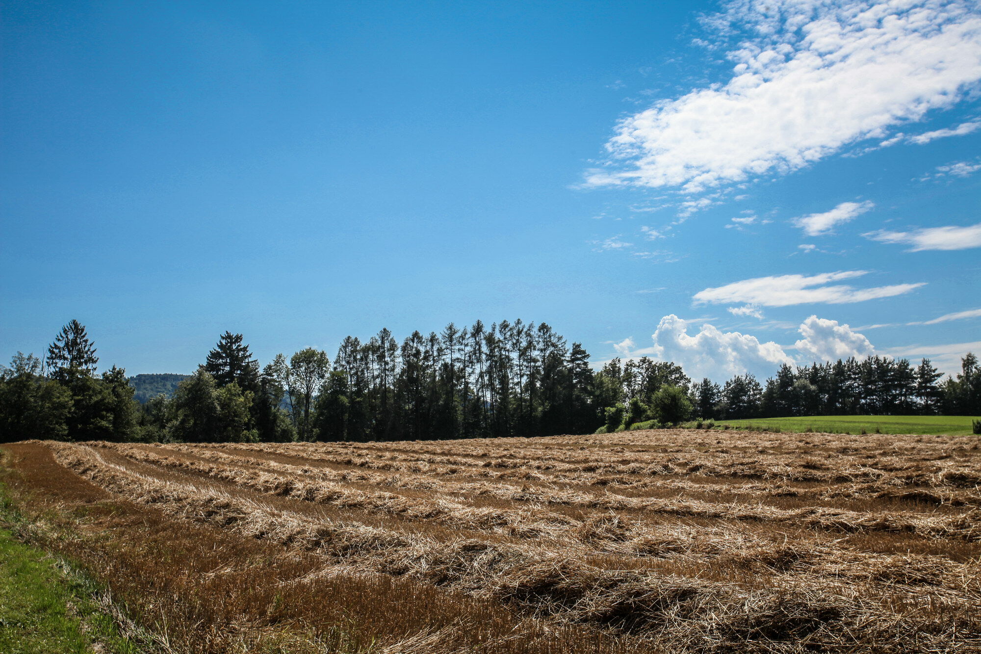
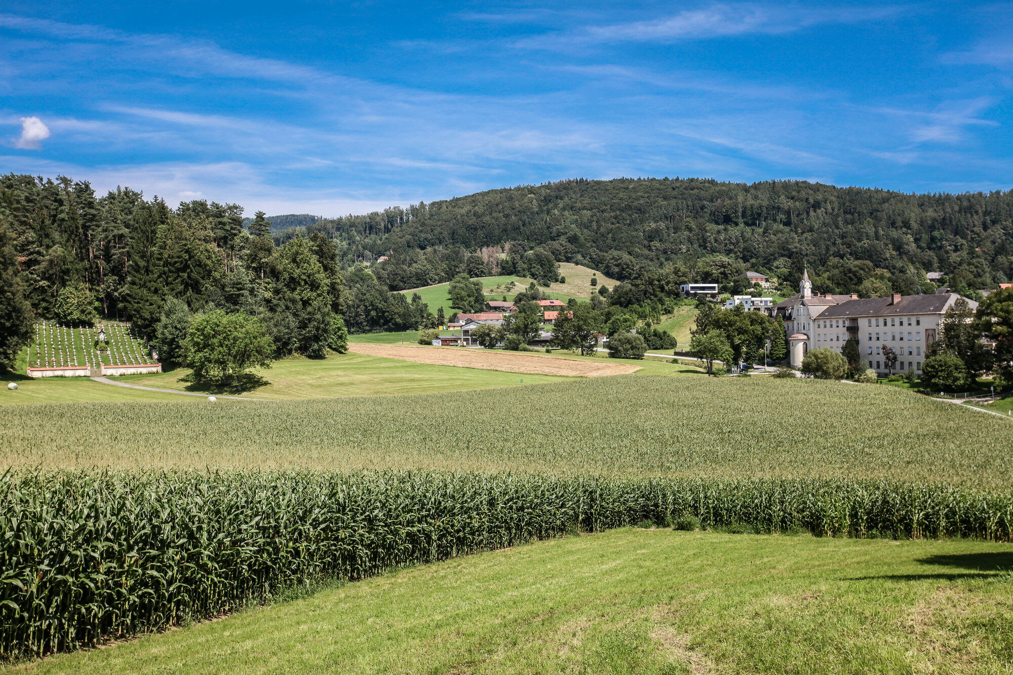
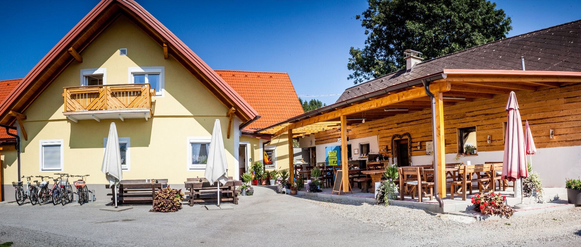
The great wide world at your doorstep: an alpine garden, a mountain cemetery, a lovely tavern and lots more.
- Difficoltà
-
facile
- Valutazione
-
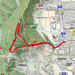
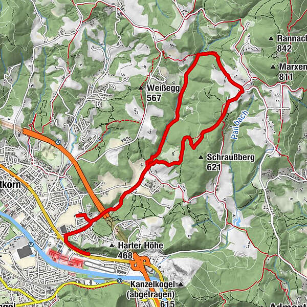
- Percorso
-
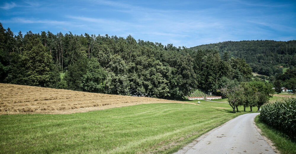
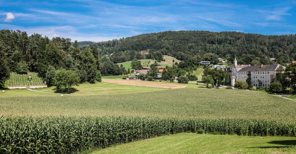
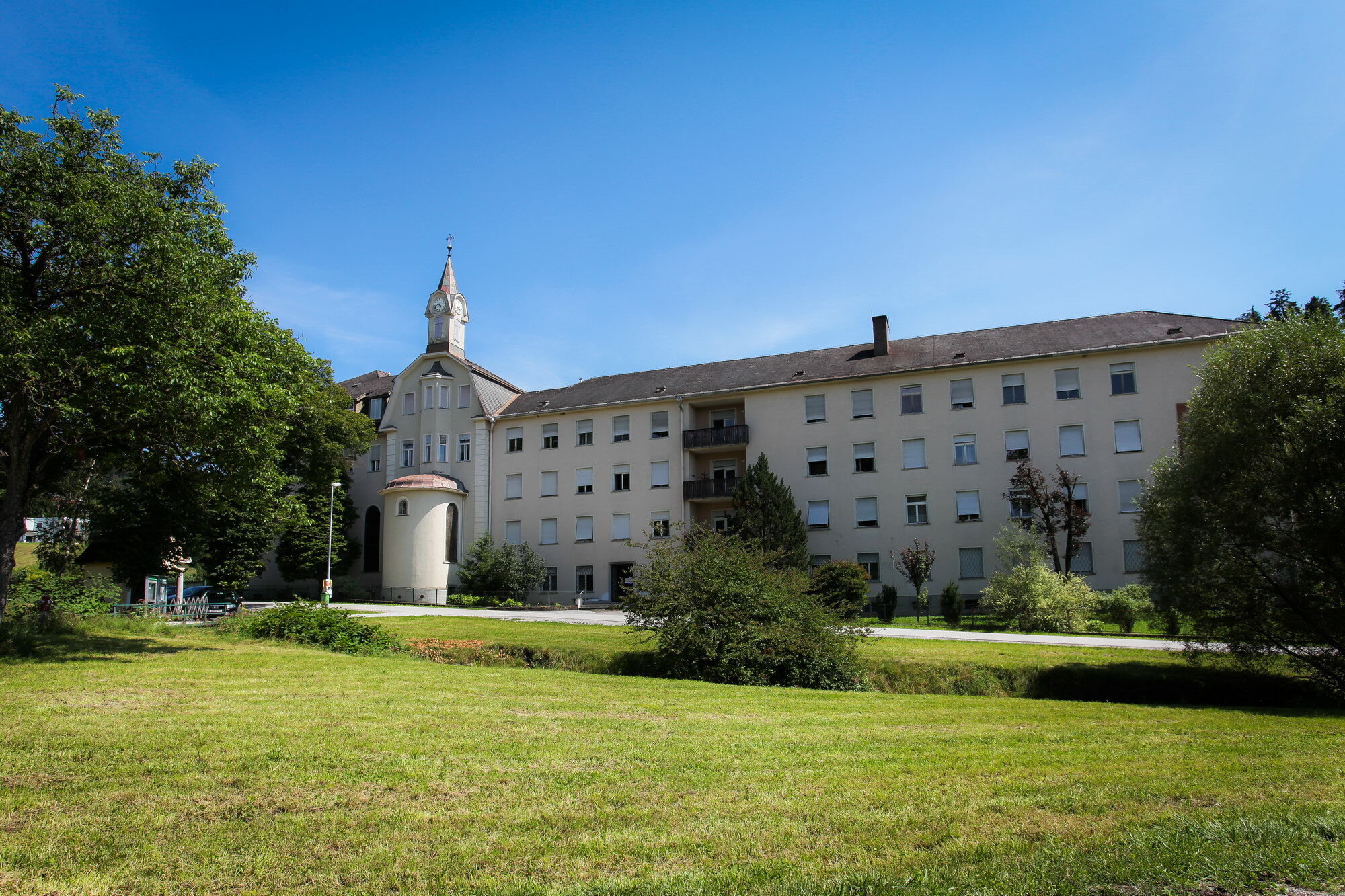
Lourdes-Kapelle1,9 kmKloster in der Dult2,0 kmAlpengarten Rannach6,1 kmKloster in der Dult8,9 kmLourdes-Kapelle8,9 km
- La stagione migliore
-
genfebmaraprmaggiulugagosetottnovdic
- Punto più alto
- 654 m
- Destinazione
-
Park & Ride parking area in Gratkorn behind the BP petrol station
- Profilo altimetrico
-


- Autore
-
Il tour Up the Rannach and down into the Dultgraben è utilizzato da outdooractive.com fornito.
GPS Downloads


Altri tour nelle regioni
-
Erlebnisregion Graz
2782
-
Graz und Region Graz
1525
-
Gratkorn
763