

© Tourismusverband Region Murau - Jasmin Schmidt

- Descrizione rapida
-
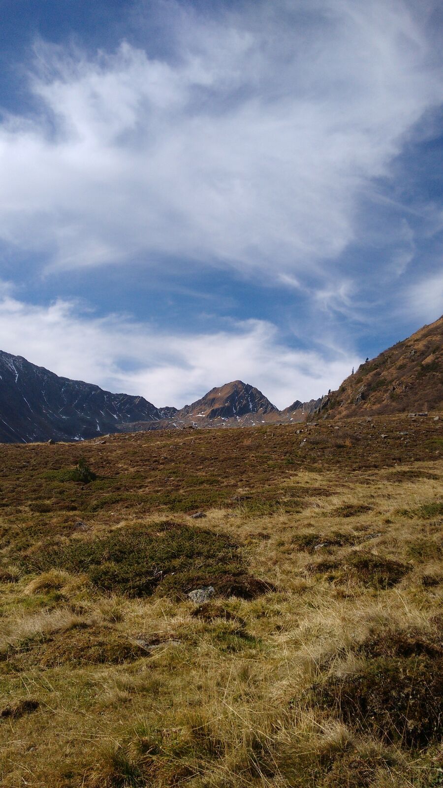
A challenging hiking trail with magnificent views of the surrounding mountains of the Ennstal Alps.
- Difficoltà
-
difficile
- Valutazione
-
- Percorso
-
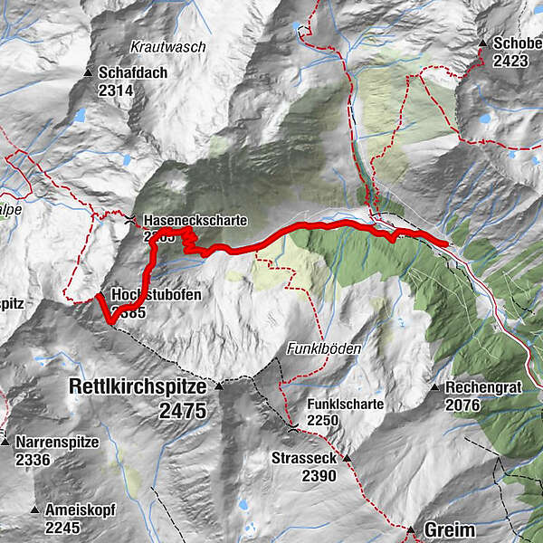
Rocklscharte4,9 kmHochstubofen (2.385 m)5,3 km
- La stagione migliore
-
genfebmaraprmaggiulugagosetottnovdic
- Punto più alto
- 2.361 m
- Destinazione
-
Hochstubofen
- Profilo altimetrico
-

- Autore
-
Il tour Hochstubofen è utilizzato da outdooractive.com fornito.
GPS Downloads


Info generali
Punto di ristoro
Suggerimento
Promettente
Altri tour nelle regioni
-
TourismusRegion Murau
1743
-
Naturpark Sölktäler
927
-
Schöder
200


