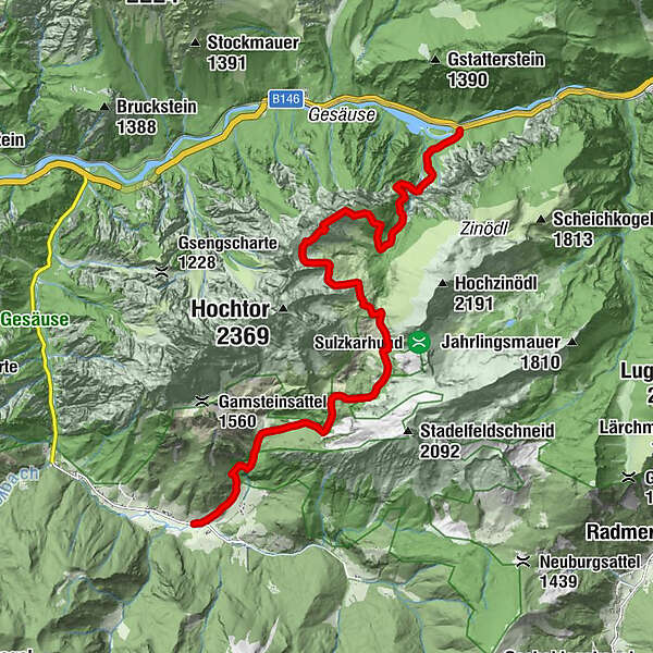
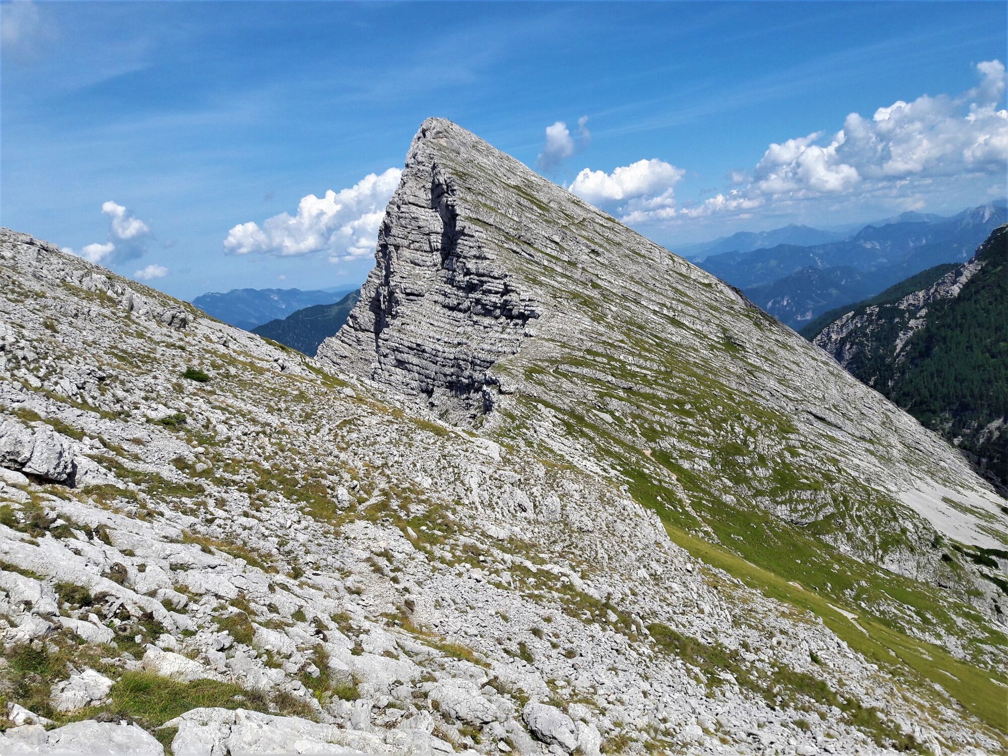
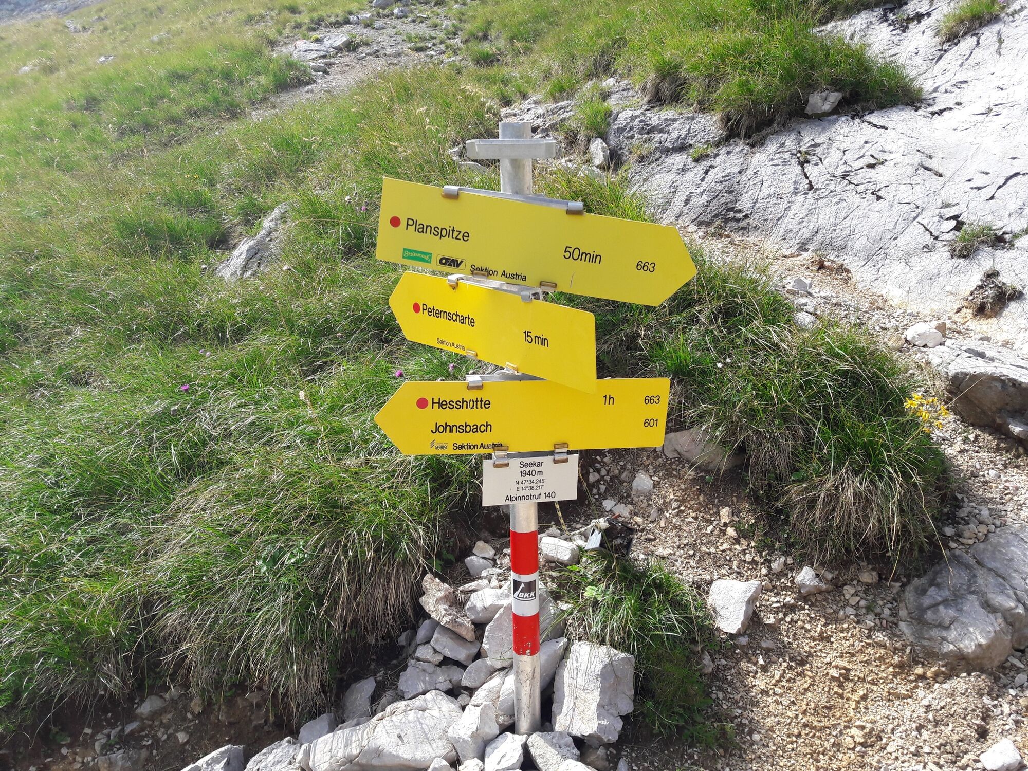
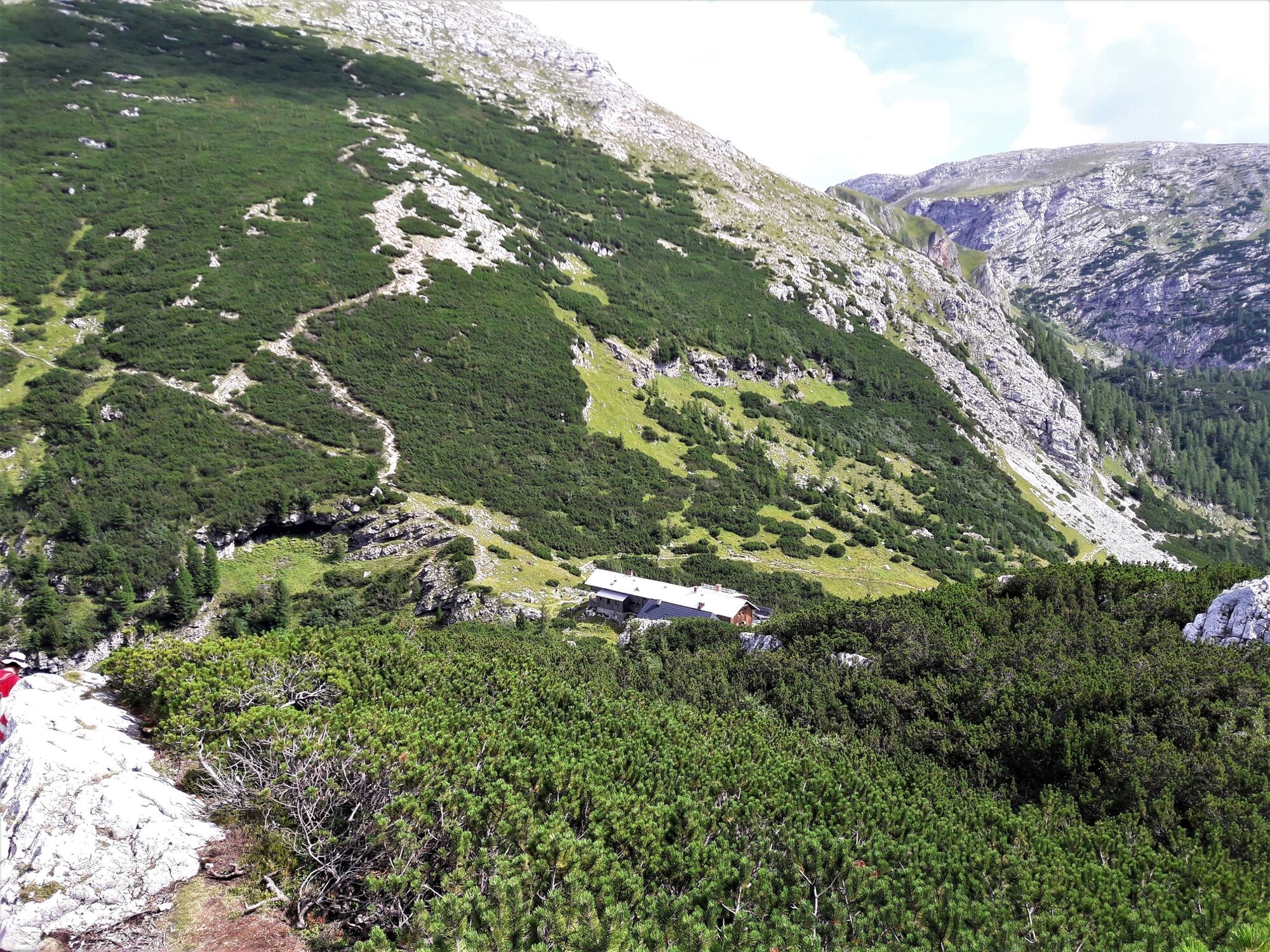
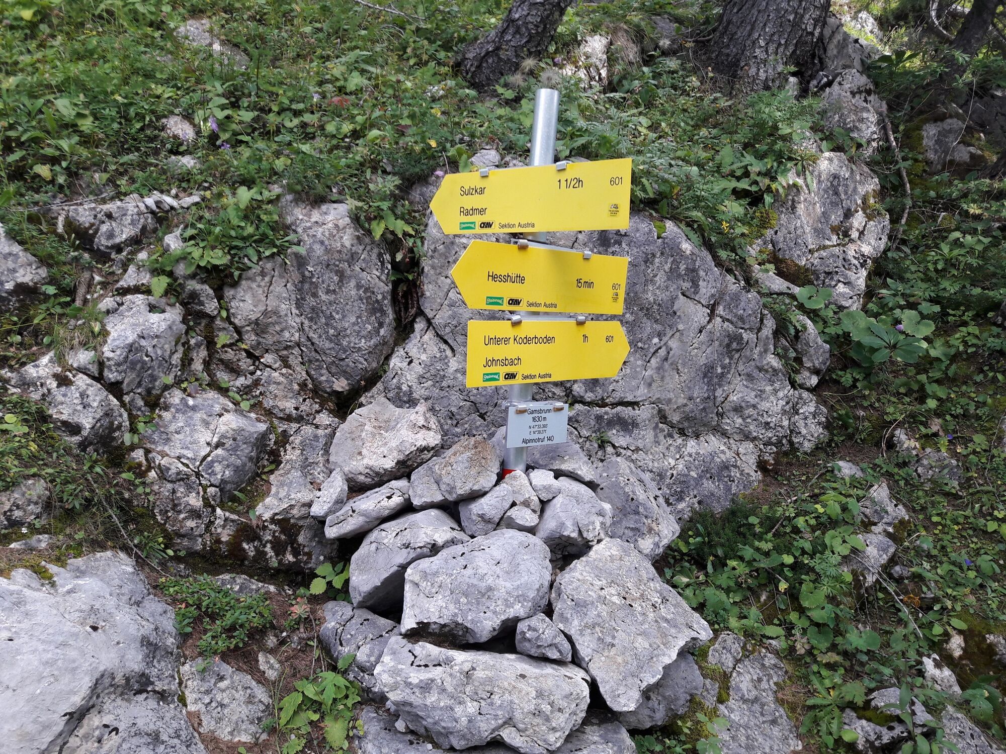
Via the Wasserfallweg to the Planspitze and via the Heßhütte down to Johnsbach

Escursionismo

© TV Gesäuse - Tourismusverband Gesäuse

© TV Gesäuse - Tourismusverband Gesäuse

© TV Gesäuse - Tourismusverband Gesäuse

© TV Gesäuse - Tourismusverband Gesäuse

© TV Gesäuse - Tourismusverband Gesäuse

© TV Gesäuse - Tourismusverband Gesäuse

© TV Gesäuse - Tourismusverband Gesäuse

© TV Gesäuse - Tourismusverband Gesäuse

© TV Gesäuse - Tourismusverband Gesäuse

© TV Gesäuse - Tourismusverband Gesäuse

- Descrizione rapida
-
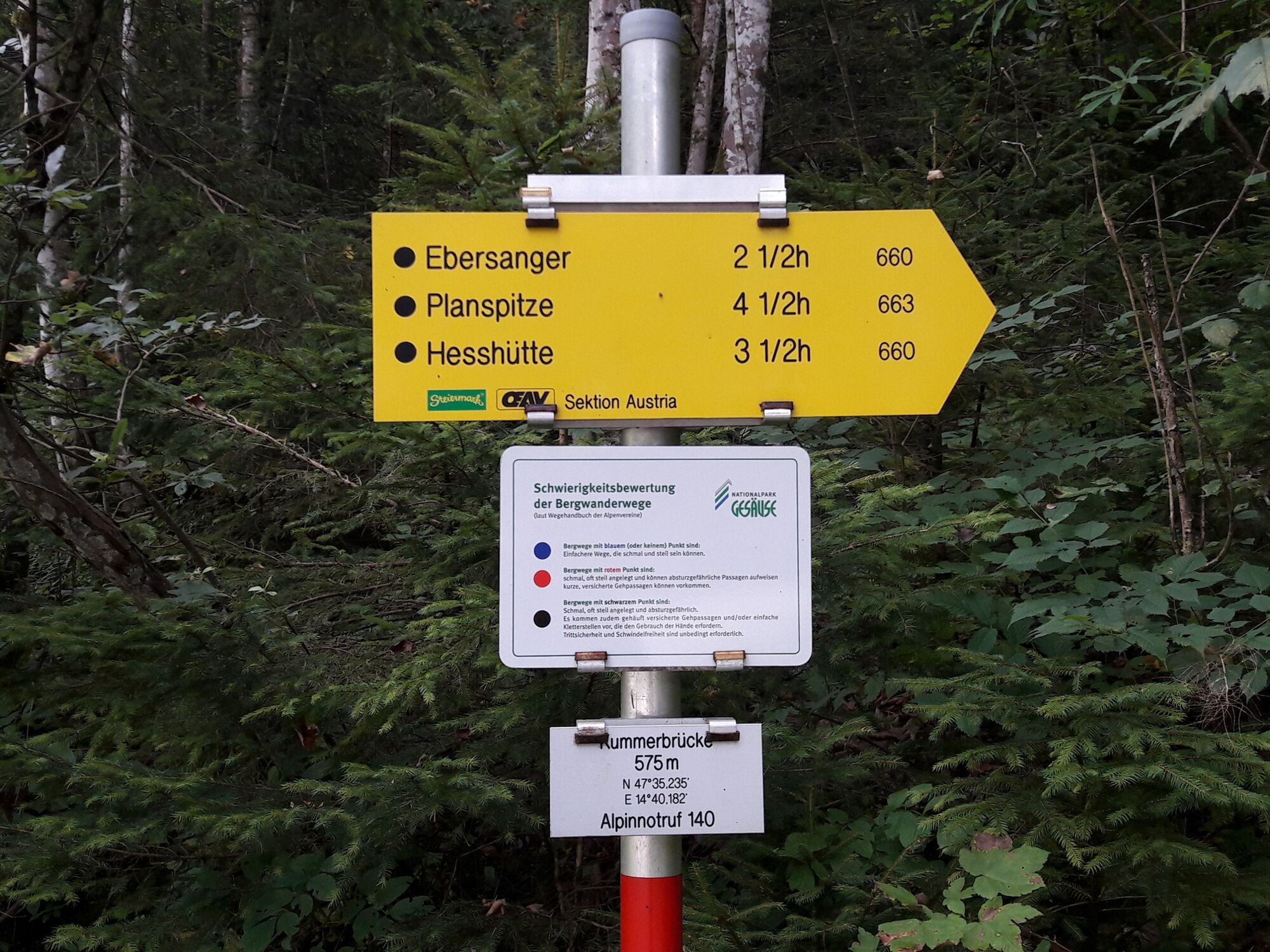
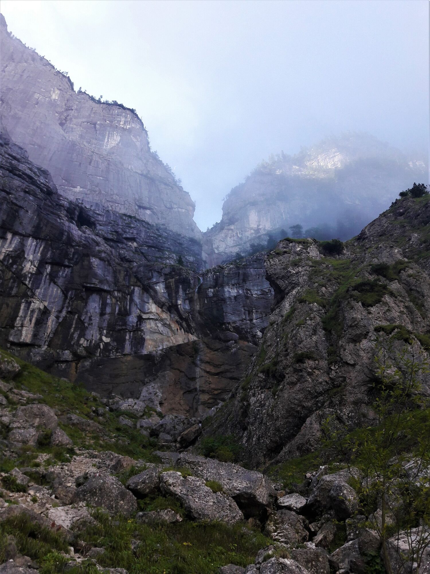
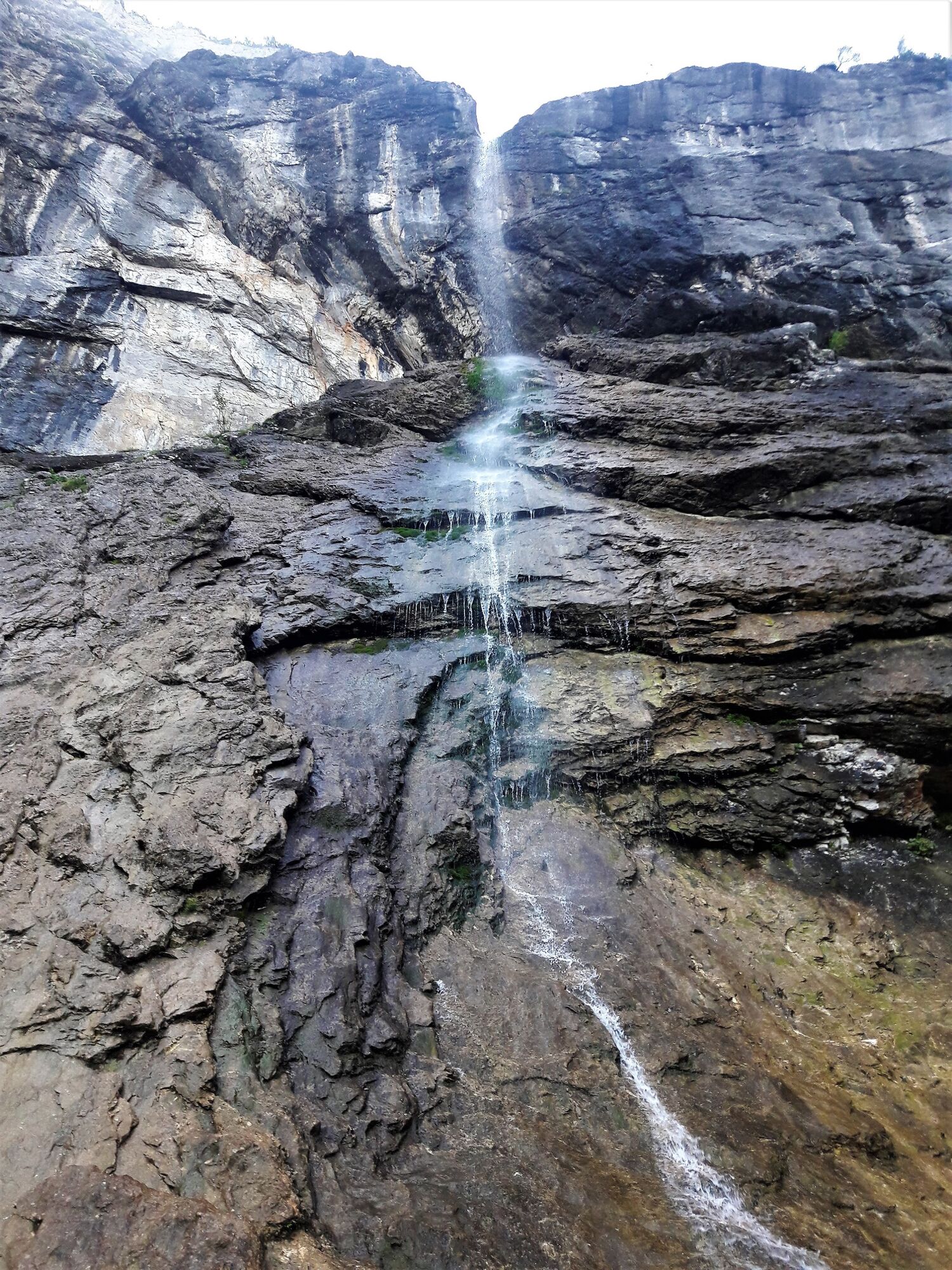
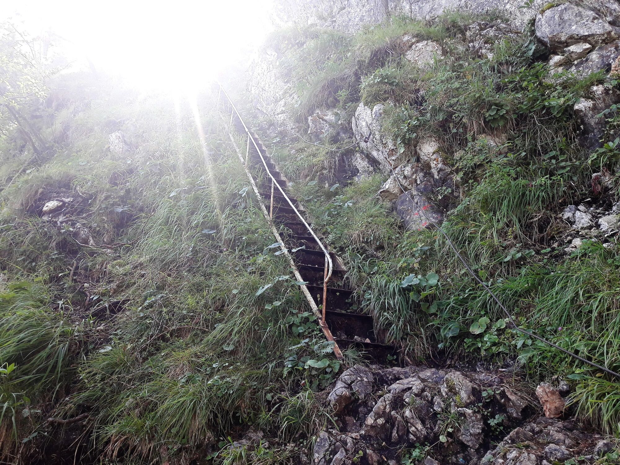
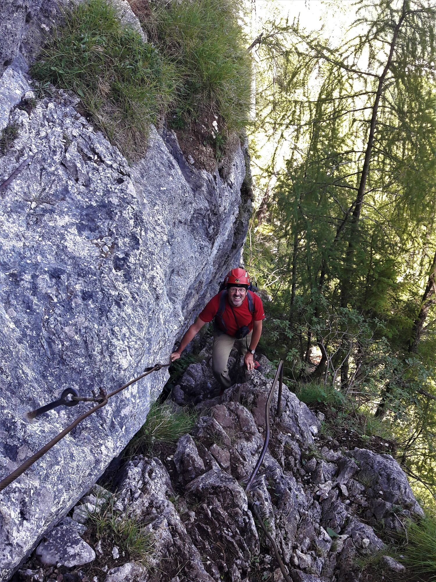
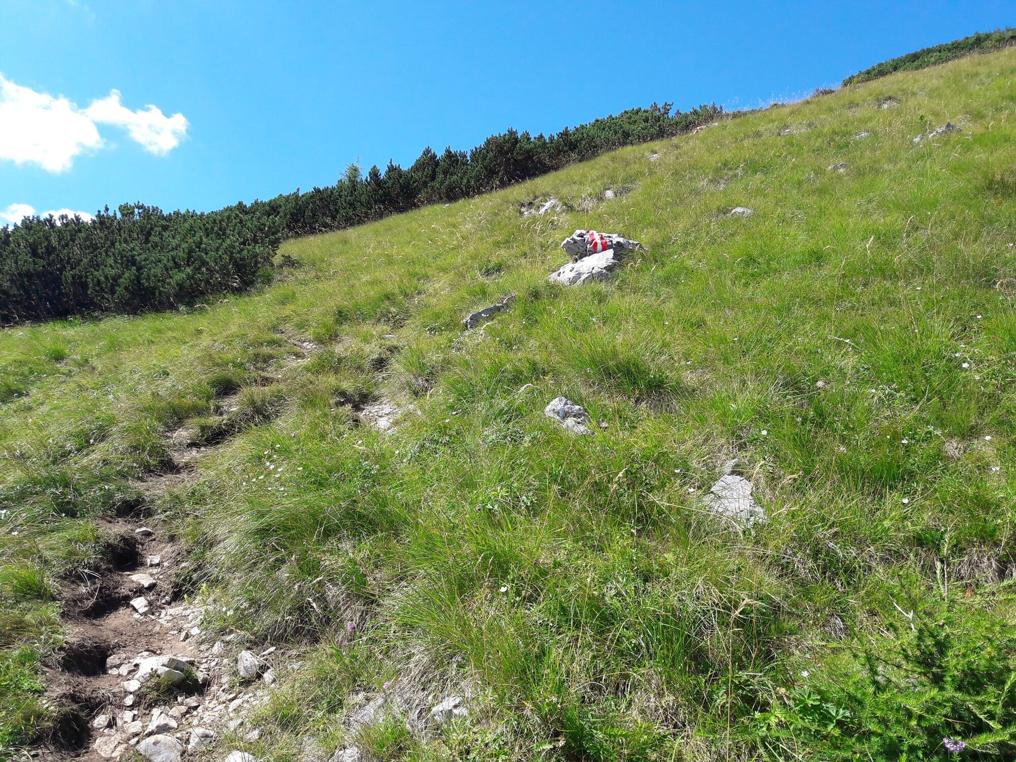
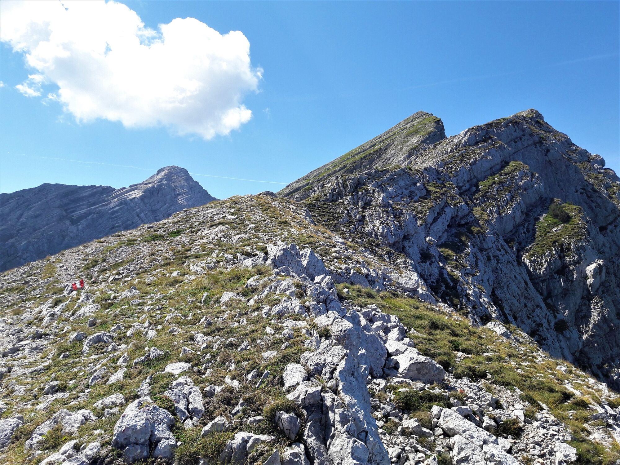
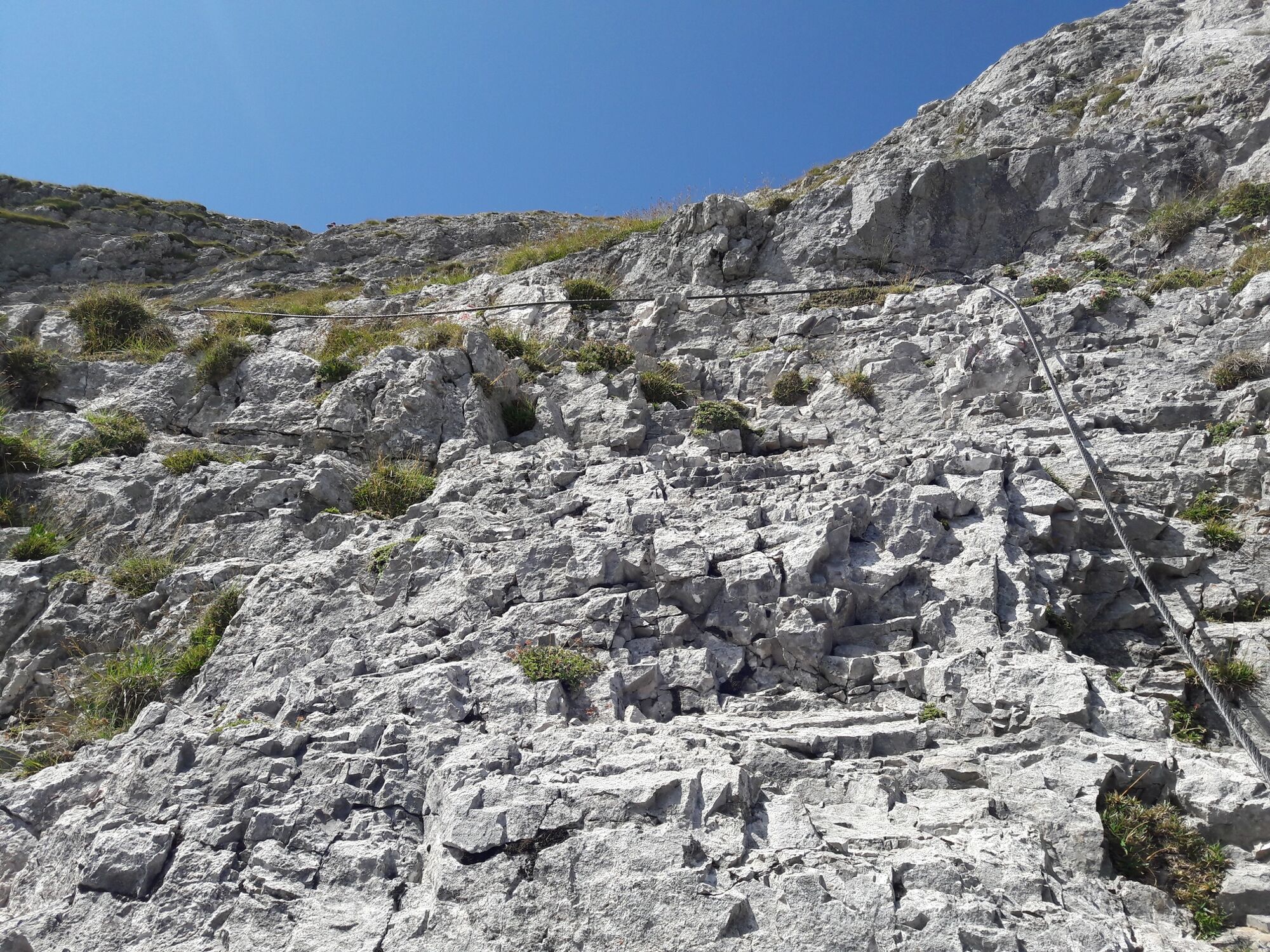
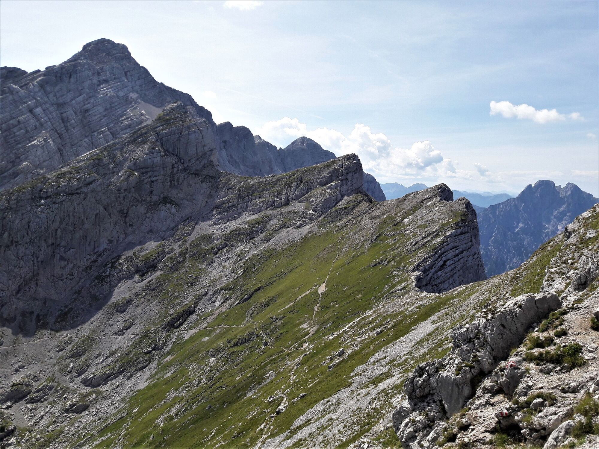
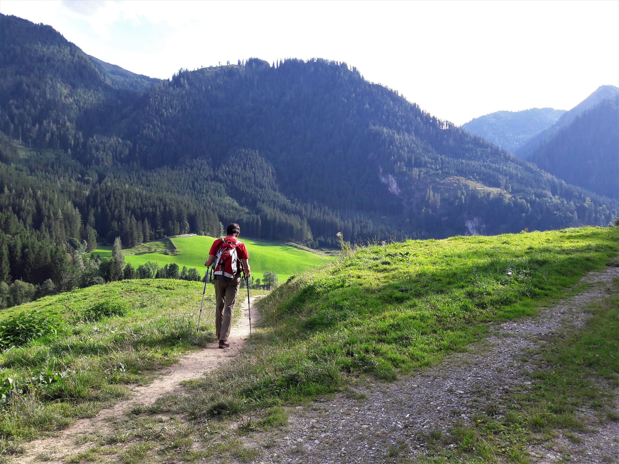
Via the Klettsteig passages of the waterfall path and the Kölblplan you cross the Planspitze. On the descent, the path leads to the well-known Heßhütte and on to Johnsbach.
- Difficoltà
-
difficile
- Valutazione
-
- Percorso
-
Planspitze (2.114 m)5,1 kmHesshütte7,7 kmGamsbrunnen8,4 kmWolfbauer Wasserfall12,4 kmKölblwirt14,0 km
- La stagione migliore
-
genfebmaraprmaggiulugagosetottnovdic
- Punto più alto
- 2.072 m
- Destinazione
-
Gasthaus Kölblwirt
- Profilo altimetrico
-

-

-
AutoreIl tour Via the Wasserfallweg to the Planspitze and via the Heßhütte down to Johnsbach è utilizzato da outdooractive.com fornito.
GPS Downloads


Info generali
Punto di ristoro
Promettente


")


