

© TV Gesäuse - Tourismusverband Gesäuse

© TV Gesäuse - Tourismusverband Gesäuse

© TV Gesäuse - Tourismusverband Gesäuse

© TV Gesäuse - Tourismusverband Gesäuse

© TV Gesäuse - Tourismusverband Gesäuse

© TV Gesäuse - Tourismusverband Gesäuse

© TV Gesäuse - Tourismusverband Gesäuse

© TV Gesäuse - Tourismusverband Gesäuse

© TV Gesäuse - Tourismusverband Gesäuse

© TV Gesäuse - Tourismusverband Gesäuse


- Descrizione rapida
-
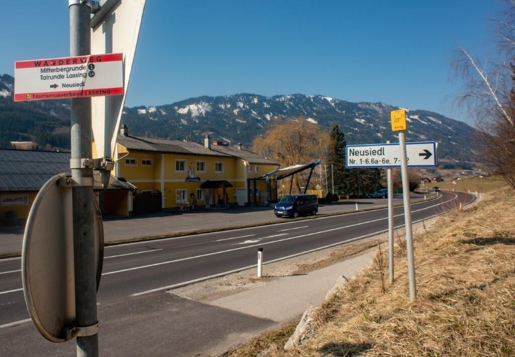
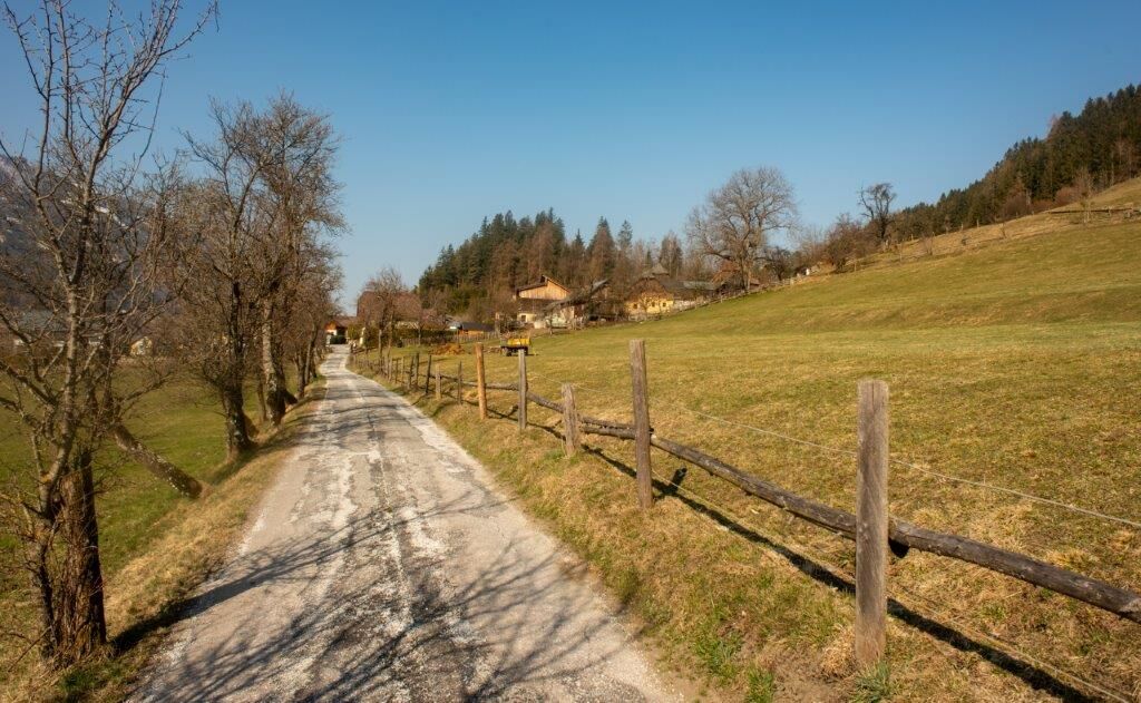
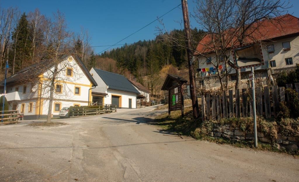
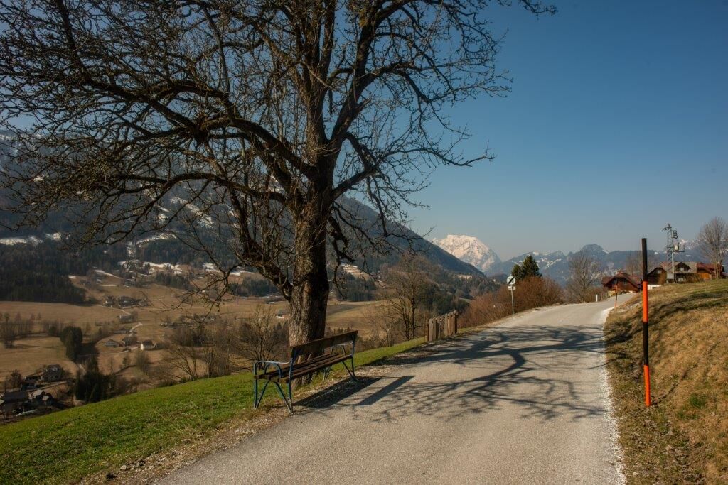
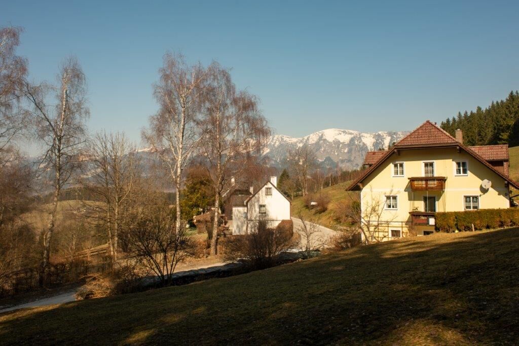
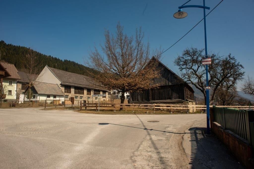
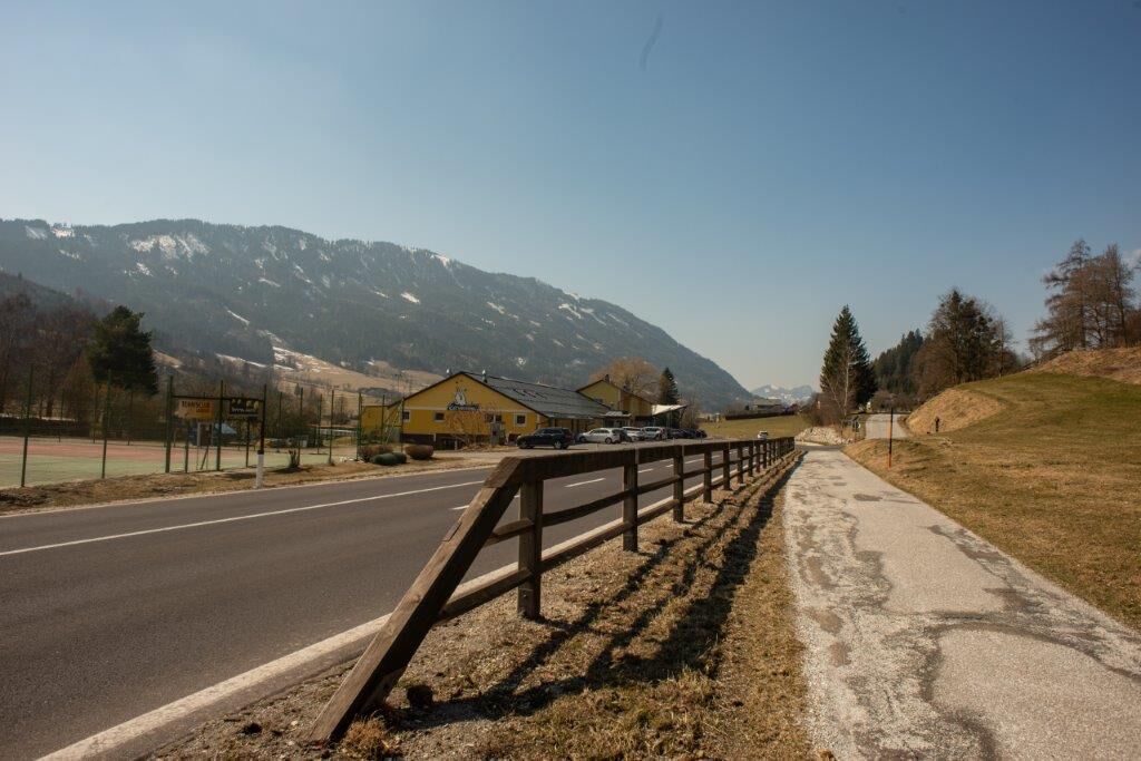
The Lassing high valley is nestled between the Styrian Enns Valley and the Palten Valley. In summer, the village invites you to go on beautiful hikes as well as mountain and bicycle tours.
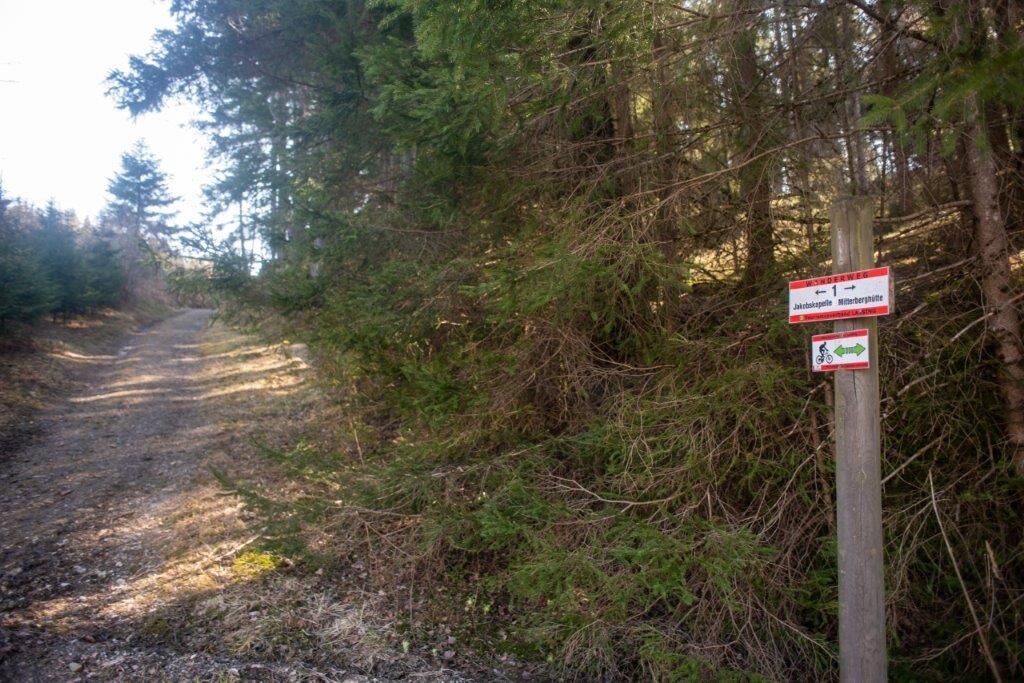
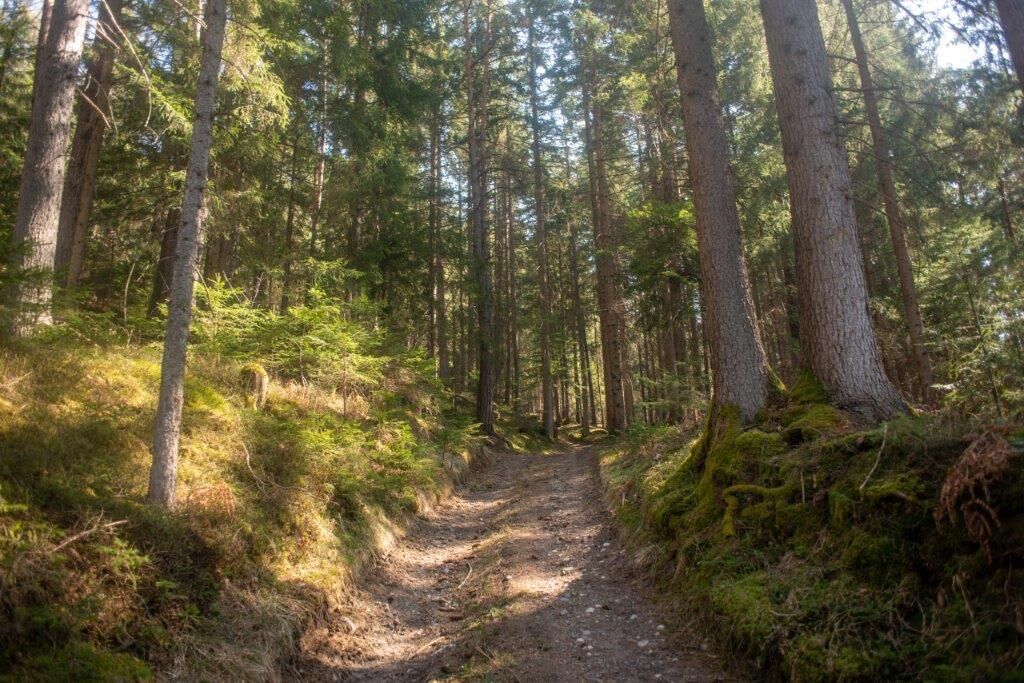
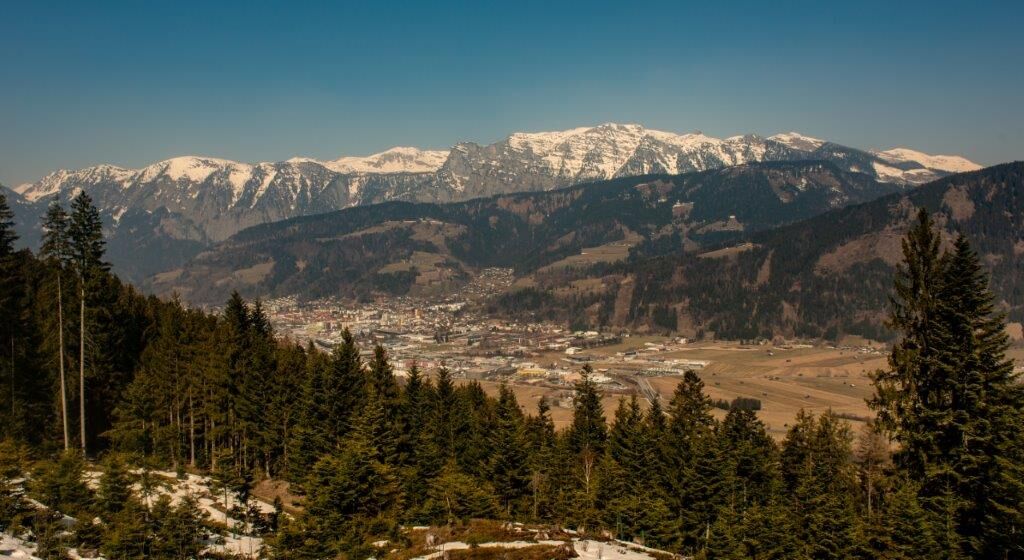
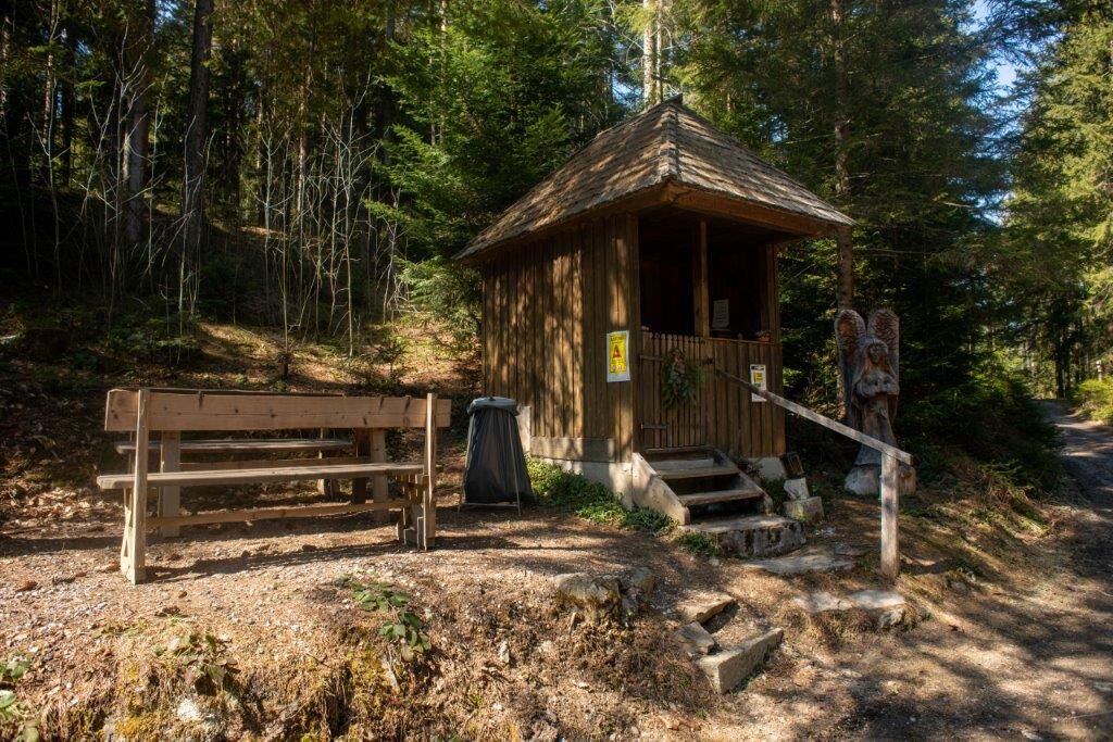
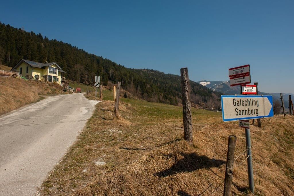
The Mitterbergrunde leads mostly on quiet forest paths around the Mitterberg. It runs mostly through woodland with wonderful views.
- Difficoltà
-
intermedio
- Valutazione
-
- Percorso
-
Seerestaurant Lassing0,1 kmNeusiedl0,7 kmJakobskapelle6,8 kmAltlassing8,7 kmSeerestaurant Lassing9,6 km
- La stagione migliore
-
genfebmaraprmaggiulugagosetottnovdic
- Punto più alto
- 988 m
- Destinazione
-
Badesee Lassing
- Profilo altimetrico
-


-

-
AutoreIl tour Mitterbergrunde - Lassing è utilizzato da outdooractive.com fornito.
GPS Downloads


Info generali
Punto di ristoro
Altri tour nelle regioni
-
Gesäuse
2222
-
Grimming - Donnersbachtal
976
-
Lassing
220


