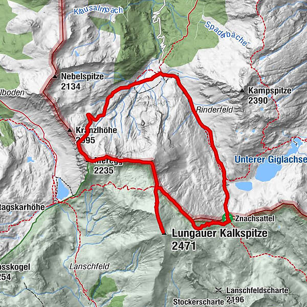
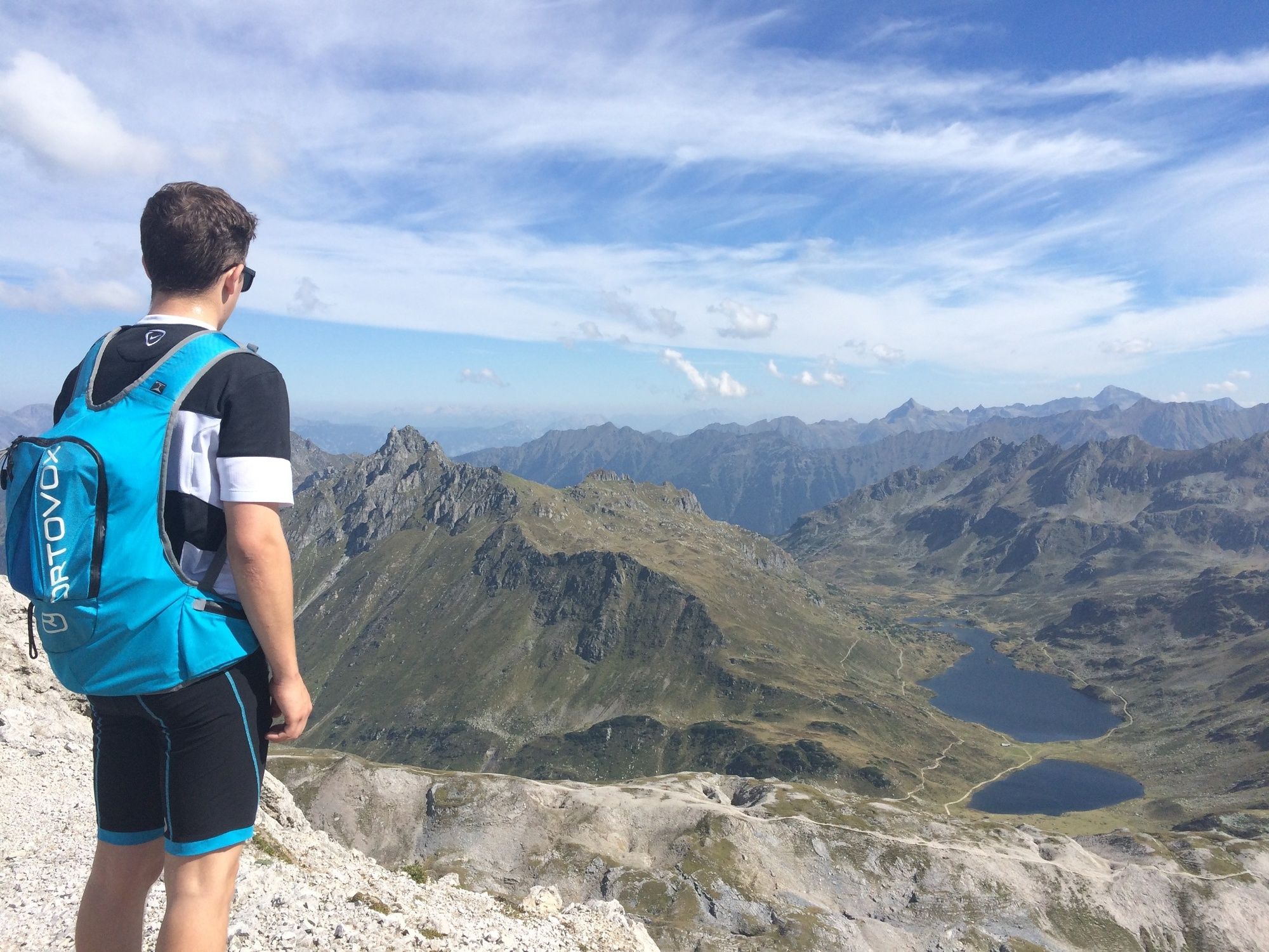
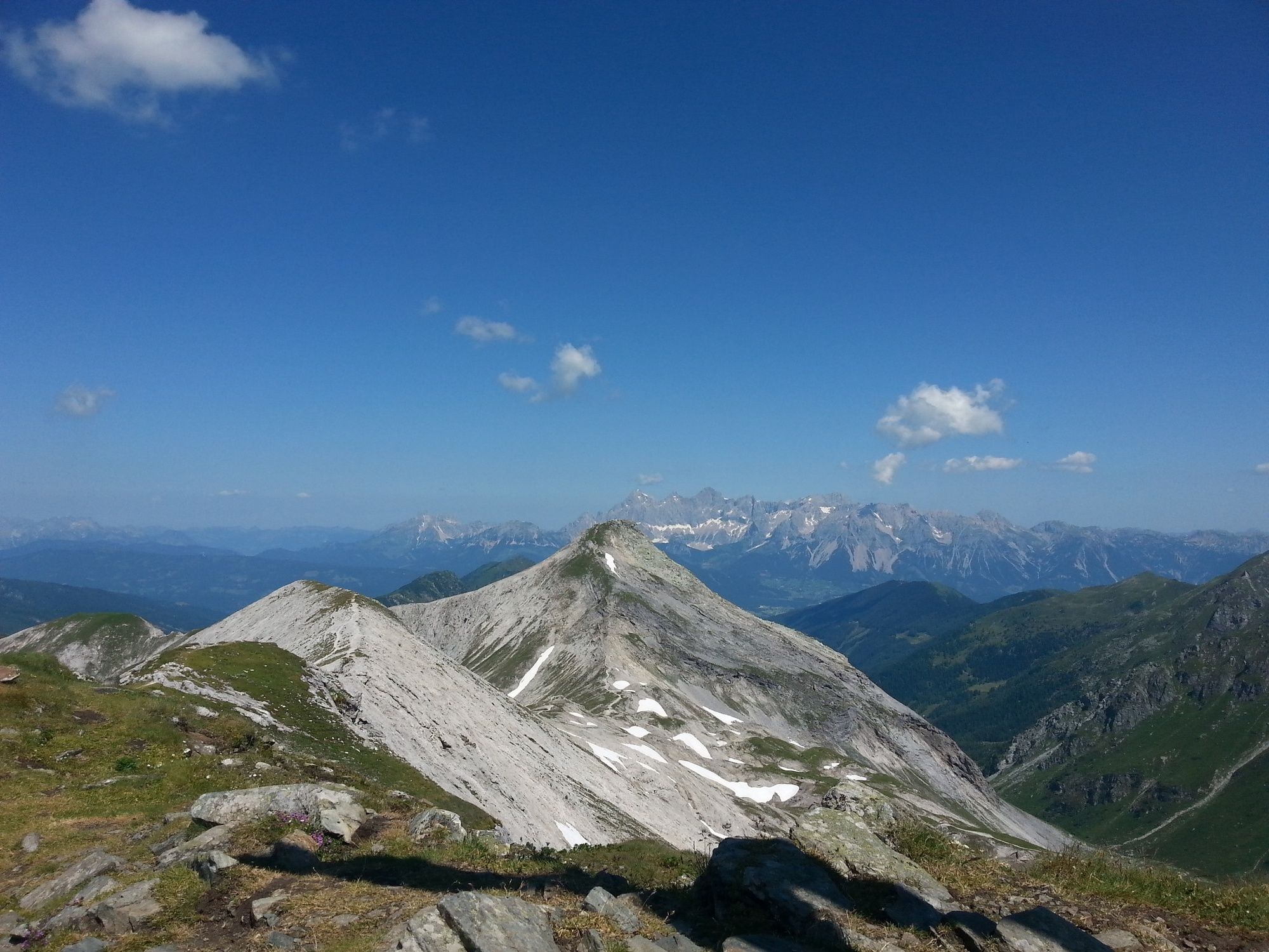
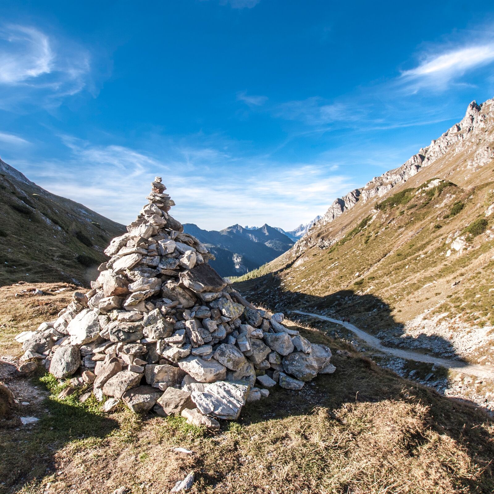
Steirische and Lungauer Kalkspitze summits via Kranzl

Escursionismo

© Gerhard Pilz

© Tourismusverband Schladming - Herbert Raffalt - Herbert Raffalt
© Erlebnisregion Schladming-Dachstein - Tourismusverband Schladming
© Tourismusverband Schladming - Katrin Hutegger - Katrin Hutegger

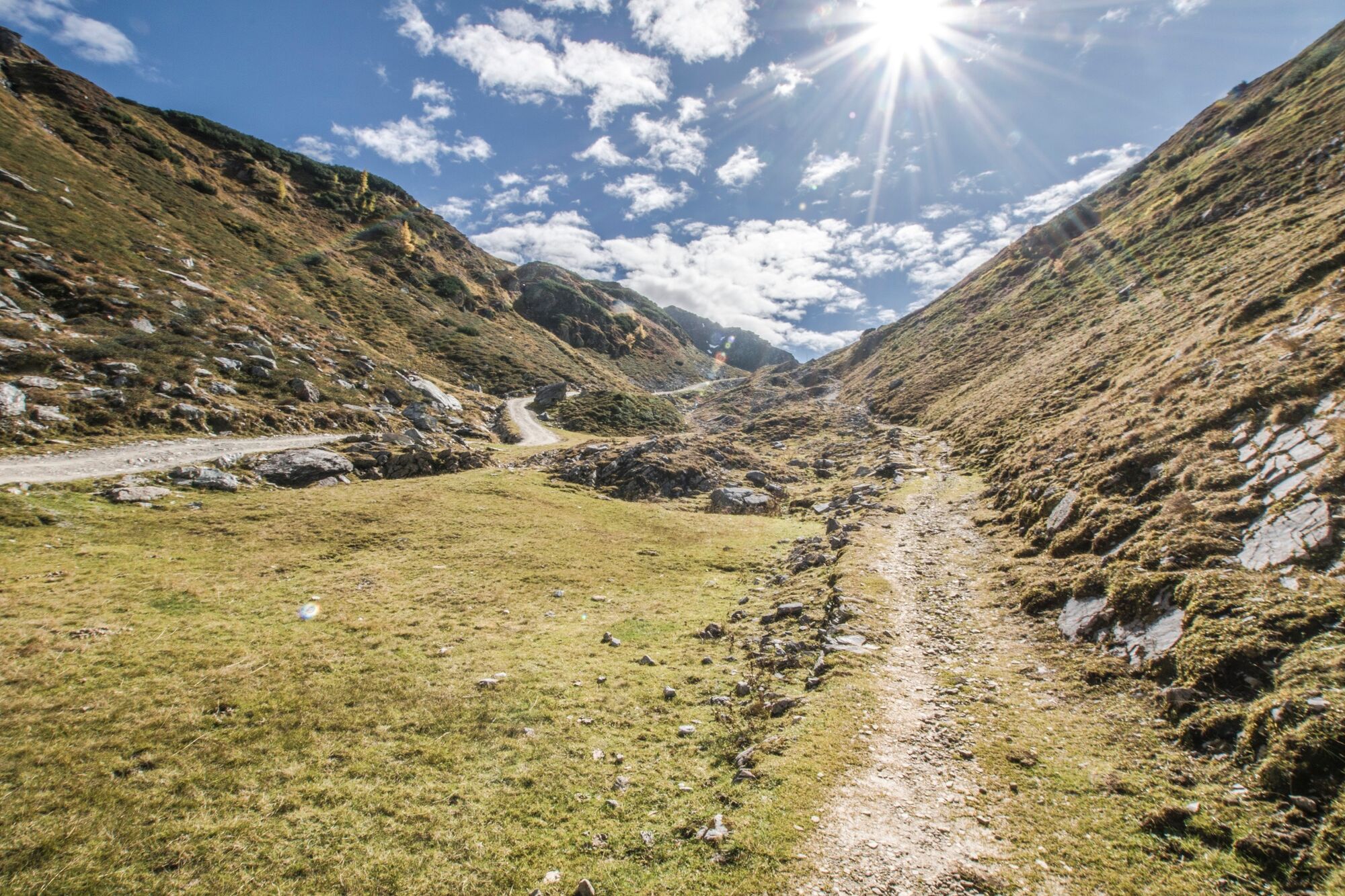
© Gerhard Pilz

© Gerhard Pilz

© Gerhard Pilz

© Gerhard Pilz
© Tourismusverband Schladming - Katrin Hutegger - Katrin Hutegger

© Gerhard Pilz
- Descrizione rapida
-
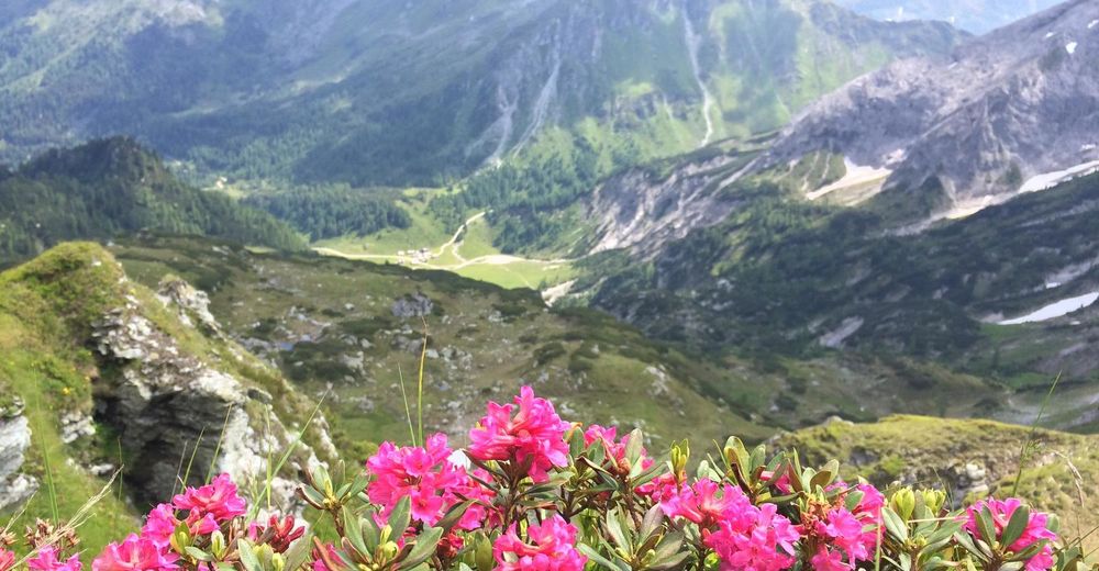
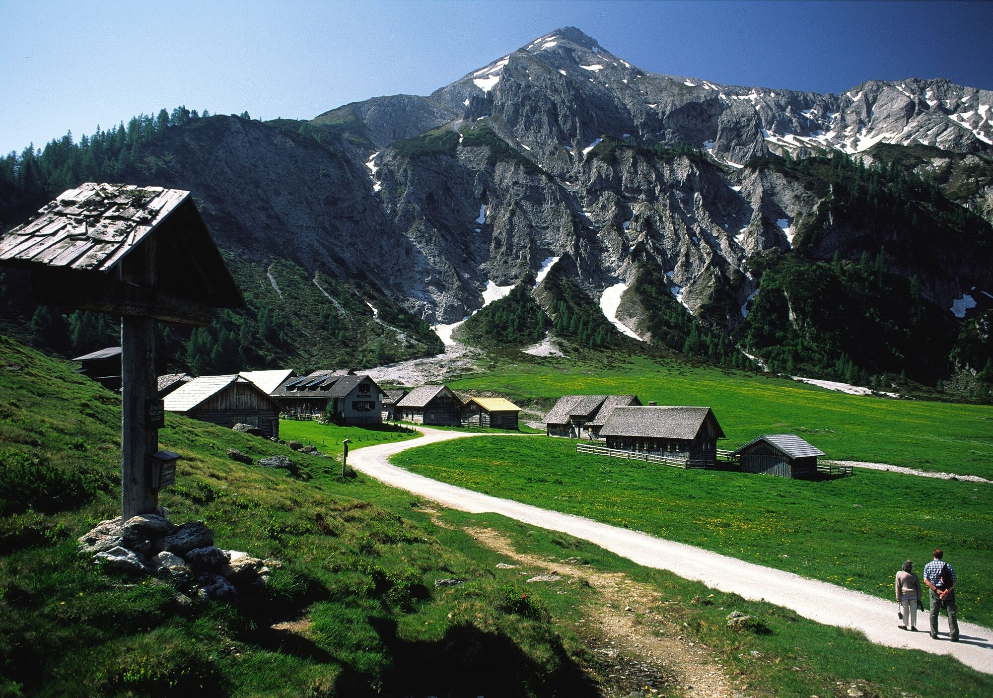
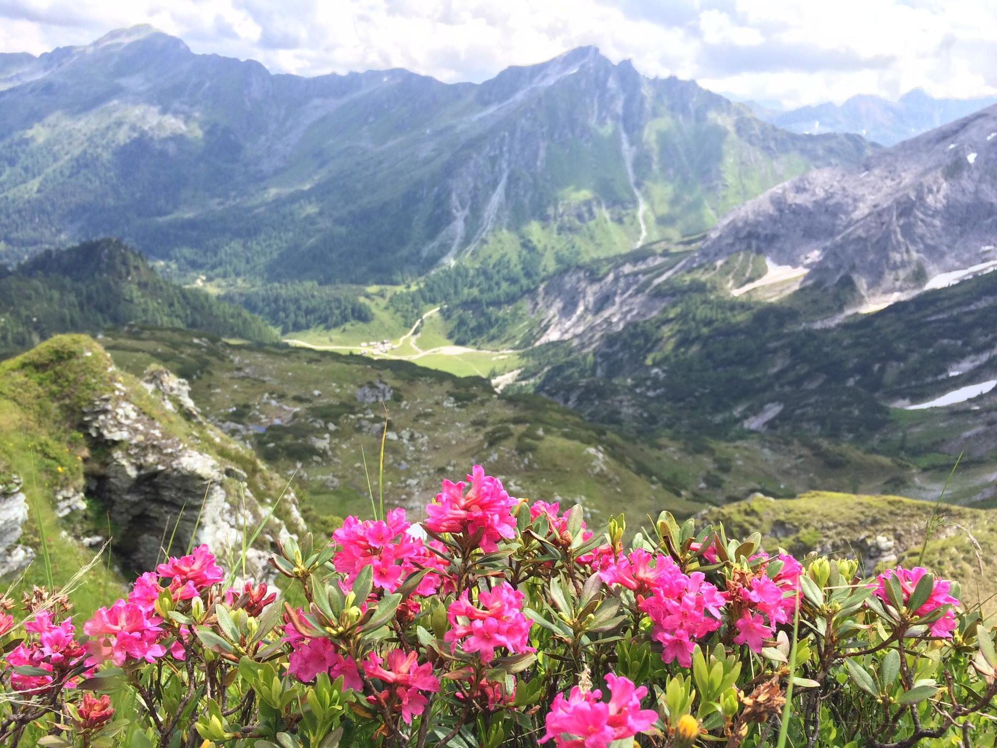
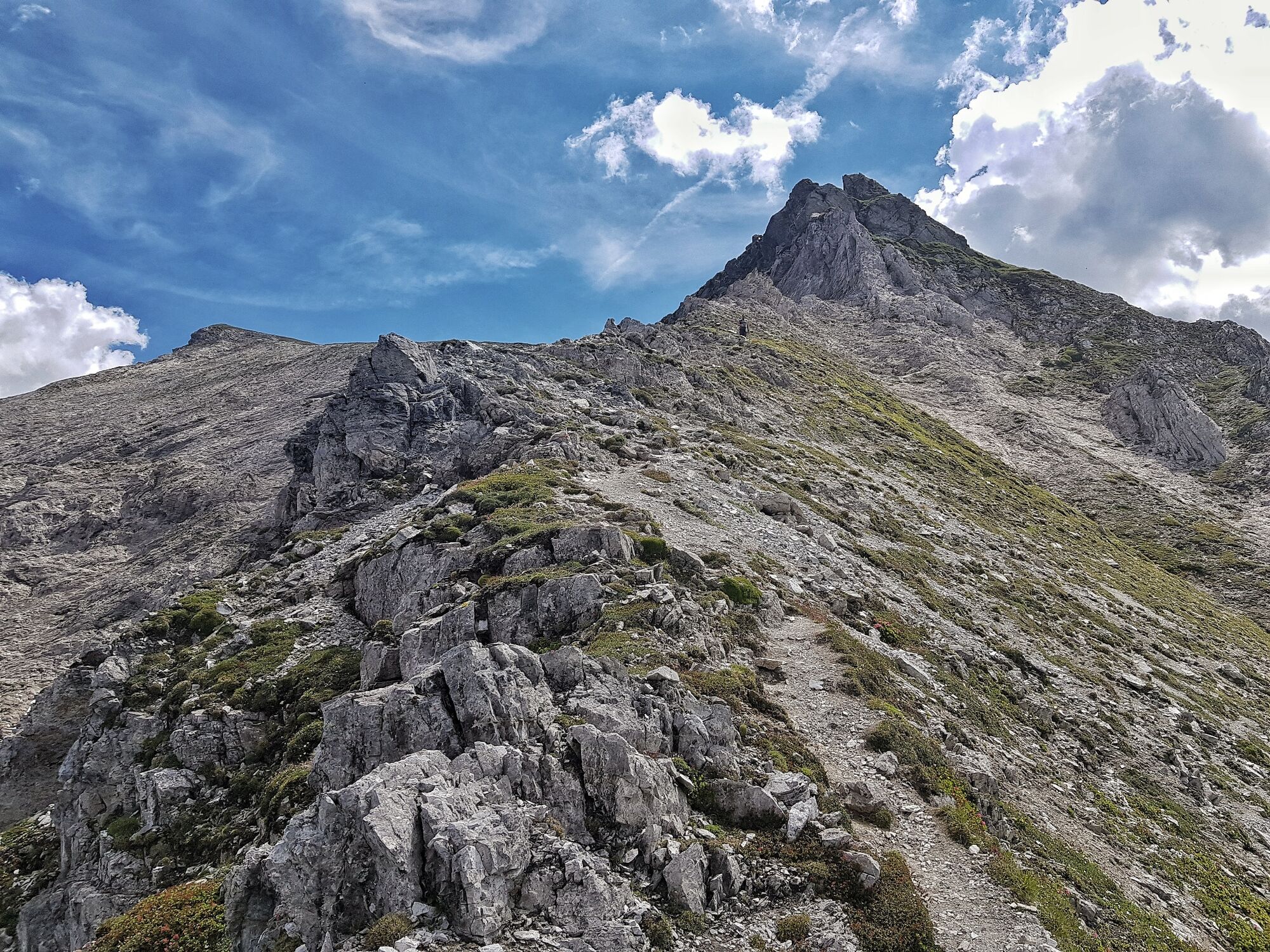
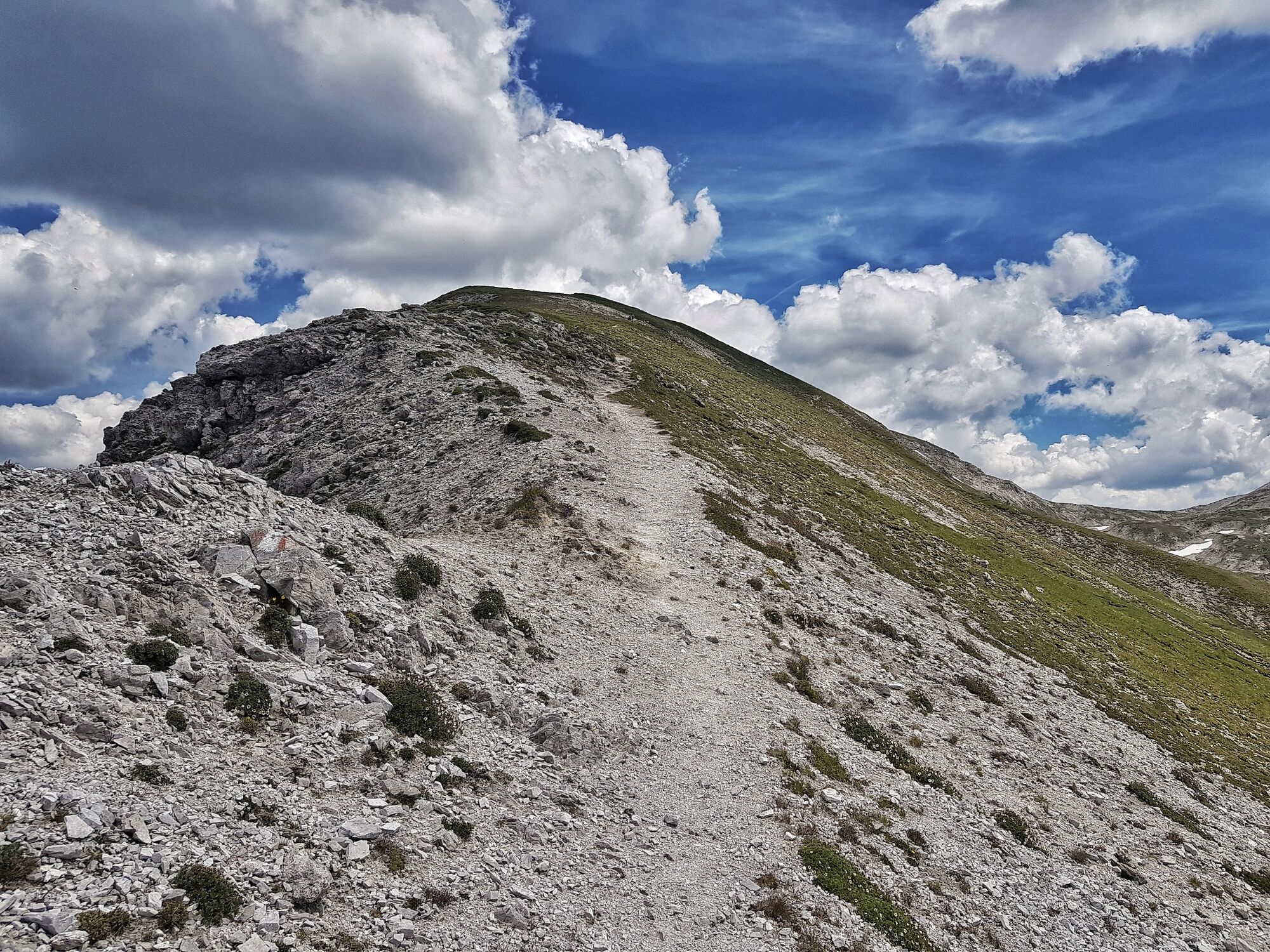
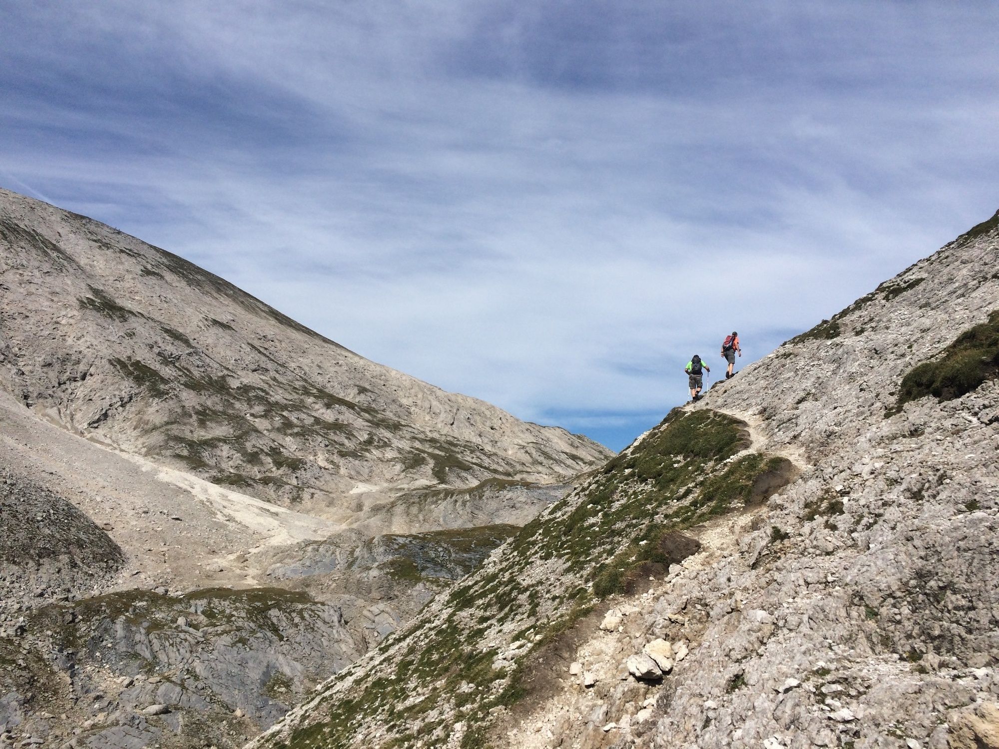
Steirische und Lungauer Kalkspitze sind ein Kalkstock inmitten des Urgesteins der Schladminger Tauern.
- Difficoltà
-
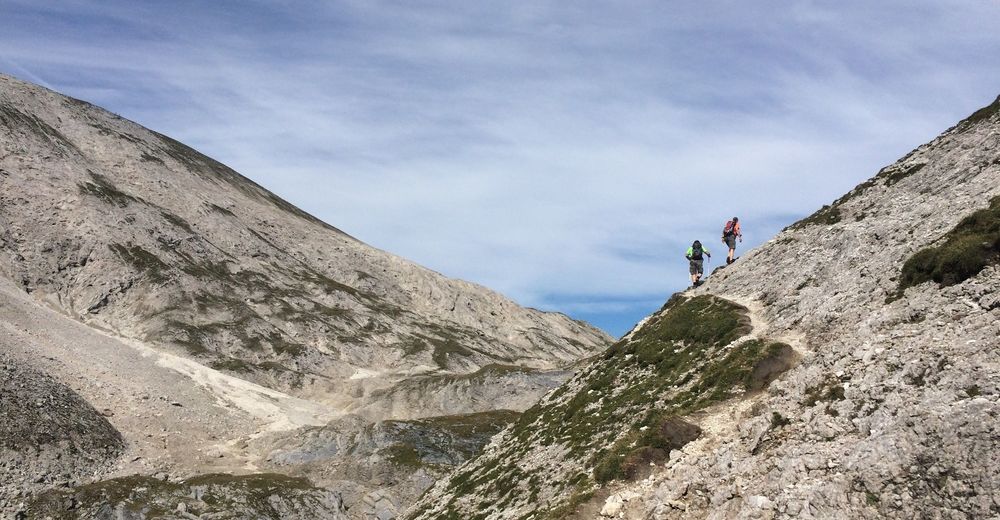
difficile
- Valutazione
-
- Percorso
-
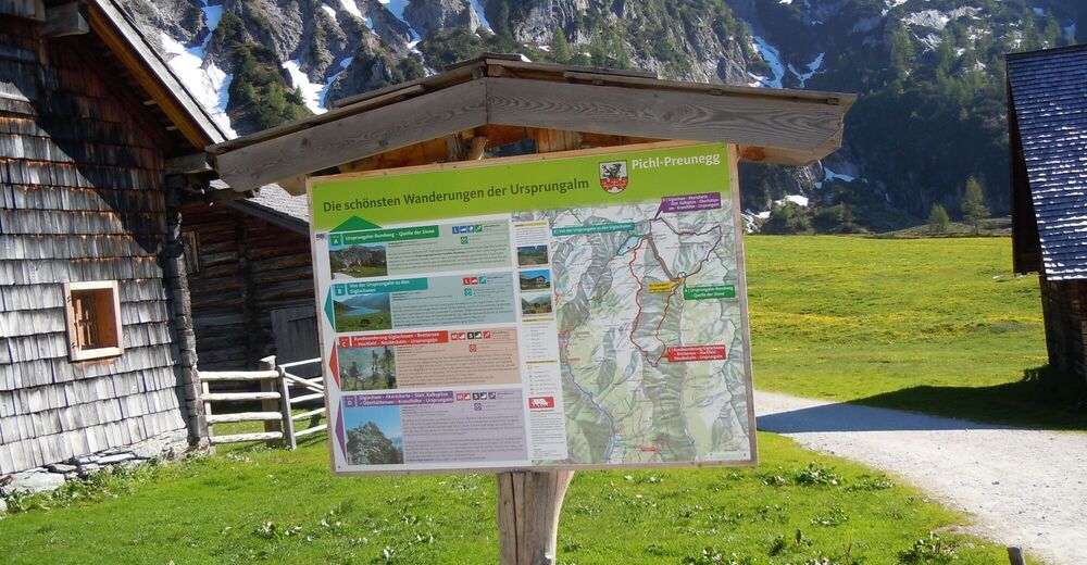
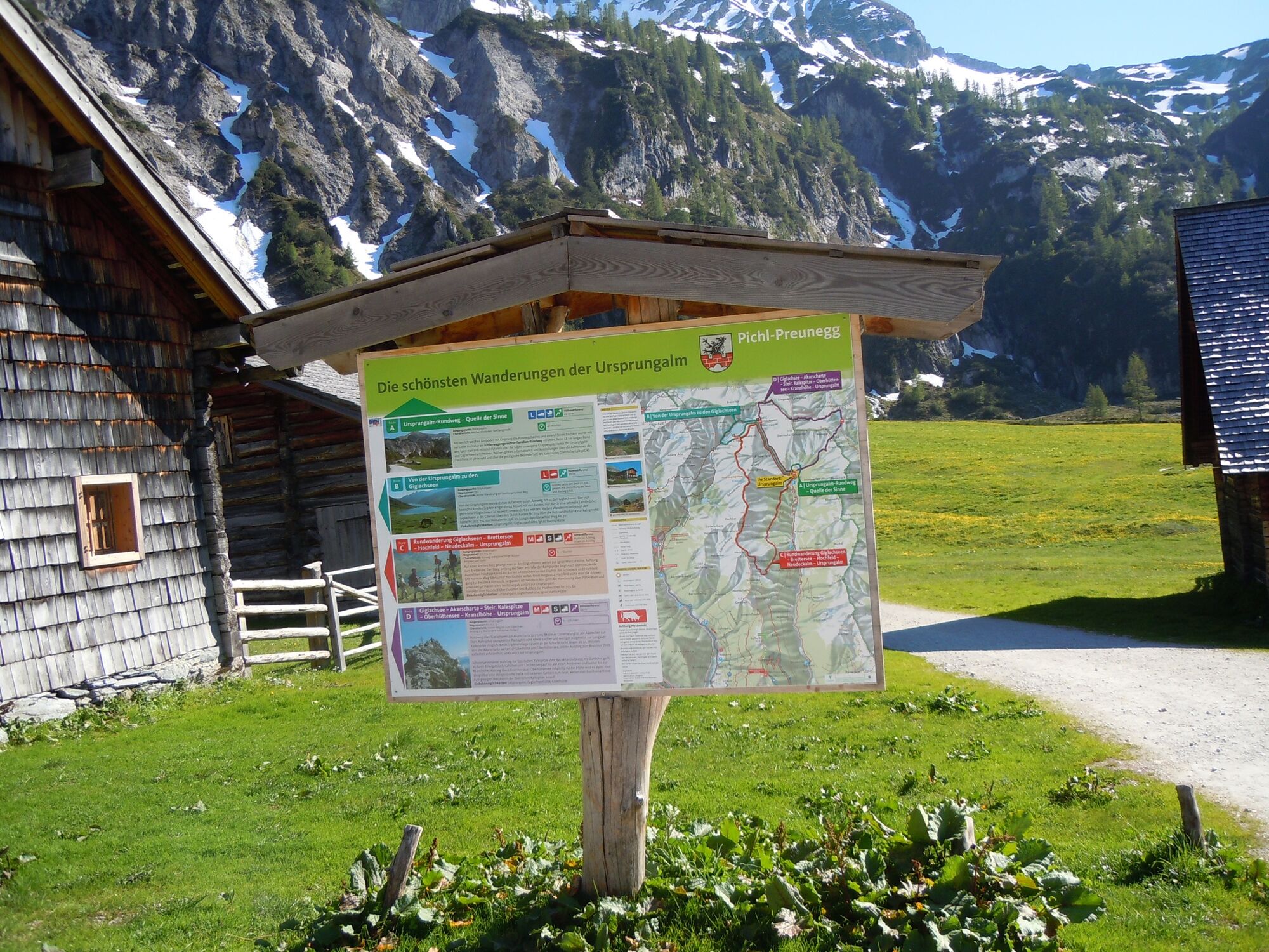
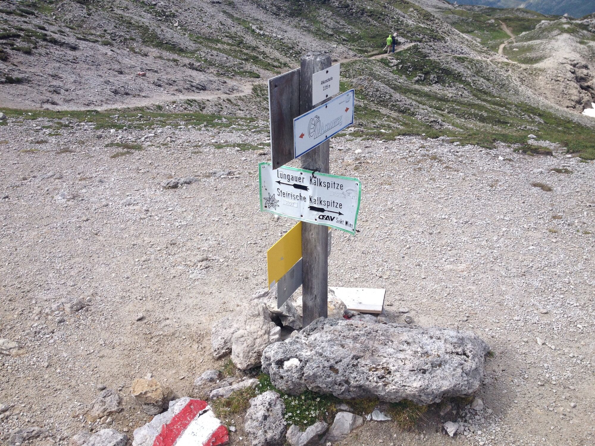
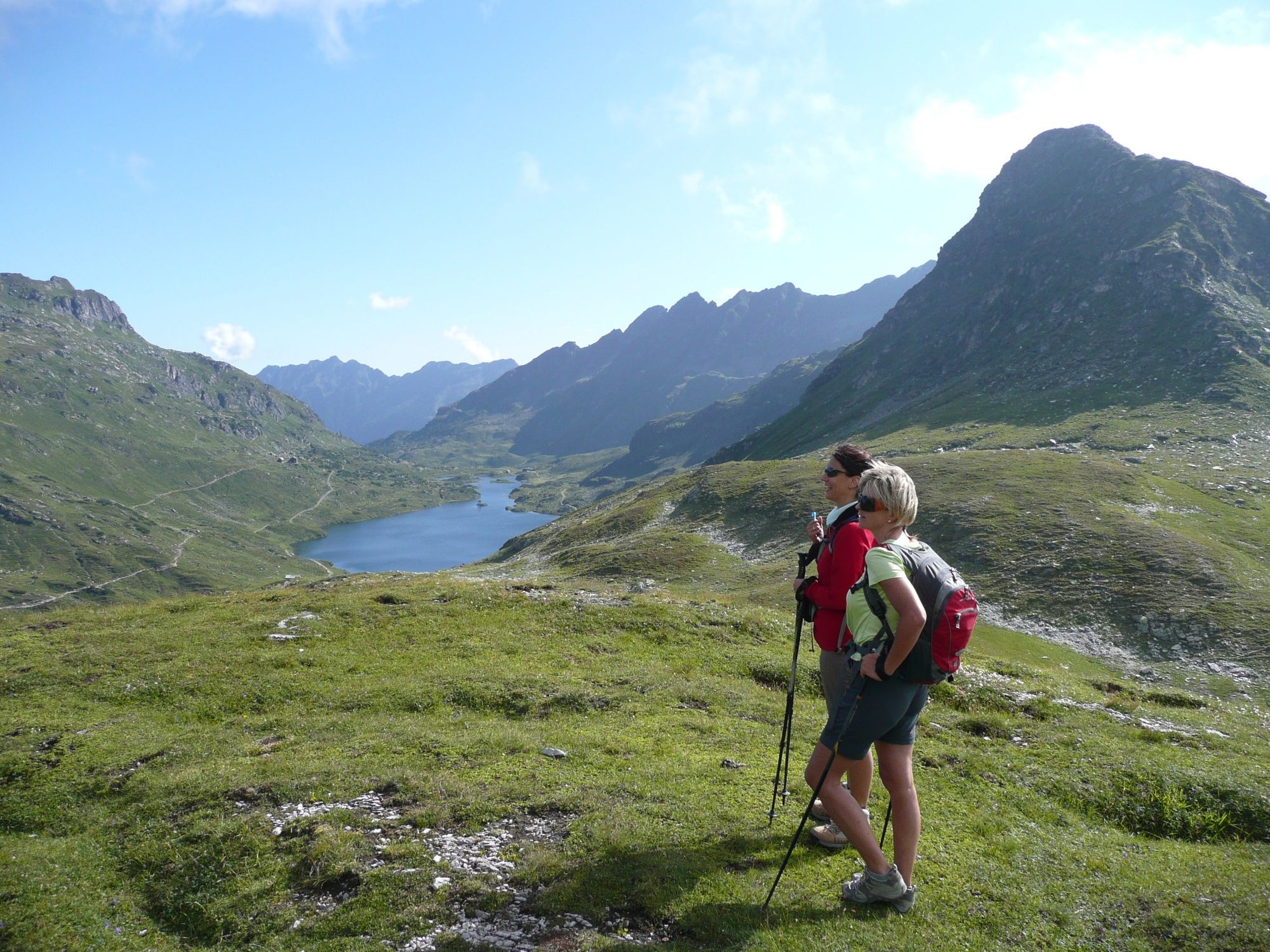
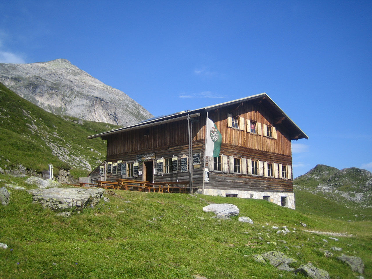
UrsprungalmMeregg (2.235 m)2,7 kmGiglachsee Hütte (1.955 m)8,5 kmUrsprungalm10,9 km
- La stagione migliore
-
genfebmaraprmaggiulugagosetottnovdic
- Punto più alto
- 2.433 m
- Destinazione
-
Hiking trail head Ursprungalm
- Profilo altimetrico
-


-

-
AutoreIl tour Steirische and Lungauer Kalkspitze summits via Kranzl è utilizzato da outdooractive.com fornito.
GPS Downloads


Info generali
Punto di ristoro
Promettente
Altri tour nelle regioni
-
Schladming - Dachstein
3001
-
Obertauern
1648
-
Tweng
308


