
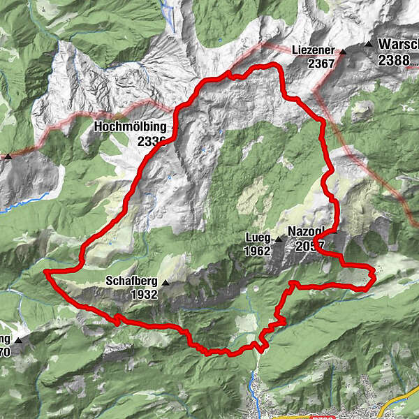
Dati percorsi
30,96km
694
- 2.336m
2.017hm
2.010hm
14:00h
- Descrizione rapida
-
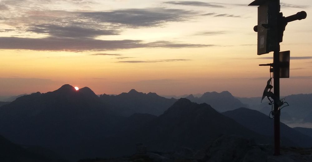
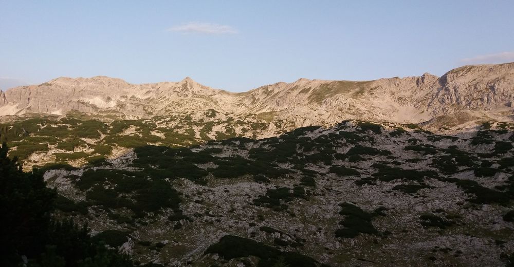
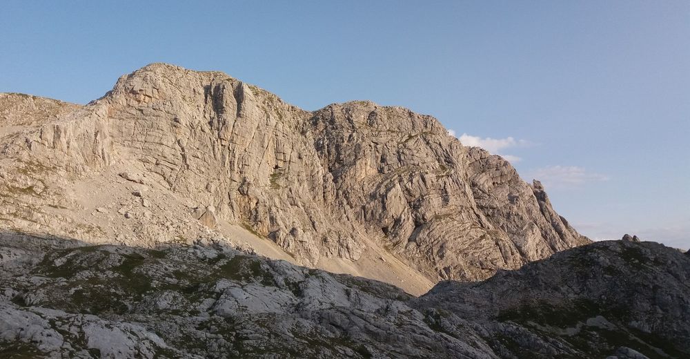
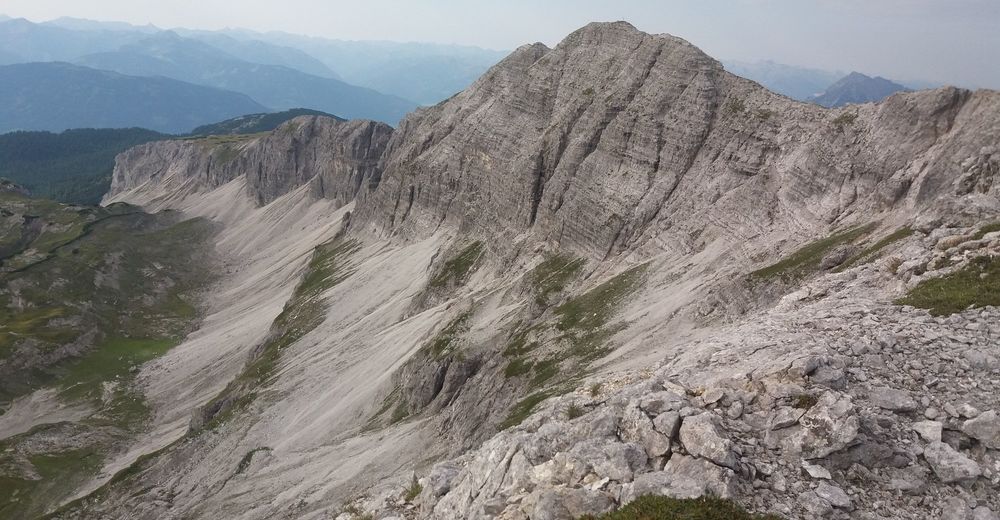
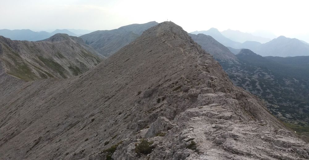
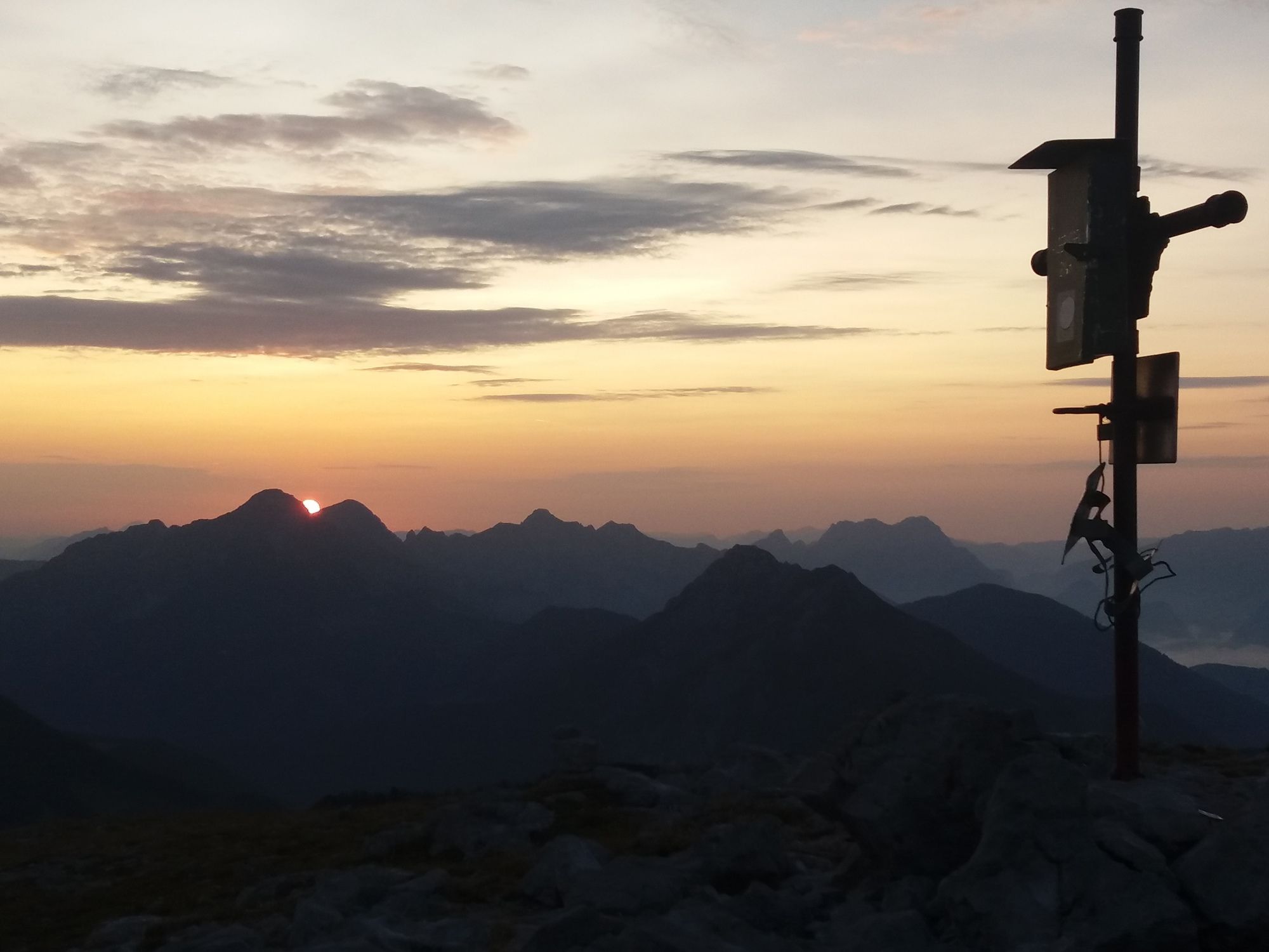
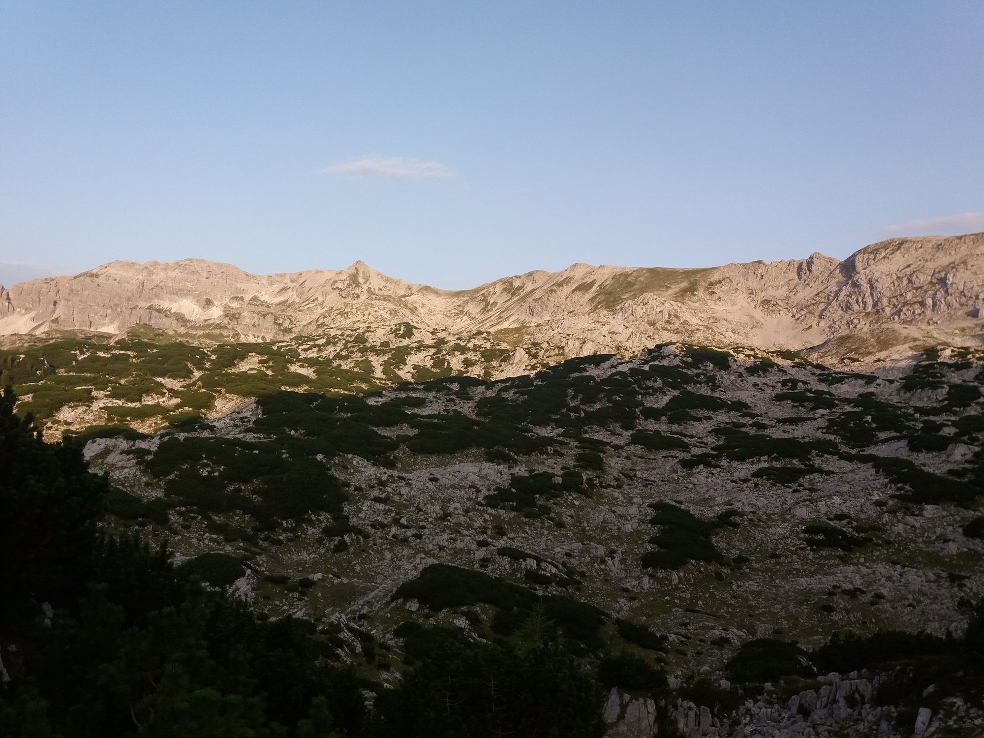
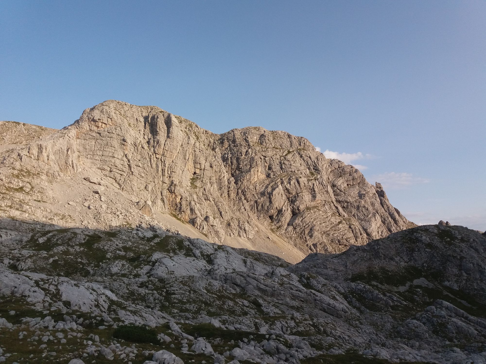
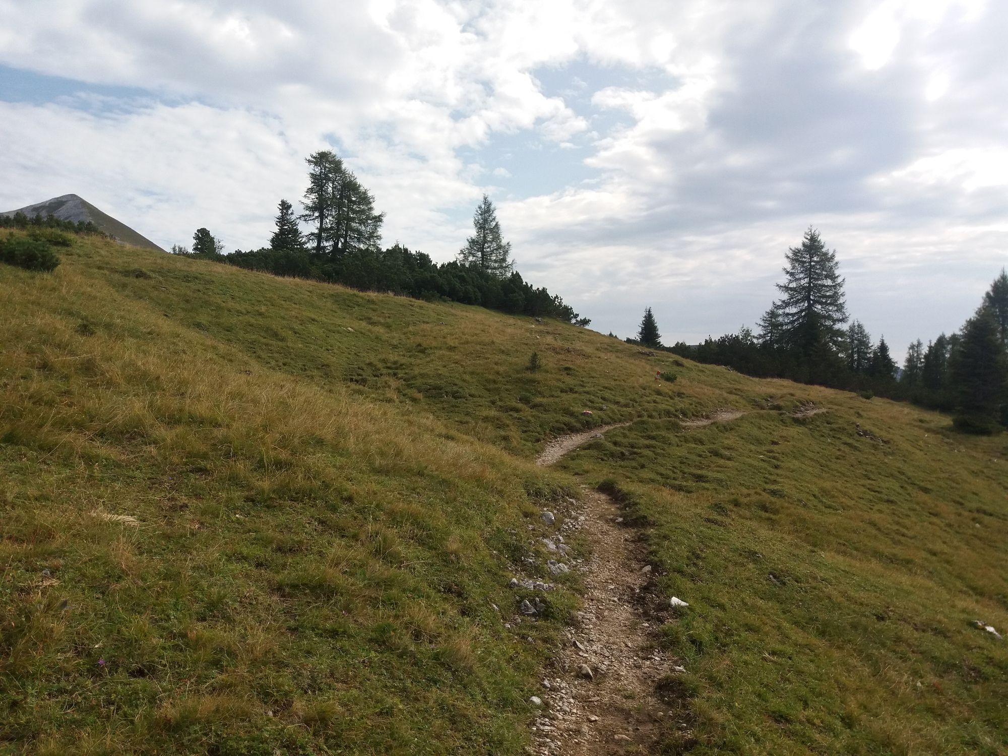
Eine schöne Tagestour im Phyrn - Priel Gebiet. Wunderschöne Kalk und Lärchenlandschaften. Eine technisch einfache Tour die eine sehr gute Kondition erfordert.
- Difficoltà
-
intermedio
- Valutazione
-
- Punto di partenza
-
Parkplatz Hintereggeralm, kann auch Weißenbach aus erfolgen
- Percorso
-
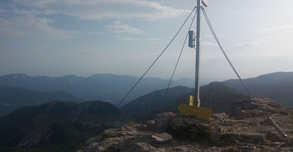
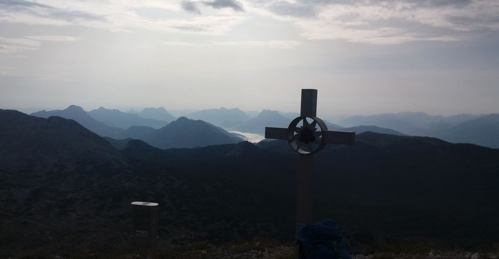
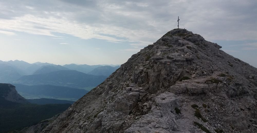
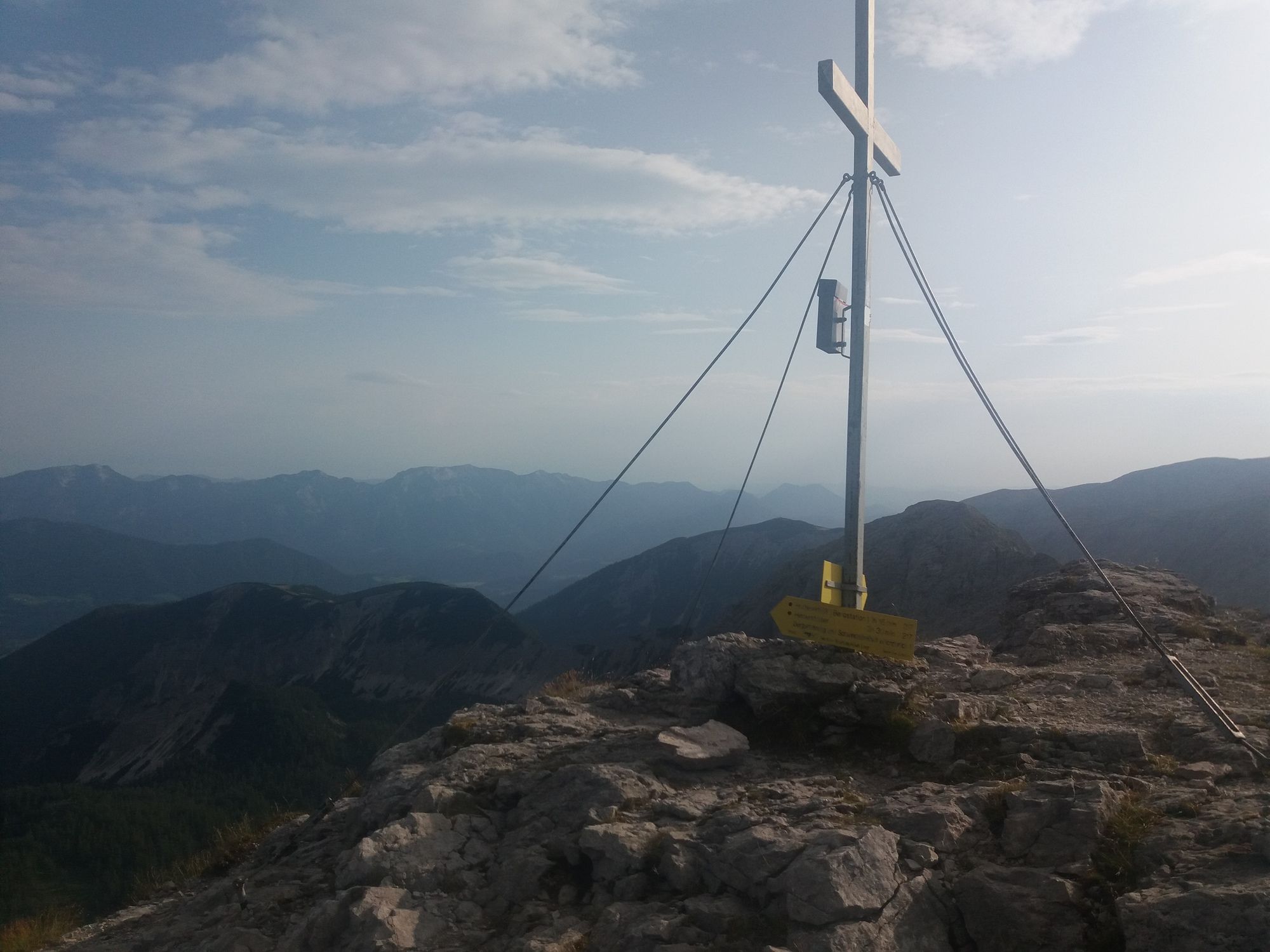
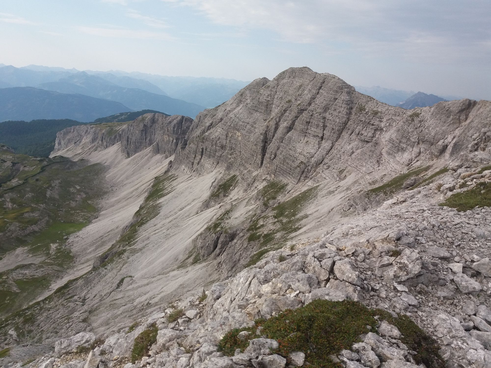
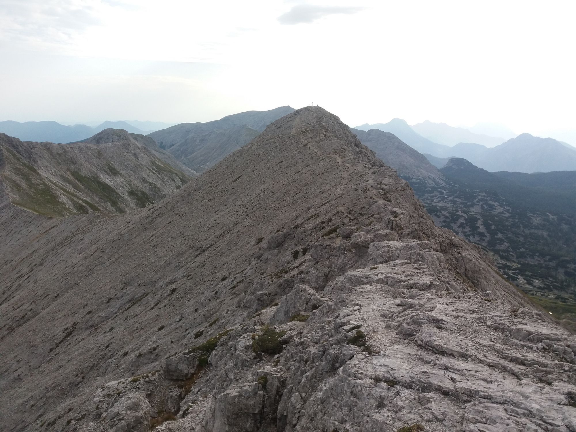
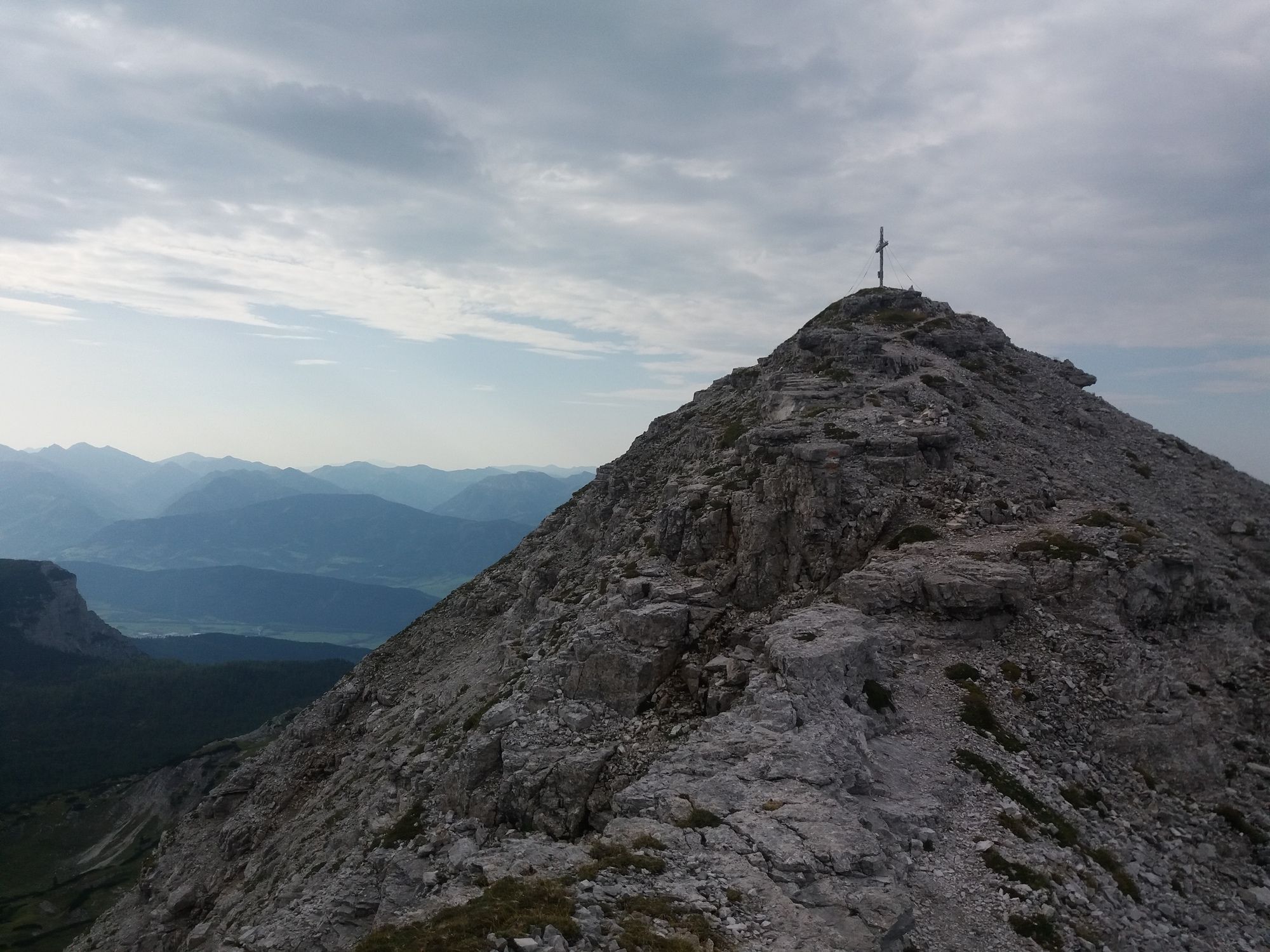
Blick ins Ennstal0,4 kmHinteregger Alm0,5 kmNazogl (2.057 m)3,2 kmAngerkogel (2.114 m)4,2 kmElmscharte (2.203 m)10,2 kmSchrocken (2.281 m)11,0 kmKaminspitz (2.322 m)11,6 kmKreuzspitze (2.327 m)12,0 kmHochmölbing (2.336 m)12,2 kmMittermölbing (2.318 m)12,7 kmKleinmölbing (2.160 m)14,1 kmHochmölbinghütte17,1 kmLangpoltner-Klamml (1.570 m)19,4 kmMoserkapelle25,8 km
- La stagione migliore
-
genfebmaraprmaggiulugagosetottnovdic
- Punto più alto
- 2.336 m
- Destinazione
-
Parkplatz Hintereggeralm, Weißenbach
- Riposo/Ritiro
-
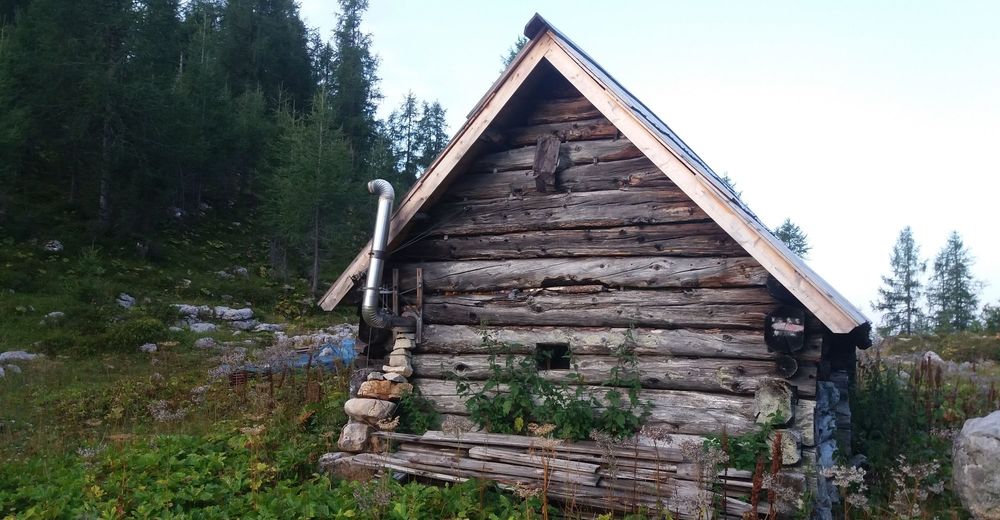
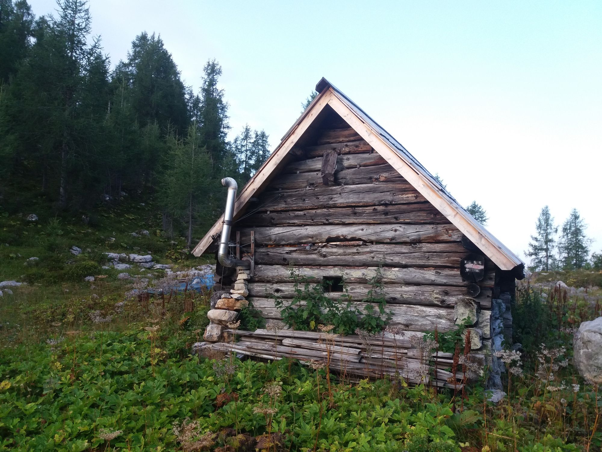
Kinkhütte, Schlagerbauerhütte, Hochmölbinghütte

- Fonte
- Georg Fokter
GPS Downloads


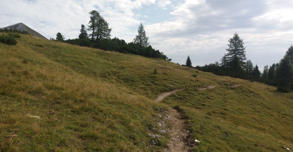
Condizioni dei sentieri
Asfalto
Ghiaia
Prato
Foresta
Roccia
Esposta
Altri tour nelle regioni
-
Gesäuse
2222
-
Urlaubsregion Pyhrn - Priel
1440
-
Liezen
317


