Dati percorsi
13,81km
812
- 2.342m
1.521hm
1.530hm
04:06h
- Descrizione rapida
-
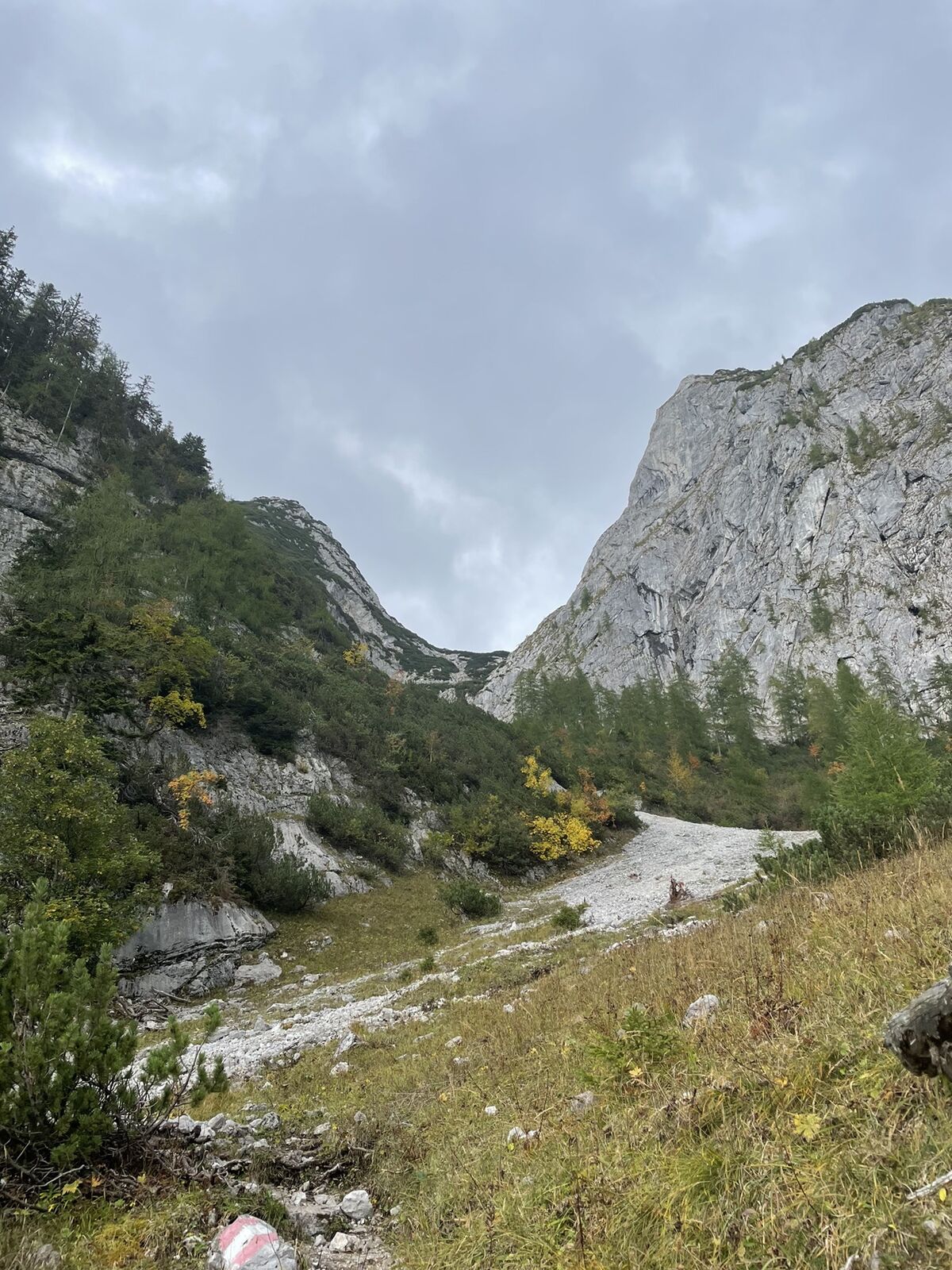
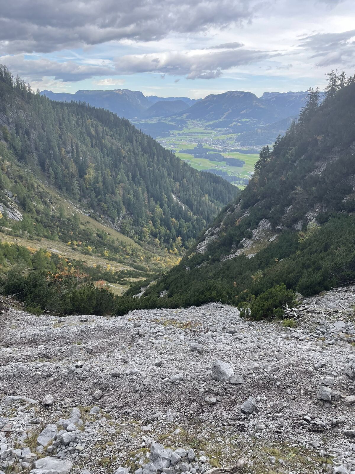
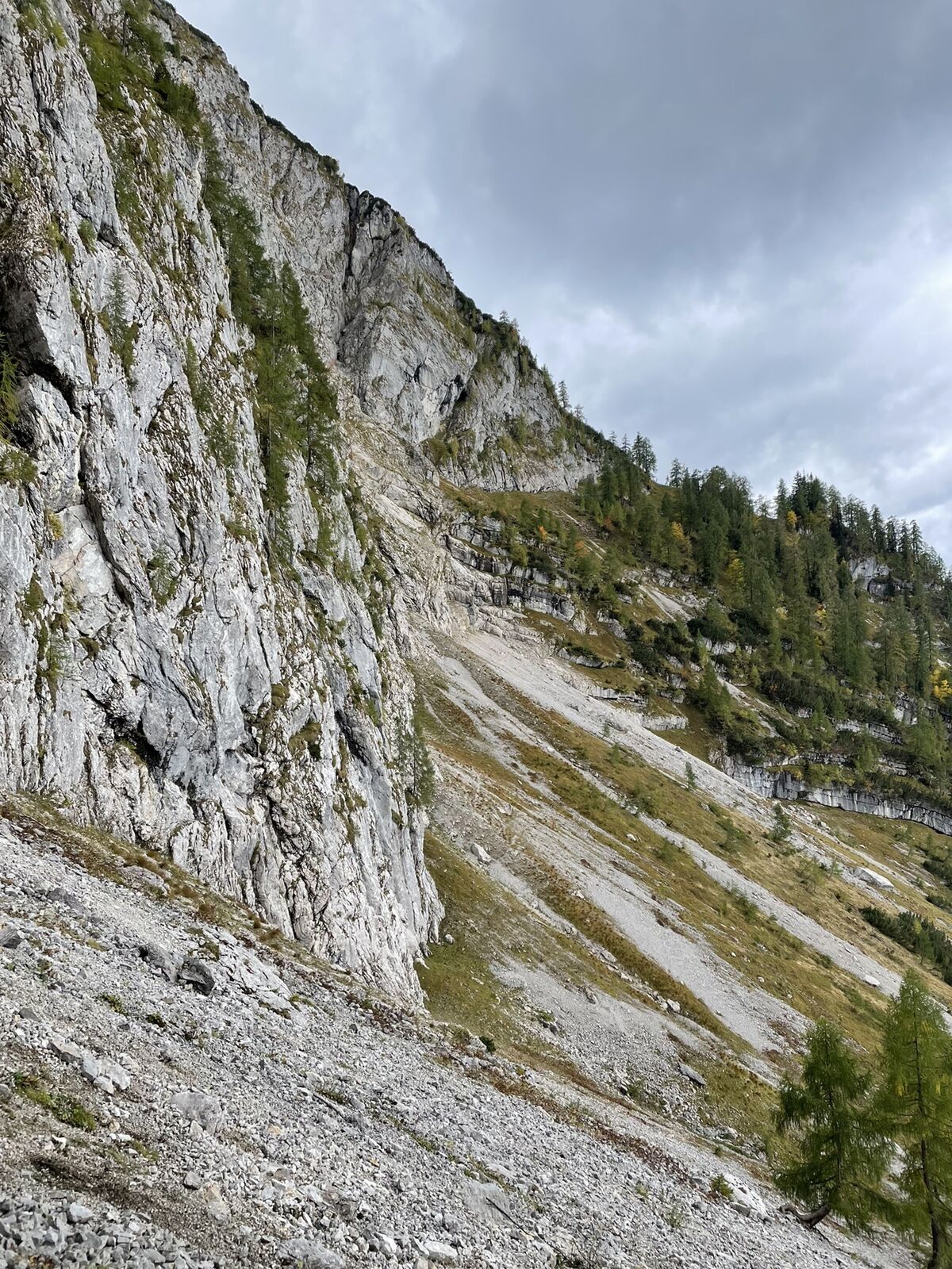
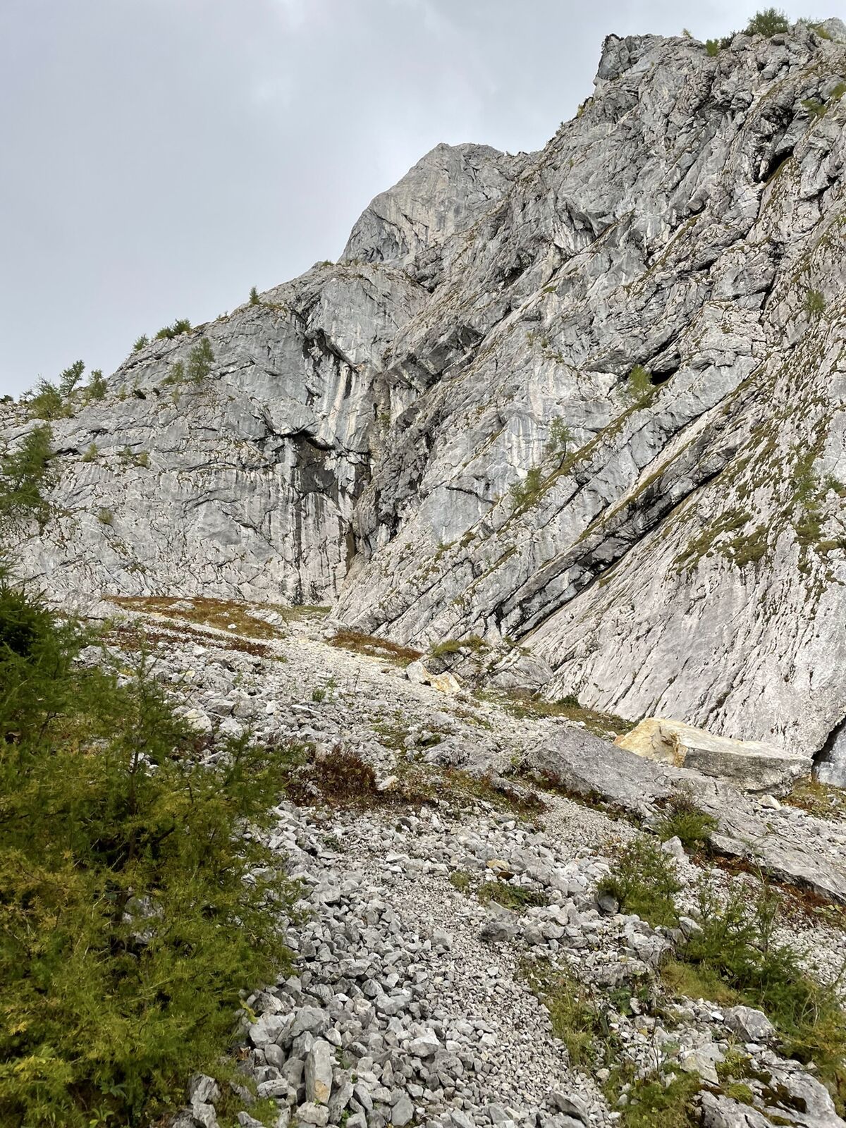
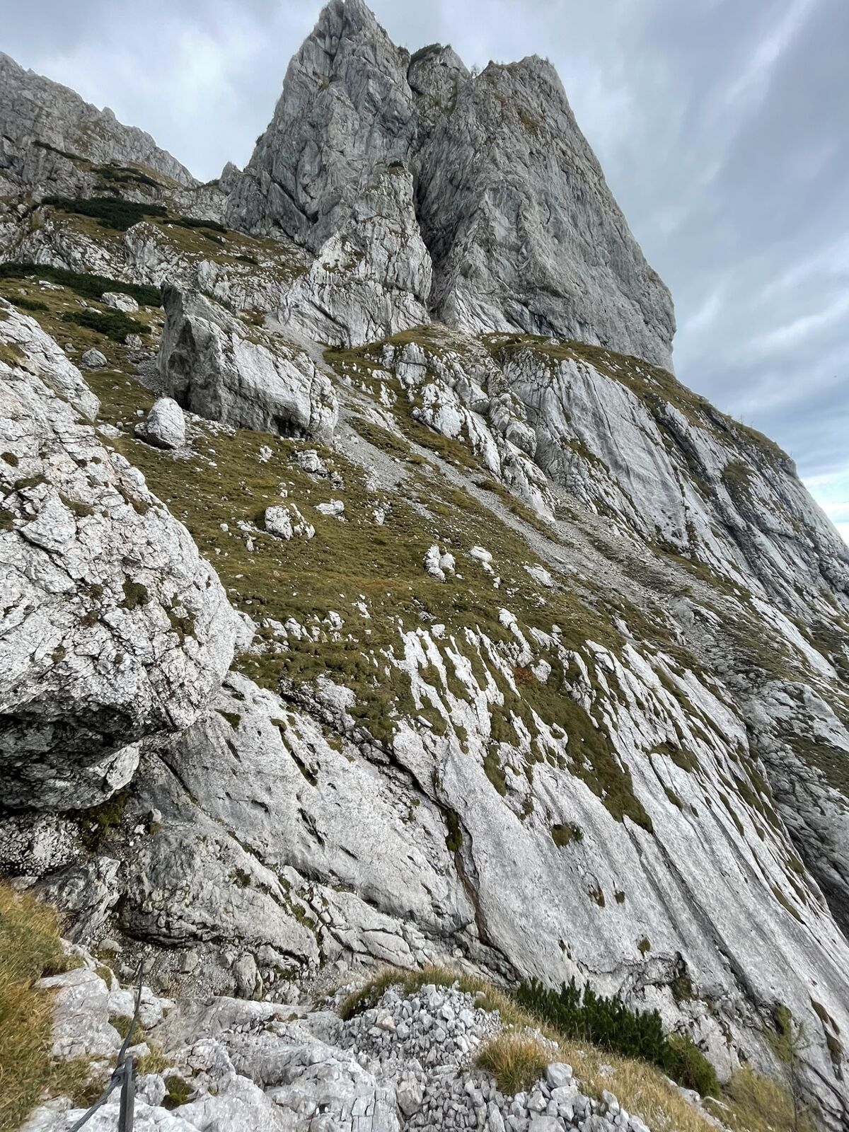
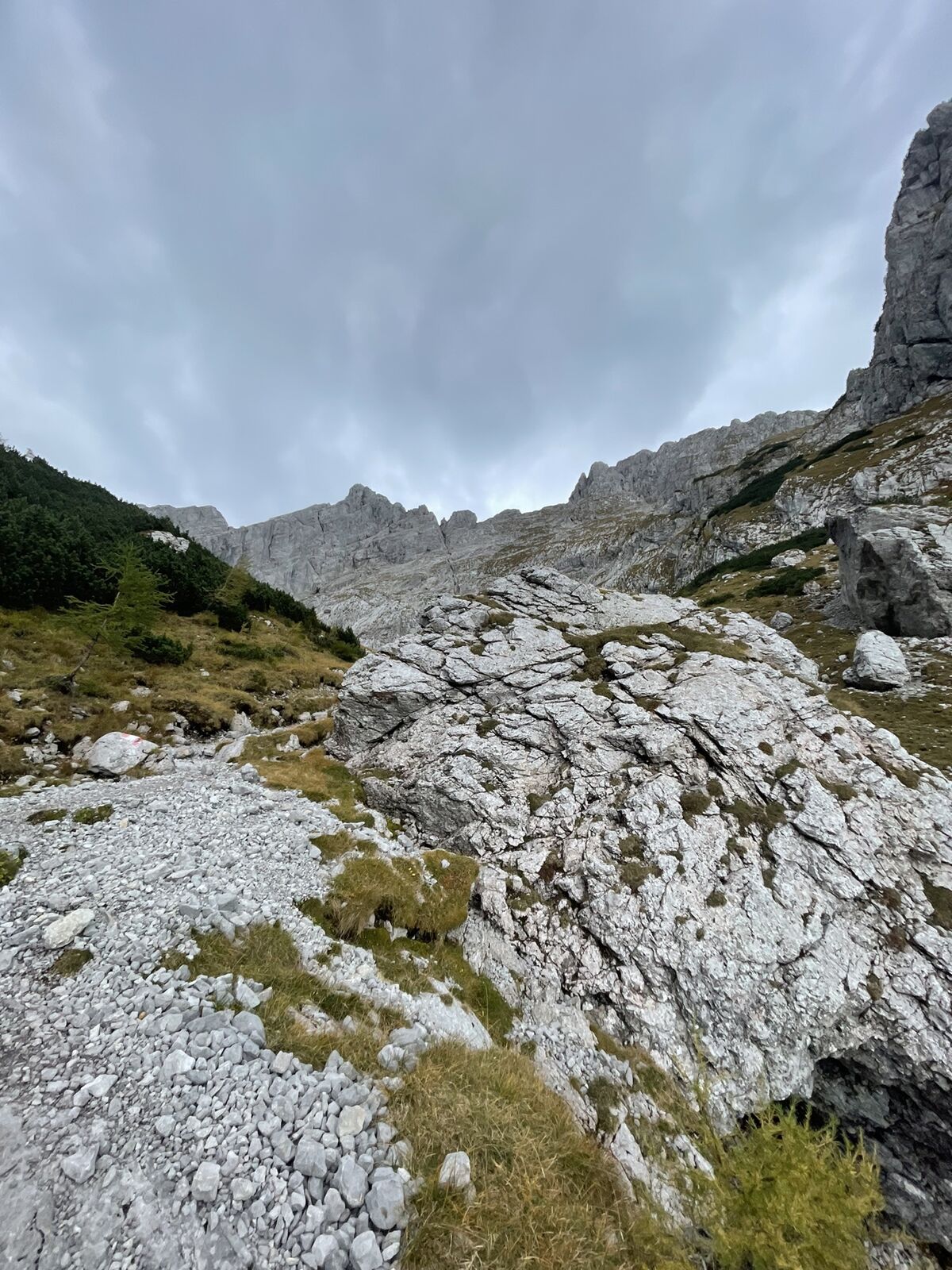
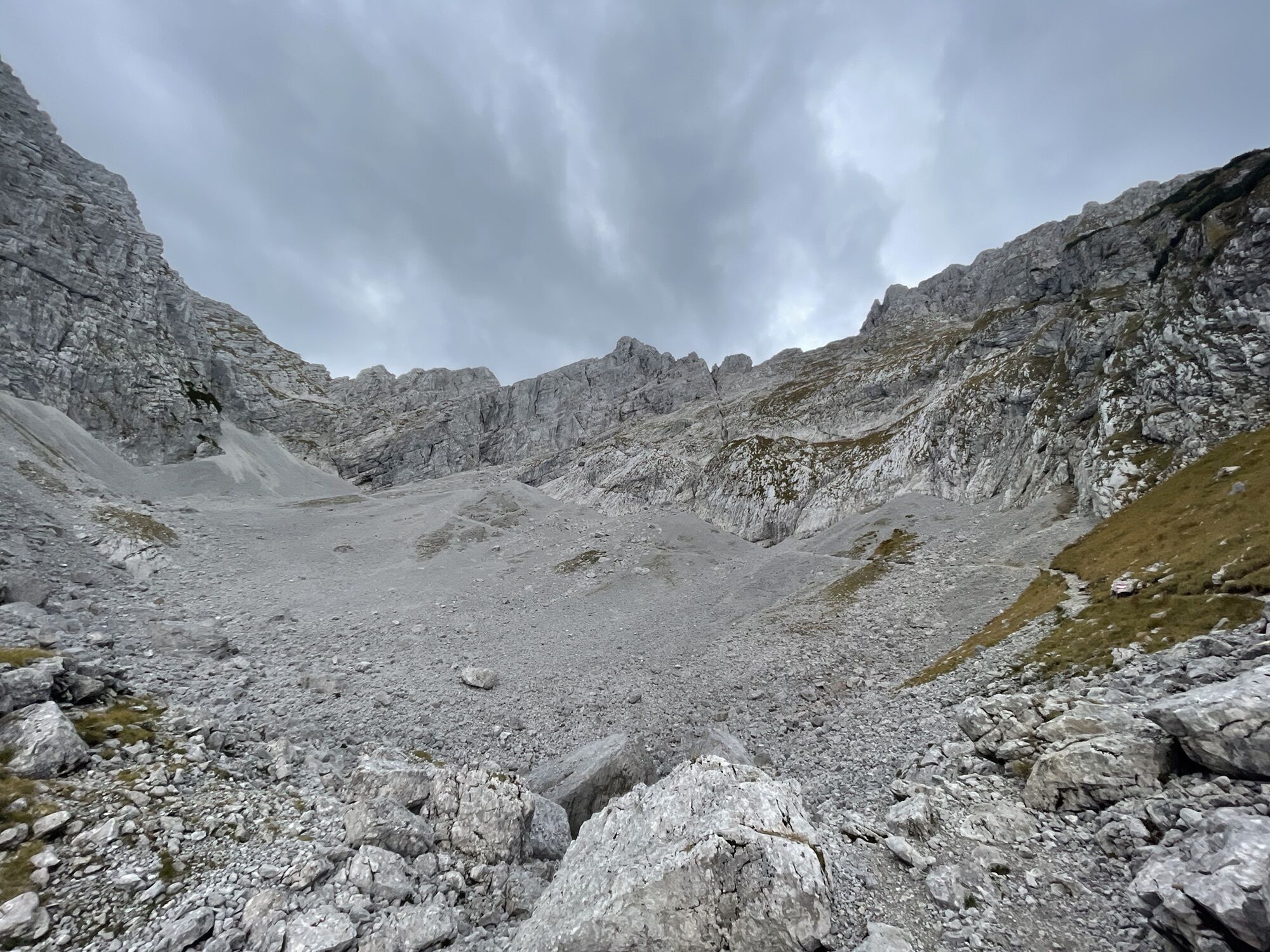
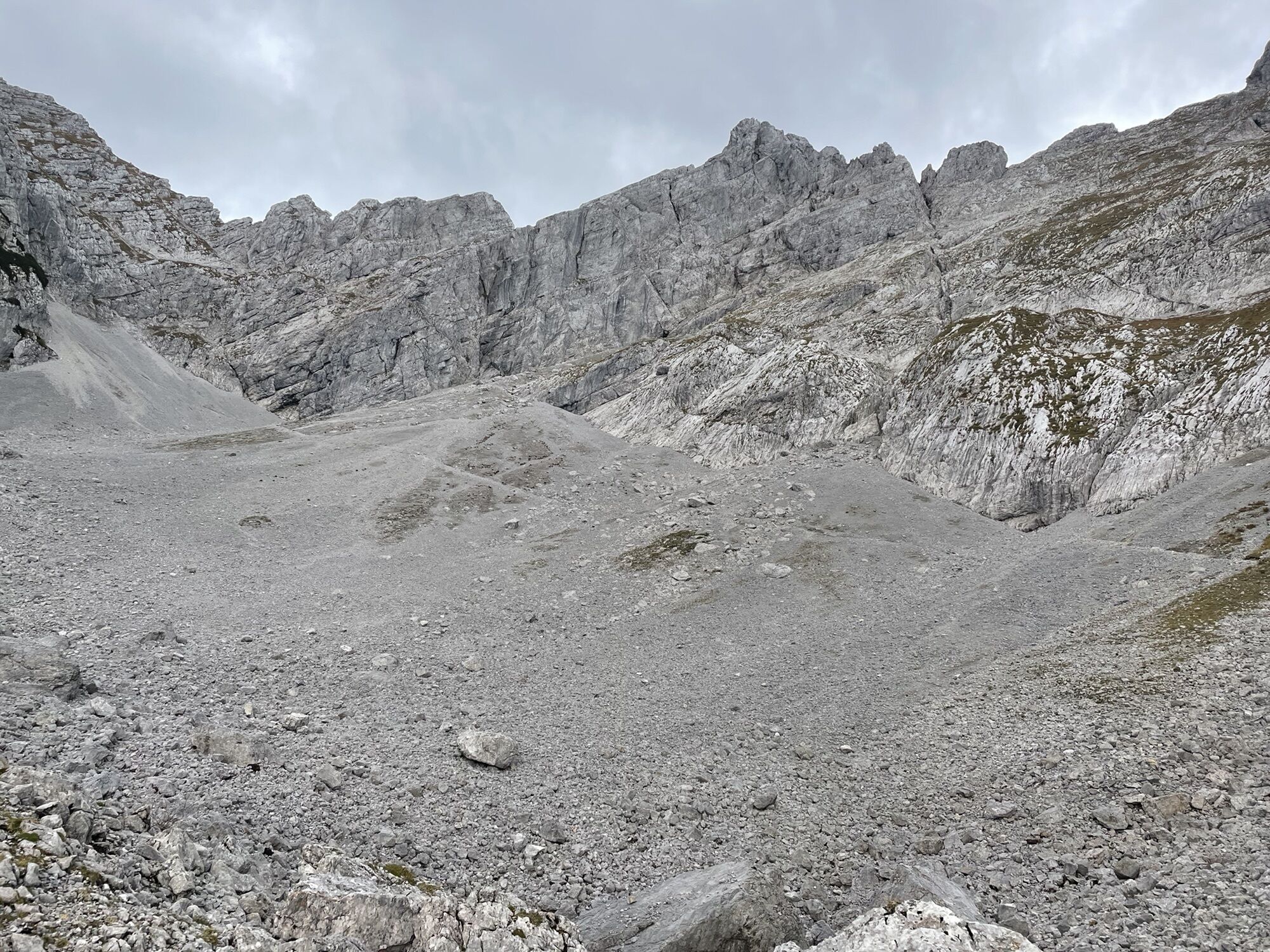
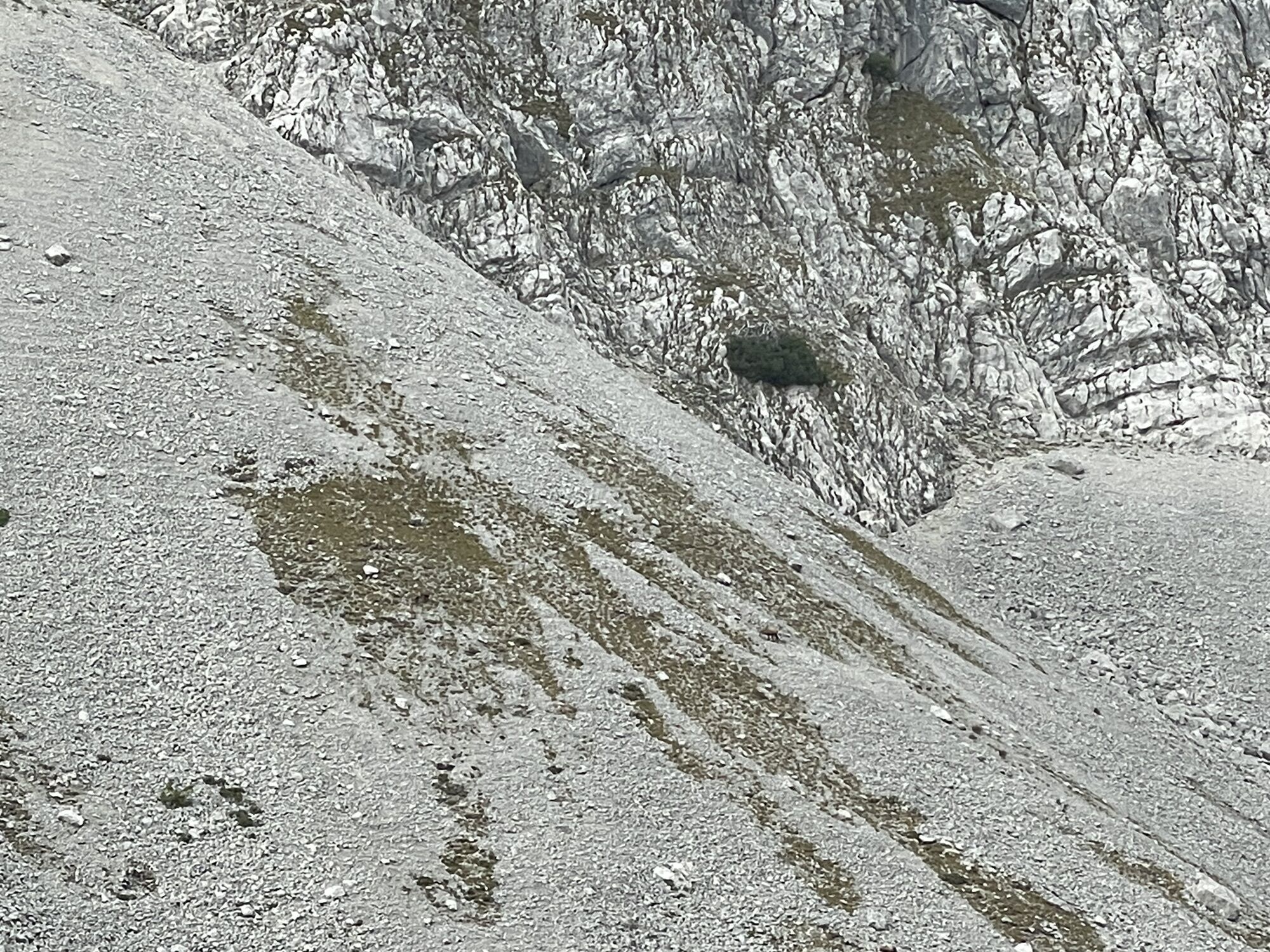
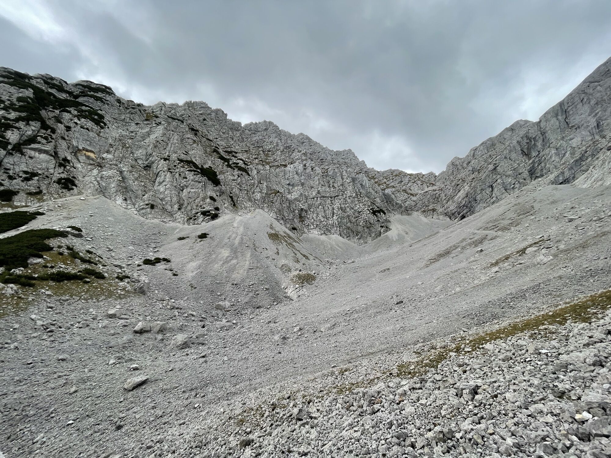
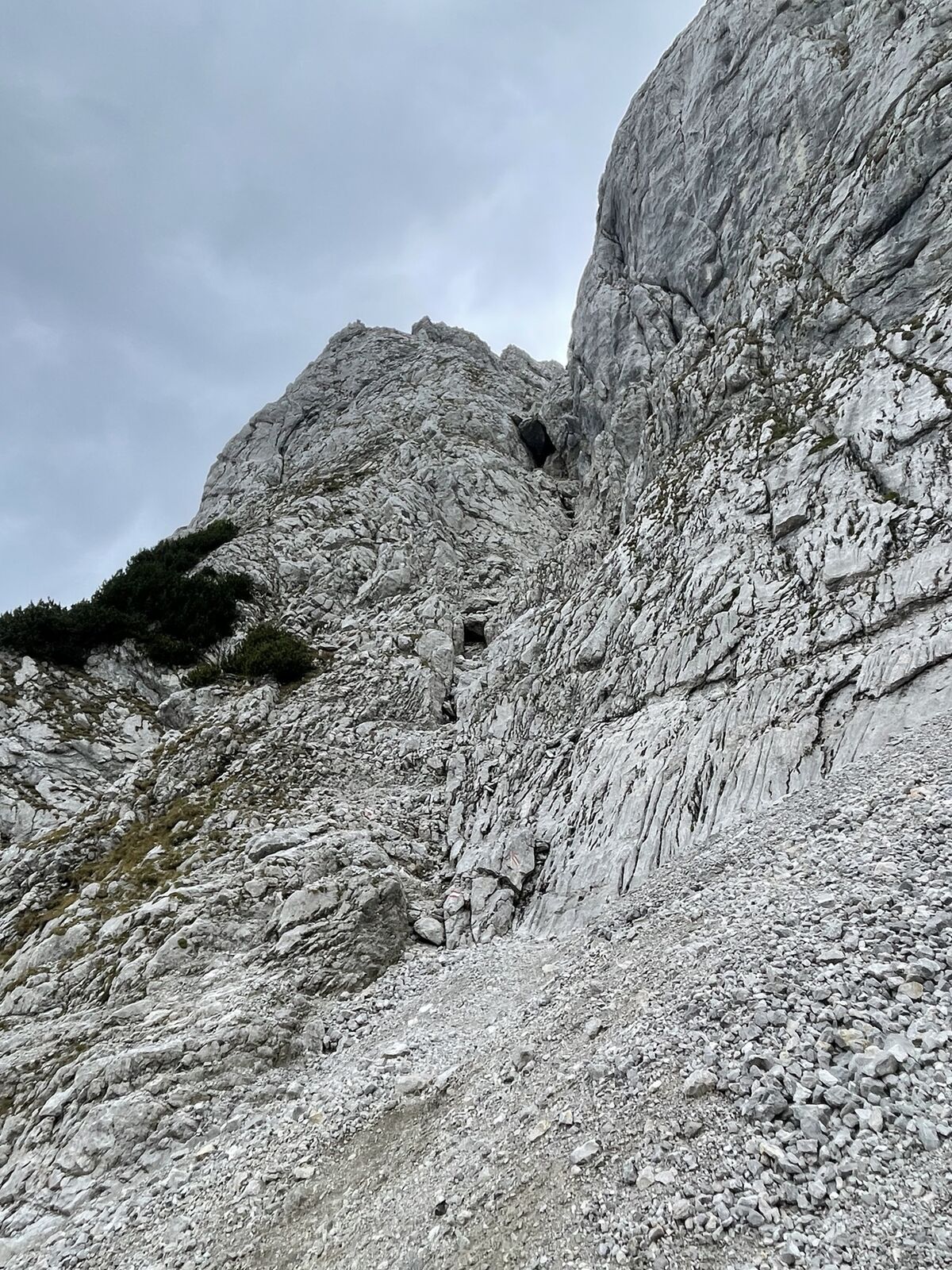
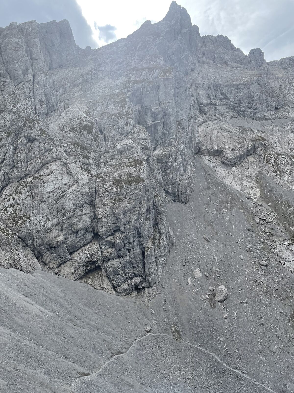
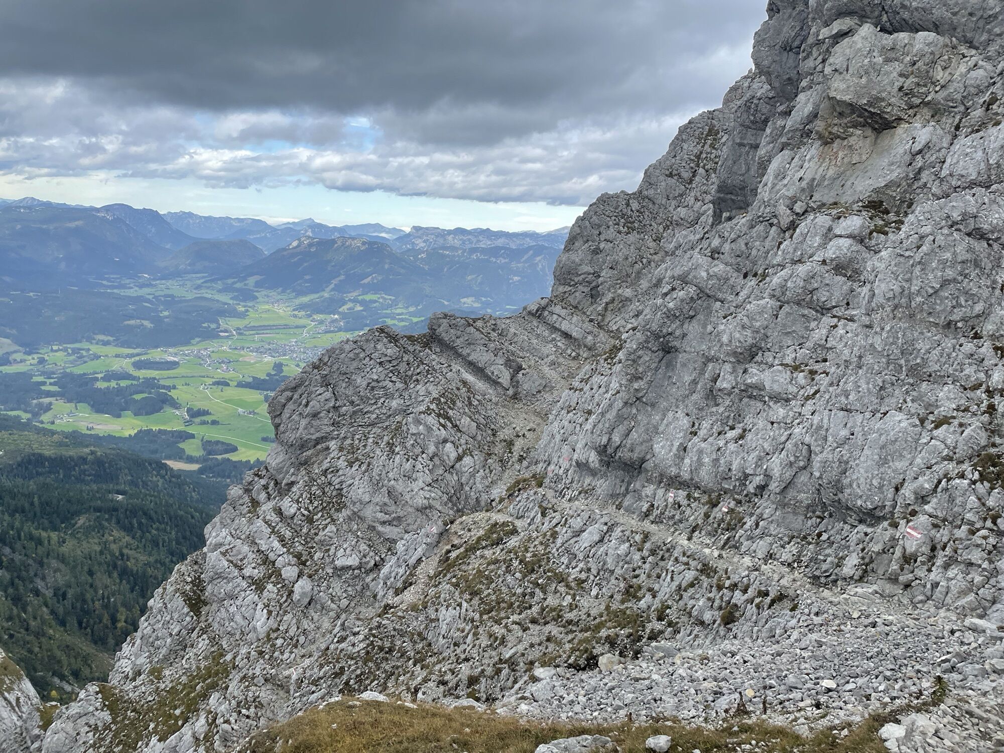
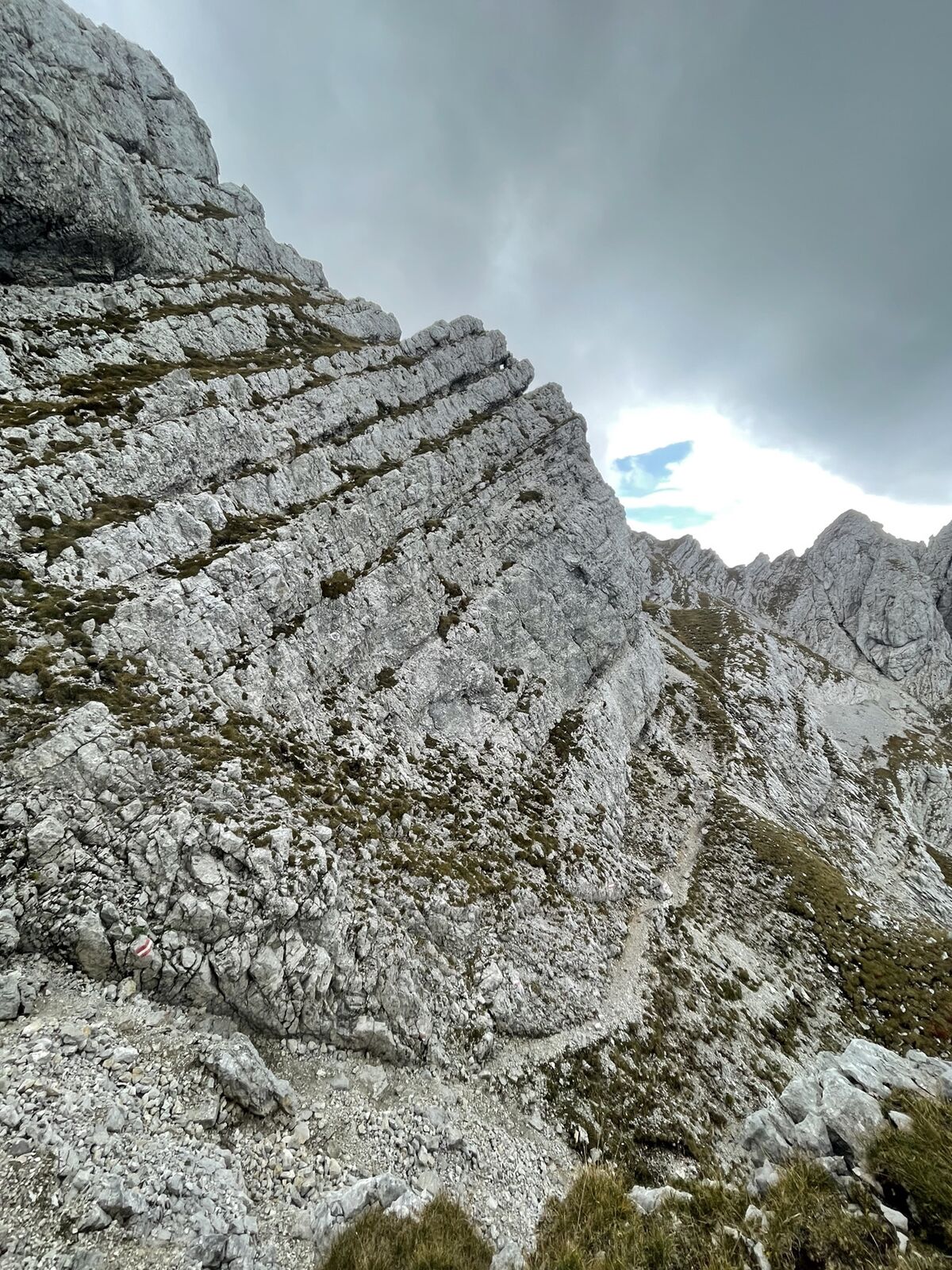
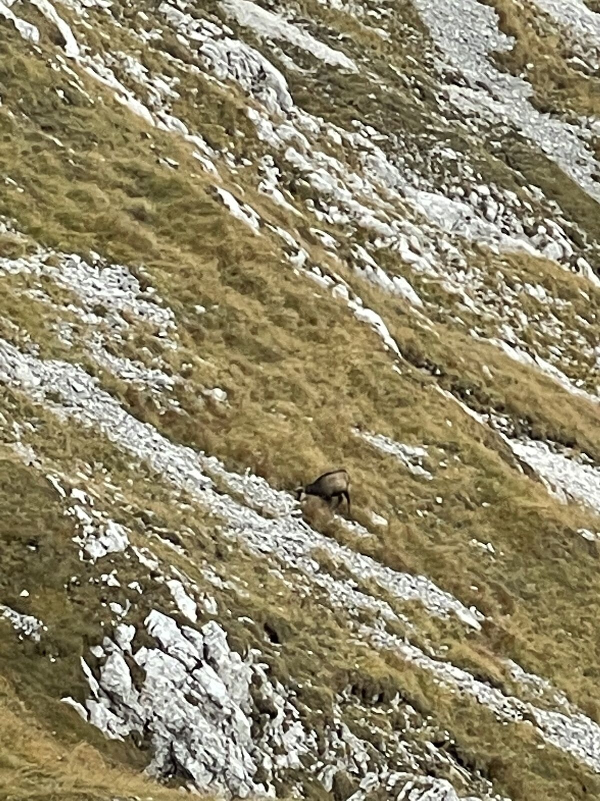
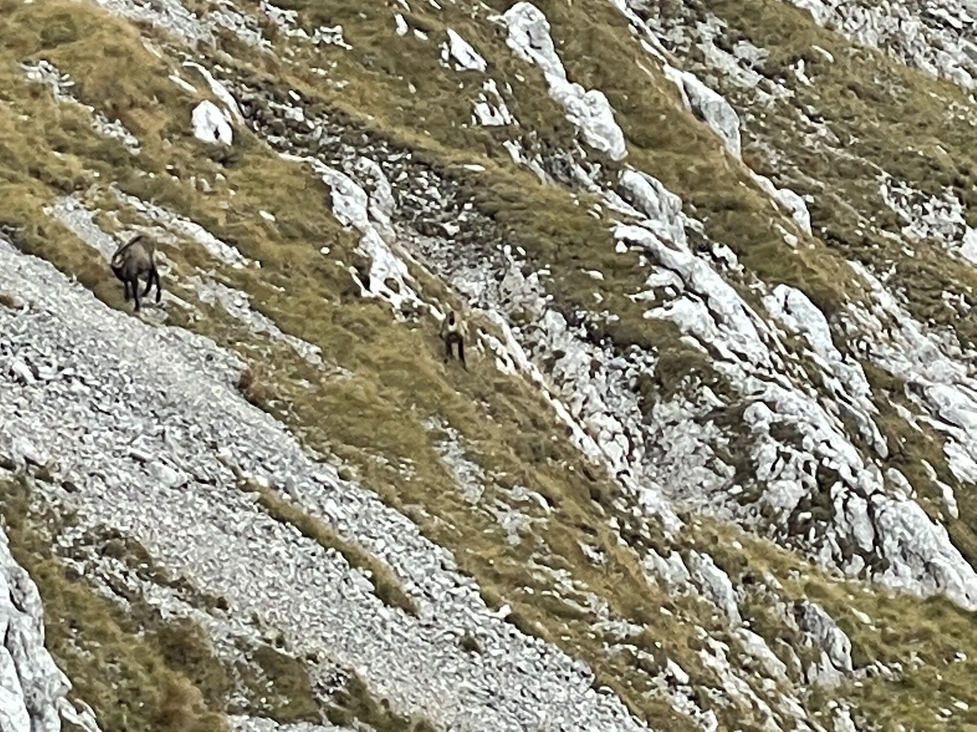
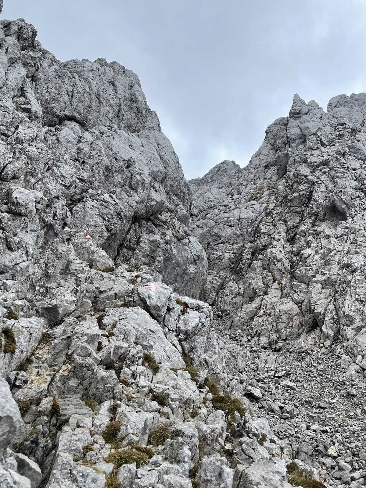
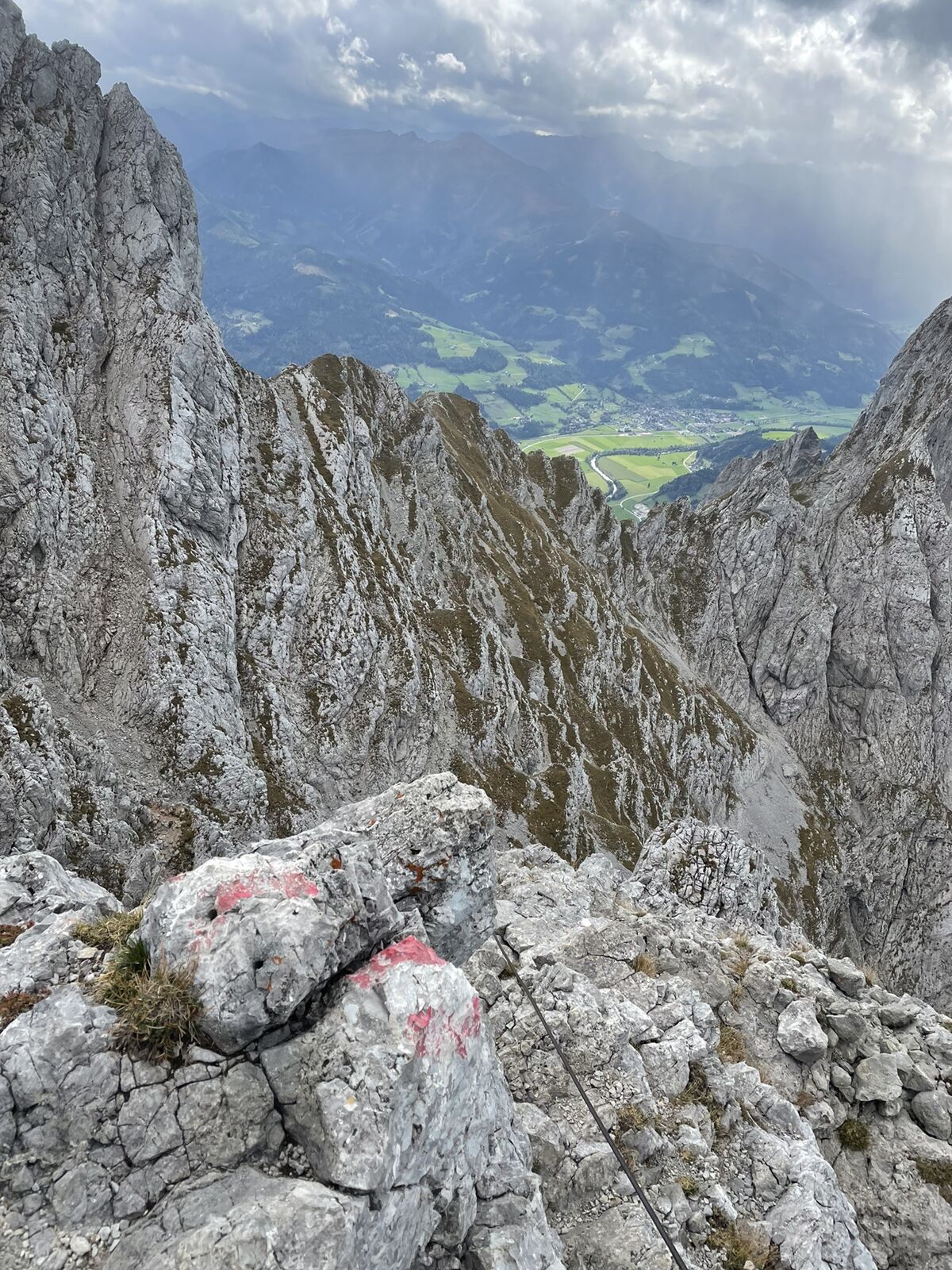
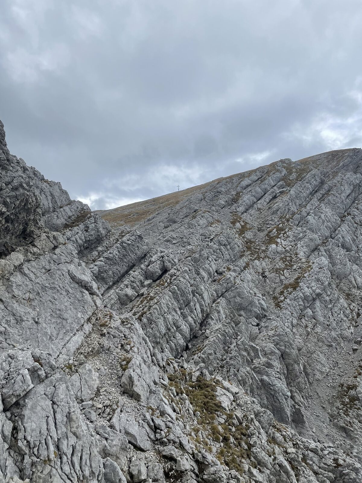
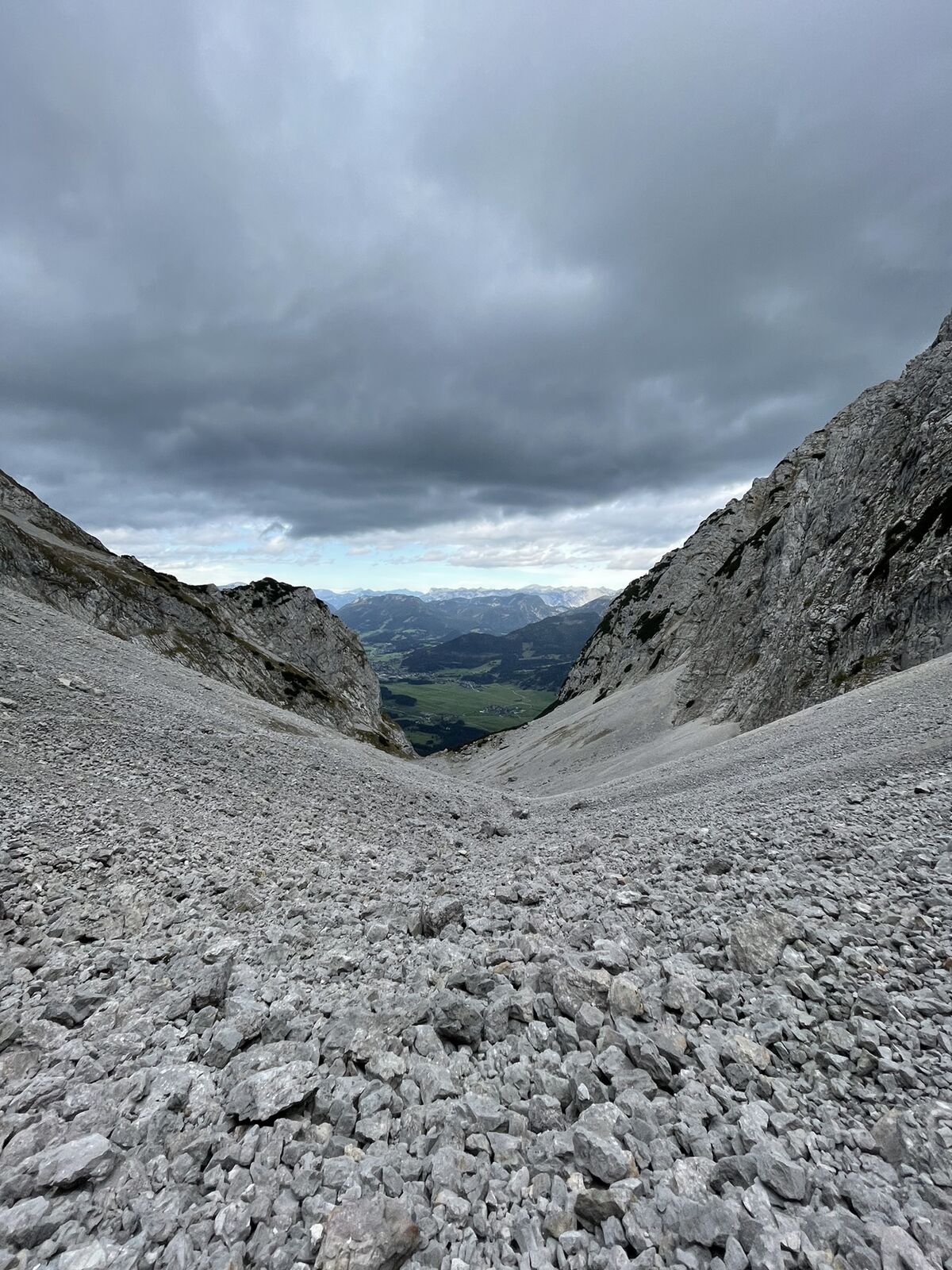
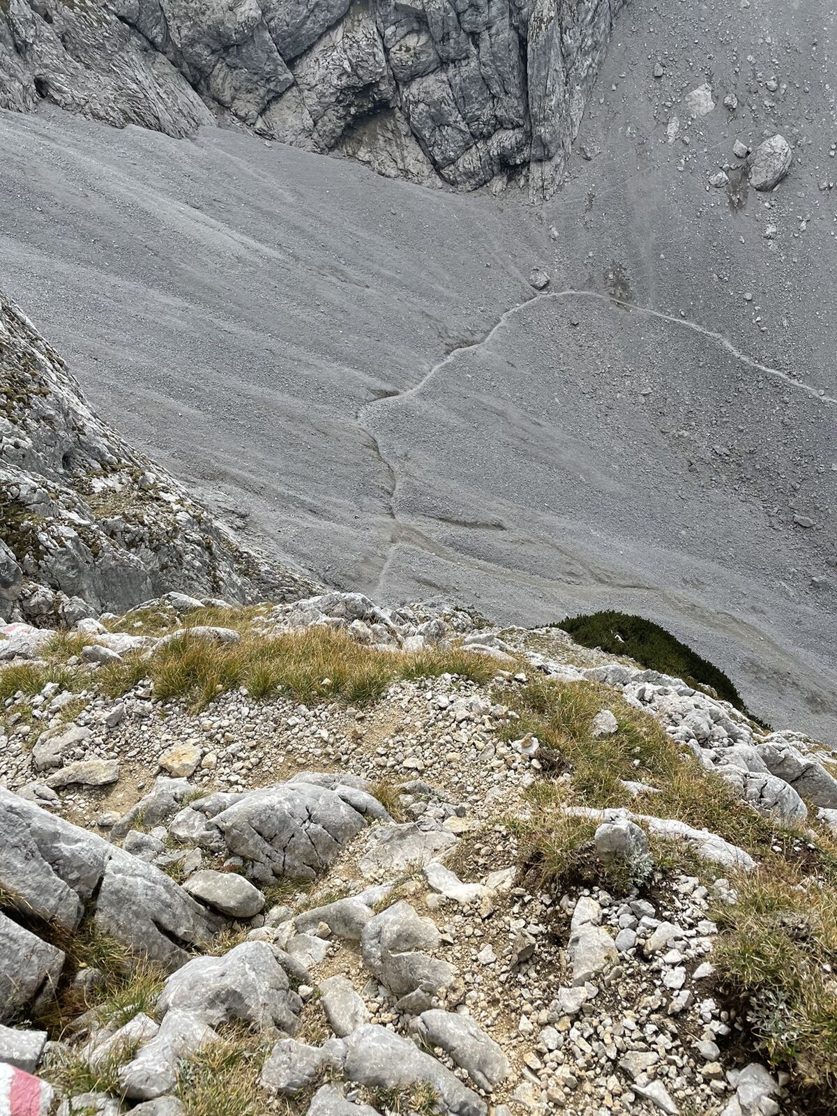
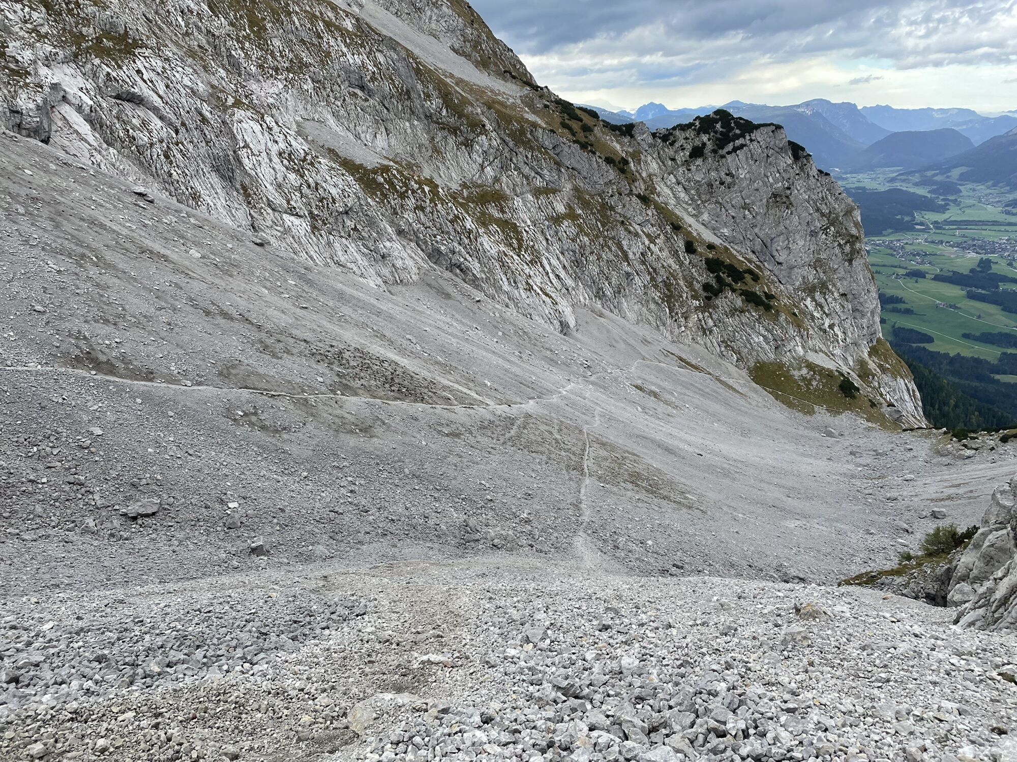
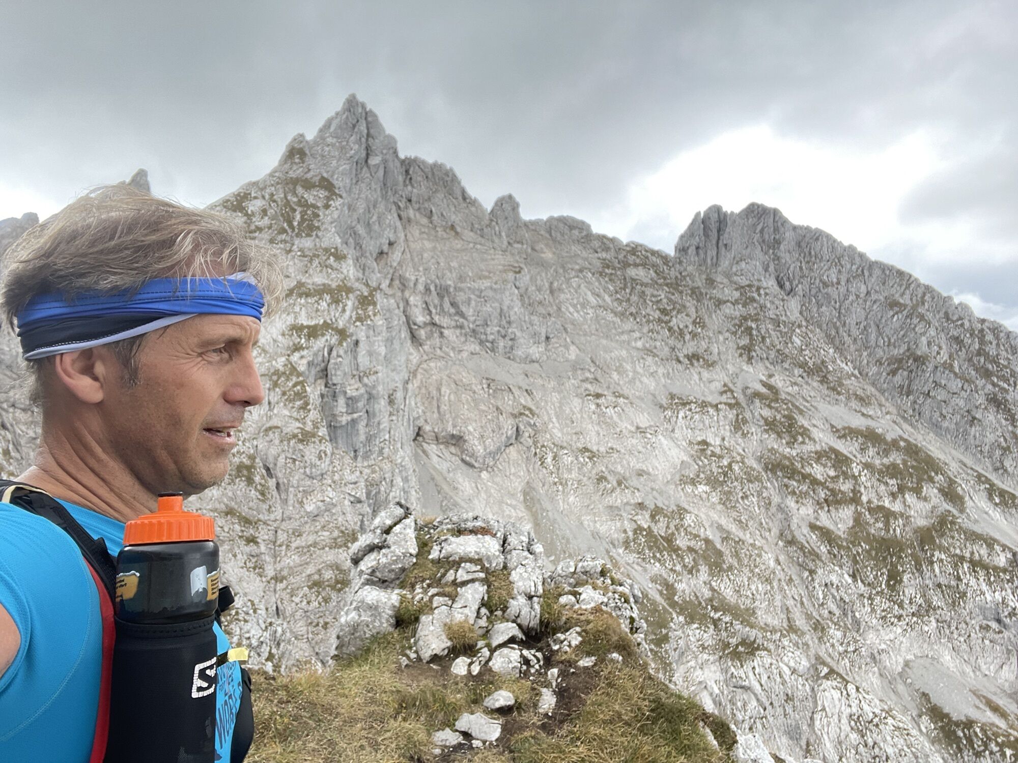
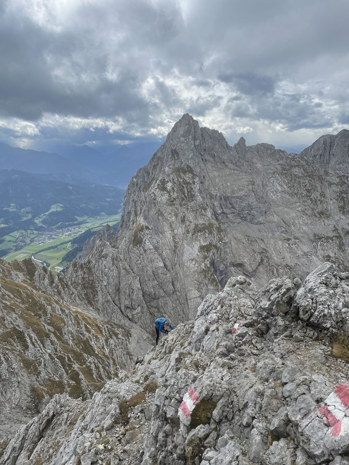
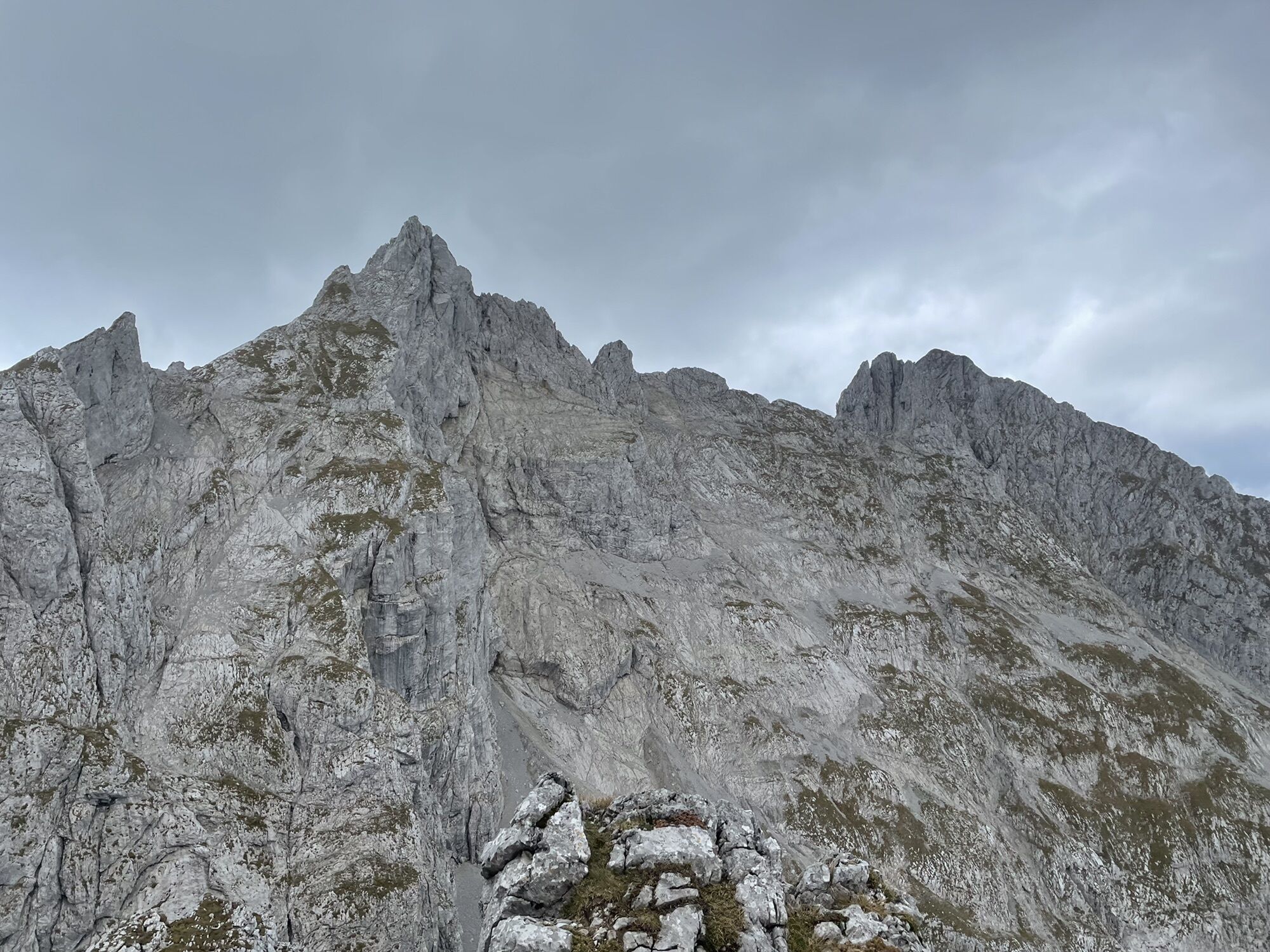
Bisserl Kletterei ? .
- Difficoltà
-
difficile
- Valutazione
-
- Percorso
-
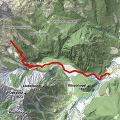
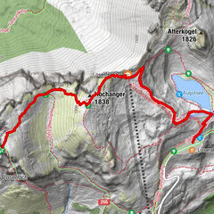
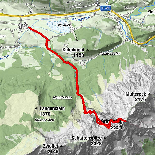
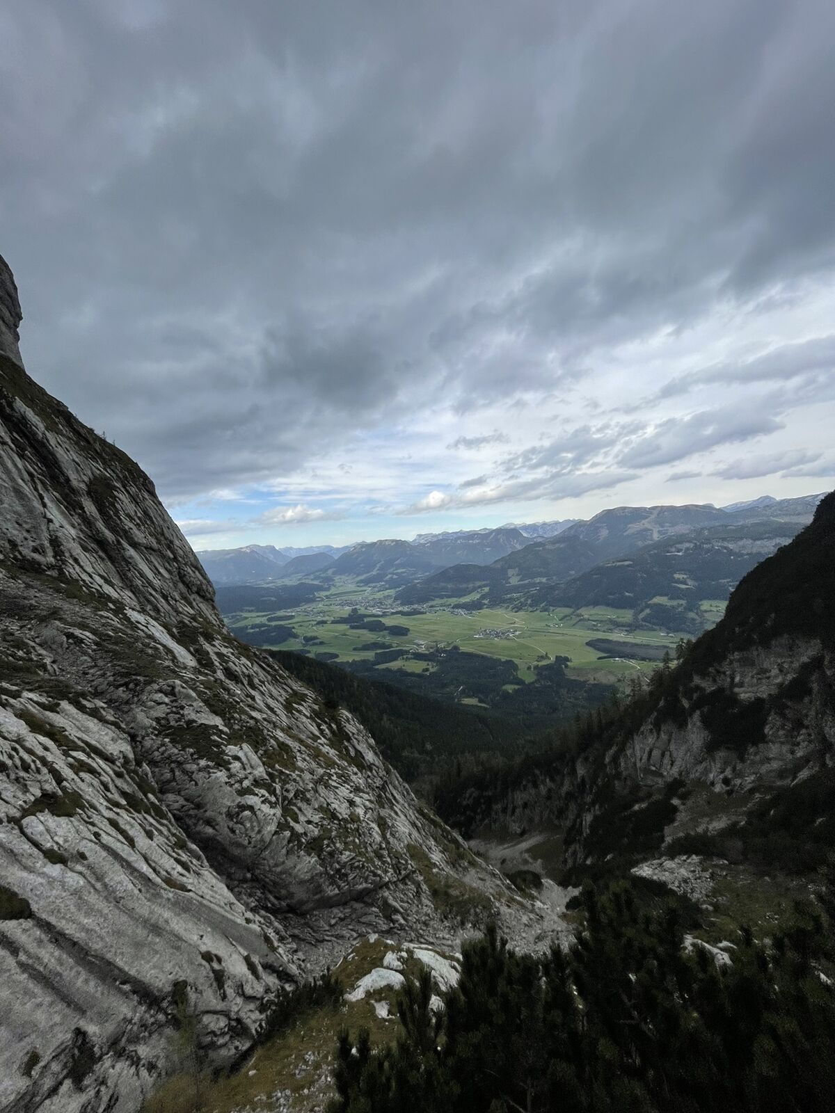
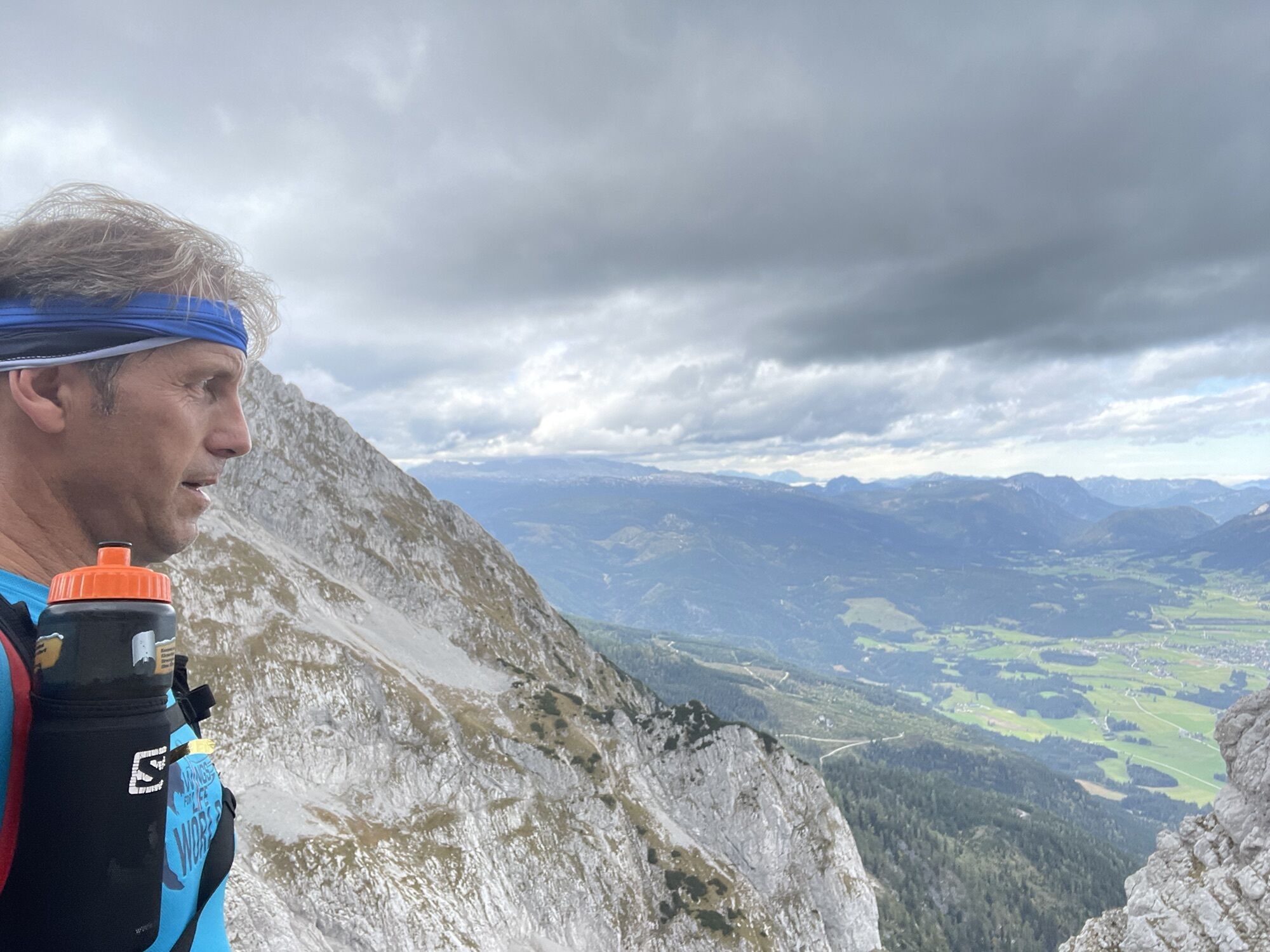
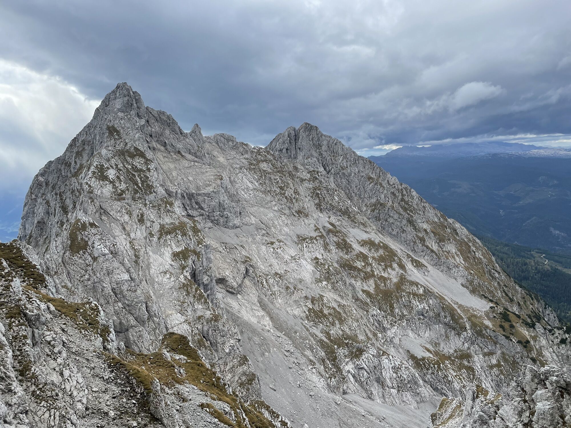
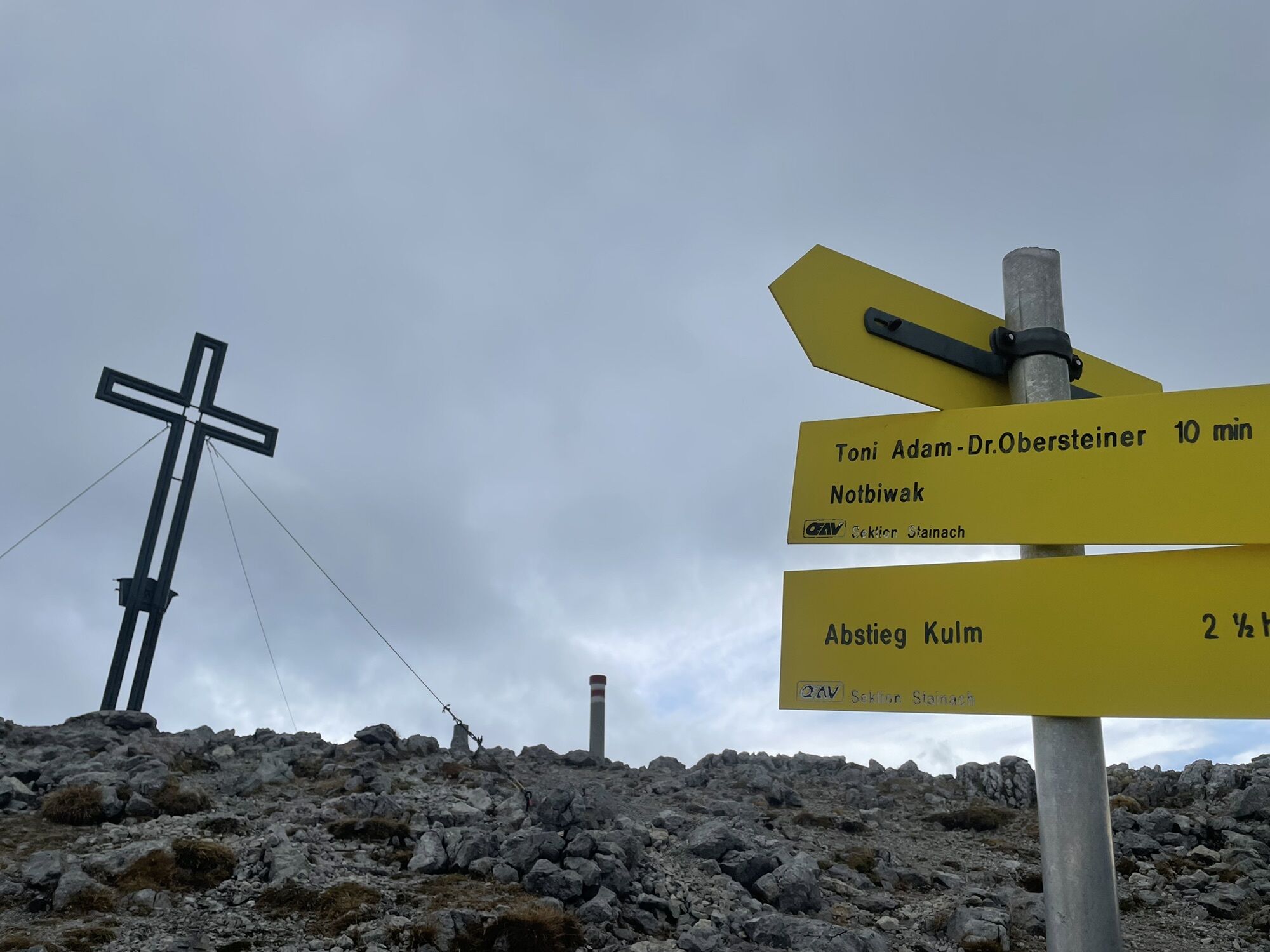
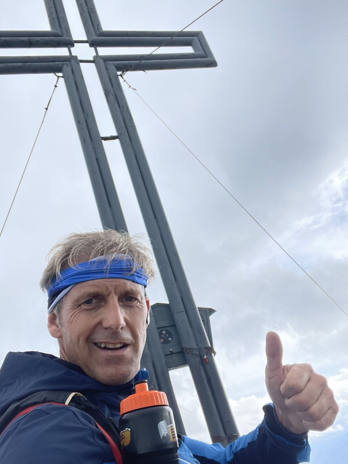
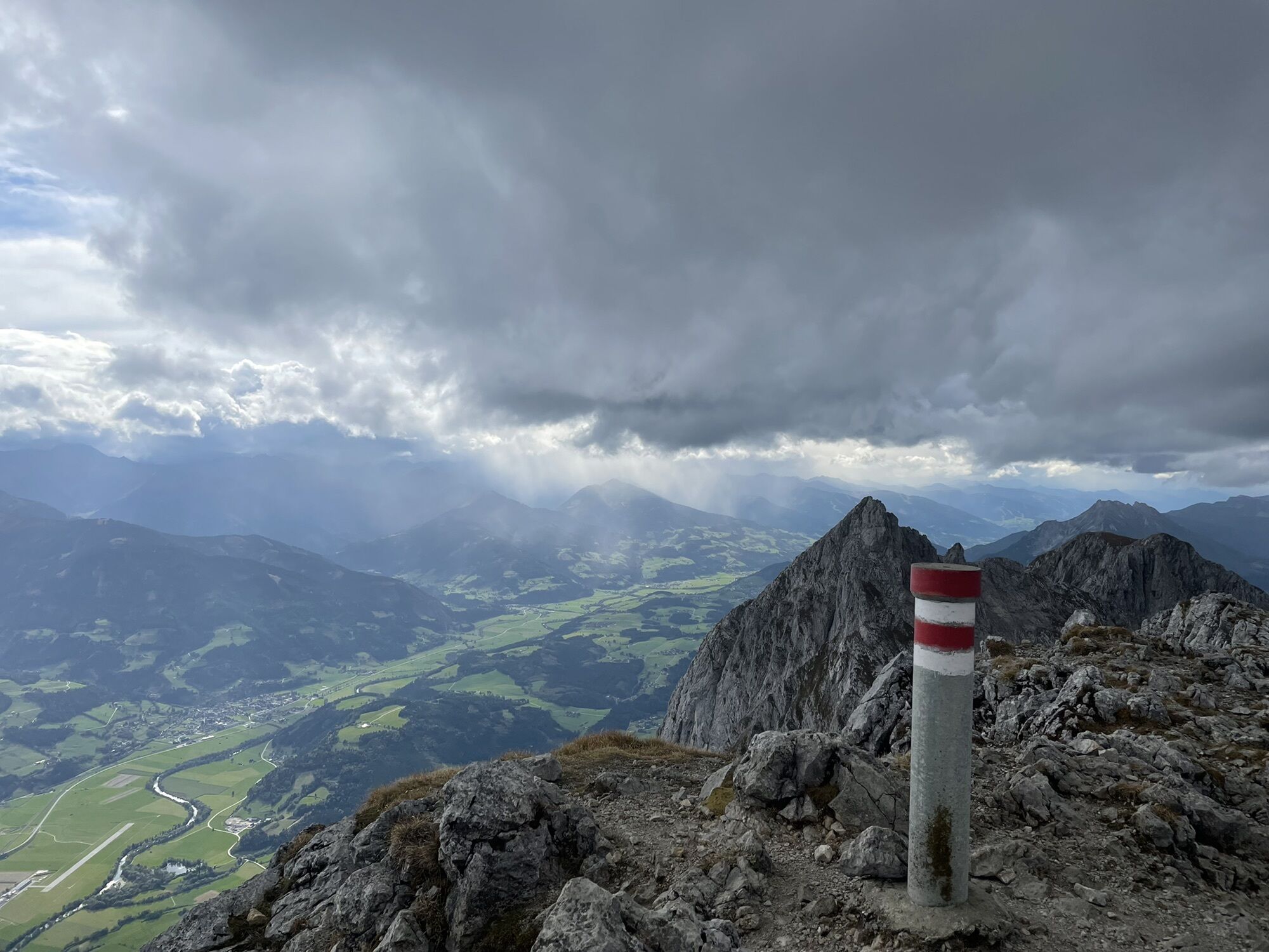
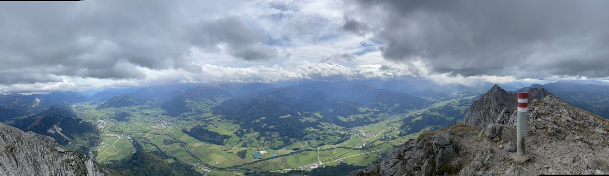
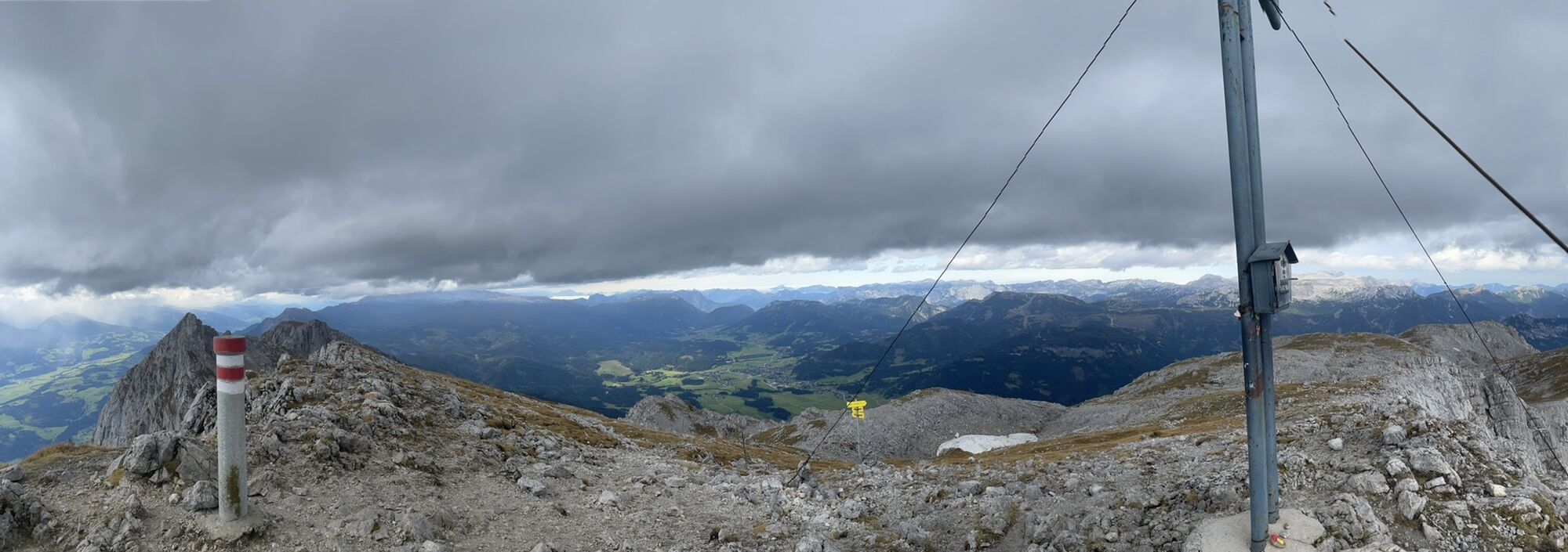
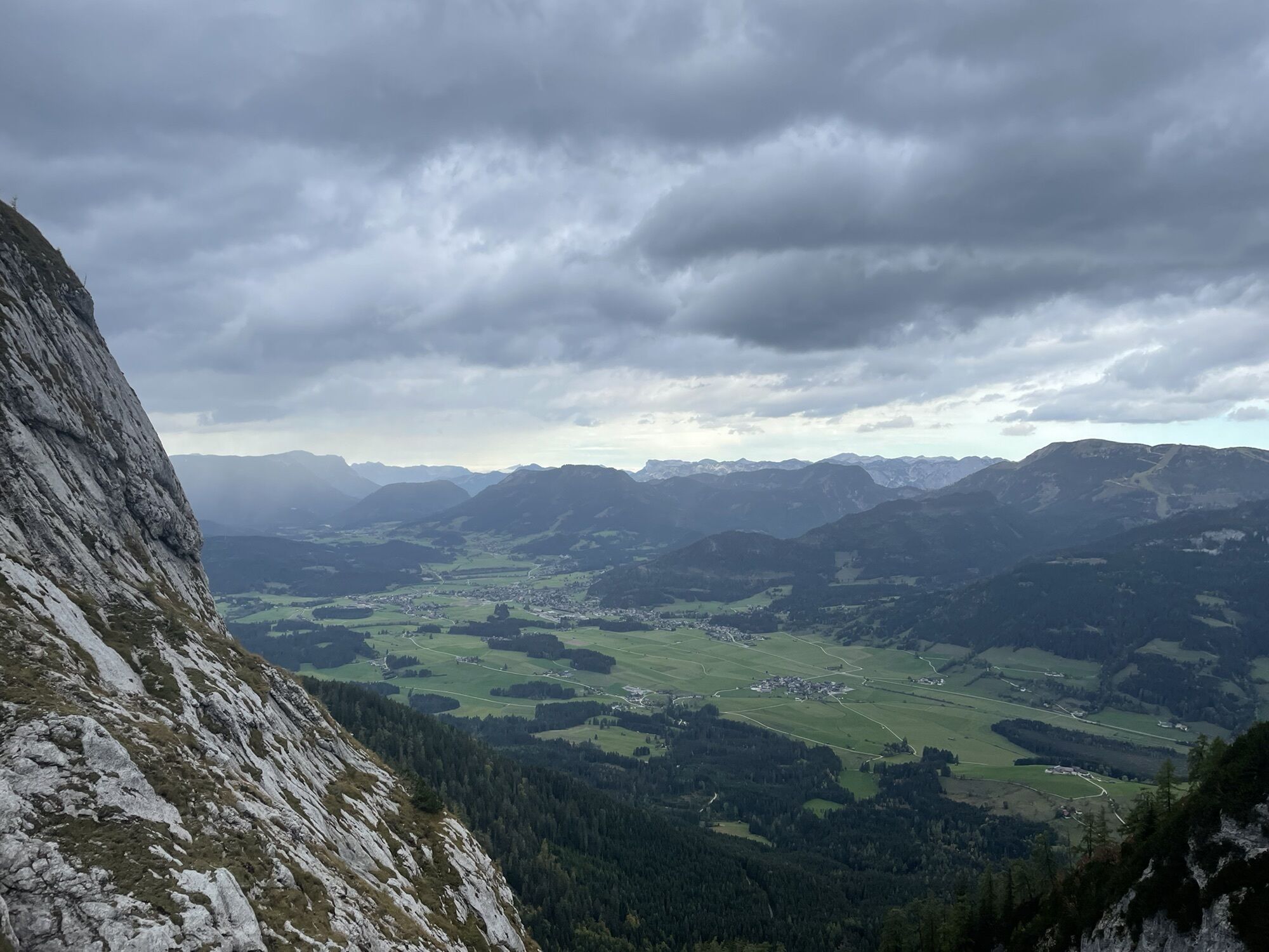
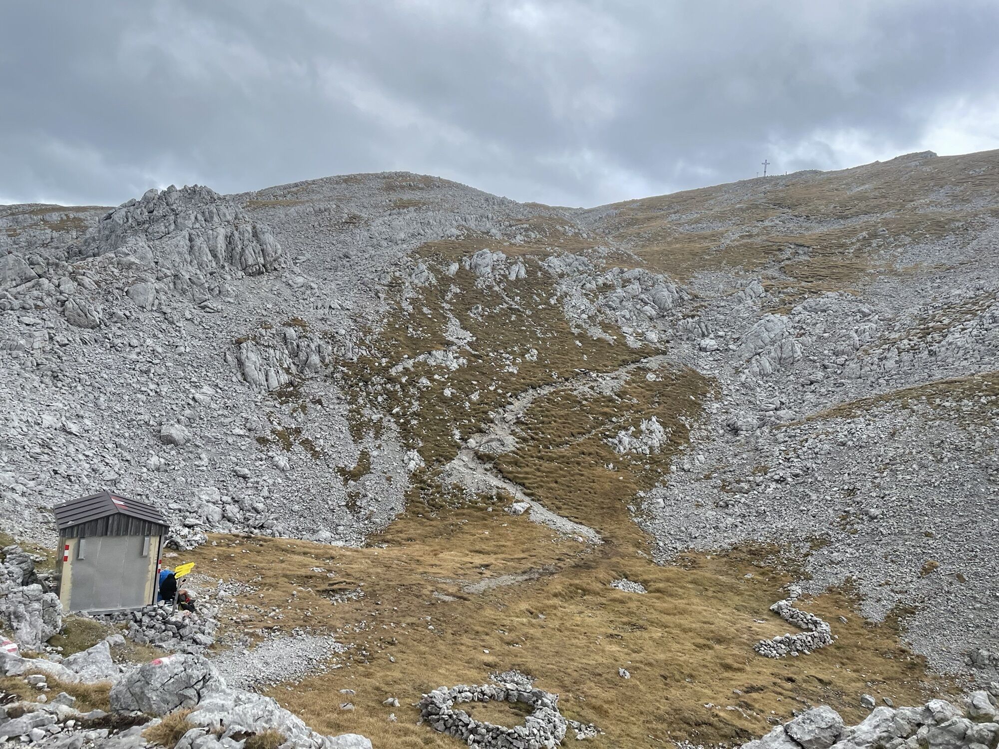
Grimming (2.351 m)7,0 kmKrungl13,8 km
- Punto più alto
- 2.342 m


GPS Downloads


Altri tour nelle regioni
-
Ausseerland - Salzkammergut
3382
-
Gröbminger Land
1190
-
Tauplitz
305