© Marktgemeinde Vordernberg

© Marktgemeinde Vordernberg

© Tourismusverband ERZBERG LEOBEN - David Busse

© Tourismusverband ERZBERG LEOBEN - Katharina Wassler

© Tourismusverband ERZBERG LEOBEN - cstadlhofer IG

© Tourismusverband ERZBERG LEOBEN - _kat.gruber_ IG

© Tourismusverband ERZBERG LEOBEN - anachromataf IG

© Tourismusverband ERZBERG LEOBEN - cstadlhofer IG

© Tourismusverband ERZBERG LEOBEN - mountainphotos_by_bieri IG

© Tourismusverband ERZBERG LEOBEN - W. Kure

- Descrizione rapida
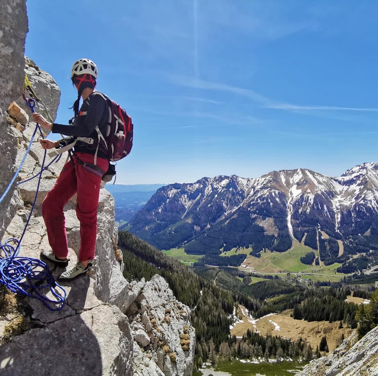
- Difficoltà
-
intermedio
- Valutazione
-
- Percorso
-
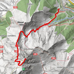
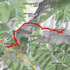
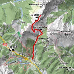
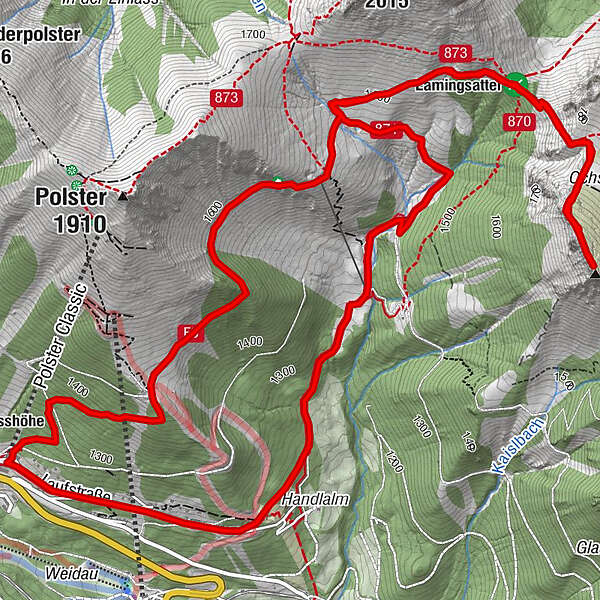
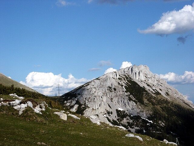
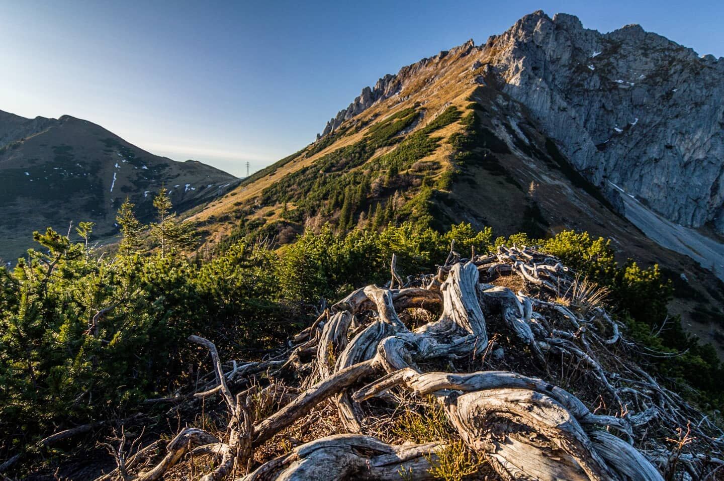
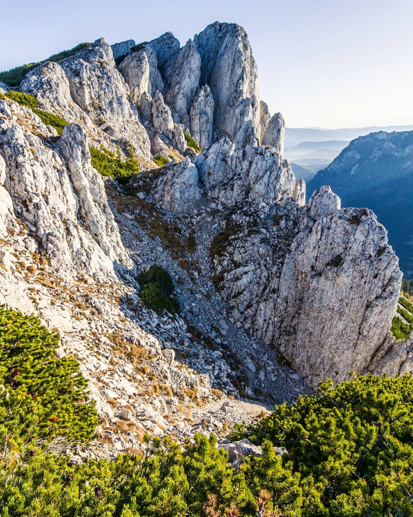
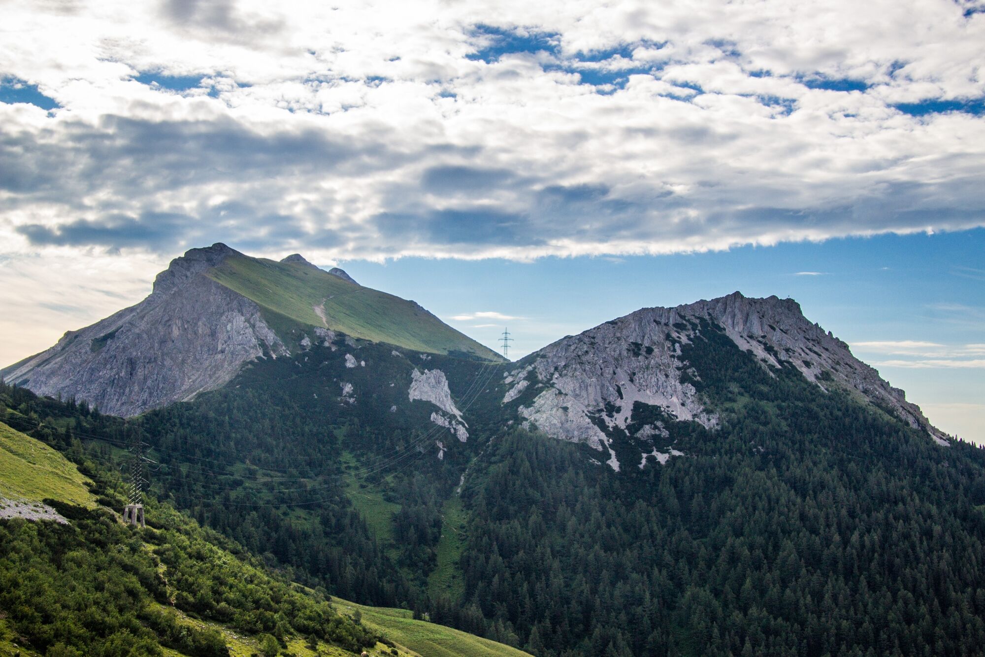
Knappensteig Alm1,1 kmPolsterkar Höhle2,4 kmLeobner Hütte2,6 kmLamingsattel (1.677 m)3,9 kmLeobner Mauer (1.870 m)5,1 km
- La stagione migliore
-
genfebmaraprmaggiulugagosetottnovdic
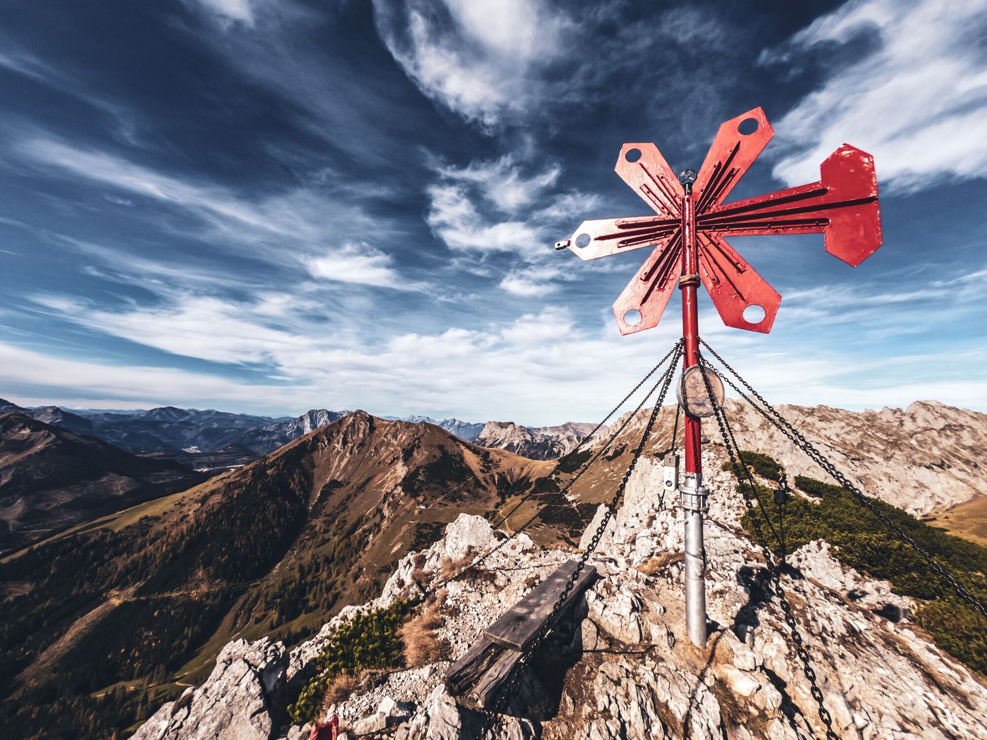
- Punto più alto
- 1.860 m
- Destinazione
-
Präbichl Passhöhe
- Profilo altimetrico
-


- Autore
-
Il tour Leobner Mauer è utilizzato da outdooractive.com fornito.
GPS Downloads


Info generali
Punto di ristoro
Fauna
Promettente
Altri tour nelle regioni
-
Erzberg Leoben
2530
-
Hochschwab
1273
-
Präbichl
387