© Museum Eisenerz - Edith Krapf

© WEGES OG

© WEGES OG

© WEGES OG

© WEGES OG

© Steiermark Tourismus - Manfred Polansky

© WEGES OG

- Descrizione rapida
-
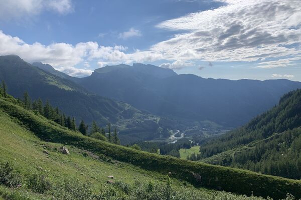
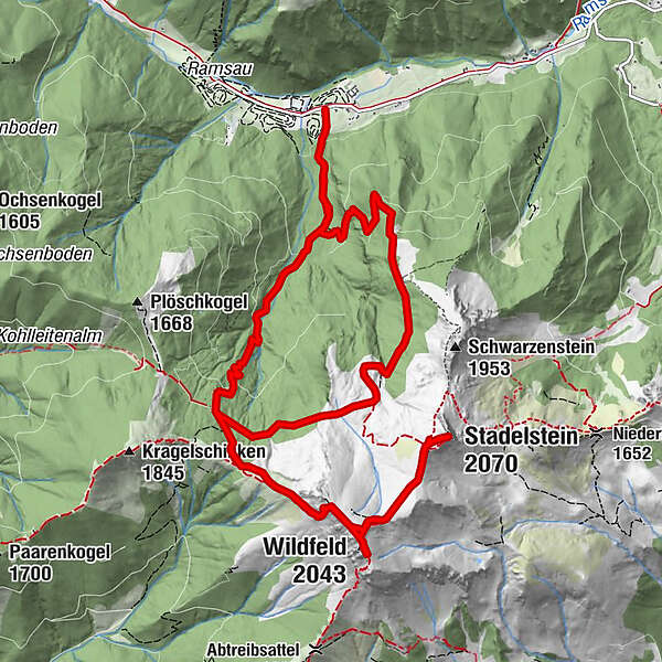
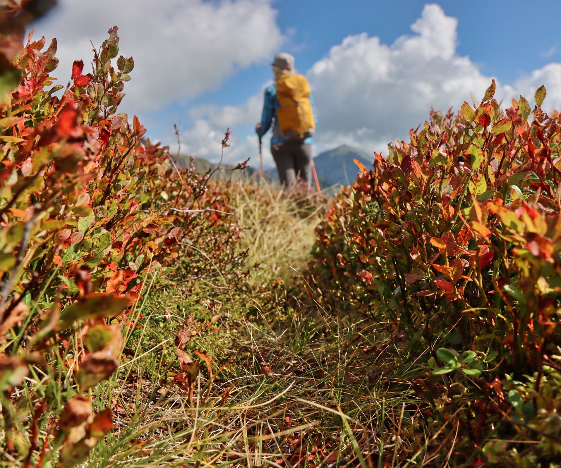
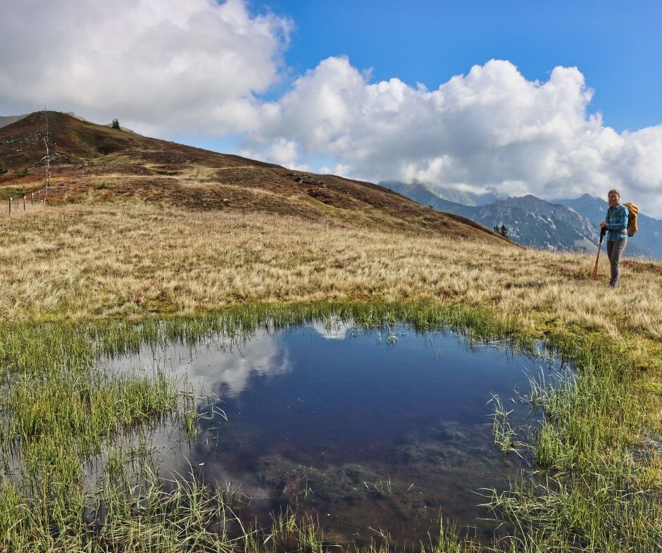
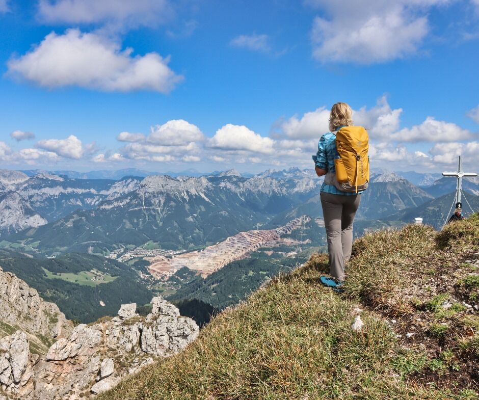
Very beautiful mountain tour in the Eisenerzer Ramsau with two two-thousand-meter peaks, the Wildfeld and the Stadelstein.
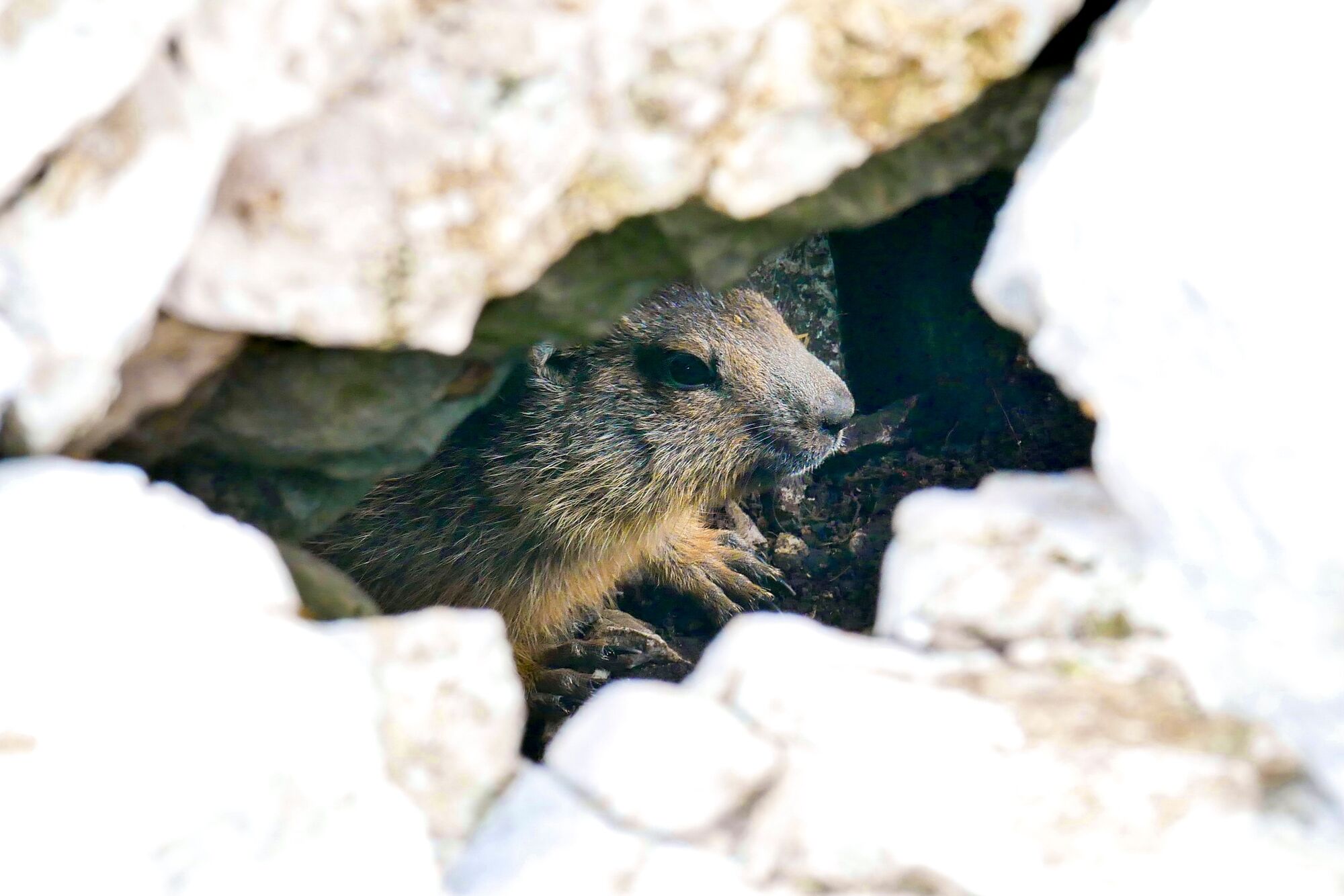
Starting point is the parking lot behind the Pichlerhof Inn. The hiking tour leads to the Teichenegg over the Wildfeld - where marmots can be observed. Continue to Stadlstein - Hochalm and return to Gasthof Pichlerhof. The breathtaking mountain tour is located in the ERZBERG LEOBEN region.
- Percorso
-
Teicheneggalm3,1 kmWildfeld (2.043 m)4,9 kmStadelstein (2.070 m)6,5 kmNebelkreuz (1.700 m)10,5 kmHochalmhütte12,5 kmHochalm12,5 km
- La stagione migliore
-
genfebmaraprmaggiulugagosetottnovdic
- Punto più alto
- 2.040 m
- Destinazione
-
Starting point
- Profilo altimetrico
-


- Autore
-
Il tour Wildfeld - Stadlstein è utilizzato da outdooractive.com fornito.
GPS Downloads


Info generali
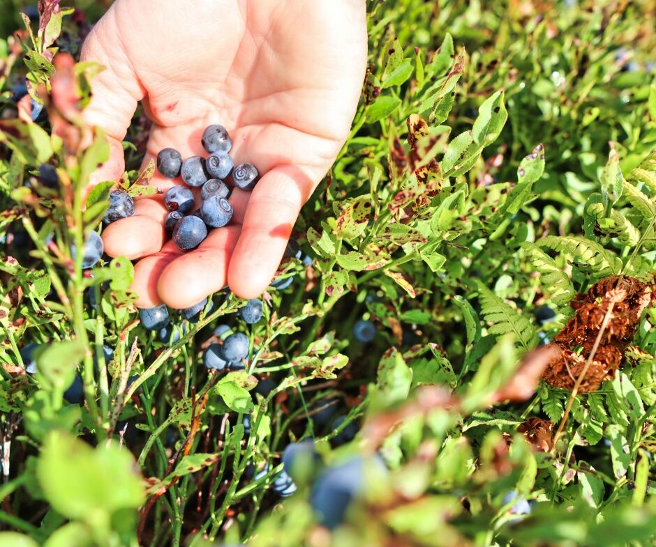
Fauna
Promettente
Altri tour nelle regioni
-
Erzberg Leoben
2530
-
Hochschwab
1272
-
Eisenerz
277