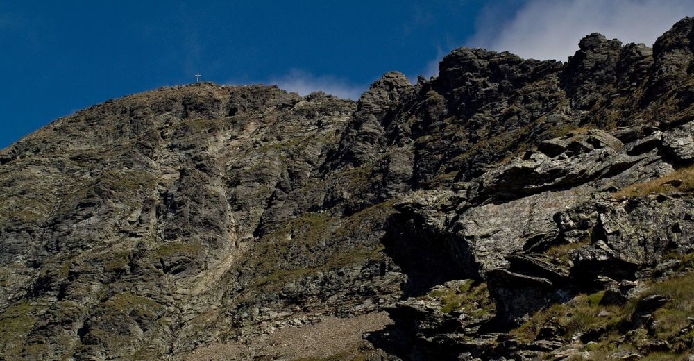
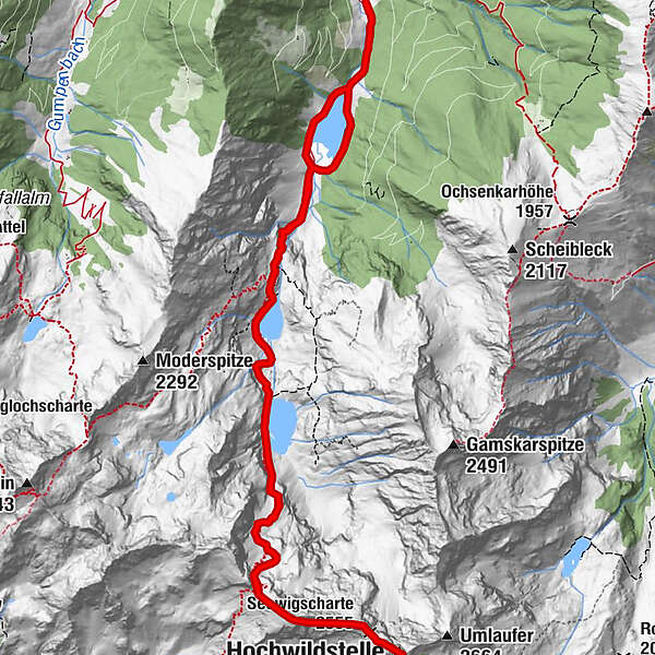
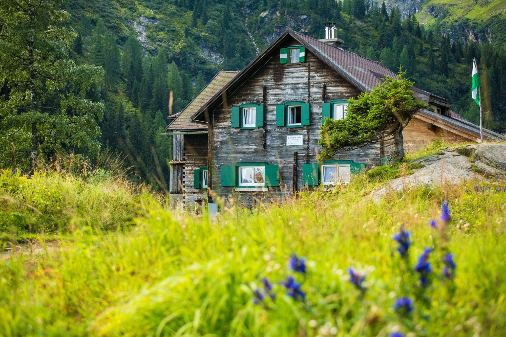
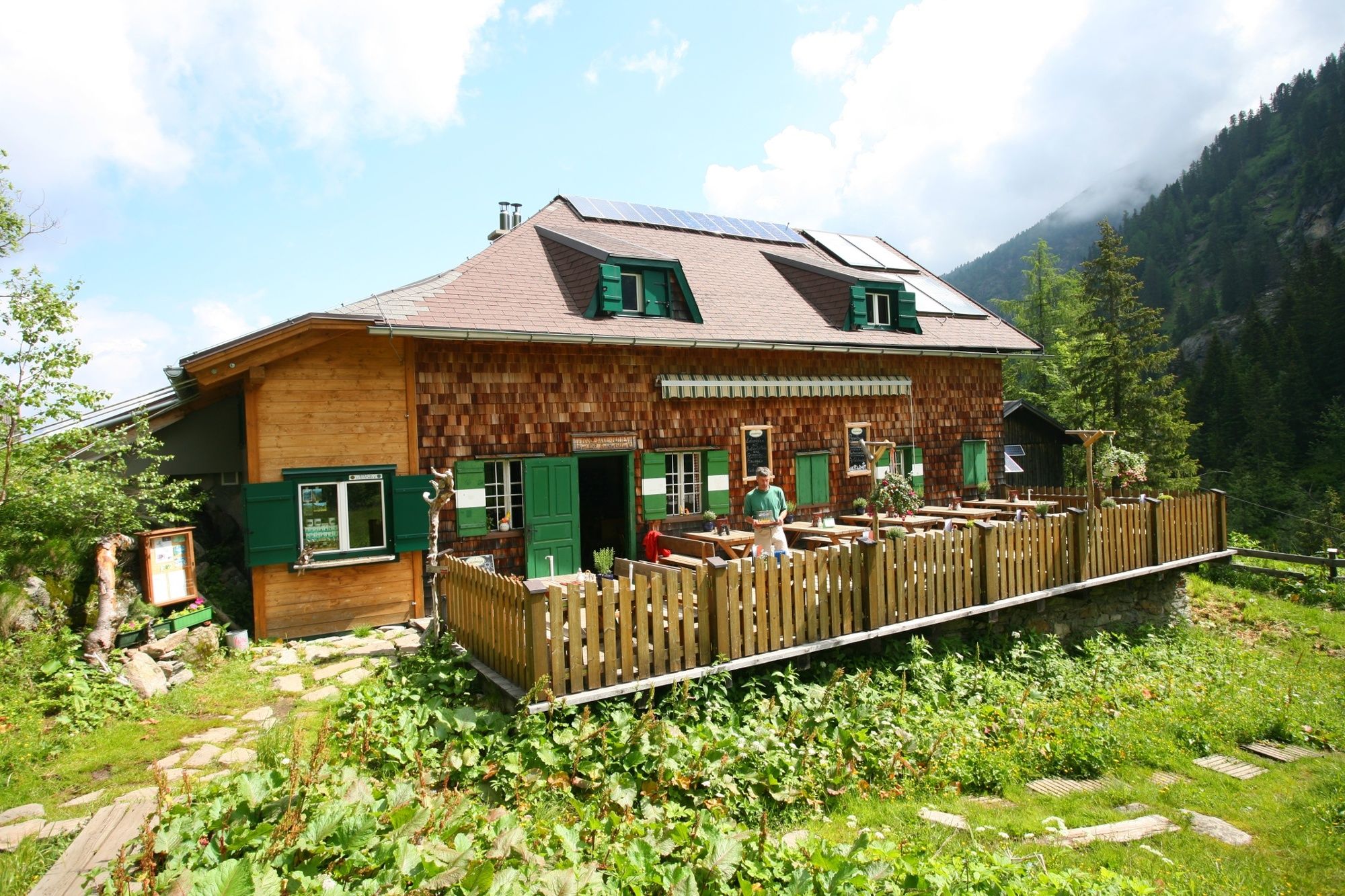
The Hochwildstelle (2,747 m) - via the Hans Wödl Hütte

Escursionismo

© Tourismusverband Haus-Aich-Gössenberg - Privat
© Erlebnisregion Schladming-Dachstein - Schladming Dachstein

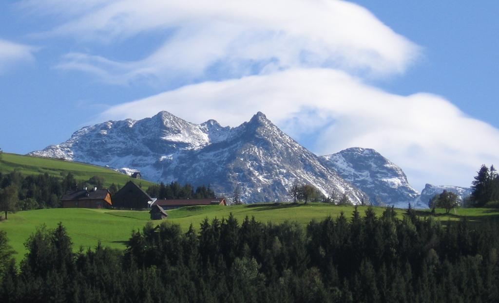
© Tourismusverband Haus-Aich-Gössenberg - Herbert Raffalt

© Tourismusverband Haus-Aich-Gössenberg
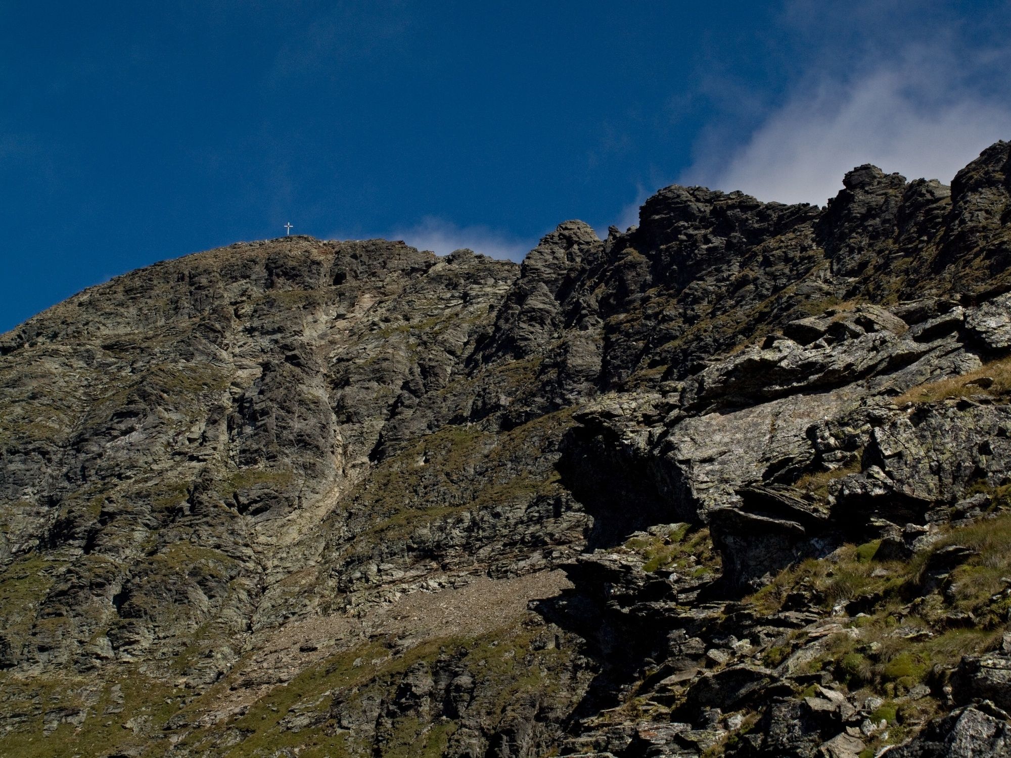
© TVB Haus-Aich-Gössenberg - René Eduard Perhab

© TVB Haus-Aich-Gössenberg - René Eduard Perhab

© Erlebnisregion Schladming-Dachstein - Schladming Dachstein
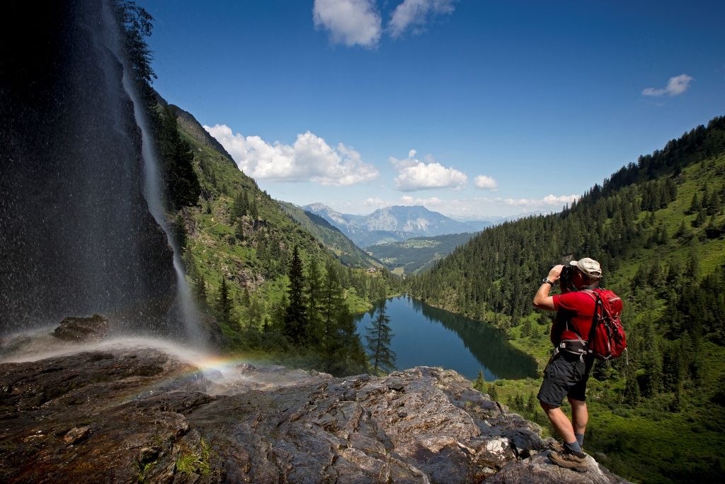
© TVB Haus-Aich-Gössenberg - René Eduard Perhab
© TVB Haus-Aich-Gössenberg - René Eduard Perhab
- Descrizione rapida
-
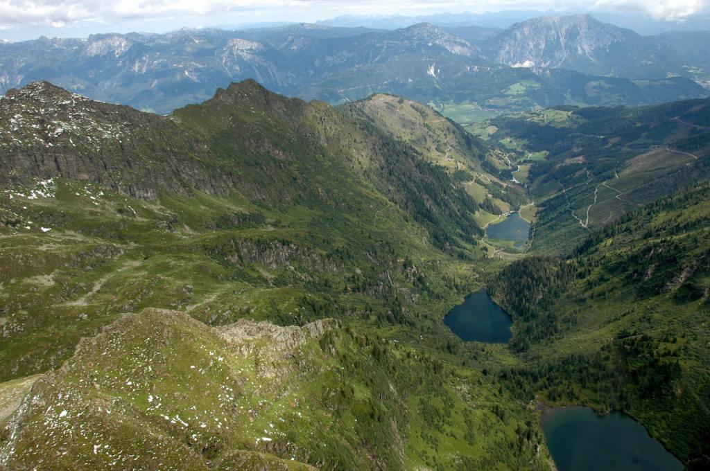
Demanding mountain tour to the high game site, the second highest mountain of the Schladminger Tauern as well as the highest mountain which is entirely on Styrian territory.
- Difficoltà
-
difficile
- Valutazione
-
- Percorso
-
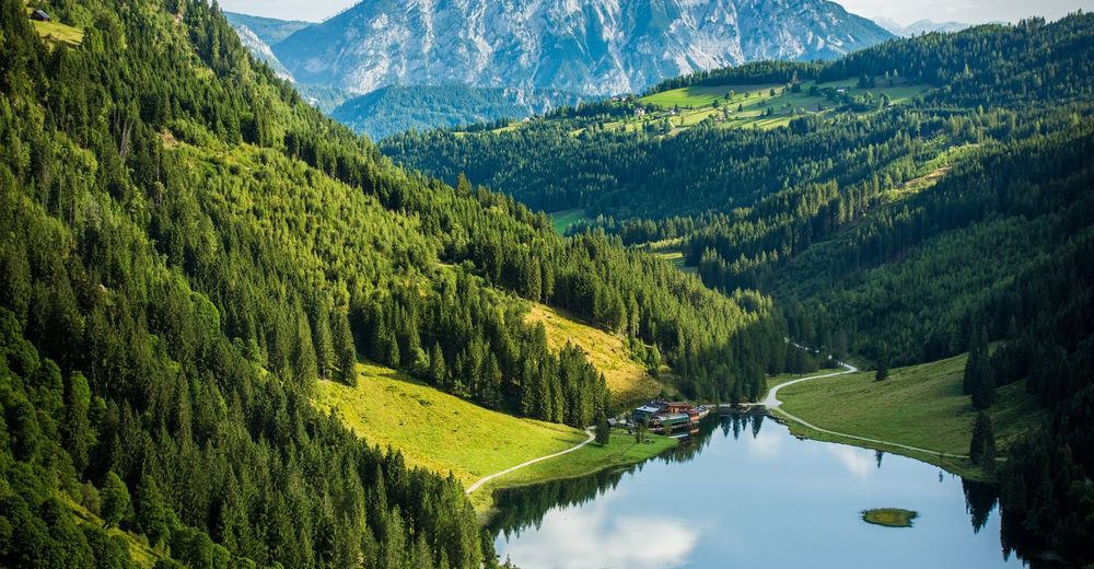
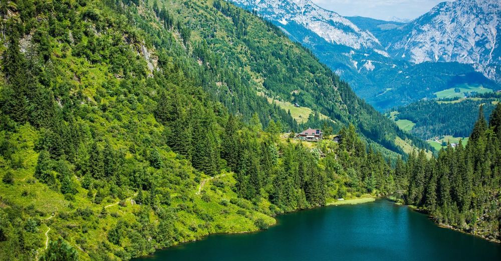
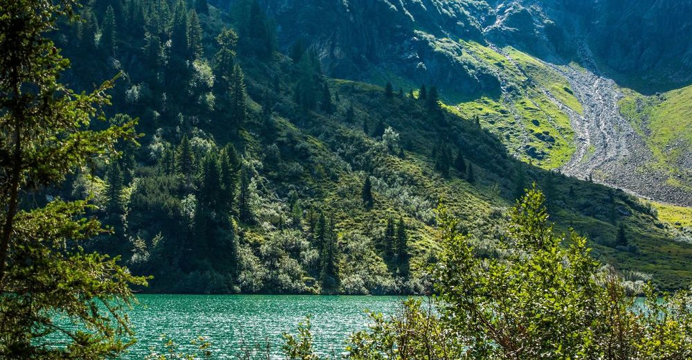
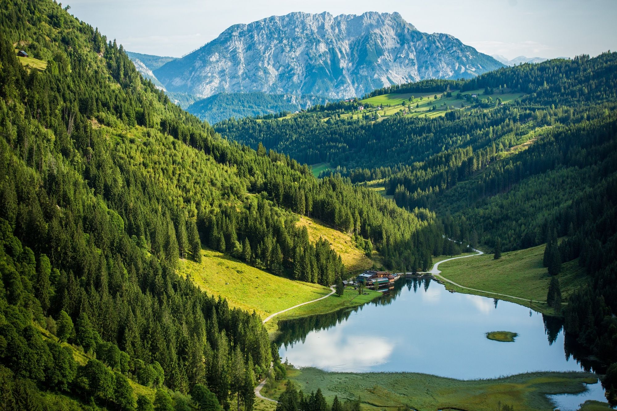
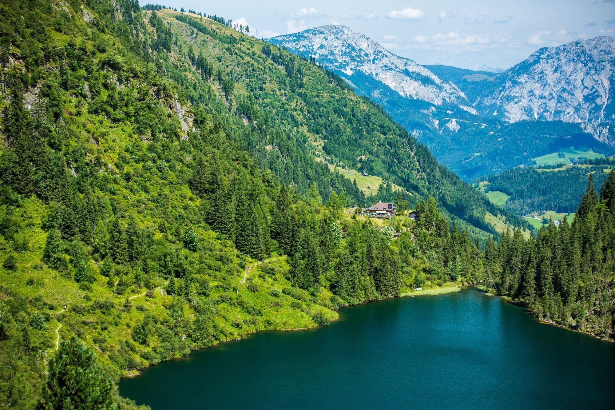
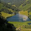
Seewigtalstüberl0,1 kmForellenhof0,9 kmBodenseewasserfall2,1 kmHans-Wödl Hütte (1.533 m)2,7 kmSchleierwasserfall3,6 kmHochwildstelle (2.747 m)7,3 kmSeewigscharte (2.555 m)7,4 kmKleine Wildstelle (2.577 m)8,0 kmSchleierwasserfall10,9 kmHans-Wödl Hütte (1.533 m)12,0 kmBodenseewasserfall12,5 kmSeewigtalstüberl14,7 km
- La stagione migliore
-
genfebmaraprmaggiulugagosetottnovdic
- Punto più alto
- 2.709 m
- Destinazione
-
Parking area Steirischer Bodensee, Seewigtal
- Profilo altimetrico
-


-
-
AutoreIl tour The Hochwildstelle (2,747 m) - via the Hans Wödl Hütte è utilizzato da outdooractive.com fornito.
GPS Downloads


Info generali
Punto di ristoro
Suggerimento
Flora
Fauna
Promettente
Altri tour nelle regioni
-
Schladming - Dachstein
3014
-
Haus - Aich
1380
-
Aich
281


