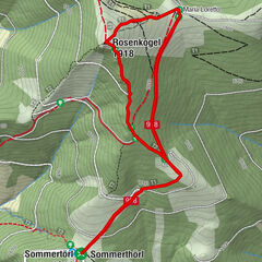
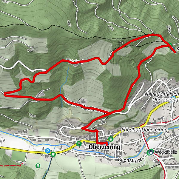
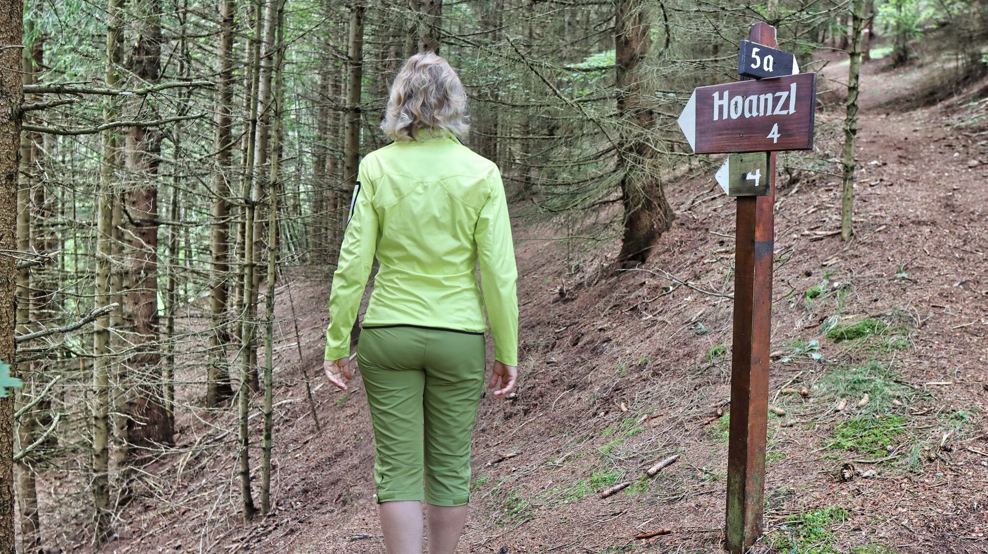
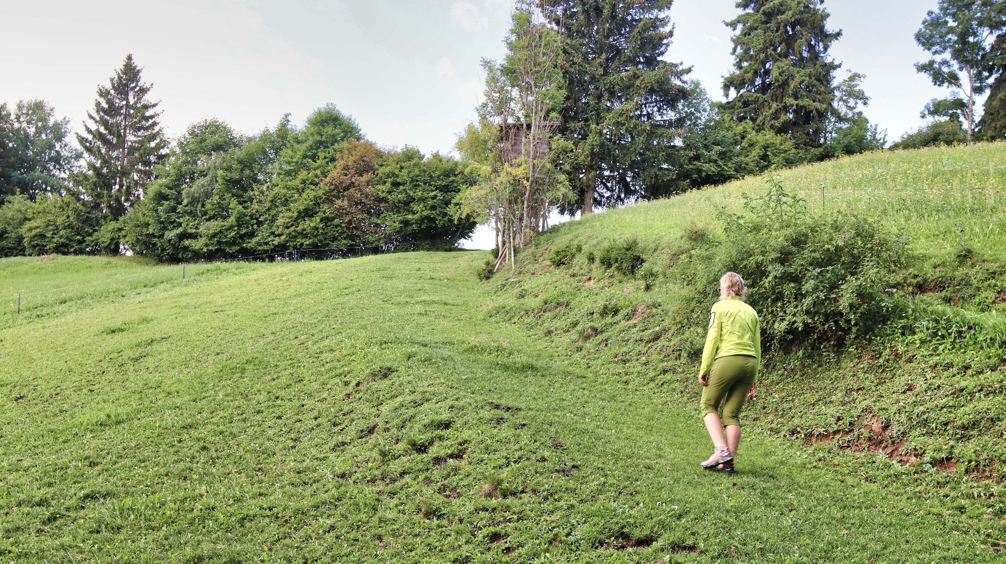
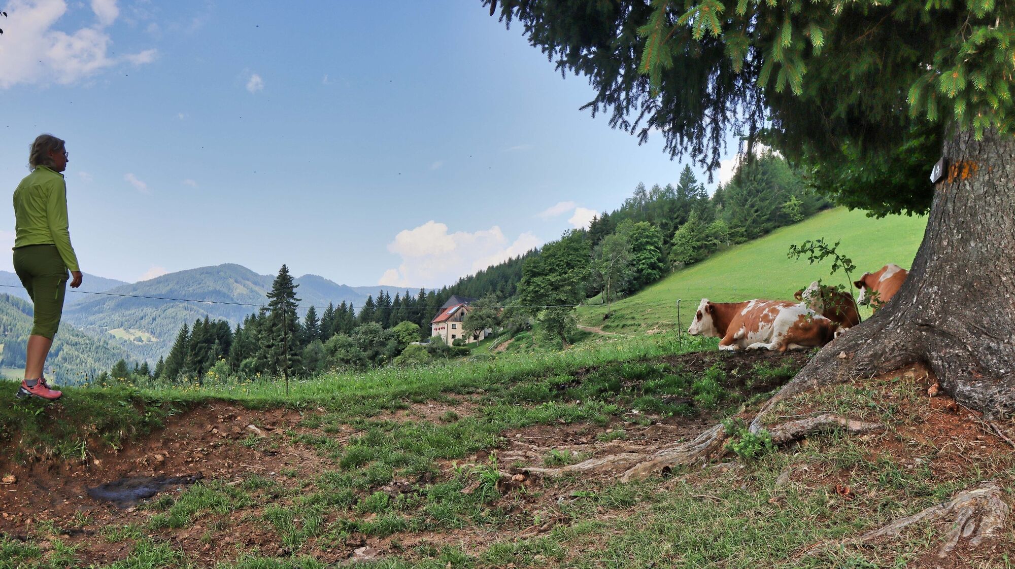
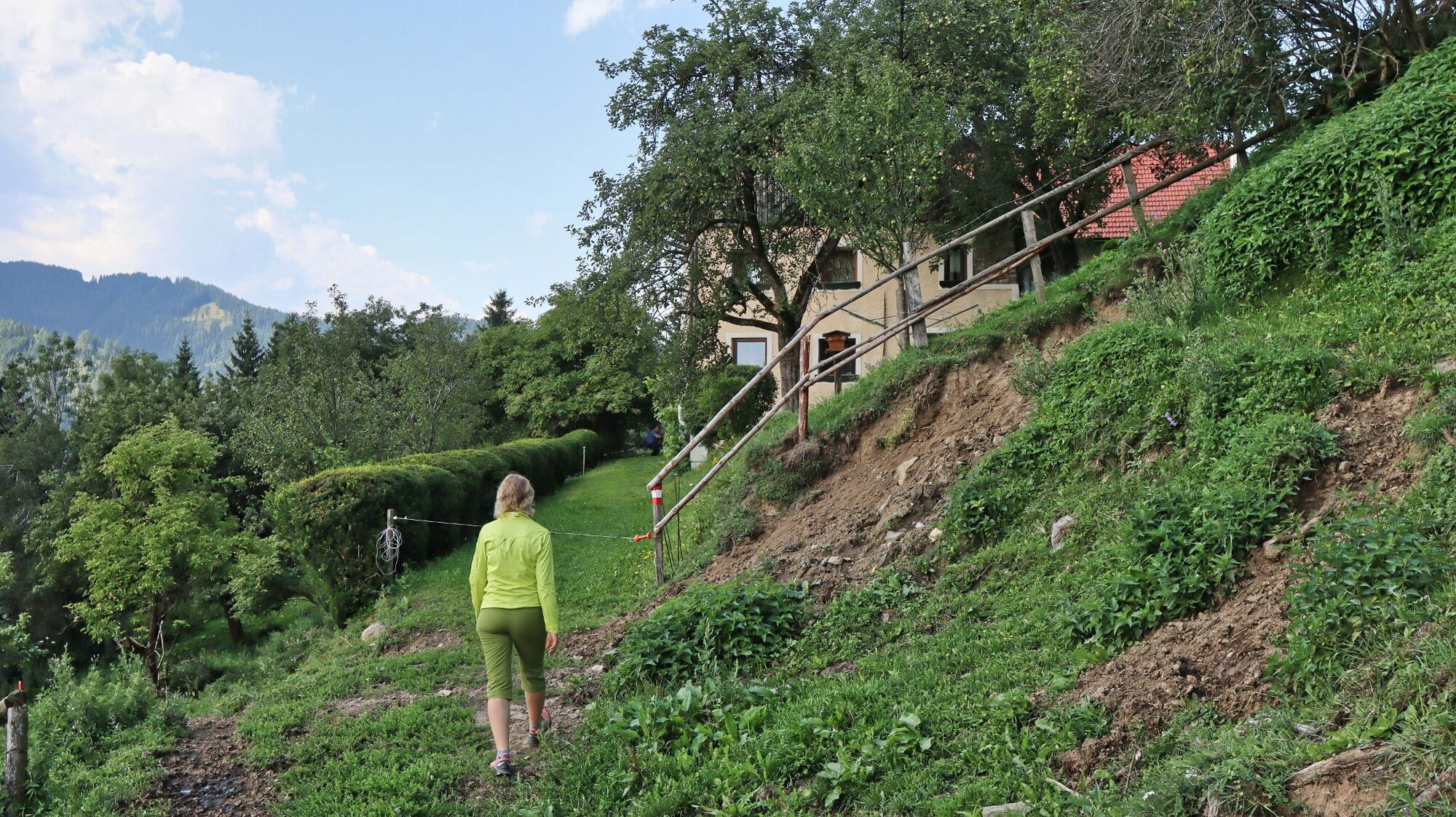
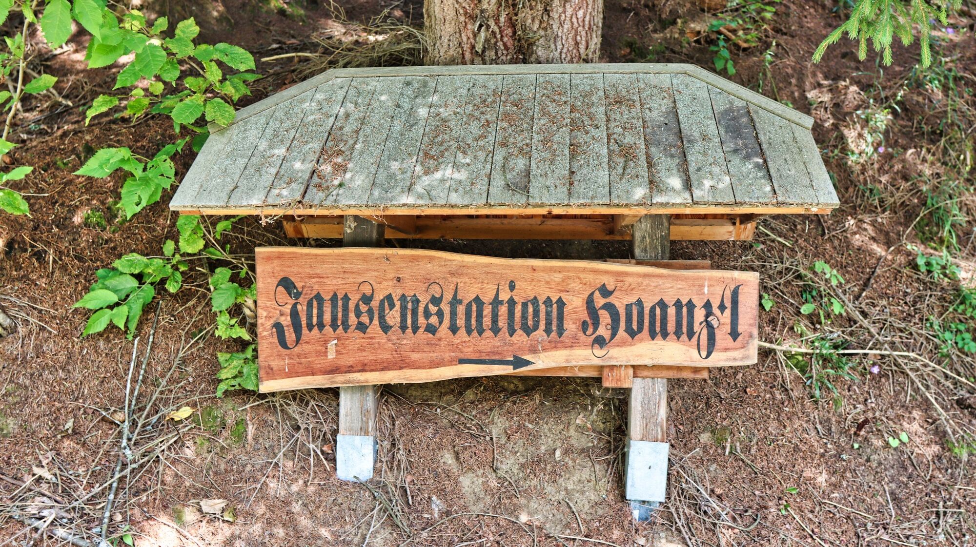
Circular hiking trail to the Kalvarienberg church and the Hoanzl snack station

Escursionismo

© Weges OG

© Weges OG

© Weges OG

© Weges OG

© Weges OG

© Weges OG

© Weges OG

© Weges OG

© Weges OG

© Weges OG

- Descrizione rapida
-
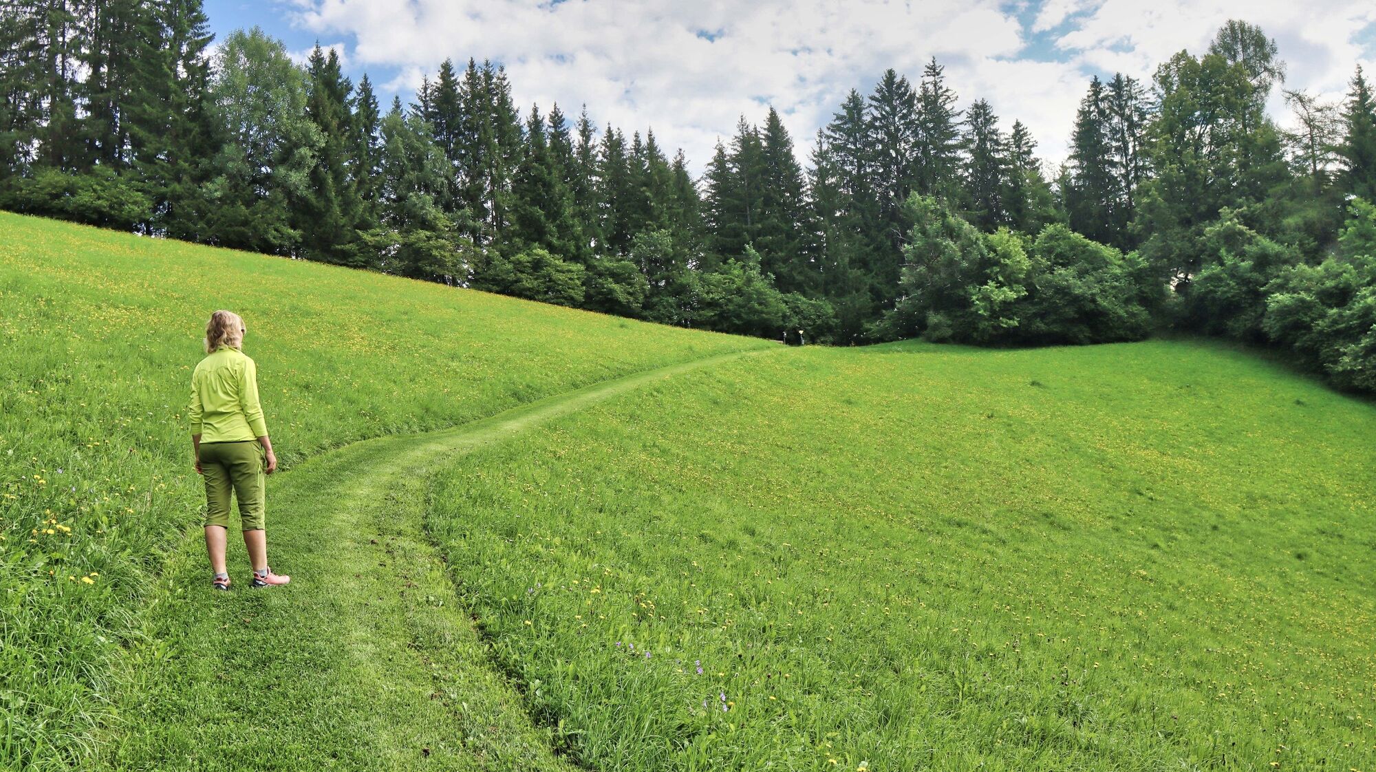
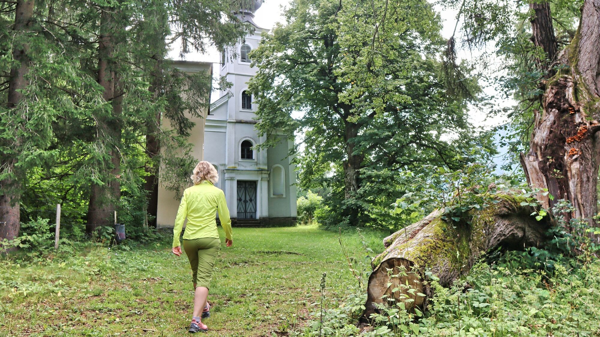
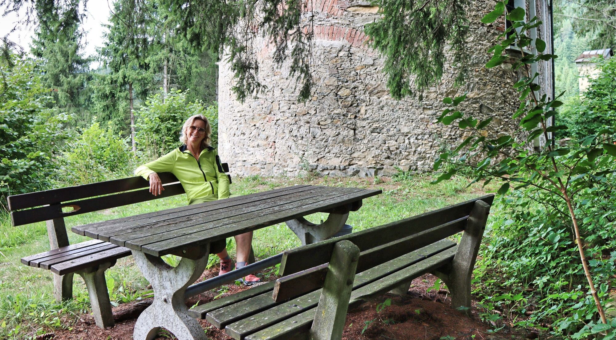
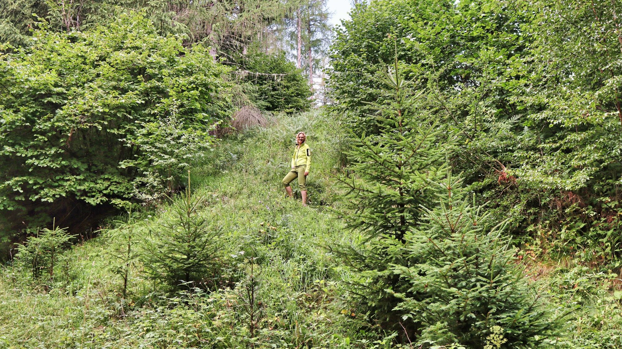
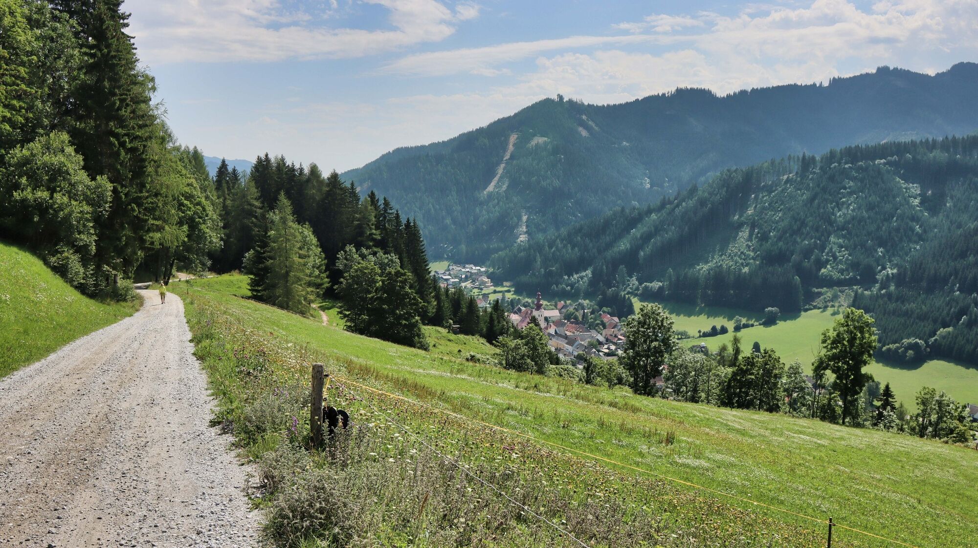
The circular hiking trail no. 4 leads along well-marked hiking trails to the Kalvarienberg church and on to the Hoanzl snack station. A leisurely hike for the whole family.
- Difficoltà
-
facile
- Valutazione
-
- Percorso
-
Gasthaus Zum Grüner Specht0,0 kmKalvarienbergkirche1,3 kmOberzeiring4,2 kmPfarrkirche St. Nikolaus4,2 km
- La stagione migliore
-
genfebmaraprmaggiulugagosetottnovdic
- Punto più alto
- 1.131 m
- Destinazione
-
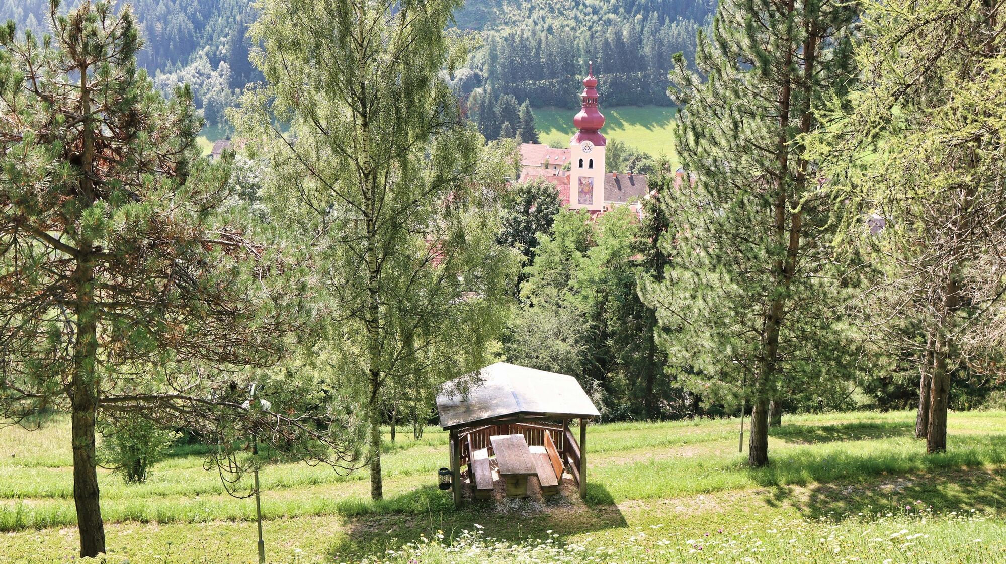
Village center in Oberzeiring
- Profilo altimetrico
-


- Autore
-
Il tour Circular hiking trail to the Kalvarienberg church and the Hoanzl snack station è utilizzato da outdooractive.com fornito.
GPS Downloads


Info generali
Punto di ristoro
Altri tour nelle regioni