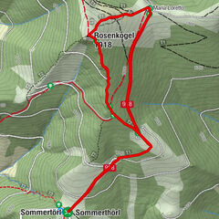
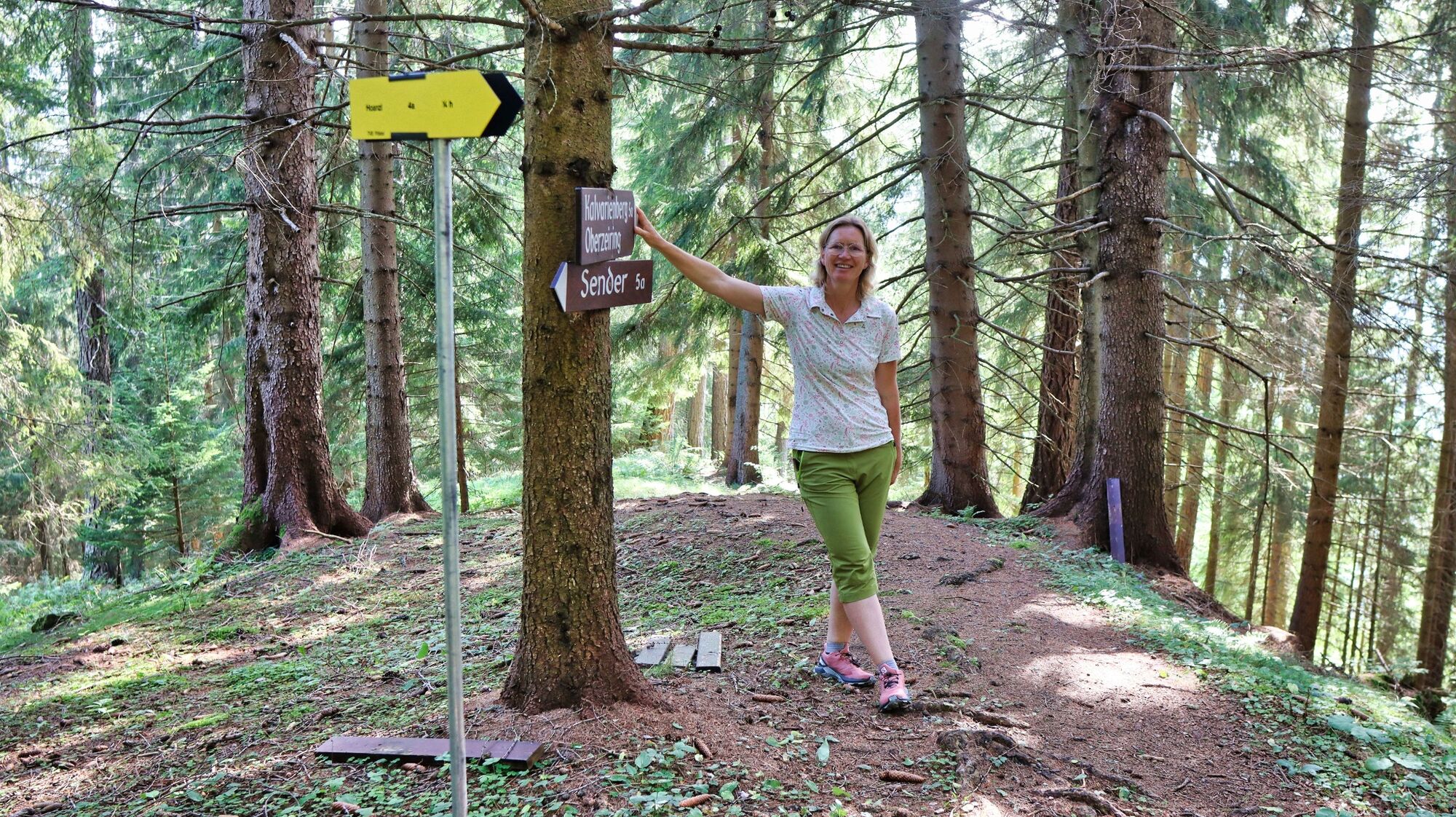
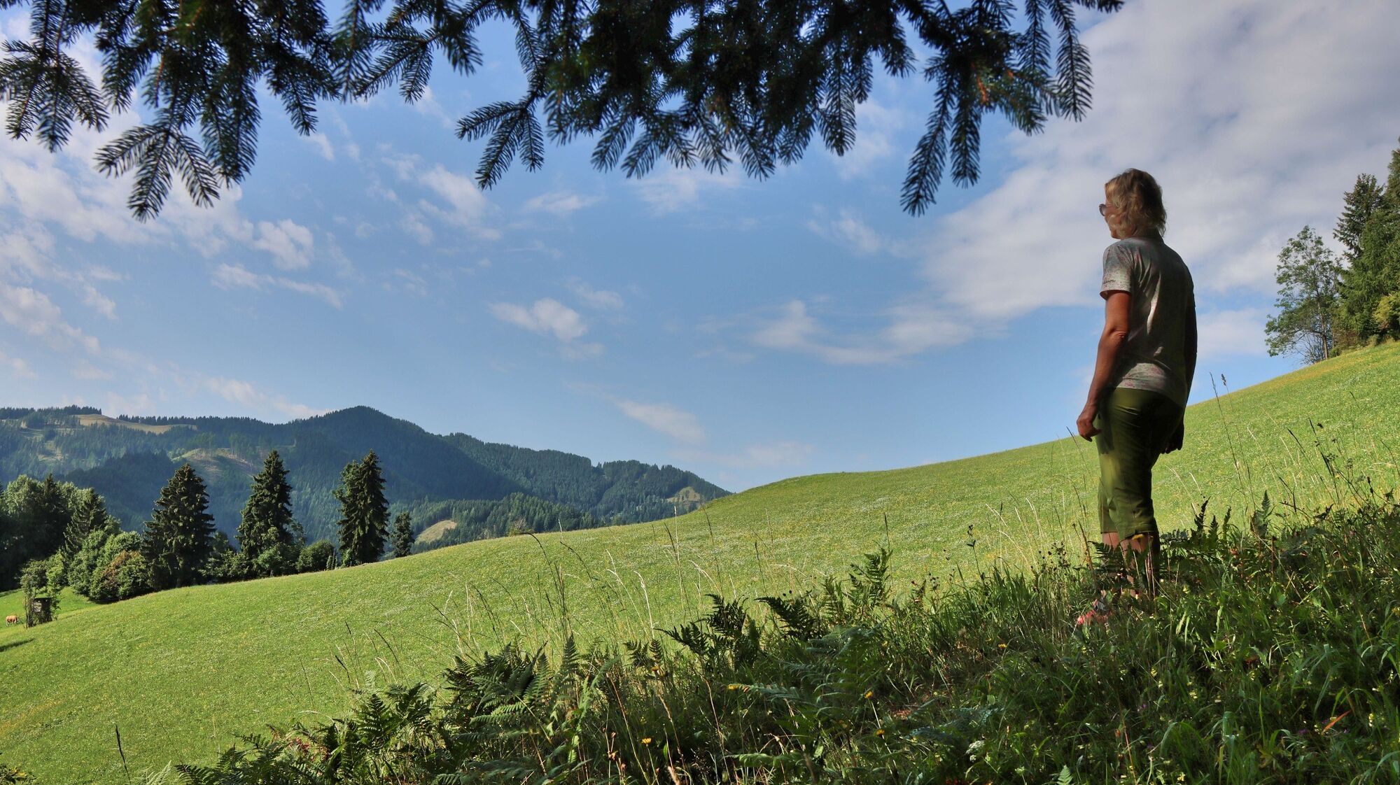
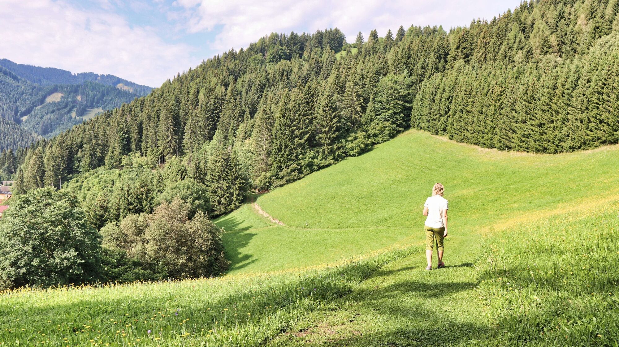
Oberzeiring - circular hike to the transmitter

Escursionismo

© Weges OG

© Weges OG

© Weges OG

© Weges OG

© Weges OG

© Weges OG

© Weges OG

© Weges OG

© Weges OG

© Weges OG


- Descrizione rapida
-
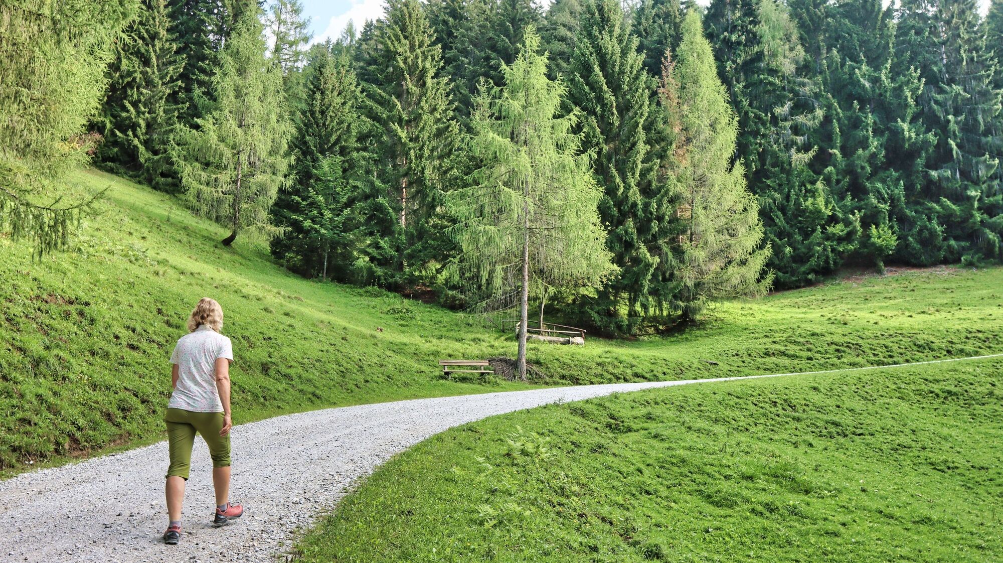
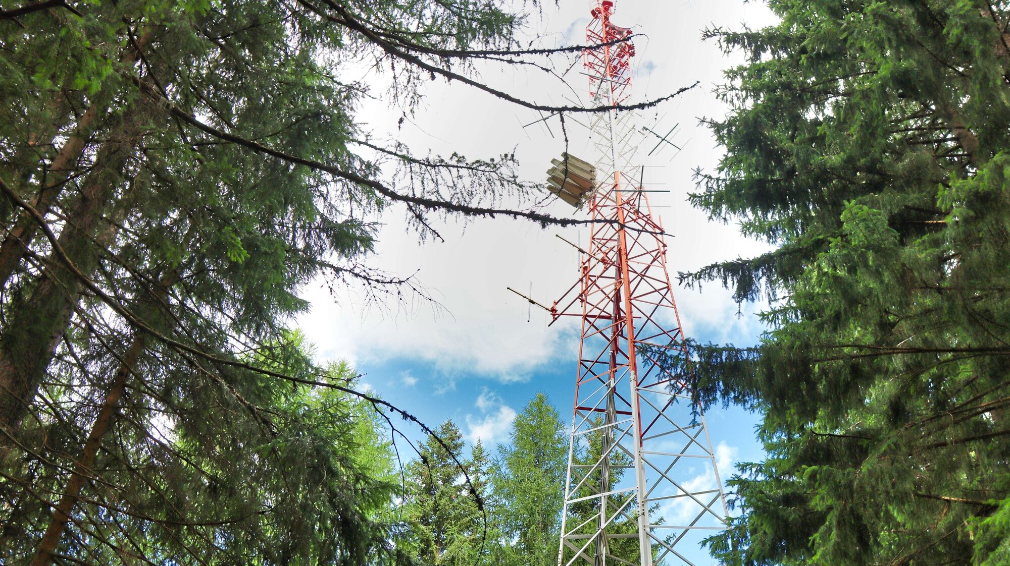
A circular hike with forest and meadow character to the highest point of the mountain ridge in the north of Oberzeiring, to the transmitter, and via the Kalvarienberg church back to Oberzeiring.
- Difficoltà
-
facile
- Valutazione
-
- Percorso
-
OberzeiringPfarrkirche St. NikolausGasthaus Zum Grüner Specht0,0 kmKalvarienbergkirche4,7 kmPfarrkirche St. Nikolaus6,0 kmOberzeiring6,0 kmGasthaus Zum Grüner Specht6,0 km
- La stagione migliore
-
genfebmaraprmaggiulugagosetottnovdic
- Punto più alto
- 1.260 m
- Destinazione
-
Center of Oberzeiring
- Profilo altimetrico
-


- Autore
-
Il tour Oberzeiring - circular hike to the transmitter è utilizzato da outdooractive.com fornito.
GPS Downloads


Info generali
Promettente
Altri tour nelle regioni