© Erlebnisregion Schladming-Dachstein - Schladming Dachstein

© Erlebnisregion Schladming-Dachstein - Schladming Dachstein

© Herbert Raffalt - Tourismusverband Haus-Aich-Gössenberg
- Descrizione rapida
-
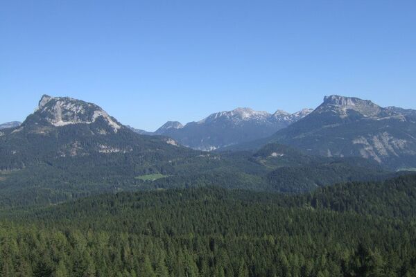
The path from Assach to the Stoderzinken is conditionally very demanding, but certainly one of the most beautiful in terms of fauna and flora.
- Difficoltà
-
intermedio
- Valutazione
-
- Percorso
-
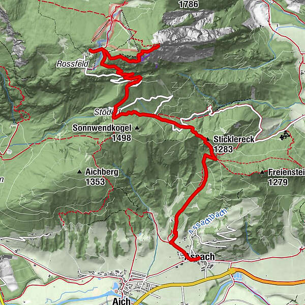
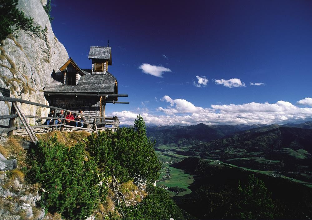
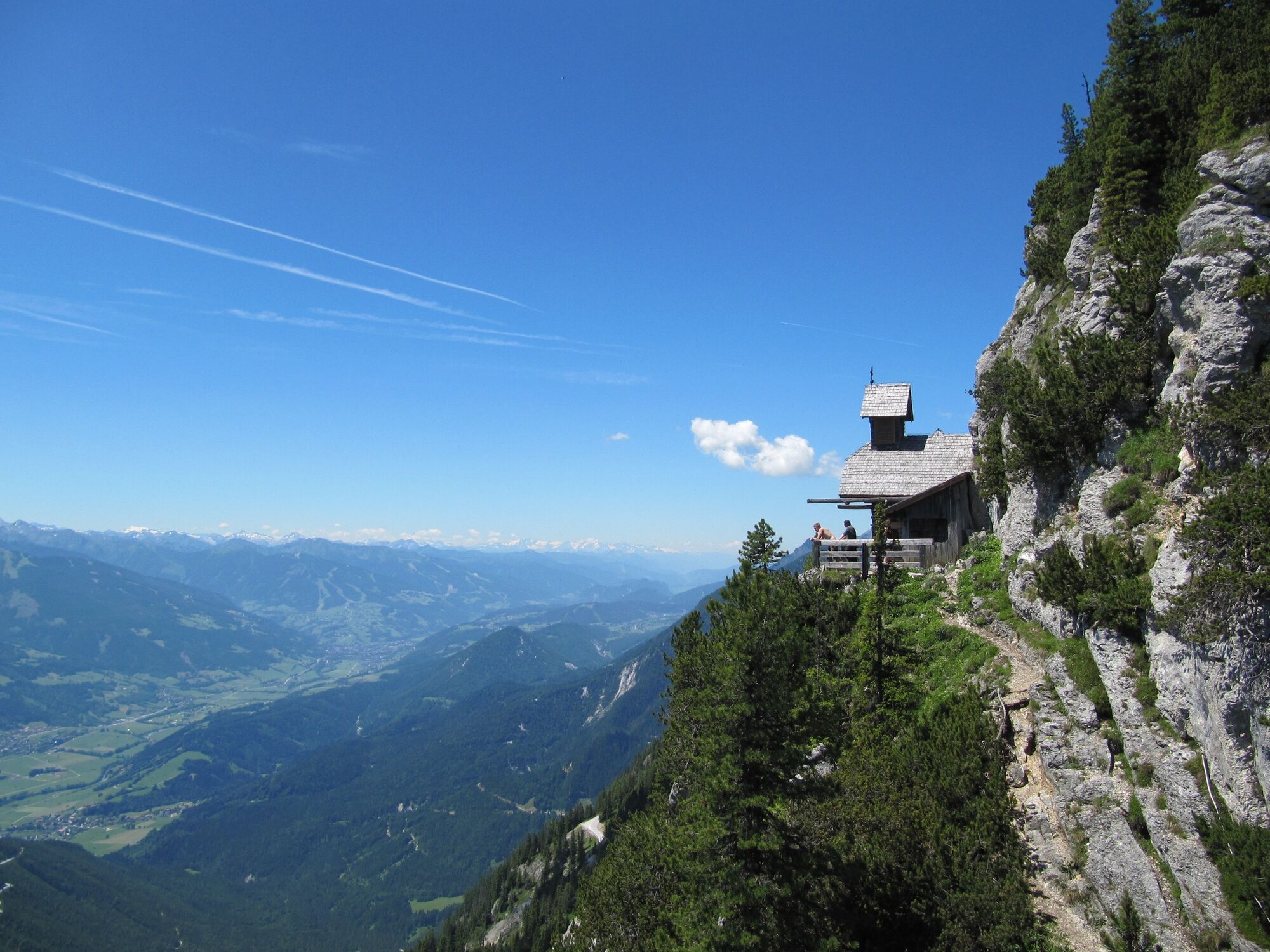
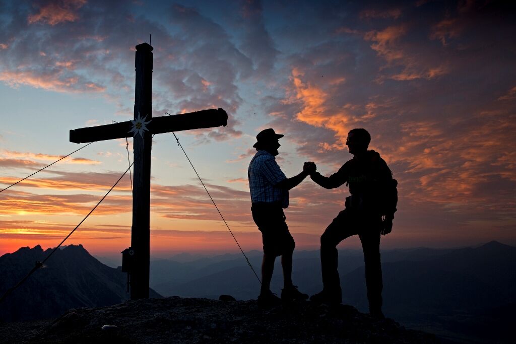
Pfarrkirche St. NikolausAssach0,0 kmSticklereck (1.283 m)2,9 kmStöderl4,8 kmDürrenbachquelle5,5 kmBerggasthof Steinerhaus7,3 kmStoder7,3 kmFriedenskircherl8,3 kmStoderzinken (2.048 m)8,9 km
- La stagione migliore
-
genfebmaraprmaggiulugagosetottnovdic
- Punto più alto
- 2.011 m
- Destinazione
-
Steinerhaus at Stoderzinken
- Profilo altimetrico
-

-
-
AutoreIl tour From Assach to the Stoderzinken è utilizzato da outdooractive.com fornito.
GPS Downloads


Info generali
Punto di ristoro
Flora
Fauna
Promettente
Altri tour nelle regioni
-
Schladming - Dachstein
3001
-
Haus - Aich
1364
-
Aich
275